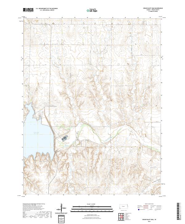
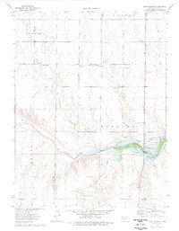
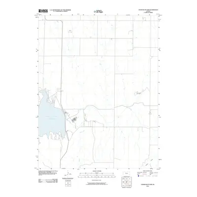
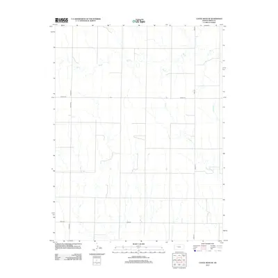
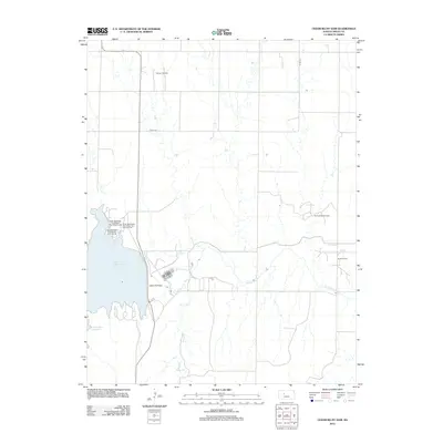
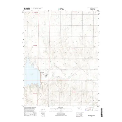
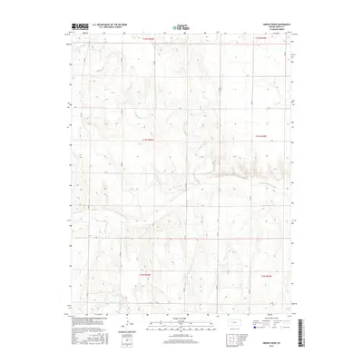
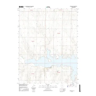
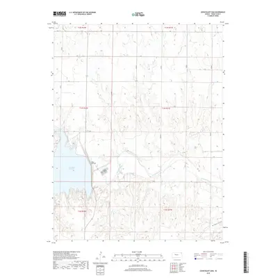
2022 Map of Cedar Bluff Dam
USGS Topo · Published 2022About this map
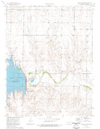
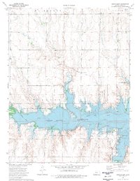
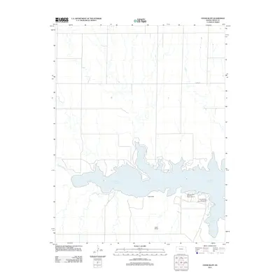
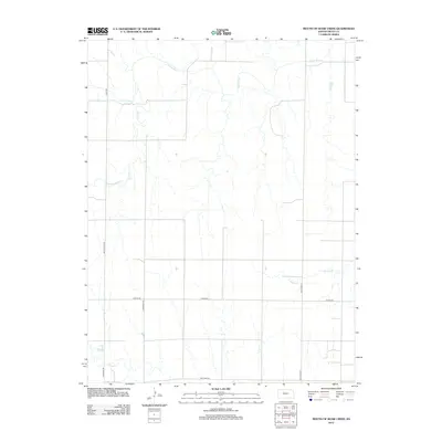
Cedar Bluff Reservoir dominates the western portion of this Kansas landscape, formed by the damming of the Smoky Hill River. The surrounding terrain in Trego County is defined by a rhythmic series of draws and ridges, including Wildon Draw to the southeast and the winding path of Tunnel Cr. The area is organized by a precise grid of local roads, such as Aa RD and 370 Ave, which facilitate movement through the high plains. This 2022 survey illustrates the modern management of water resources in a region where the river once flowed unimpeded, showing how the reservoir has become the central geographical feature of the township sections.
Find a feature on this map
27 named features on this map. Tap any name to fly to it.
Don’t see what you’re looking for? This feature index may not catch every label — zoom into the map to look around manually.
Map Details
Editions of this 2022 Cedar Bluff Dam Map
This is the sole edition of this map. No revisions or reprints were ever made.
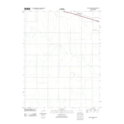
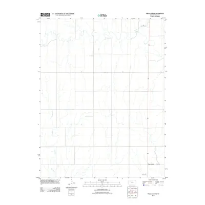
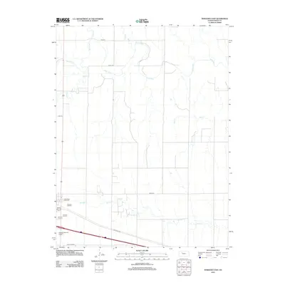
Historical Maps of Trego County Through Time
60 maps found
1960 Trego Center NE
Trego County, KS
1960 Trego Center
Trego County, KS
1962 Wa Keeney East
Trego County, KS

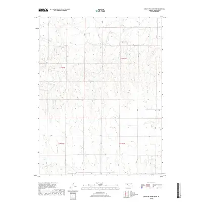
1963 Mouth of Shaw Creek
Trego County, KS
1963 Wa Keeney West
Trego County, KS
1972 Castle Rock NE
Trego County, KS
1974 Cedar Bluff Dam
Trego County, KS
1974 Cedar Bluff
Trego County, KS
1974 Fort Downer
Trego County, KS

1974 Gibson Creek
Trego County, KS
2009 Castle Rock NE
Trego County, KS
2009 Fort Downer
Trego County, KS
2009 Gibson Creek
Trego County, KS
2009 Mouth of Shaw Creek
Trego County, KS
2009 Trego Center NE
Trego County, KS
2010 Cedar Bluff Dam
Trego County, KS
2010 Cedar Bluff
Trego County, KS
2010 Trego Center
Trego County, KS
2010 WaKeeney East
Trego County, KS
2010 WaKeeney West
Trego County, KS
2012 Castle Rock NE
Trego County, KS
2012 Cedar Bluff Dam
Trego County, KS
2012 Cedar Bluff
Trego County, KS
2012 Fort Downer
Trego County, KS
2012 Gibson Creek
Trego County, KS
2012 Mouth of Shaw Creek
Trego County, KS
2012 Trego Center NE
Trego County, KS
2012 Trego Center
Trego County, KS
2012 WaKeeney East
Trego County, KS
2012 WaKeeney West
Trego County, KS
2015 Castle Rock NE
Trego County, KS
2015 Cedar Bluff Dam
Trego County, KS
2015 Fort Downer
Trego County, KS
2015 Gibson Creek
Trego County, KS
2015 Trego Center NE
Trego County, KS
2015 Trego Center
Trego County, KS
2015 WaKeeney East
Trego County, KS
2015 WaKeeney West
Trego County, KS
2016 Cedar Bluff
Trego County, KS
2016 Mouth of Shaw Creek
Trego County, KS
2018 Castle Rock NE
Trego County, KS
2018 Cedar Bluff Dam
Trego County, KS
2018 Cedar Bluff
Trego County, KS
2018 Fort Downer
Trego County, KS
2018 Gibson Creek
Trego County, KS
2018 Mouth of Shaw Creek
Trego County, KS
2018 Trego Center NE
Trego County, KS
2018 Trego Center
Trego County, KS
2018 WaKeeney East
Trego County, KS
2018 WaKeeney West
Trego County, KS
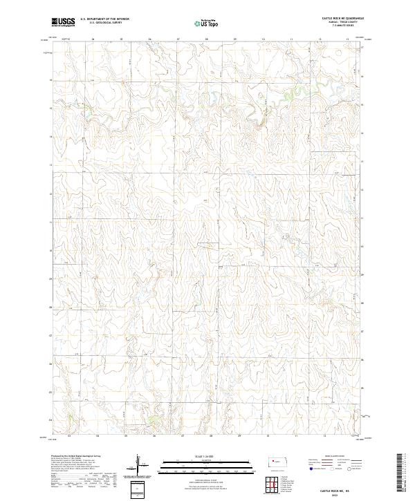
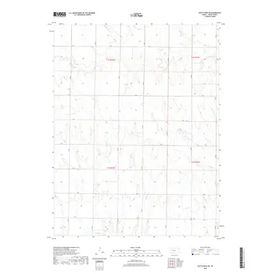
2022 Castle Rock NE
Trego County, KS
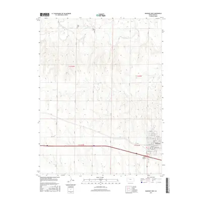
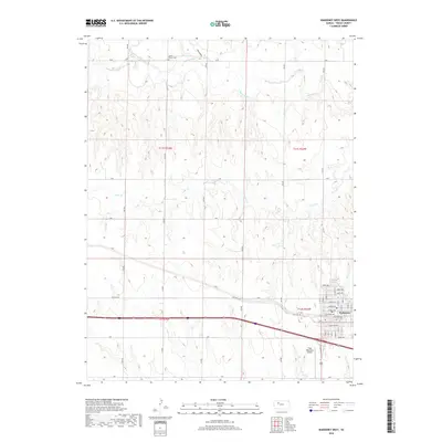
2022 Cedar Bluff Dam
Trego County, KS
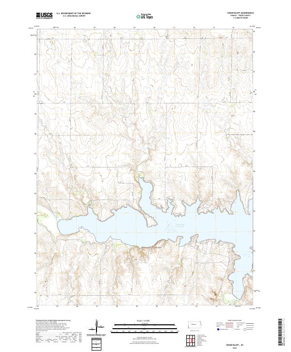
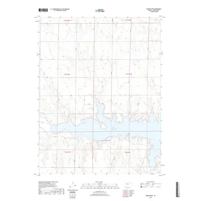
2022 Cedar Bluff
Trego County, KS
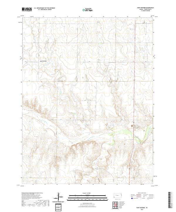
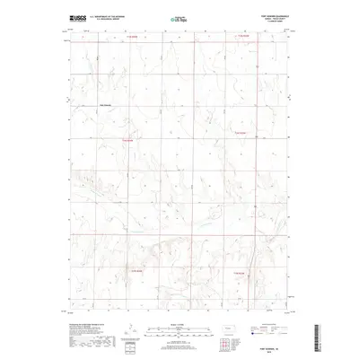
2022 Fort Downer
Trego County, KS
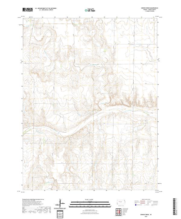
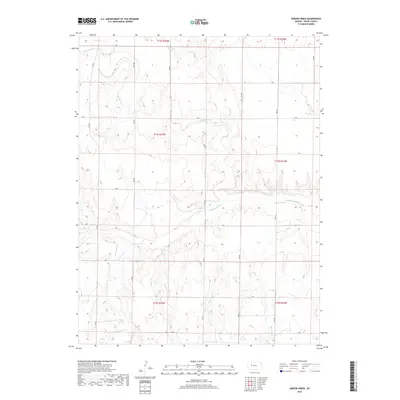
2022 Gibson Creek
Trego County, KS
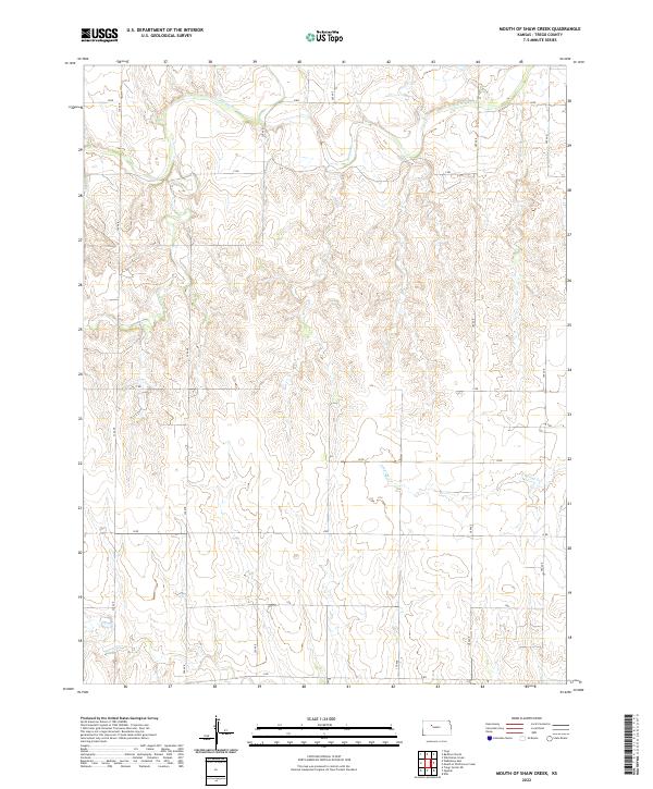
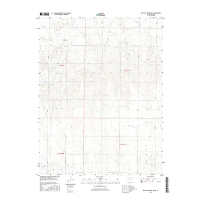
2022 Mouth of Shaw Creek
Trego County, KS
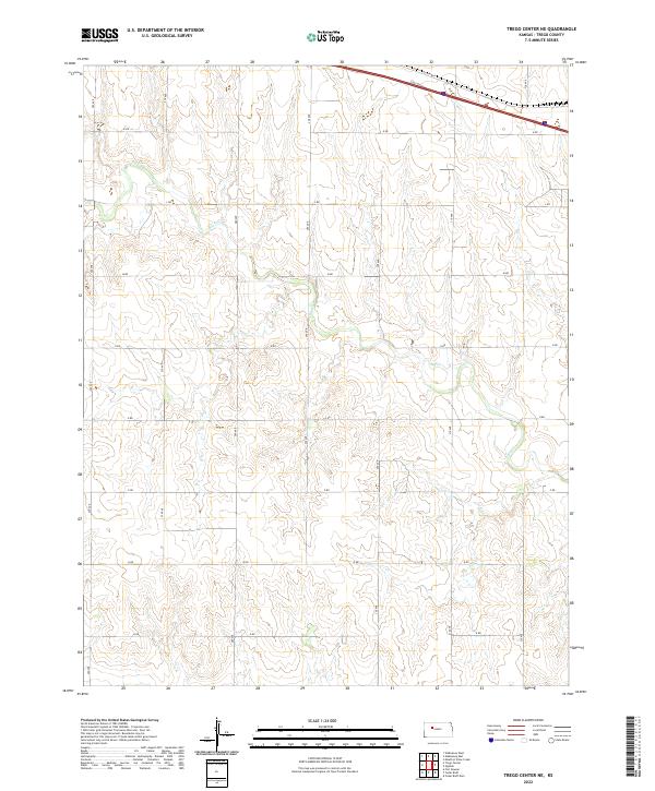
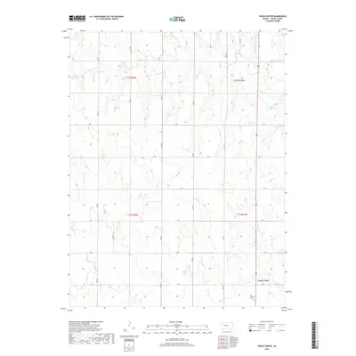
2022 Trego Center NE
Trego County, KS
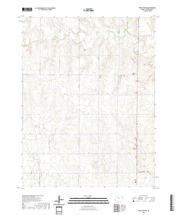
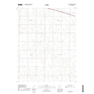
2022 Trego Center
Trego County, KS
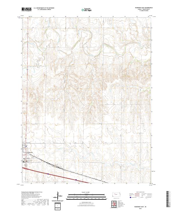
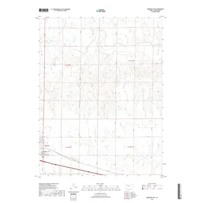
2022 WaKeeney East
Trego County, KS
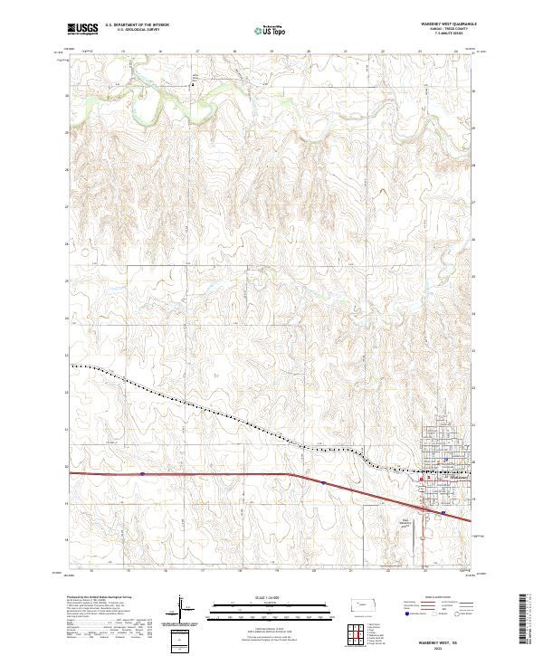
2022 WaKeeney West
Trego County, KS