2022 Map of Cedar Bluff
USGS Topo · Published 2022About this map
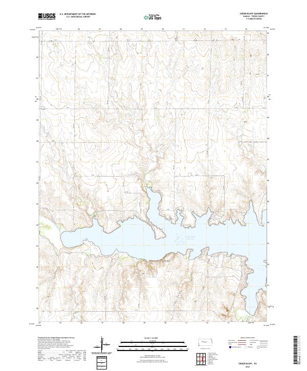
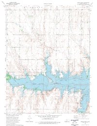
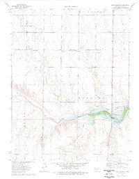
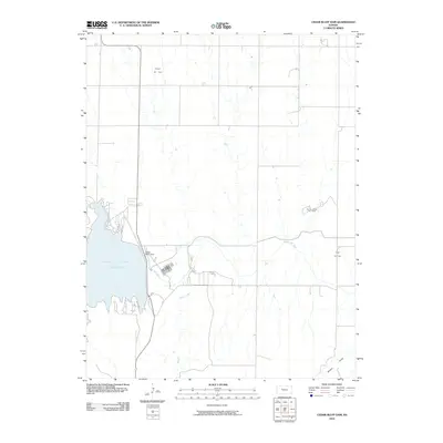
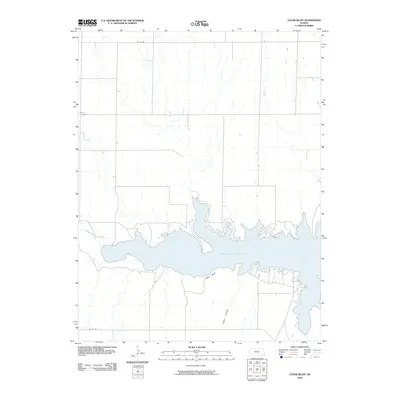
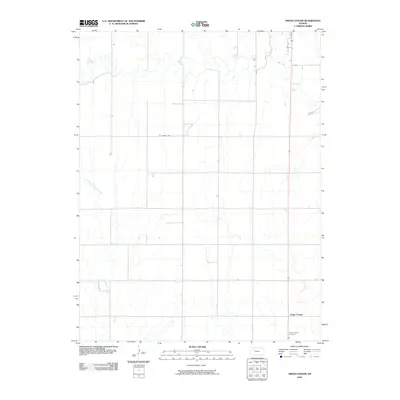
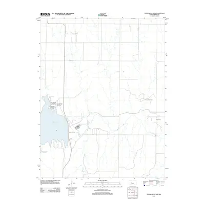
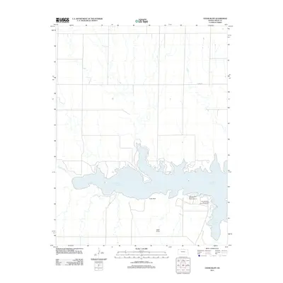
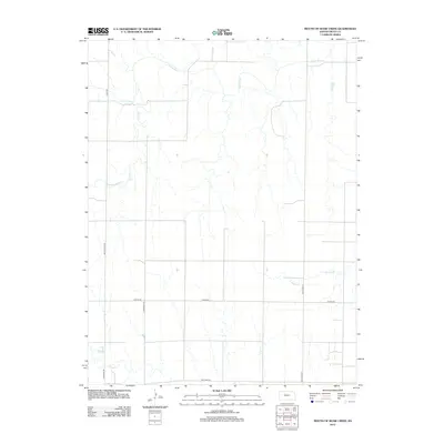
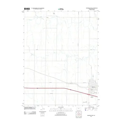
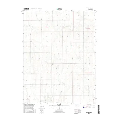
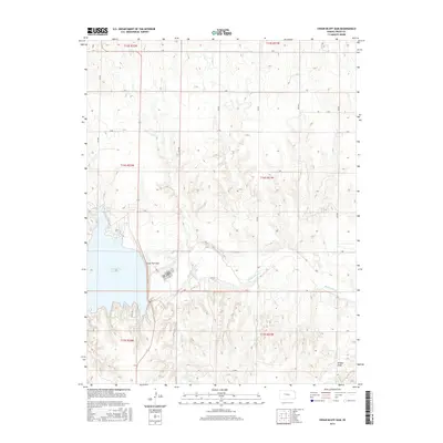
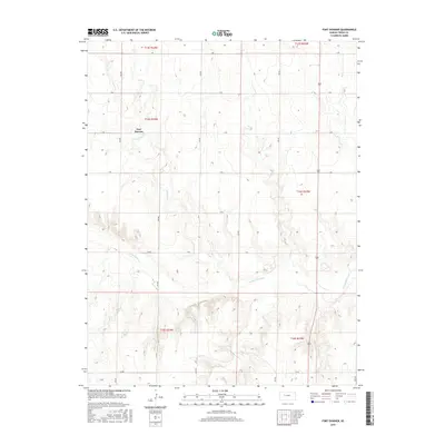
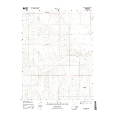
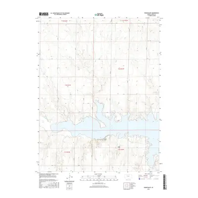
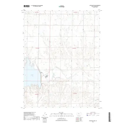
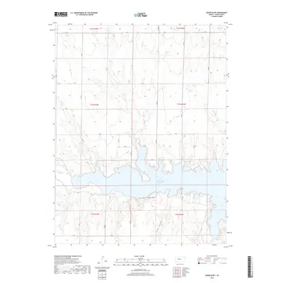
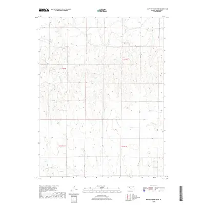
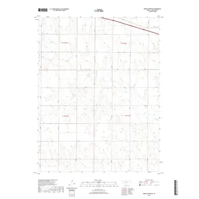
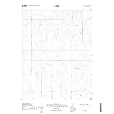
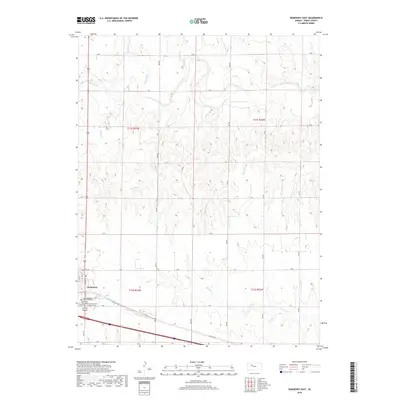
Cedar Bluff Reservoir dominates the landscape of this Trego County survey, created by the impoundment of the Smoky Hill River. The map reveals the dramatic geography of the western plains, specifically the prominent limestone escarpment known as Cedar Bluff and the narrow passage of Cedar Gorge situated on the southern shore. This era of the reservoir's history is defined by a rigid grid of rural infrastructure, including AA Rd and 260 Ave, which cross the high ground above the water. Small drainages like Page Cr feed into the lake, illustrating the complex hydrography that shapes the central Kansas plains. The layout of the road network provides a clear view of land division and access points to the reservoir’s many inlets and fingers.
Find a feature on this map
29 named features on this map. Tap any name to fly to it.
Don’t see what you’re looking for? This feature index may not catch every label — zoom into the map to look around manually.
Map Details
Editions of this 2022 Cedar Bluff Map
This is the sole edition of this map. No revisions or reprints were ever made.
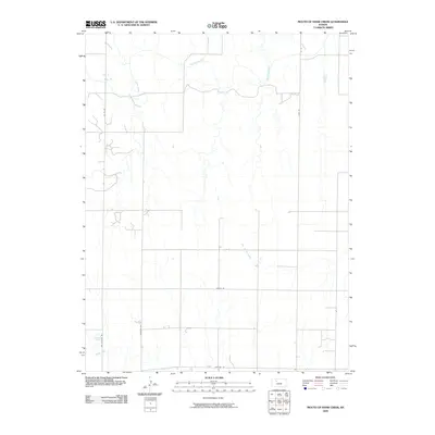
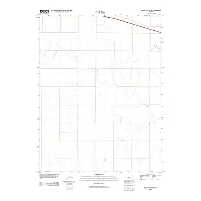
Historical Maps of Trego County Through Time
60 maps found
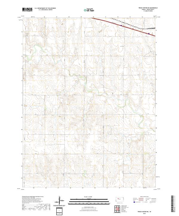
1960 Trego Center NE
Trego County, KS
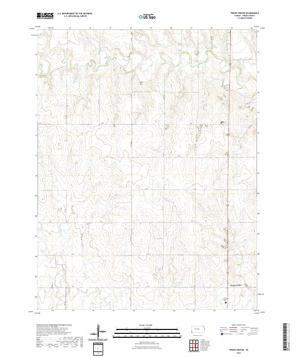
1960 Trego Center
Trego County, KS
1962 Wa Keeney East
Trego County, KS

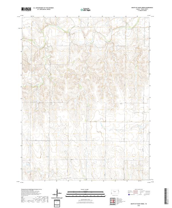
1963 Mouth of Shaw Creek
Trego County, KS
1963 Wa Keeney West
Trego County, KS
1972 Castle Rock NE
Trego County, KS
1974 Cedar Bluff Dam
Trego County, KS
1974 Cedar Bluff
Trego County, KS
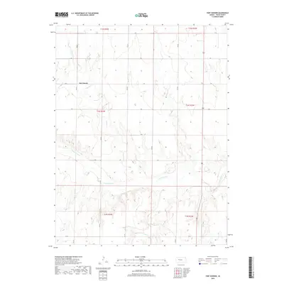
1974 Fort Downer
Trego County, KS

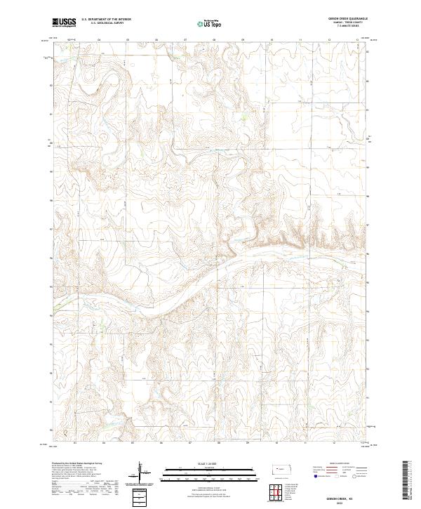
1974 Gibson Creek
Trego County, KS
2009 Castle Rock NE
Trego County, KS
2009 Fort Downer
Trego County, KS
2009 Gibson Creek
Trego County, KS
2009 Mouth of Shaw Creek
Trego County, KS
2009 Trego Center NE
Trego County, KS
2010 Cedar Bluff Dam
Trego County, KS
2010 Cedar Bluff
Trego County, KS
2010 Trego Center
Trego County, KS
2010 WaKeeney East
Trego County, KS
2010 WaKeeney West
Trego County, KS
2012 Castle Rock NE
Trego County, KS
2012 Cedar Bluff Dam
Trego County, KS
2012 Cedar Bluff
Trego County, KS
2012 Fort Downer
Trego County, KS
2012 Gibson Creek
Trego County, KS
2012 Mouth of Shaw Creek
Trego County, KS
2012 Trego Center NE
Trego County, KS
2012 Trego Center
Trego County, KS
2012 WaKeeney East
Trego County, KS
2012 WaKeeney West
Trego County, KS
2015 Castle Rock NE
Trego County, KS
2015 Cedar Bluff Dam
Trego County, KS
2015 Fort Downer
Trego County, KS
2015 Gibson Creek
Trego County, KS
2015 Trego Center NE
Trego County, KS
2015 Trego Center
Trego County, KS
2015 WaKeeney East
Trego County, KS
2015 WaKeeney West
Trego County, KS
2016 Cedar Bluff
Trego County, KS
2016 Mouth of Shaw Creek
Trego County, KS
2018 Castle Rock NE
Trego County, KS
2018 Cedar Bluff Dam
Trego County, KS
2018 Cedar Bluff
Trego County, KS
2018 Fort Downer
Trego County, KS
2018 Gibson Creek
Trego County, KS
2018 Mouth of Shaw Creek
Trego County, KS
2018 Trego Center NE
Trego County, KS
2018 Trego Center
Trego County, KS
2018 WaKeeney East
Trego County, KS
2018 WaKeeney West
Trego County, KS
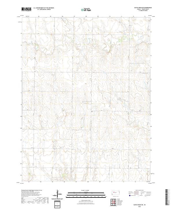
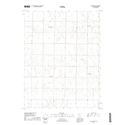
2022 Castle Rock NE
Trego County, KS
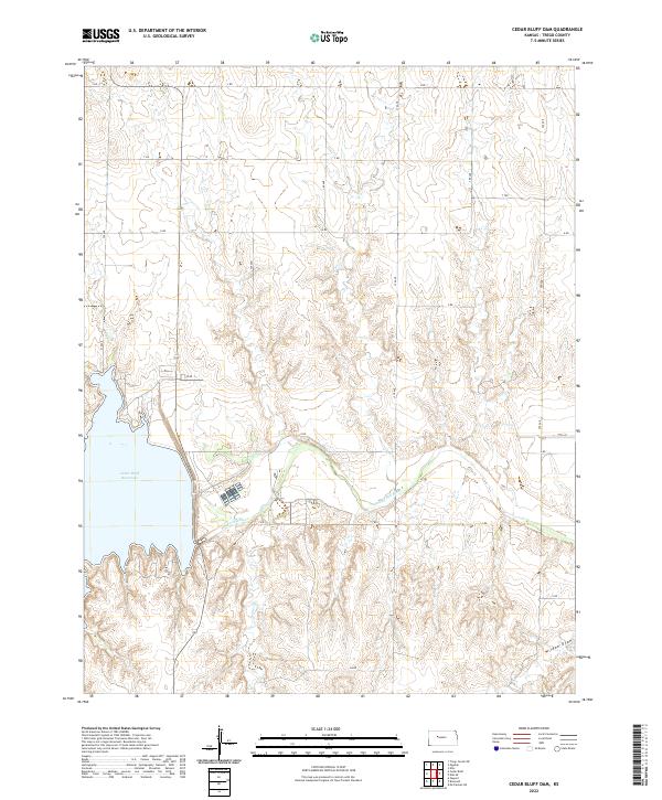
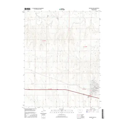
2022 Cedar Bluff Dam
Trego County, KS
2022 Cedar Bluff
Trego County, KS
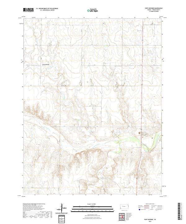
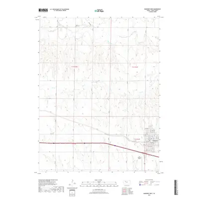
2022 Fort Downer
Trego County, KS
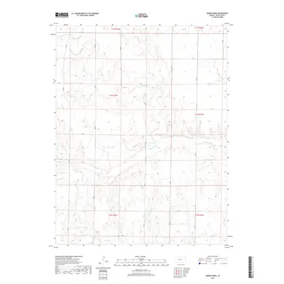
2022 Gibson Creek
Trego County, KS
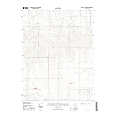
2022 Mouth of Shaw Creek
Trego County, KS
2022 Trego Center NE
Trego County, KS
2022 Trego Center
Trego County, KS
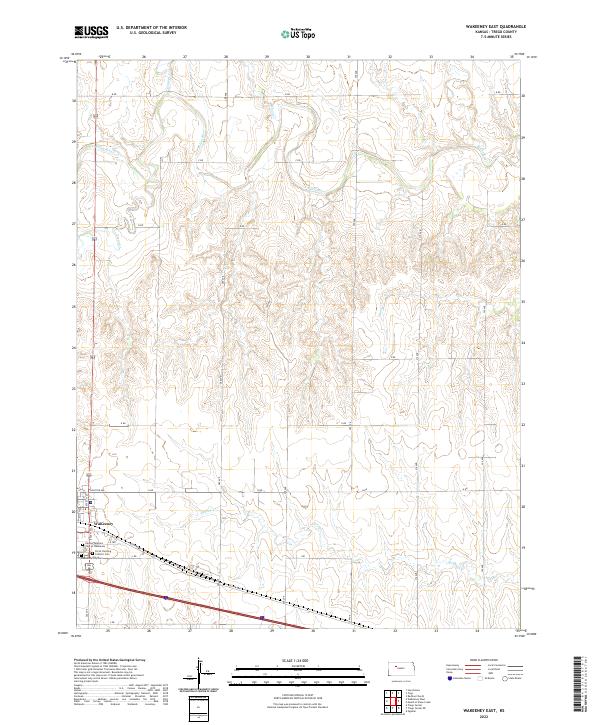
2022 WaKeeney East
Trego County, KS
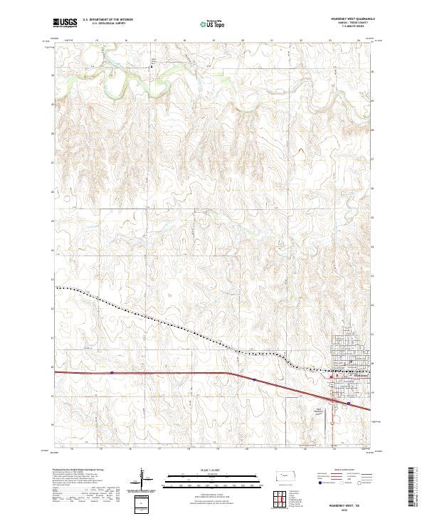
2022 WaKeeney West
Trego County, KS