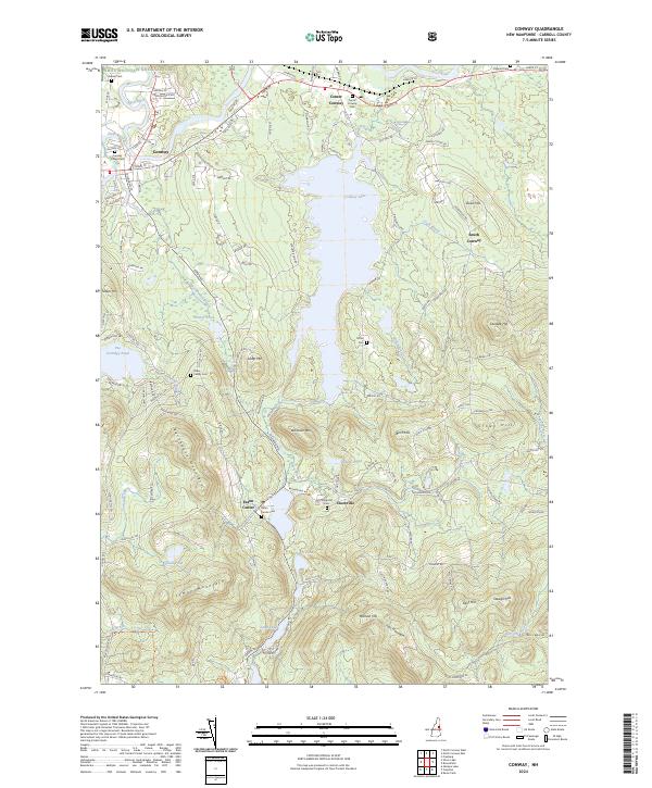
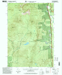
2024 Map of Conway
USGS Topo · Published 2024About this map
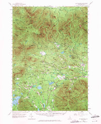
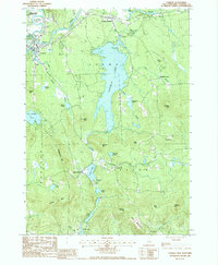
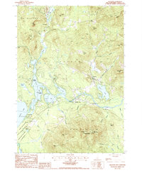
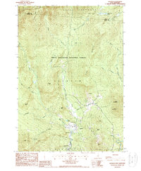
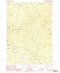
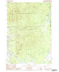
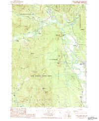
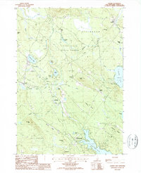
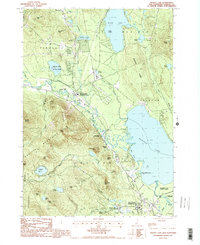
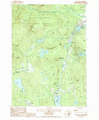
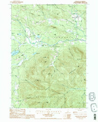
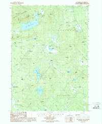
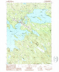
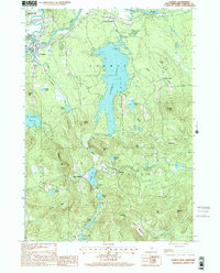
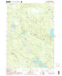
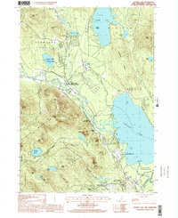
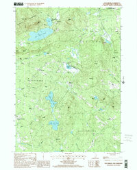
Conway Lake dominates the central terrain of this quadrangle, acting as a focal point for the surrounding settlements of Center Conway and South Conway. The landscape is defined by the sharp transition from the river valleys of the Saco River and Swift River in the north to the increasingly mountainous terrain of the southern half. Here, peaks such as Rockhouse Mountain and Lyman Mountain rise above a network of smaller ponds including Loud Pond and Hatch Pond.
Find a feature on this map
117 named features on this map. Tap any name to fly to it.
Don’t see what you’re looking for? This feature index may not catch every label — zoom into the map to look around manually.
Map Details
Editions of this 2024 Conway Map
This is the sole edition of this map. No revisions or reprints were ever made.
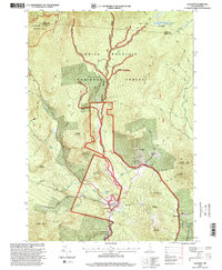
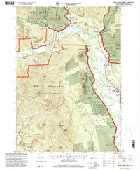
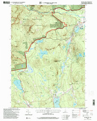
Historical Maps of Madison Through Time
46 maps found
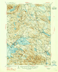
1928 Wolfeboro
Carroll County, NH
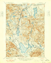
1930 Ossipee Lake
Carroll County, NH
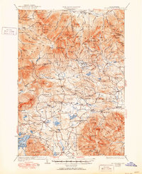
1931 Mt. Chocorua
Carroll County, NH
1958 Mt. Chocorua
Carroll County, NH
1958 Ossipee Lake
Carroll County, NH
1958 Wolfeboro
Carroll County, NH
1987 Bartlett
Carroll County, NH

1987 Chatham
Carroll County, NH
1987 Conway
Carroll County, NH
1987 Freedom
Carroll County, NH
1987 Jackson
Carroll County, NH
1987 Mount Chocorua
Carroll County, NH
1987 North Conway East
Carroll County, NH
1987 North Conway West
Carroll County, NH
1987 Ossipee
Carroll County, NH
1987 Ossipee Lake
Carroll County, NH
1987 Silver Lake
Carroll County, NH
1987 Tamworth
Carroll County, NH
1987 Tuftonboro
Carroll County, NH
1987 Wolfeboro
Carroll County, NH

1995 Bartlett
Carroll County, NH
1995 Chatham
Carroll County, NH
1995 Jackson
Carroll County, NH

1995 Mount Chocorua
Carroll County, NH

1995 North Conway East
Carroll County, NH
1995 North Conway West
Carroll County, NH
1995 Silver Lake
Carroll County, NH
1998 Conway
Carroll County, NH
1998 Ossipee
Carroll County, NH
1998 Ossipee Lake
Carroll County, NH

1998 Tamworth
Carroll County, NH
2000 Tuftonboro
Carroll County, NH
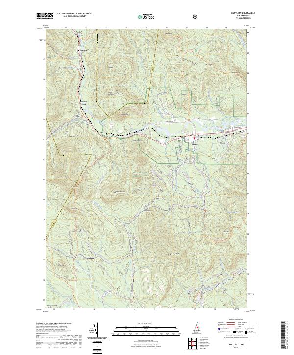
2024 Bartlett
Carroll County, NH
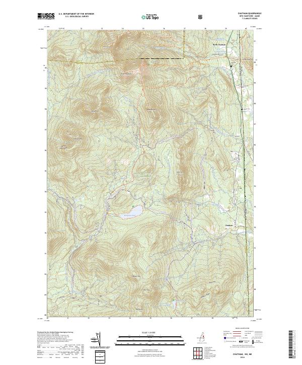
2024 Chatham
Carroll County, NH
2024 Conway
Carroll County, NH
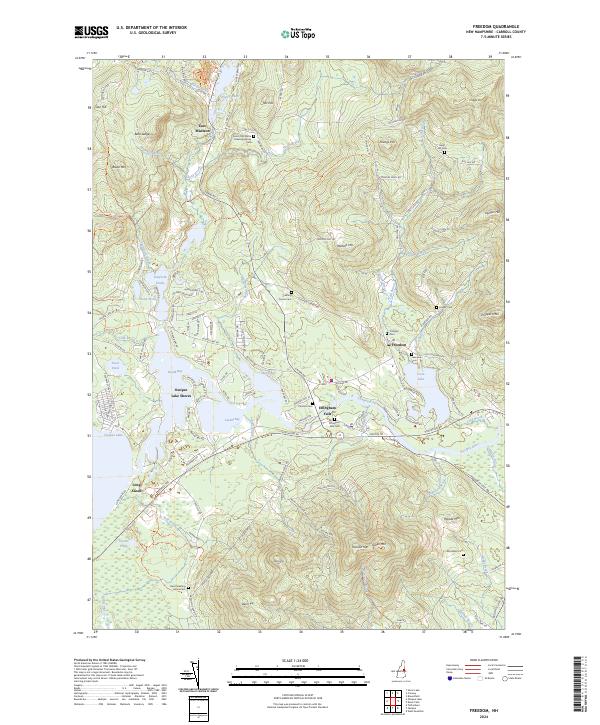
2024 Freedom
Carroll County, NH
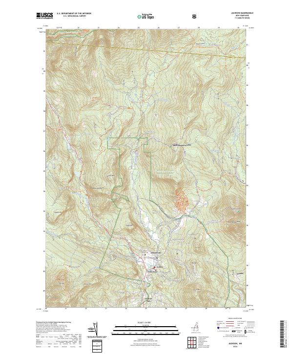
2024 Jackson
Carroll County, NH
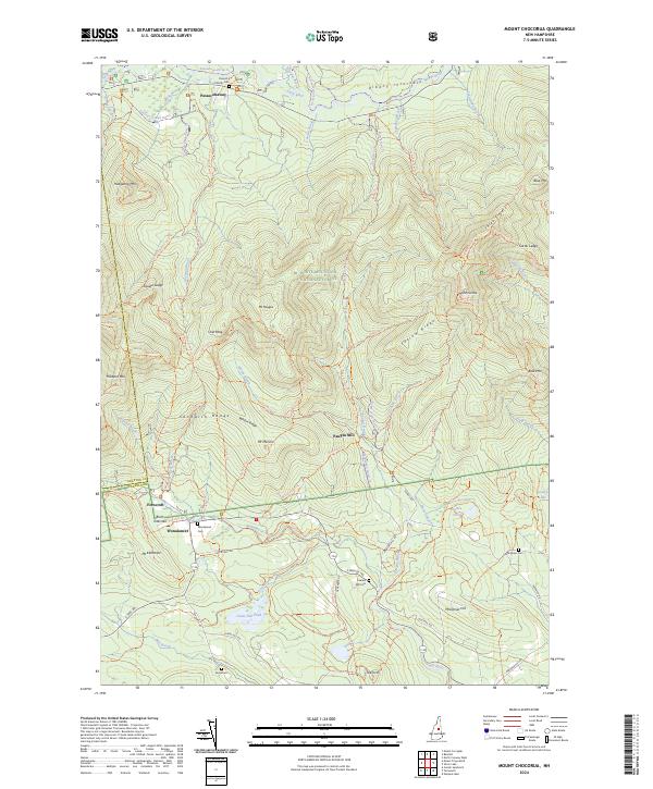
2024 Mount Chocorua
Carroll County, NH
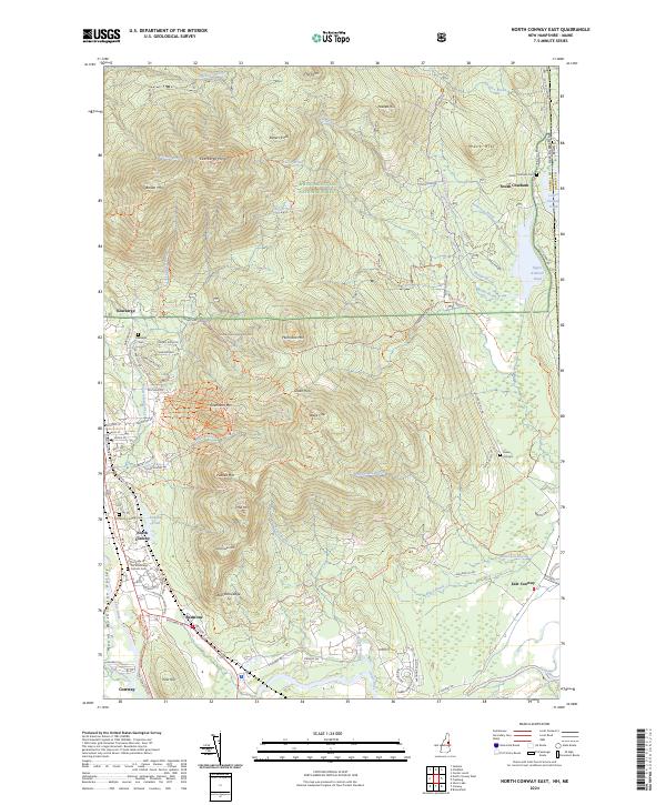
2024 North Conway East
Carroll County, NH
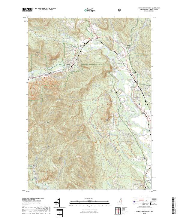
2024 North Conway West
Carroll County, NH
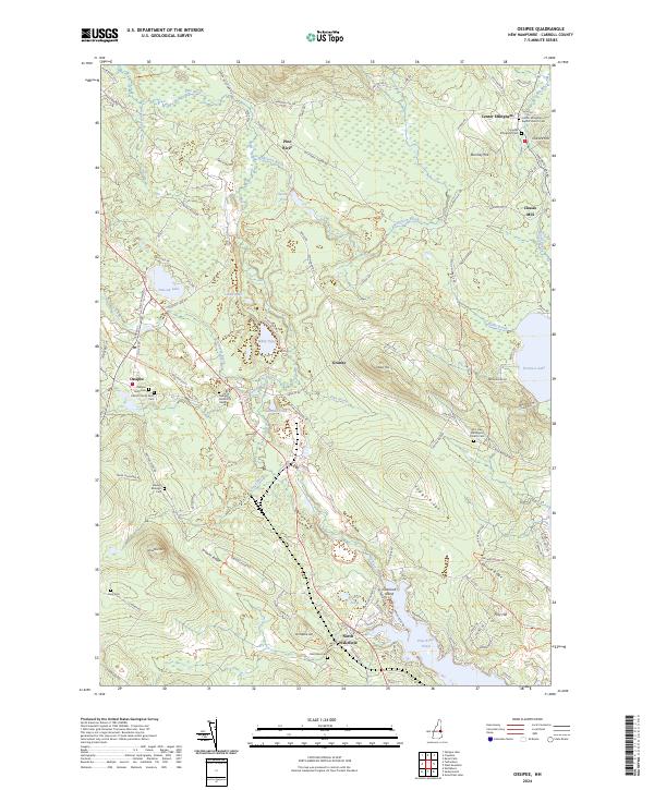
2024 Ossipee
Carroll County, NH
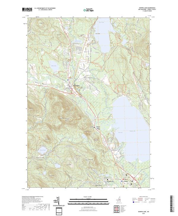
2024 Ossipee Lake
Carroll County, NH
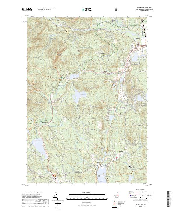
2024 Silver Lake
Carroll County, NH
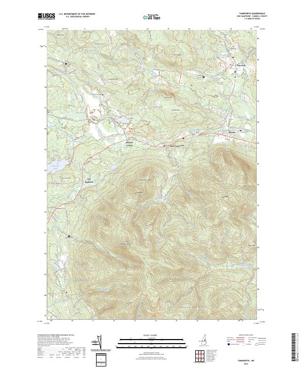
2024 Tamworth
Carroll County, NH
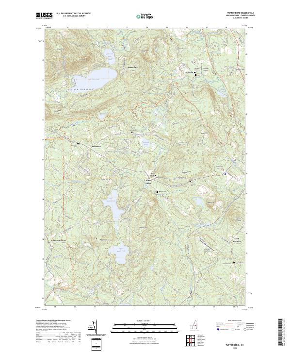
2024 Tuftonboro
Carroll County, NH
2024 Wolfeboro
Carroll County, NH