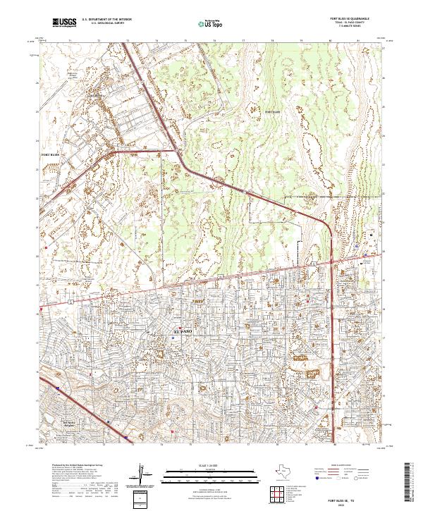
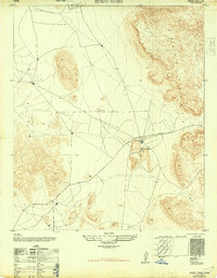
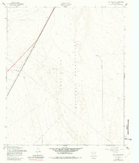
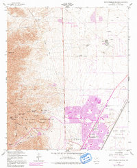
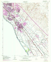
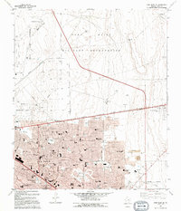
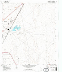
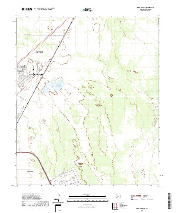
2022 Map of Fort Bliss SE
USGS Topo · Published 2022About this map
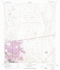
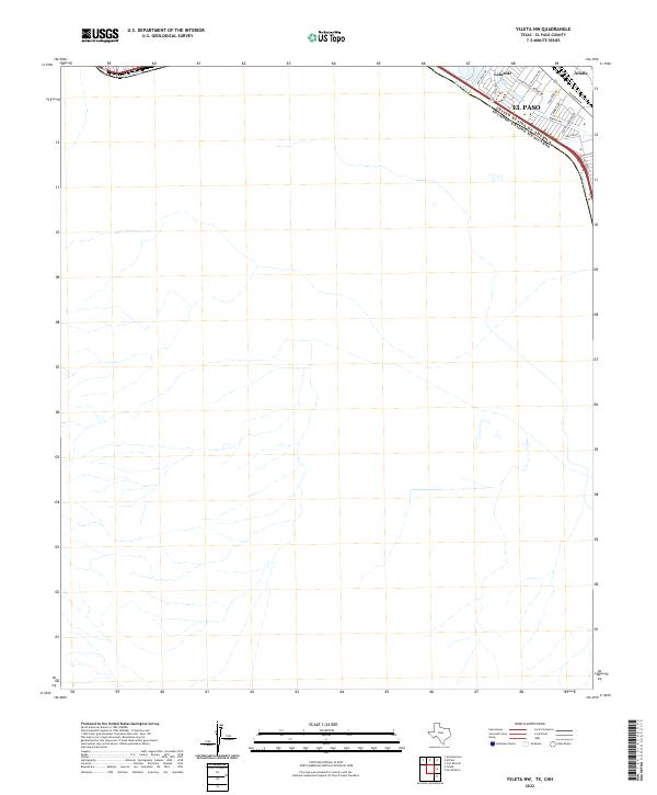
Fort Bliss dominates the northern half of this landscape, characterized by the expansive facilities of Biggs Army Airfield and a complex network of military thoroughfares like Old Ironsides Ave and Constitution Ave. The southern portion of the map reveals the dense residential and commercial expansion of eastern El Paso, where modern subdivisions meet the wide corridors of the Liberty Expressway and Joe Battle Blvd.
Find a feature on this map
25 named features on this map. Tap any name to fly to it.
Don’t see what you’re looking for? This feature index may not catch every label — zoom into the map to look around manually.
Map Details
Editions of this 2022 Fort Bliss SE Map
This is the sole edition of this map. No revisions or reprints were ever made.
Historical Maps of El Paso Through Time
51 maps found
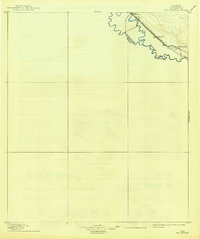
1896 Rio Grande
El Paso County, TX

1939 Heuco Tanks
El Paso County, TX

1940 Heuco Tanks
El Paso County, TX

1944 Heuco Tanks
El Paso County, TX
1948 Fort Bliss NE
El Paso County, TX

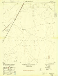
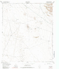
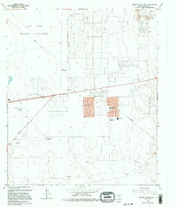
1948 Fort Bliss SE
El Paso County, TX
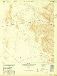
1948 Helms West Well
El Paso County, TX
1948 Heuco Tanks
El Paso County, TX
1955 Clint NE
El Paso County, TX
1955 Clint NW
El Paso County, TX
1955 Clint SE
El Paso County, TX
1955 Fort Bliss NE
El Paso County, TX
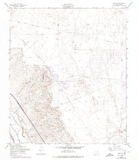
1955 Fort Bliss SE
El Paso County, TX
1955 Helms West Well
El Paso County, TX
1955 Heuco Tanks
El Paso County, TX
1955 Nations East Well
El Paso County, TX
1955 Nations South Well
El Paso County, TX
1955 North Franklin Mountain
El Paso County, TX
1955 Smeltertown
El Paso County, TX
1955 Ysleta
El Paso County, TX
1955 Ysleta NW
El Paso County, TX
1972 Isla
El Paso County, TX
1990 Ysleta NW
El Paso County, TX
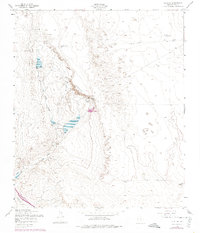
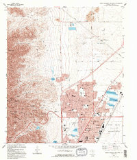
1994 Fort Bliss SE
El Paso County, TX

1994 Smeltertown
El Paso County, TX

1994 Ysleta
El Paso County, TX
1994 Ysleta NW
El Paso County, TX
1995 Clint NE
El Paso County, TX

1995 Clint NW
El Paso County, TX
1995 Clint SE
El Paso County, TX
1995 Fort Bliss NE
El Paso County, TX
1995 Helms West Well
El Paso County, TX
1995 Hueco Tanks
El Paso County, TX
1995 Nations East Well
El Paso County, TX
1995 Nations South Well
El Paso County, TX
1995 North Franklin Mountain
El Paso County, TX

1996 Smeltertown
El Paso County, TX

2022 Clint NE
El Paso County, TX

2022 Clint NW
El Paso County, TX
2022 Clint SE
El Paso County, TX
2022 Fort Bliss NE
El Paso County, TX
2022 Fort Bliss SE
El Paso County, TX
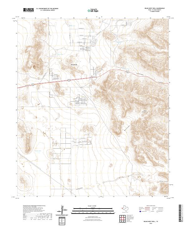
2022 Helms West Well
El Paso County, TX
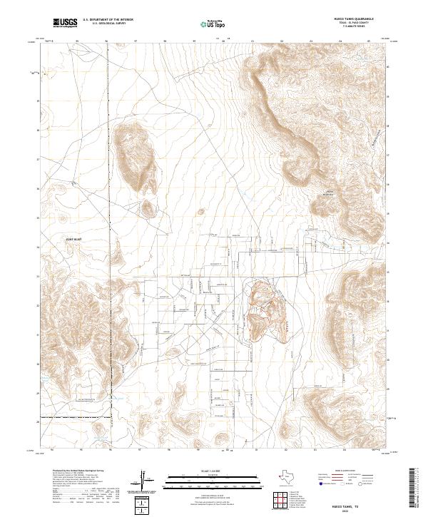
2022 Hueco Tanks
El Paso County, TX
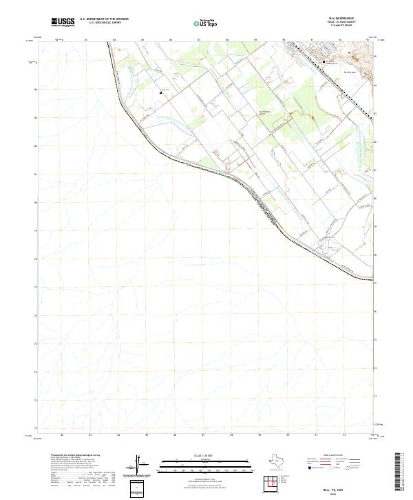
2022 Isla
El Paso County, TX
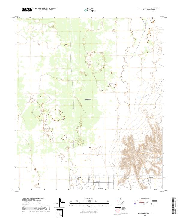
2022 Nations East Well
El Paso County, TX
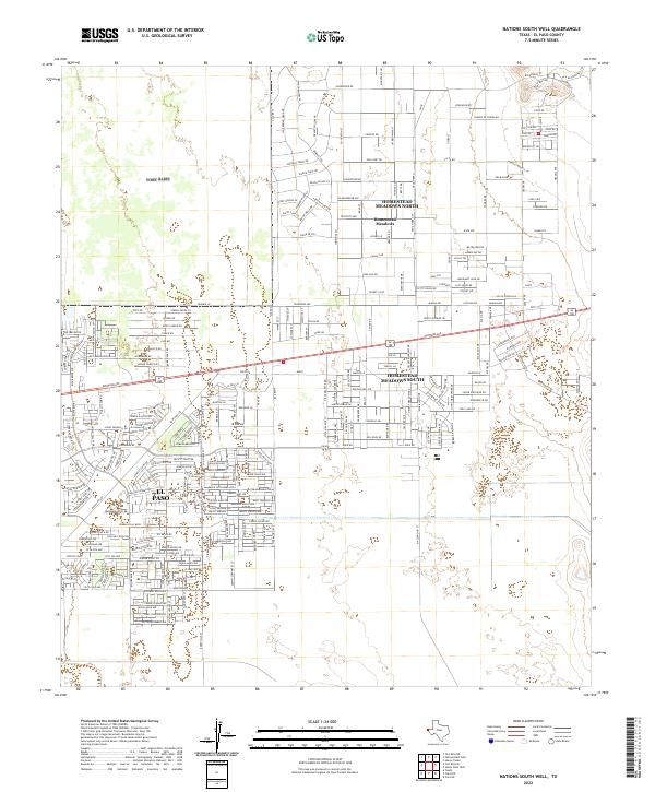
2022 Nations South Well
El Paso County, TX
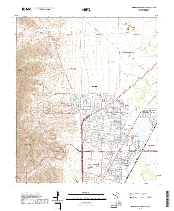
2022 North Franklin Mountain
El Paso County, TX
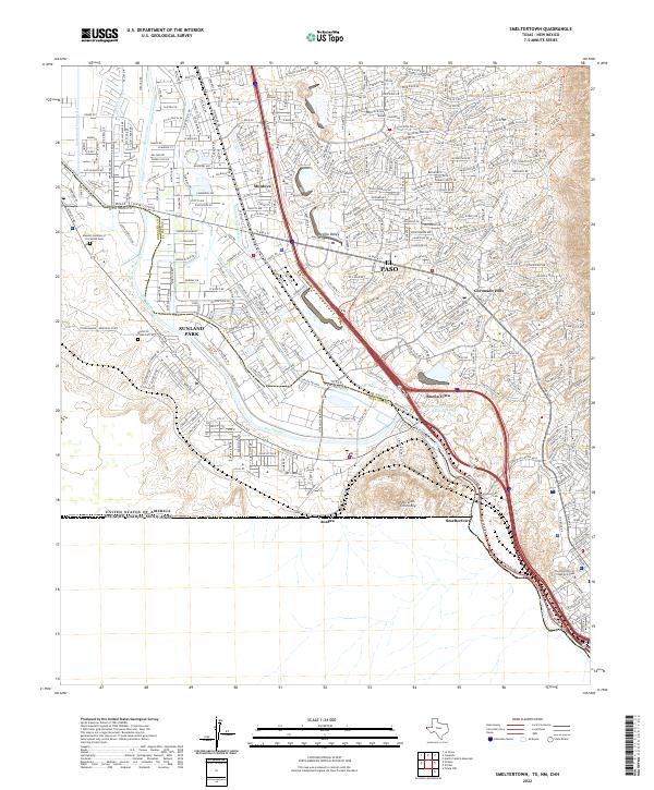
2022 Smeltertown
El Paso County, TX
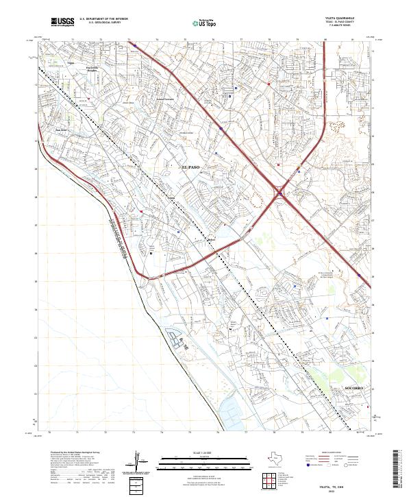
2022 Ysleta
El Paso County, TX
2022 Ysleta NW
El Paso County, TX
Featured Locations
- El Paso, TX
- Turf Estates Number 1 Colonia, TX
- Del Norte Heights, El Paso
- Las Palmas Colonia, El Paso
- Las Palmas Number 2 Colonia, El Paso