
2023 Map of Holland
USGS Topo · Published 2023About this map
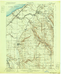
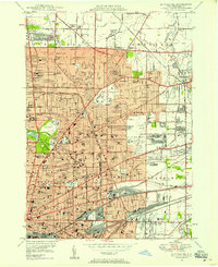
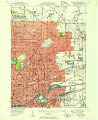
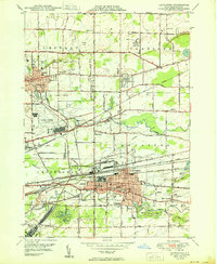
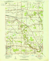
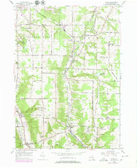
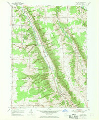
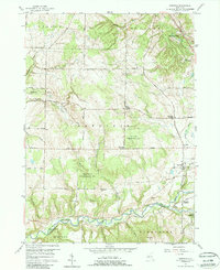
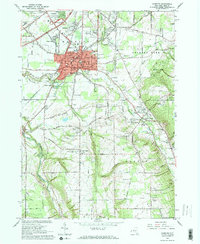
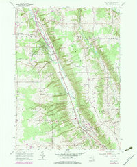
The East Branch Cazenovia Creek valley carves a distinct path through this Erie County landscape, guiding the route of Olean Rd and the Aurora Expy. This modern topographic survey reveals a series of historic rural hamlets and family-named landmarks including Blakeley, South Wales, and Holland. The settlement pattern is deeply connected to the local topography, with roads like Vermont Hill Club Rd climbing toward high points such as Crow Hill. Genealogists will find an exceptional concentration of burial grounds preserved across the townships, from the Saint Joseph Cem near the southern village to more secluded sites like the Neischel Cem and Goodleberg Cem. The map illustrates a landscape of ridges and gulfs, such as Cherrywood Ridge and Geiers Gulf, where old farm lanes and county roads bridge the gaps between the creek branches and upland cemeteries.
Find a feature on this map
68 named features on this map. Tap any name to fly to it.
Don’t see what you’re looking for? This feature index may not catch every label — zoom into the map to look around manually.
Map Details
Editions of this 2023 Holland Map
This is the sole edition of this map. No revisions or reprints were ever made.
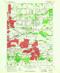
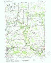
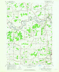
Historical Maps of Aurora Through Time
50 maps found

1905 Eden
Erie County, NY
1907 Eden
Erie County, NY

1944 Eden
Erie County, NY
1944 Hamburg
Erie County, NY
1944 Langford
Erie County, NY
1944 North Collins
Erie County, NY
1948 Buffalo NE
Erie County, NY
1948 Buffalo SE
Erie County, NY
1948 Hamburg
Erie County, NY
1949 Eden
Erie County, NY
1950 Buffalo NE
Erie County, NY
1950 Buffalo NW
Erie County, NY
1950 Buffalo SE
Erie County, NY
1950 Clarence
Erie County, NY
1950 Lancaster
Erie County, NY
1950 Orchard Park
Erie County, NY

1950 Wolcottsville
Erie County, NY
1955 Colden
Erie County, NY
1955 Holland
Erie County, NY
1957 Sardinia
Erie County, NY
1960 Langford
Erie County, NY
1960 North Collins
Erie County, NY
1965 Buffalo NE
Erie County, NY
1965 Buffalo NW
Erie County, NY
1965 Buffalo SE
Erie County, NY
1965 Clarence
Erie County, NY
1965 Eden
Erie County, NY
1965 Hamburg
Erie County, NY
1965 Lancaster
Erie County, NY
1965 Orchard Park
Erie County, NY
1965 Wolcottsville
Erie County, NY
1979 Holland
Erie County, NY
1980 Wolcottsville
Erie County, NY
1982 Lancaster
Erie County, NY

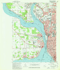
2023 Buffalo NE
Erie County, NY

2023 Buffalo NW
Erie County, NY
2023 Buffalo NW OE W
Erie County, NY

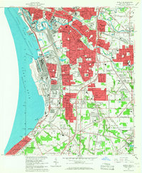
2023 Buffalo SE
Erie County, NY
2023 Buffalo SE OE W
Erie County, NY

2023 Clarence
Erie County, NY

2023 Colden
Erie County, NY

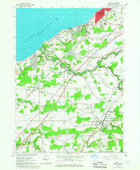
2023 Eden
Erie County, NY

2023 Hamburg
Erie County, NY
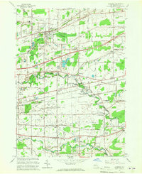
2023 Holland
Erie County, NY

2023 Lancaster
Erie County, NY

2023 Langford
Erie County, NY

2023 North Collins
Erie County, NY

2023 Orchard Park
Erie County, NY

2023 Sardinia
Erie County, NY

2023 Wolcottsville
Erie County, NY