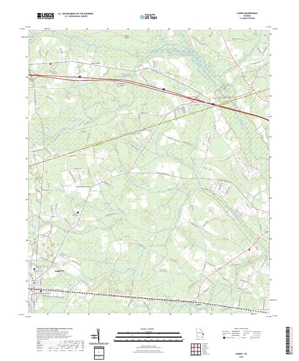
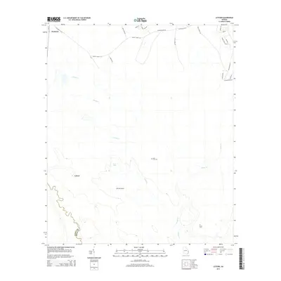
2024 Map of Lanier
USGS Topo · Published 2024About this map
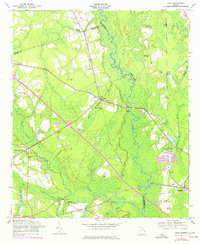
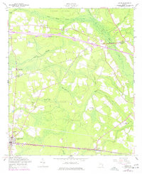
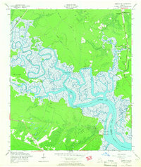
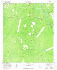
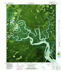
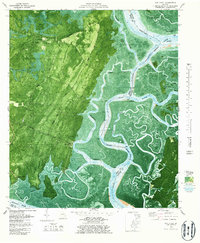
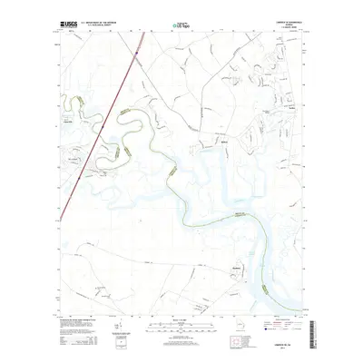
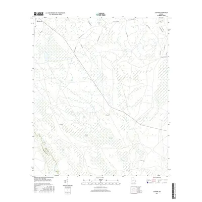
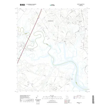
The Bryan County Courthouse anchors the southern portion of this Georgia landscape, serving as a focal point for the city of Pembroke. This 2024 map illustrates the low-lying terrain of the coastal plain, where the drainage of Mill Creek and Black Creek creates a complex network of wetlands and bays. Features like Moonshine Island, Jennett Island, and Cooks Island emerge within the swampy tracts of the northern reaches, while the small settlement of Lanier sits further east along the highway. For researchers and local historians, the map provides precise locations for burial grounds such as Stevens Grove Cem and Northside Cem. The boundary between Bulloch Co and Bryan Co meanders through these northern woodlands, showing the intersection of civic geography and the natural watercourses like Ash Branch and Boggy Branch.
Find a feature on this map
128 named features on this map. Tap any name to fly to it.
Don’t see what you’re looking for? This feature index may not catch every label — zoom into the map to look around manually.
Map Details
Editions of this 2024 Lanier Map
This is the sole edition of this map. No revisions or reprints were ever made.
Historical Maps of Pembroke Through Time
41 maps found

1920 Meldrim
Bryan County, GA
1942 Meldrim
Bryan County, GA
1950 Meldrim
Bryan County, GA
1957 Oak Level
Bryan County, GA
1958 Eden
Bryan County, GA
1958 Lanier
Bryan County, GA
1958 Letford
Bryan County, GA
1958 Limerick SE
Bryan County, GA
1958 Meldrim SW
Bryan County, GA
1979 Limerick SE
Bryan County, GA
1979 Oak Level
Bryan County, GA

2011 Eden
Bryan County, GA
2011 Lanier
Bryan County, GA
2011 Letford
Bryan County, GA

2011 Limerick SE
Bryan County, GA
2011 Meldrim SW
Bryan County, GA
2011 Oak Level
Bryan County, GA
2014 Eden
Bryan County, GA

2014 Lanier
Bryan County, GA
2014 Letford
Bryan County, GA
2014 Limerick SE
Bryan County, GA
2014 Meldrim SW
Bryan County, GA

2014 Oak Level
Bryan County, GA

2017 Eden
Bryan County, GA
2017 Lanier
Bryan County, GA
2017 Letford
Bryan County, GA

2017 Limerick SE
Bryan County, GA
2017 Meldrim SW
Bryan County, GA
2017 Oak Level
Bryan County, GA
2020 Eden
Bryan County, GA

2020 Lanier
Bryan County, GA
2020 Letford
Bryan County, GA
2020 Limerick SE
Bryan County, GA
2020 Meldrim SW
Bryan County, GA

2020 Oak Level
Bryan County, GA
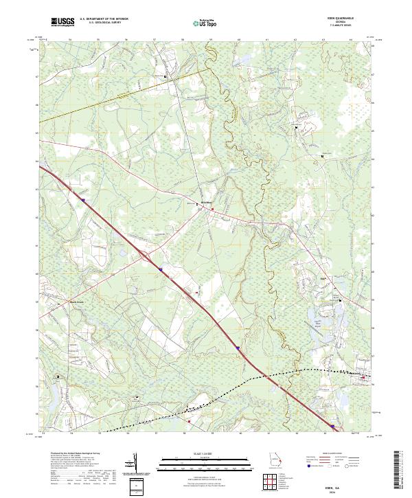
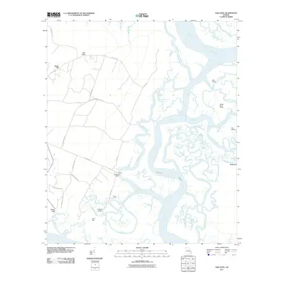
2024 Eden
Bryan County, GA
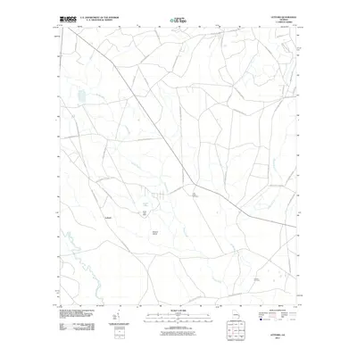
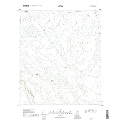
2024 Lanier
Bryan County, GA
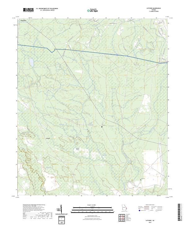
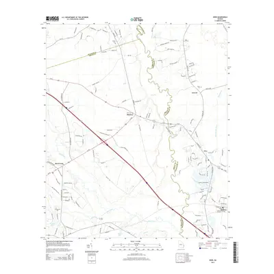
2024 Letford
Bryan County, GA
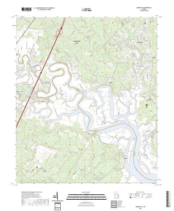
2024 Limerick SE
Bryan County, GA
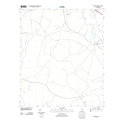
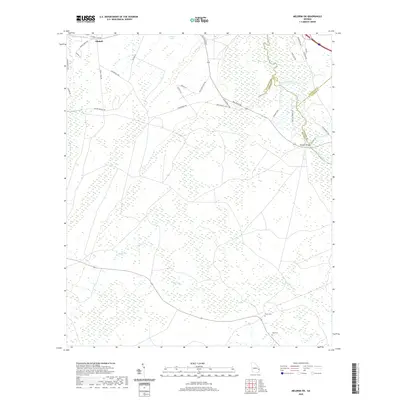
2024 Meldrim SW
Bryan County, GA
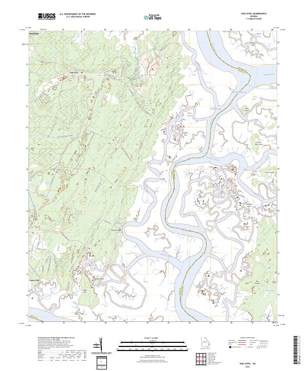
2024 Oak Level
Bryan County, GA