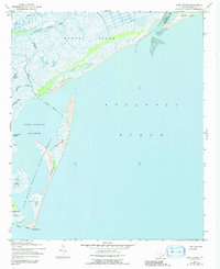
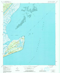
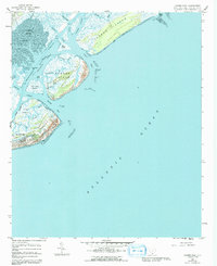
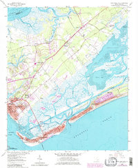
2024 Map of Legareville
USGS Topo · Published 2024About this map
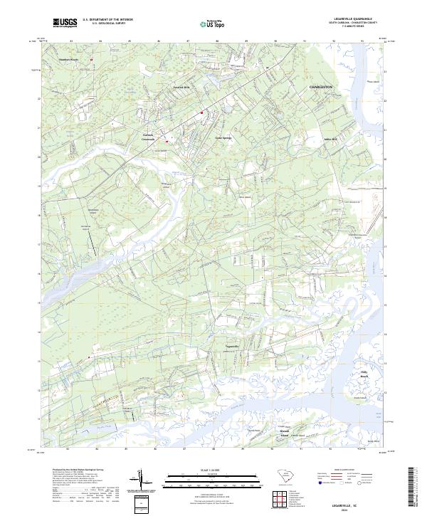
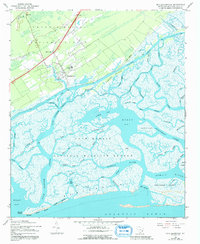
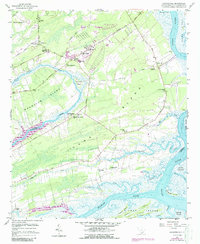
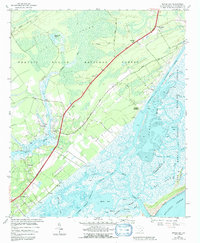
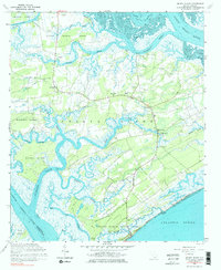
Legareville and the surrounding island communities of Johns Island and Wadmalaw Island are captured in this recent mapping of Charleston County’s maritime landscape. The topography is defined by the intricate network of the Stono River, Kiawah River, and numerous tidal creeks such as Bohicket Creek and Abbapoola Creek. This environment supports a mix of established residential clusters like Fenwick Hills and Cedar Springs alongside significant preserved areas, including the Farm Service Agency Interest of South Carolina. Notable landmarks like the Charleston Executive Airport and the smaller Hondarosa Airport indicate the modern infrastructure integrated into this low-lying coastal terrain. Smaller localities like Fenwick Crossroads and Miller Hill provide specific points of interest for those studying the contemporary settlement patterns of the South Carolina coast, while features such as Bloody Dick Swamp and Isinglass Swamp reflect the persistent natural character of the marshes.
Find a feature on this map
171 named features on this map. Tap any name to fly to it.
Don’t see what you’re looking for? This feature index may not catch every label — zoom into the map to look around manually.
Map Details
Editions of this 2024 Legareville Map
This is the sole edition of this map. No revisions or reprints were ever made.
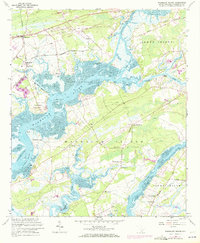
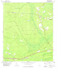
Historical Maps of Johns Island Through Time
45 maps found
1919 Bulls Island
Charleston County, SC

1919 Capers Island
Charleston County, SC
1919 Edisto Island
Charleston County, SC
1919 Fort Moultrie
Charleston County, SC

1919 Johns Island
Charleston County, SC

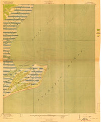
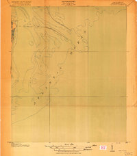
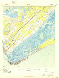
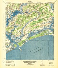
1919 Legareville
Charleston County, SC

1919 Sewee Bay
Charleston County, SC
1919 The Jetties
Charleston County, SC
1919 Wadmalaw Island
Charleston County, SC
1920 Ravenels
Charleston County, SC
1942 Cape Romain
Charleston County, SC
1942 Mc Clellanville
Charleston County, SC

1943 Bulls Island
Charleston County, SC

1943 Capers Island
Charleston County, SC

1943 Edisto Island
Charleston County, SC
1943 Fort Moultrie
Charleston County, SC
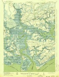
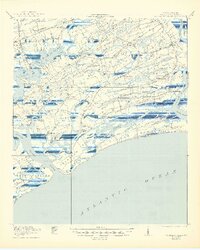
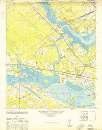
1943 Legareville
Charleston County, SC
1943 Santee
Charleston County, SC

1943 Sewee Bay
Charleston County, SC

1944 Ravenels
Charleston County, SC
1944 Wadmelaw Island
Charleston County, SC
1948 Johns Island
Charleston County, SC
1958 Johns Island
Charleston County, SC
1959 Bull Island
Charleston County, SC
1959 Capers Inlet
Charleston County, SC
1959 Fort Moultrie
Charleston County, SC
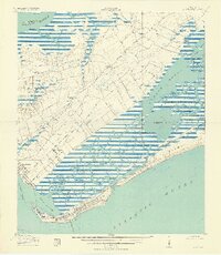
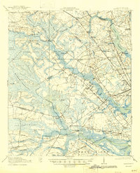
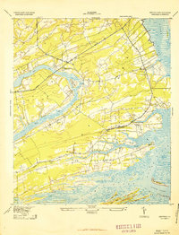
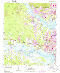
1959 Legareville
Charleston County, SC
1959 Sewee Bay
Charleston County, SC
1960 Edisto Island
Charleston County, SC
1960 Wadmalaw Island
Charleston County, SC
1979 Osborn
Charleston County, SC
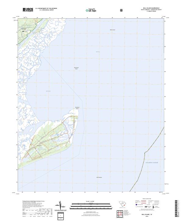
2024 Bull Island
Charleston County, SC
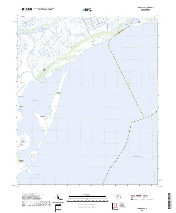
2024 Cape Romain
Charleston County, SC
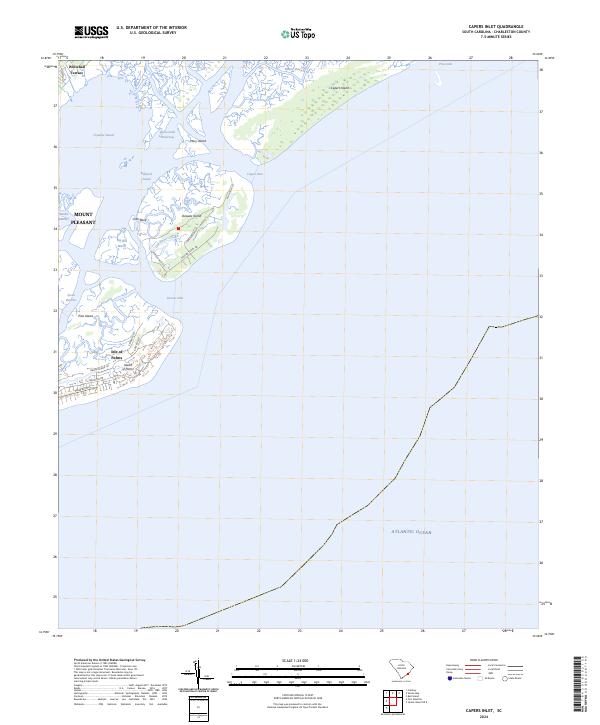
2024 Capers Inlet
Charleston County, SC
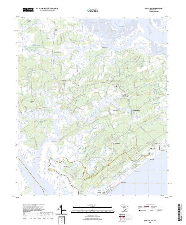
2024 Edisto Island
Charleston County, SC
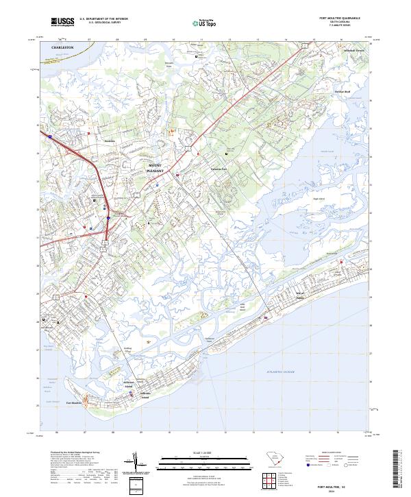
2024 Fort Moultrie
Charleston County, SC
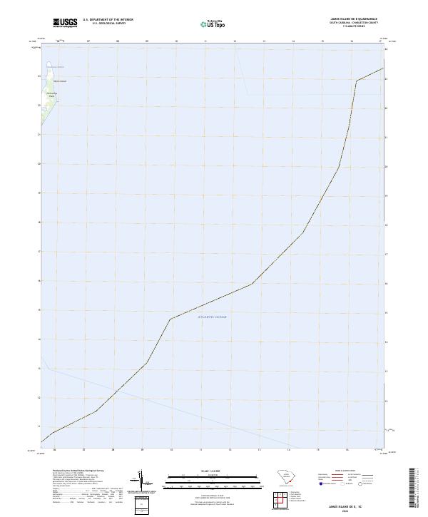
2024 James Island OE E
Charleston County, SC
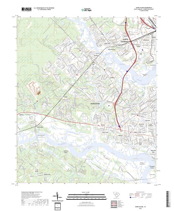
2024 Johns Island
Charleston County, SC
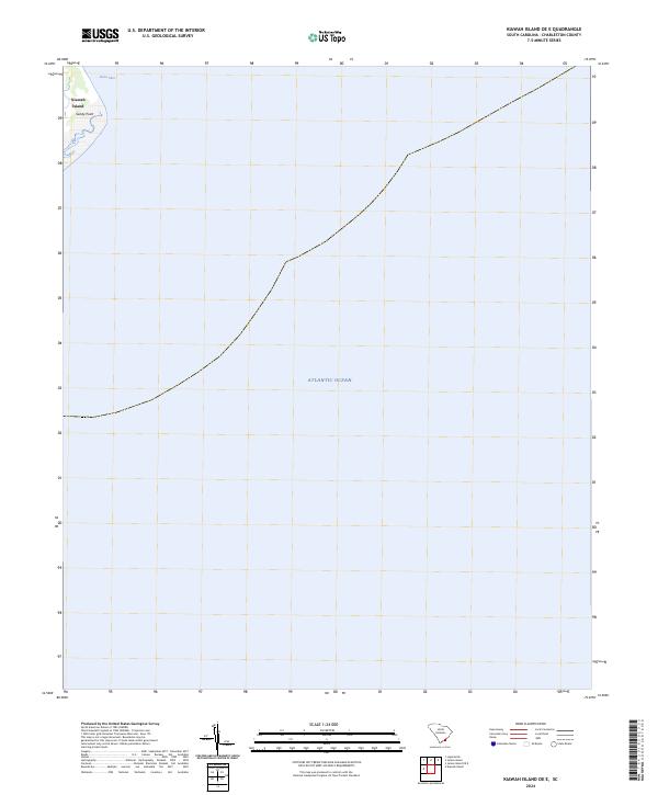
2024 Kiawah Island OE E
Charleston County, SC
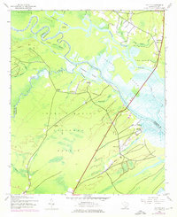
2024 Legareville
Charleston County, SC
2024 McClellanville OE S
Charleston County, SC
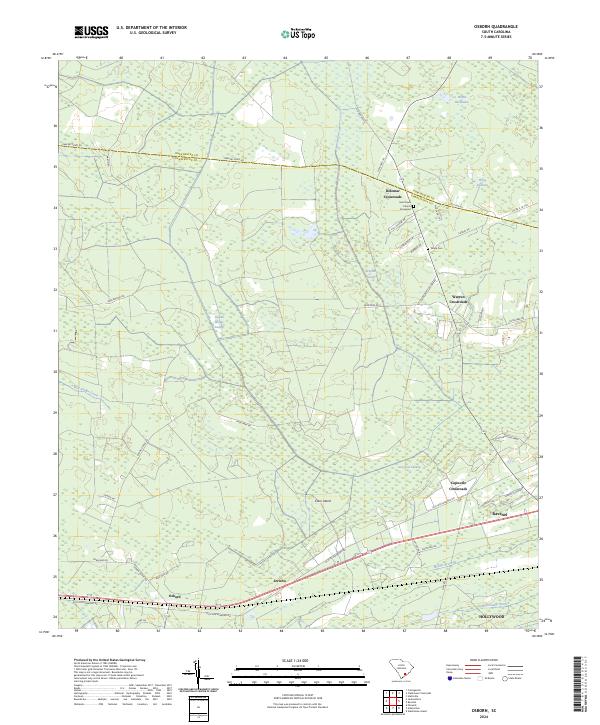
2024 Osborn
Charleston County, SC
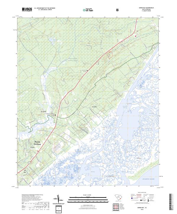
2024 Sewee Bay
Charleston County, SC
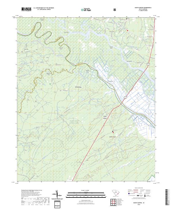
2024 South Santee
Charleston County, SC
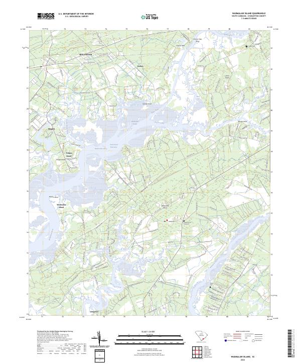
2024 Wadmalaw Island
Charleston County, SC