2024 Map of New Harbor
USGS Topo · Published 2024About this map
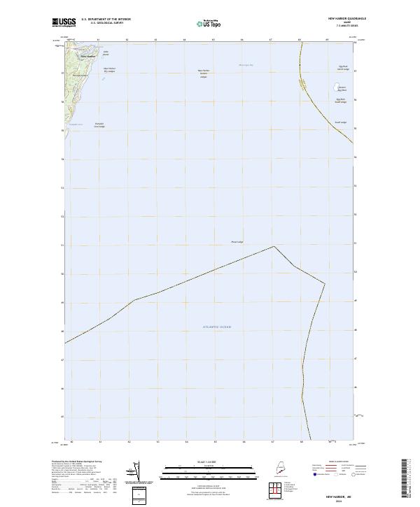
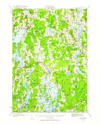
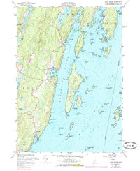
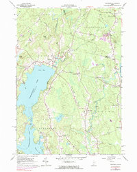
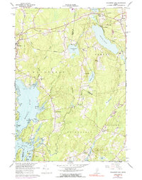
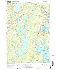
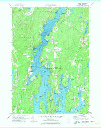
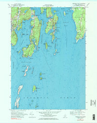
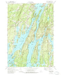
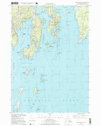
New Harbor serves as the focal point of this coastal survey, situated on the eastern side of Pemaquid Neck. The map illustrates the complex maritime geography of Muscongus Bay, where numerous hazards like New Harbor Sunken Ledges and Moser Ledge dot the waters leading out to the Atlantic Ocean. Along the shoreline, local roads such as Old Mill Rd and McFarland Shore Rd provide access to residential pockets near Back Cove and Pumpkin Cove. The presence of Eastern Egg Rock and various ledges like Egg Rock North Ledge demonstrates the navigational challenges typical of the Lincoln County coast, marking a landscape defined by its intimate relationship with the sea.
Find a feature on this map
20 named features on this map. Tap any name to fly to it.
Don’t see what you’re looking for? This feature index may not catch every label — zoom into the map to look around manually.
Map Details
Editions of this 2024 New Harbor Map
This is the sole edition of this map. No revisions or reprints were ever made.
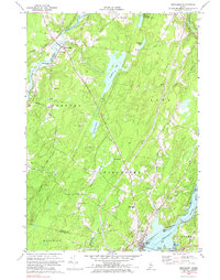
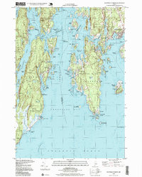
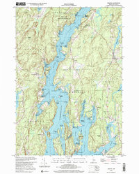
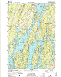
Historical Maps of Monhegan Island Plantation Through Time
44 maps found
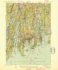
1893 Boothbay
Lincoln County, ME
1893 Wiscasset
Lincoln County, ME

1904 Monhegan
Lincoln County, ME
1906 Monhegan
Lincoln County, ME
1913 Waldoboro
Lincoln County, ME
1915 Waldoboro
Lincoln County, ME

1941 Boothbay
Lincoln County, ME

1941 Waldoboro
Lincoln County, ME

1943 Boothbay
Lincoln County, ME
1944 Boothbay
Lincoln County, ME
1944 Wiscasset
Lincoln County, ME

1950 Waldoboro
Lincoln County, ME
1955 Louds Island
Lincoln County, ME
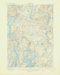
1955 New Harbor
Lincoln County, ME
1957 Boothbay
Lincoln County, ME
1957 Wiscasset
Lincoln County, ME
1965 Jefferson
Lincoln County, ME
1965 Waldoboro East
Lincoln County, ME
1965 Waldoboro West
Lincoln County, ME
1969 Bristol
Lincoln County, ME
1969 Pemaquid Point
Lincoln County, ME
1970 Boothbay Harbor
Lincoln County, ME
1970 Damariscotta
Lincoln County, ME
1970 North Whitefied
Lincoln County, ME
1970 Westport
Lincoln County, ME
1970 Wiscasset
Lincoln County, ME
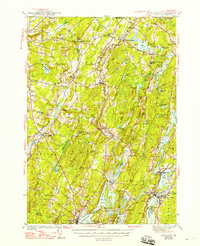
1973 New Harbor
Lincoln County, ME
1997 Boothbay Harbor
Lincoln County, ME
1997 Pemaquid Point
Lincoln County, ME
2000 Bristol
Lincoln County, ME

2000 Damariscotta
Lincoln County, ME
2000 Westport
Lincoln County, ME
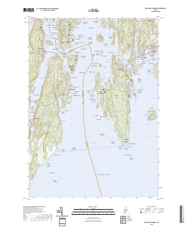
2024 Boothbay Harbor
Lincoln County, ME
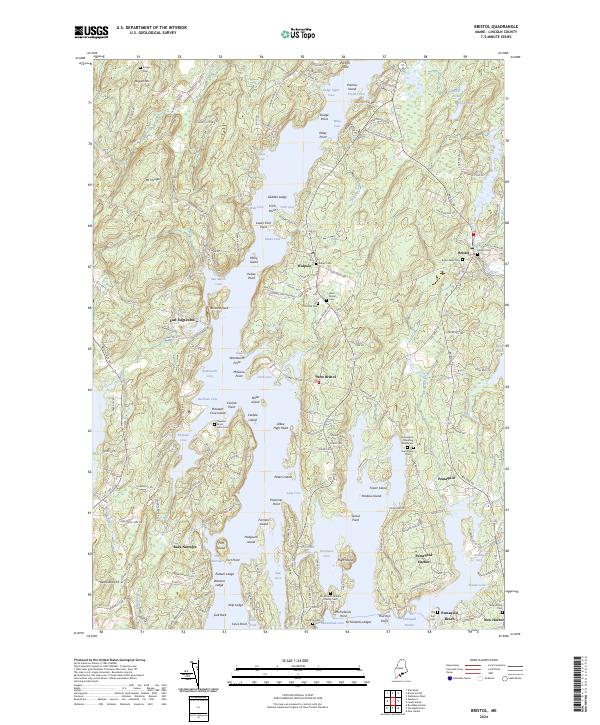
2024 Bristol
Lincoln County, ME
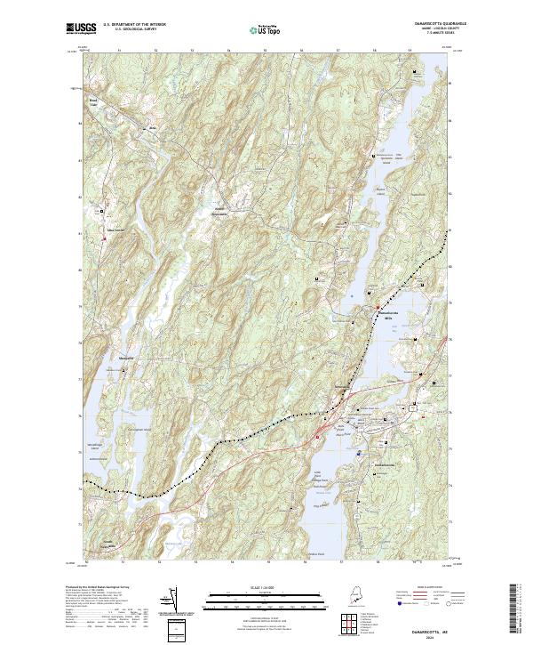
2024 Damariscotta
Lincoln County, ME
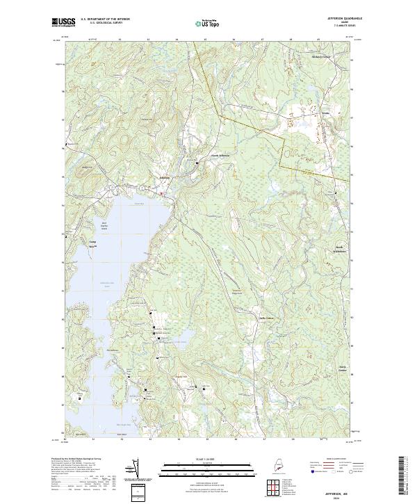
2024 Jefferson
Lincoln County, ME
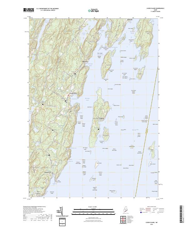
2024 Louds Island
Lincoln County, ME
2024 New Harbor
Lincoln County, ME
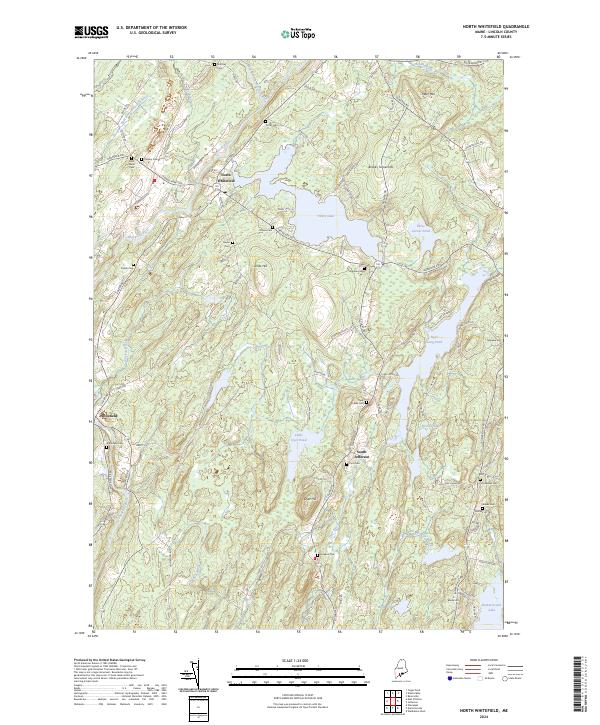
2024 North Whitefield
Lincoln County, ME
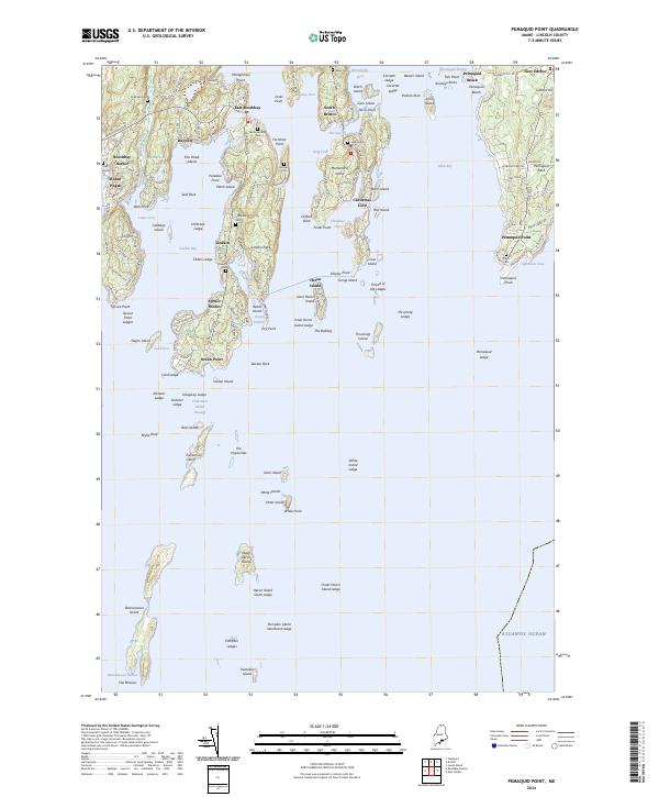
2024 Pemaquid Point
Lincoln County, ME
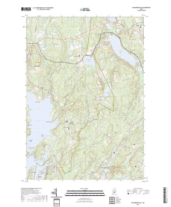
2024 Waldoboro East
Lincoln County, ME
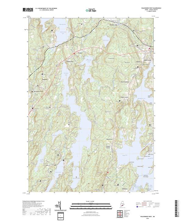
2024 Waldoboro West
Lincoln County, ME
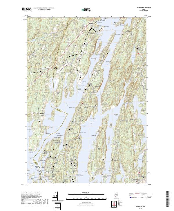
2024 Westport
Lincoln County, ME
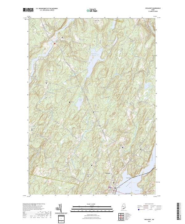
2024 Wiscasset
Lincoln County, ME