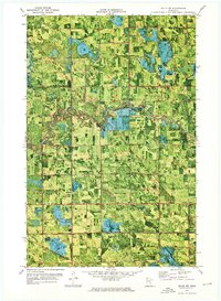
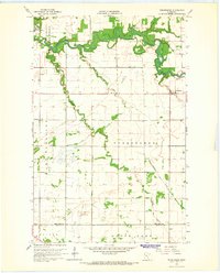
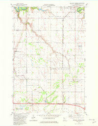
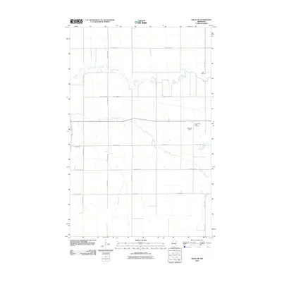
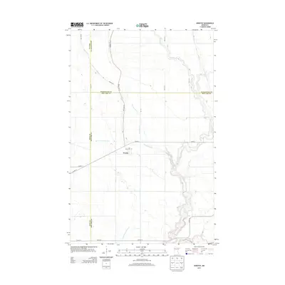
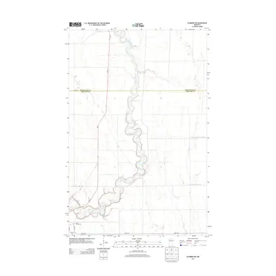
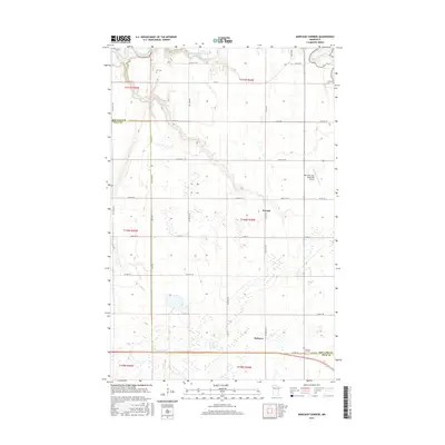
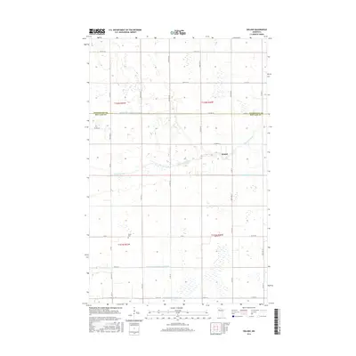
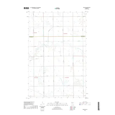
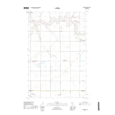
1972 Map of Oklee NW
USGS Topo · Published 1976About this map
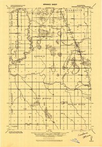
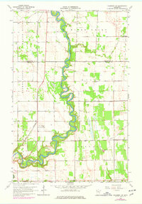
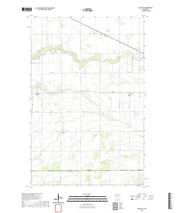
The Clearwater River meanders across this landscape on the border of Pennington and Red Lake counties, its oxbows and wetlands captured in this orthophotomap through a blend of aerial imagery and traditional surveying. The terrain is defined by a dense network of drainage projects including Judicial Ditch No 41 and Judicial Ditch No 57, which shaped the agricultural development of townships like Wyandotte and Mayfield. An Indian Reservation Boundary cuts through the central portion of the map, marking a significant historical jurisdictional line near the river.
Find a feature on this map
22 named features on this map. Tap any name to fly to it.
Don’t see what you’re looking for? This feature index may not catch every label — zoom into the map to look around manually.
Map Details
Editions of this 1972 Oklee NW Map
This is the sole edition of this map. No revisions or reprints were ever made.
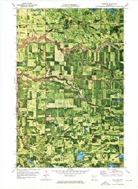
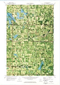
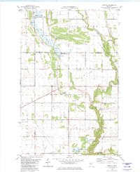
Historical Maps of Garnes Through Time
44 maps found
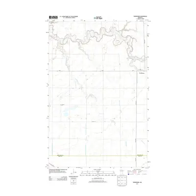
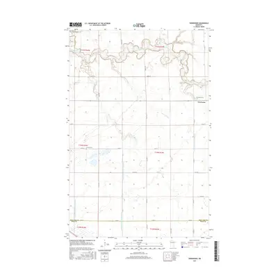
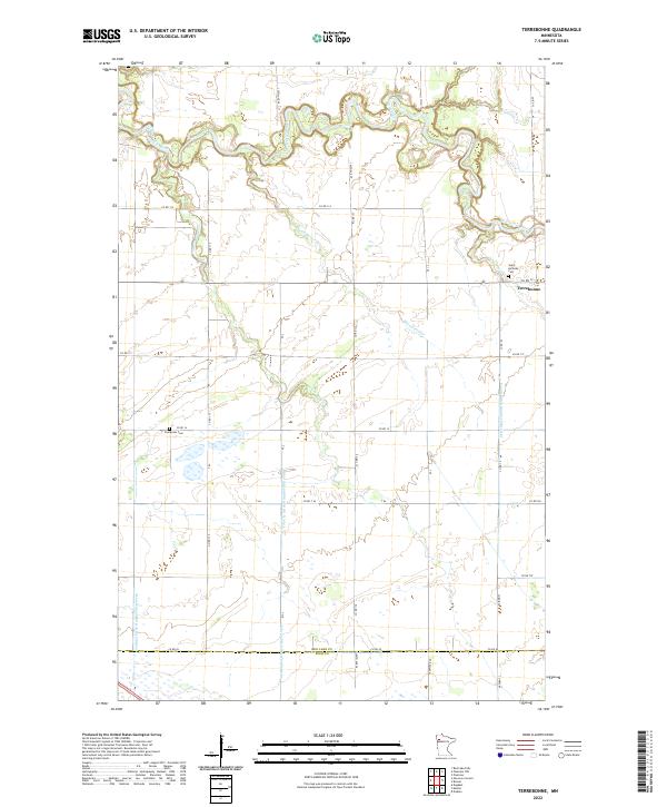
1918 Terrebonne
Red Lake County, MN
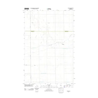
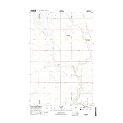
1919 Grit
Red Lake County, MN
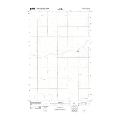
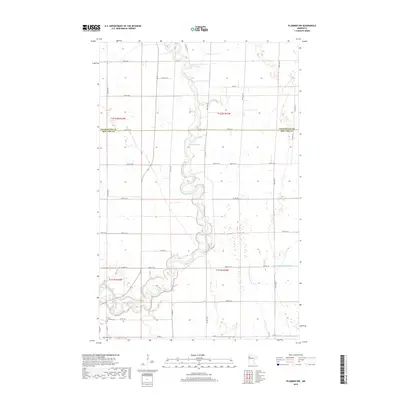
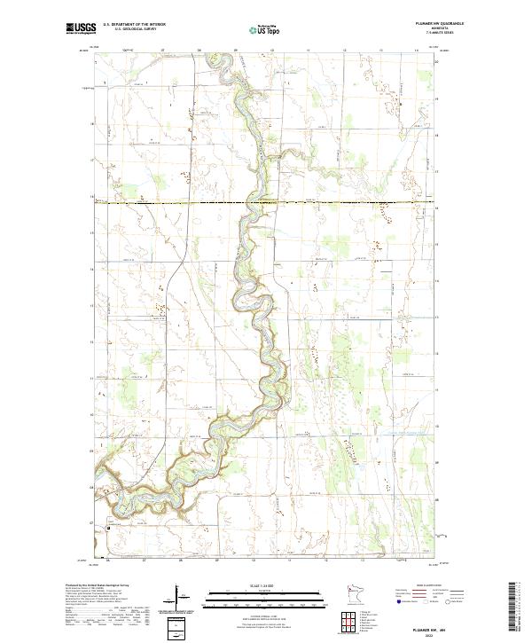
1964 Plummer NW
Red Lake County, MN
1964 Terrebonne
Red Lake County, MN
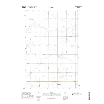
1971 Oklee SW
Red Lake County, MN
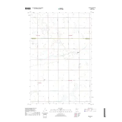
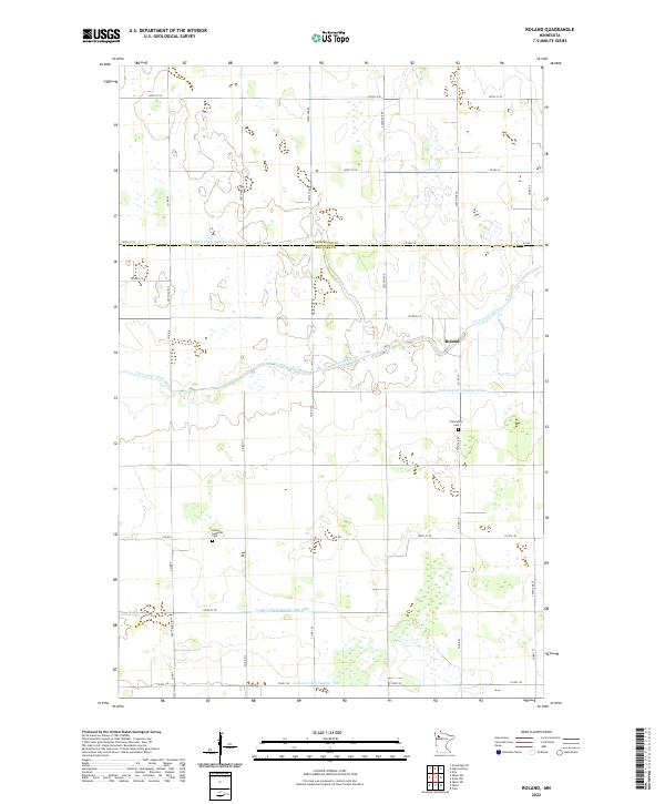
1971 Roland
Red Lake County, MN
1972 Oklee NW
Red Lake County, MN
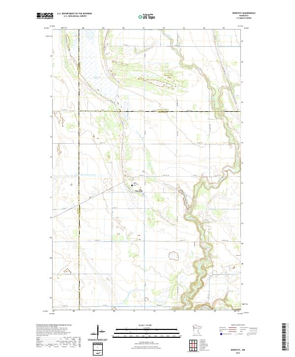
1982 Dorothy
Red Lake County, MN
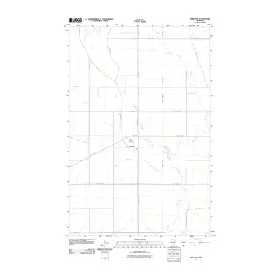
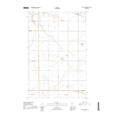
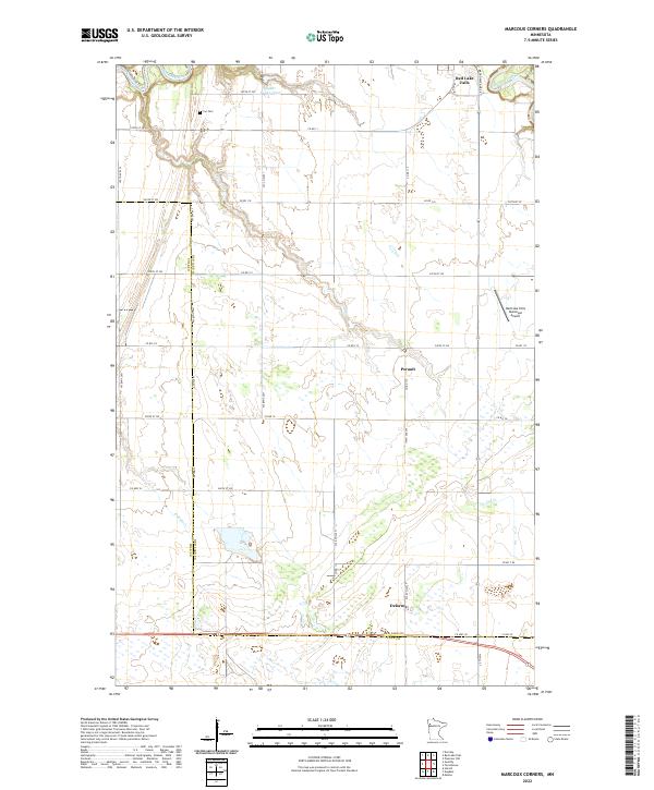
1982 Marcoux Corners
Red Lake County, MN
2010 Dorothy
Red Lake County, MN
2010 Marcoux Corners
Red Lake County, MN
2010 Oklee NW
Red Lake County, MN
2010 Oklee SW
Red Lake County, MN
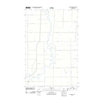
2010 Plummer NW
Red Lake County, MN
2010 Roland
Red Lake County, MN
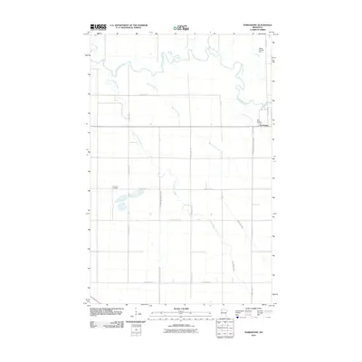
2010 Terrebonne
Red Lake County, MN
2013 Dorothy
Red Lake County, MN
2013 Marcoux Corners
Red Lake County, MN
2013 Oklee NW
Red Lake County, MN
2013 Oklee SW
Red Lake County, MN
2013 Plummer NW
Red Lake County, MN
2013 Roland
Red Lake County, MN
2013 Terrebonne
Red Lake County, MN
2016 Dorothy
Red Lake County, MN
2016 Marcoux Corners
Red Lake County, MN
2016 Oklee NW
Red Lake County, MN
2016 Oklee SW
Red Lake County, MN
2016 Plummer NW
Red Lake County, MN
2016 Roland
Red Lake County, MN
2016 Terrebonne
Red Lake County, MN
2019 Dorothy
Red Lake County, MN
2019 Marcoux Corners
Red Lake County, MN
2019 Oklee NW
Red Lake County, MN
2019 Oklee SW
Red Lake County, MN
2019 Plummer NW
Red Lake County, MN
2019 Roland
Red Lake County, MN
2019 Terrebonne
Red Lake County, MN
2022 Dorothy
Red Lake County, MN
2022 Marcoux Corners
Red Lake County, MN
2022 Oklee NW
Red Lake County, MN
2022 Oklee SW
Red Lake County, MN
2022 Plummer NW
Red Lake County, MN
2022 Roland
Red Lake County, MN
2022 Terrebonne
Red Lake County, MN