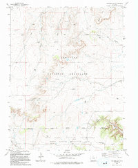
1993 Map of Packers Gap
USGS Topo · Published 1994About this map
Comanche National Grassland dominates this high-plains landscape, where the geography is defined by complex drainage systems and semi-arid terrain. The southern portion of the sheet is occupied by the Fort Carson Military Reservation (Pinon Canyon Maneuver Site), reflecting the region's late-twentieth-century role in large-scale military training. The map shows the Otero and Las Animas county line cutting through the reservation and grassland, marking a jurisdictional boundary in this sparsely populated area.
Find a feature on this map
17 named features on this map. Tap any name to fly to it.
Don’t see what you’re looking for? This feature index may not catch every label — zoom into the map to look around manually.
Map Details
Editions of this 1993 Packers Gap Map
This is the sole edition of this map. No revisions or reprints were ever made.
Other maps of this area

1891 · Timpas
USGS Topo · 1:125,000

1894 · Timpas
USGS Topo · 1:125,000

1955 · La Junta
USGS Topo · 1:250,000

1958 · La Junta
USGS Topo · 1:250,000

1965 · La Junta SW
USGS Topo · 1:24,000

1966 · La Junta SE
USGS Topo · 1:24,000

1968 · La Junta
USGS Topo · 1:250,000

1972 · Packers Gap
USGS Topo · 1:24,000
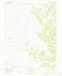
1972 · Stage Canyon
USGS Topo · 1:24,000
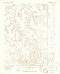
1972 · Beaty Canyon
USGS Topo · 1:24,000