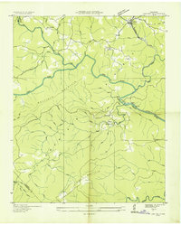
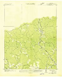
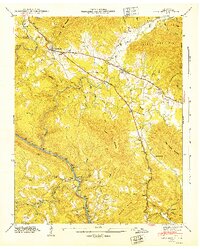
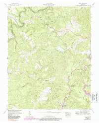
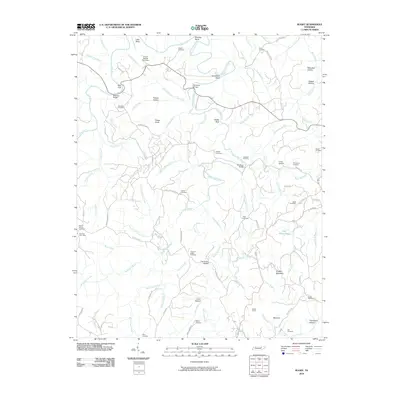
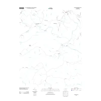
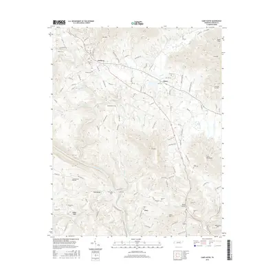
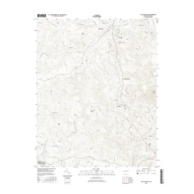
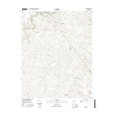
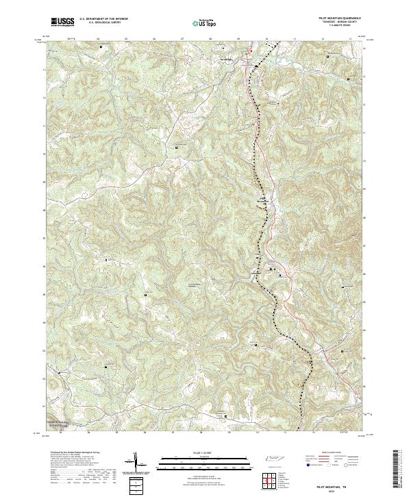
1952 Map of Pilot Mountain
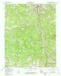
USGS Topo · Published 1973About this map
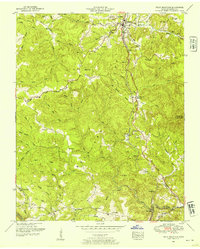
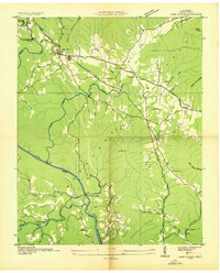
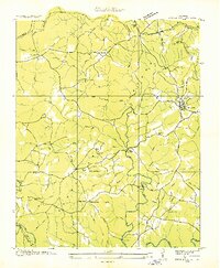
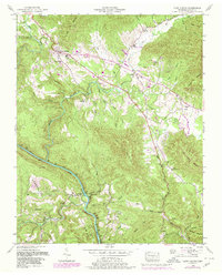
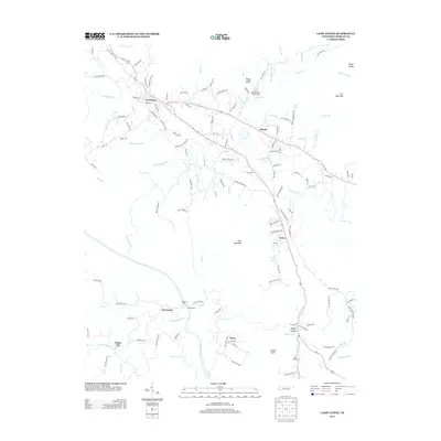
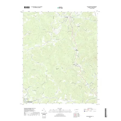
Sunbright serves as the primary hub of this landscape, situated along the Southern railroad line on the Cumberland Plateau. The 1952 fieldwork, later updated with 1967 revisions, details a region defined by its complex drainage network and the prominent Tennessee Valley Divide. This divide separates waters flowing toward the Emory River from the northward-running branches like Alice Creek and Camp Creek.
Find a feature on this map
48 named features on this map. Tap any name to fly to it.
Don’t see what you’re looking for? This feature index may not catch every label — zoom into the map to look around manually.
Map Details
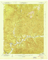
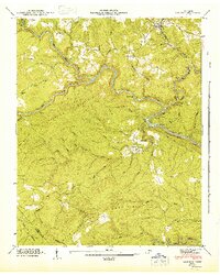
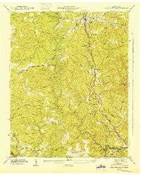
Editions of this 1952 Pilot Mountain Map
3 editions found
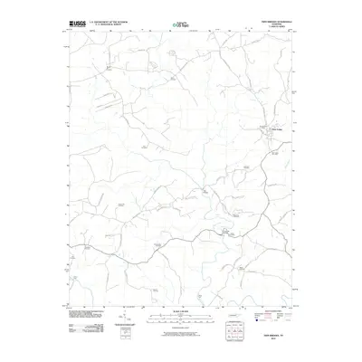
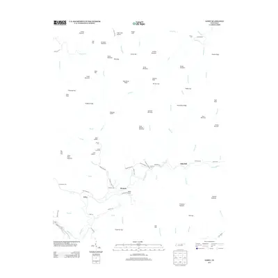
Historical Maps of Sunbright Through Time
47 maps found
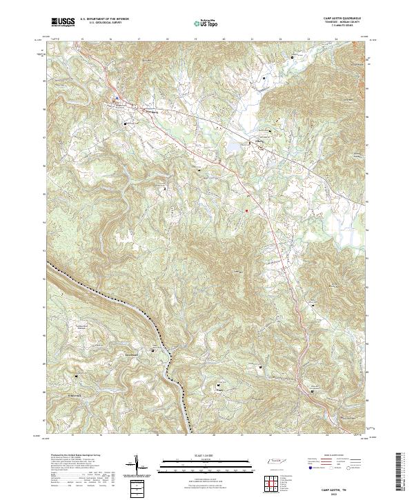
1935 Camp Austin
Morgan County, TN

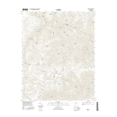
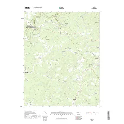
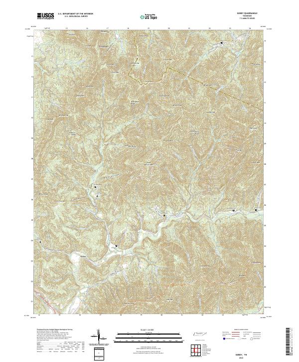
1935 Gobey
Morgan County, TN
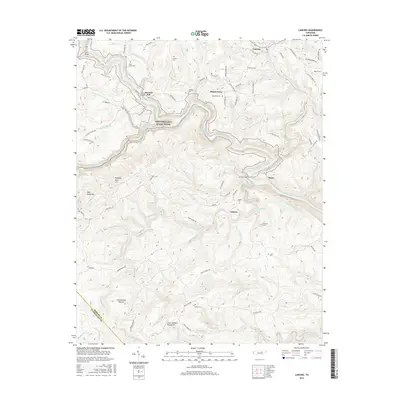
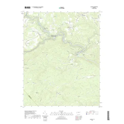
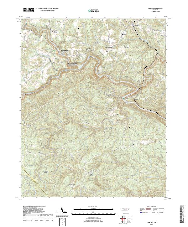
1935 Lancing
Morgan County, TN
1935 Pilot Mountain
Morgan County, TN
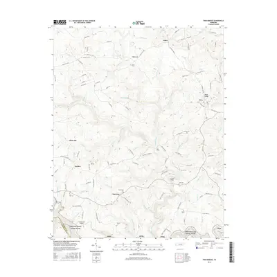
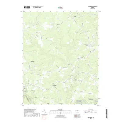
1936 Twin Bridges
Morgan County, TN
1943 Twin Bridges
Morgan County, TN
1945 Twin Bridges
Morgan County, TN
1946 Camp Austin
Morgan County, TN
1946 Gobey
Morgan County, TN
1946 Lancing
Morgan County, TN
1946 Pilot Mountain
Morgan County, TN
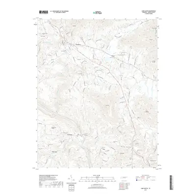
1952 Camp Austin
Morgan County, TN
1952 Gobey
Morgan County, TN
1952 Lancing
Morgan County, TN
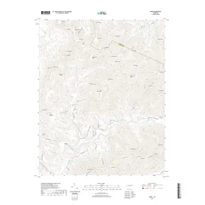
1952 Pilot Mountain
Morgan County, TN
1952 Rugby
Morgan County, TN

1979 Oakridge
Morgan County, TN

2010 Camp Austin
Morgan County, TN
2010 Gobey
Morgan County, TN
2010 Lancing
Morgan County, TN
2010 Pilot Mountain
Morgan County, TN
2010 Rugby
Morgan County, TN
2010 Twin Bridges
Morgan County, TN
2013 Camp Austin
Morgan County, TN
2013 Gobey
Morgan County, TN
2013 Lancing
Morgan County, TN
2013 Pilot Mountain
Morgan County, TN
2013 Rugby
Morgan County, TN
2013 Twin Bridges
Morgan County, TN
2016 Camp Austin
Morgan County, TN
2016 Gobey
Morgan County, TN
2016 Lancing
Morgan County, TN
2016 Pilot Mountain
Morgan County, TN
2016 Rugby
Morgan County, TN
2016 Twin Bridges
Morgan County, TN
2019 Camp Austin
Morgan County, TN
2019 Gobey
Morgan County, TN
2019 Lancing
Morgan County, TN
2019 Pilot Mountain
Morgan County, TN
2019 Rugby
Morgan County, TN
2019 Twin Bridges
Morgan County, TN
2022 Camp Austin
Morgan County, TN
2022 Gobey
Morgan County, TN
2022 Lancing
Morgan County, TN
2022 Pilot Mountain
Morgan County, TN
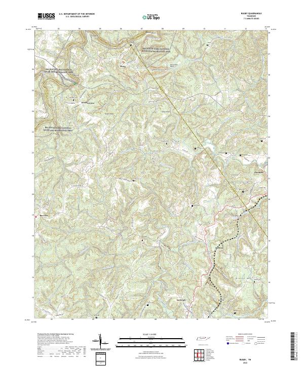
2022 Rugby
Morgan County, TN
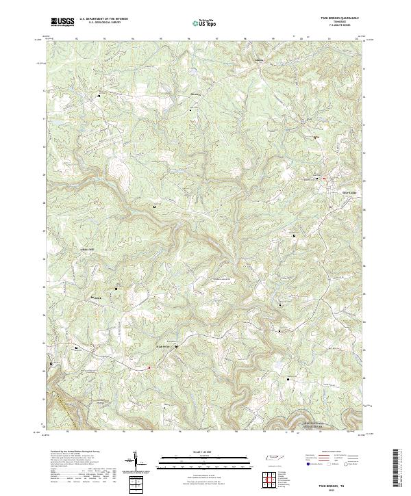
2022 Twin Bridges
Morgan County, TN