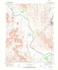
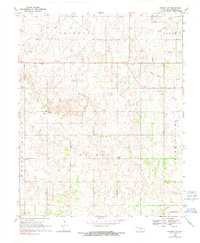
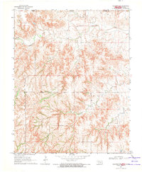
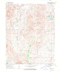
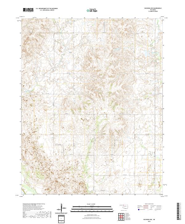
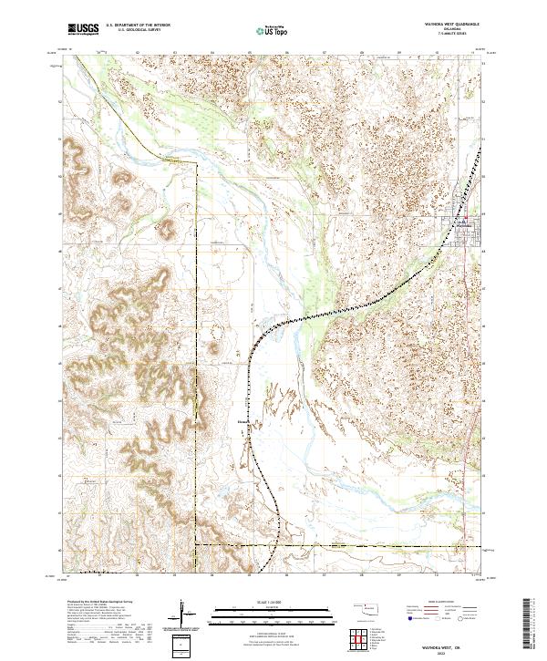
1969 Map of Waynoka West
USGS Topo · Published 1971This historical map portrays the area of Waynoka West in 1969, primarily covering Woods County as well as portions of Major County and Woodward County. Featuring a scale of 1:24000, this map provides a highly detailed snapshot of the terrain, roads, buildings, counties, and historical landmarks in the Waynoka West region at the time. Published in 1971, it is one of 2 known editions of this map due to revisions or reprints.
Find a feature on this map
20 named features on this map. Tap any name to fly to it.
Don’t see what you’re looking for? This feature index may not catch every label — zoom into the map to look around manually.
Map Details
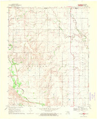
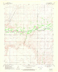
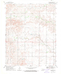
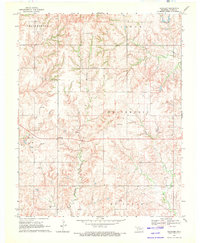
Editions of this 1969 Waynoka West Map
2 editions found
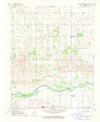
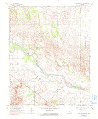
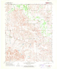
Historical Maps of Woods County Through Time
34 maps found
1969 Alva NW
Woods County, OK
1969 Alva SE
Woods County, OK
1969 Dacoma SE
Woods County, OK
1969 Dacoma SW
Woods County, OK
1969 Glass Mountains NE
Woods County, OK
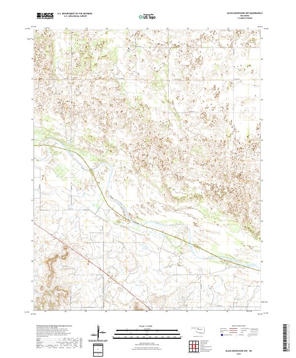
1969 Glass Mountains NW
Woods County, OK
1969 Tegarden NE
Woods County, OK
1969 Tegarden NW
Woods County, OK
1969 Tegarden SE
Woods County, OK
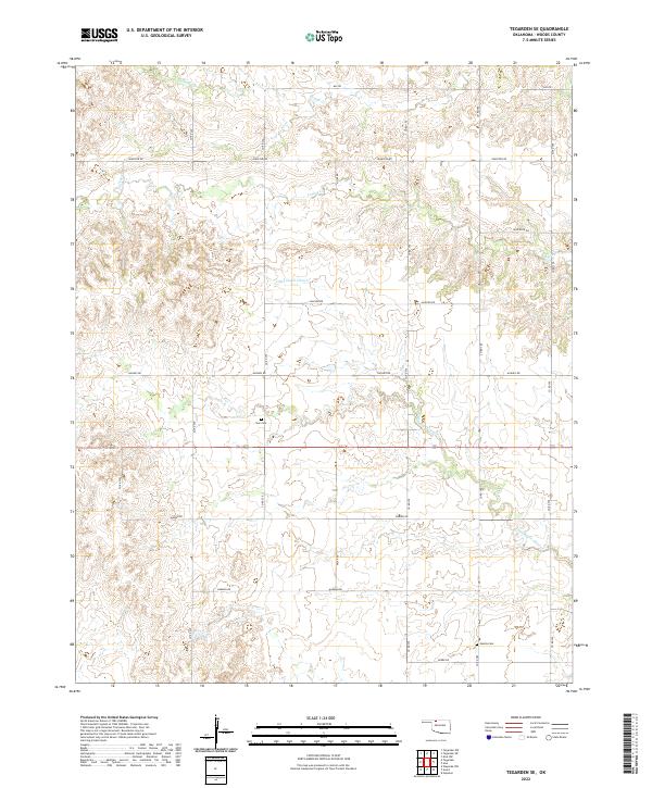
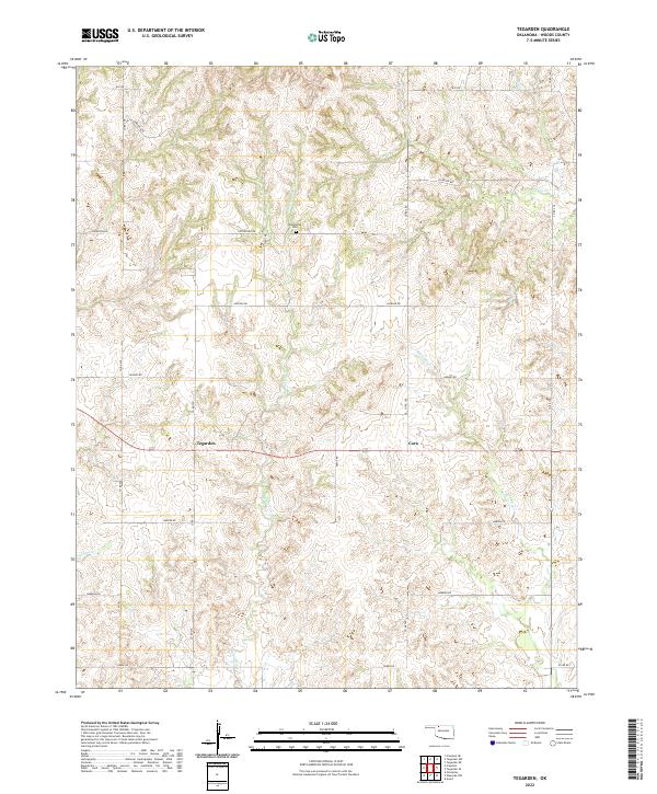
1969 Tegarden
Woods County, OK
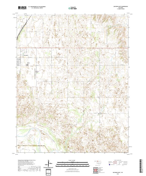
1969 Waynoka East
Woods County, OK
1969 Waynoka NW
Woods County, OK
1969 Waynoka West
Woods County, OK
1970 Edith
Woods County, OK

1970 Freedom NE
Woods County, OK
1970 Freedom NW
Woods County, OK

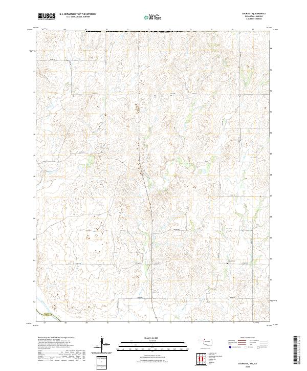
1970 Lookout
Woods County, OK
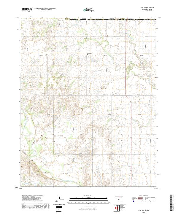
2022 Alva NW
Woods County, OK
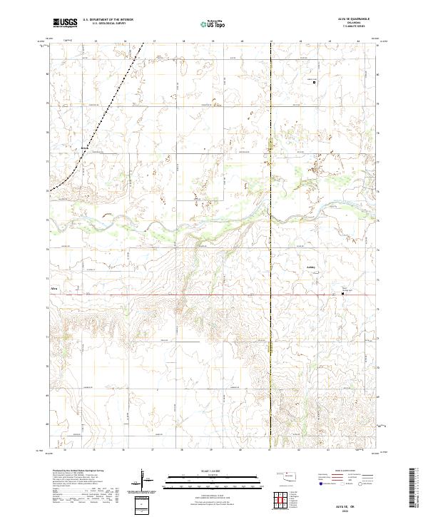
2022 Alva SE
Woods County, OK
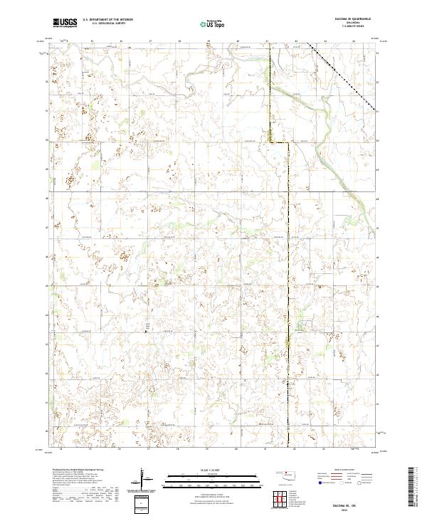
2022 Dacoma SE
Woods County, OK
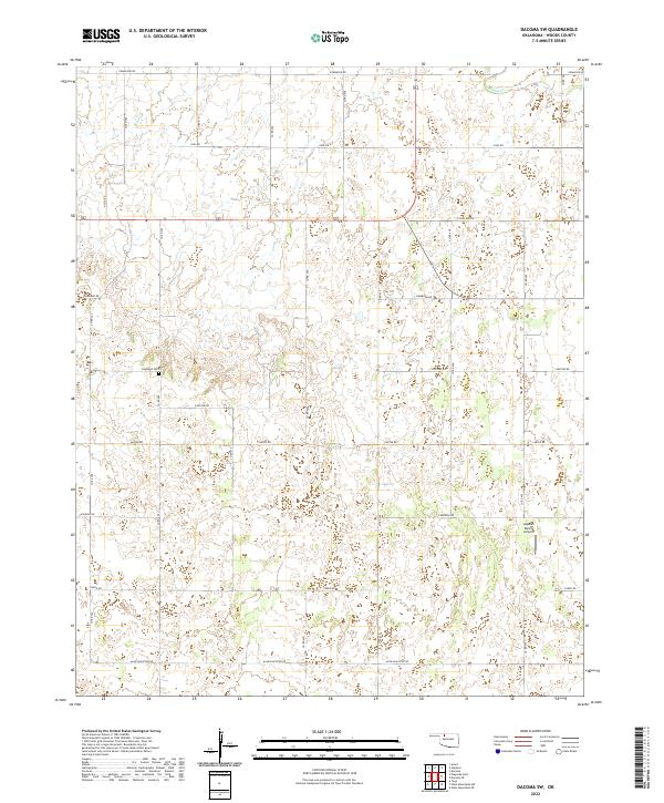
2022 Dacoma SW
Woods County, OK
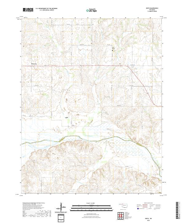
2022 Edith
Woods County, OK
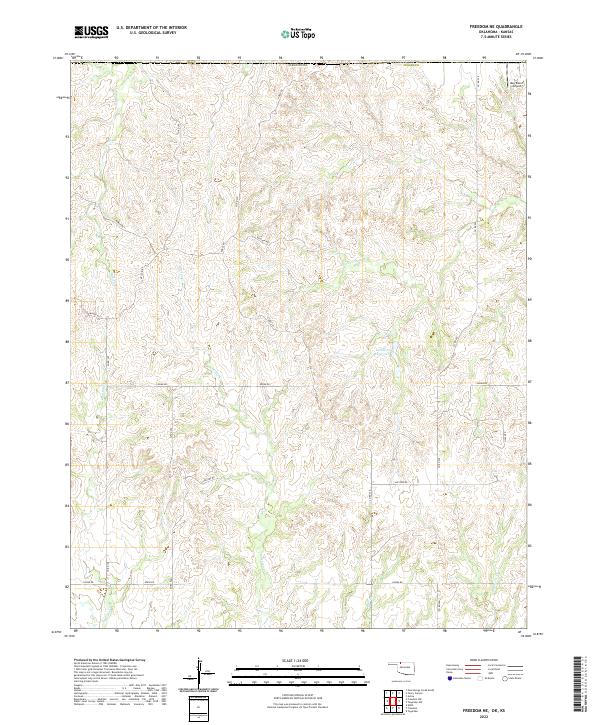
2022 Freedom NE
Woods County, OK
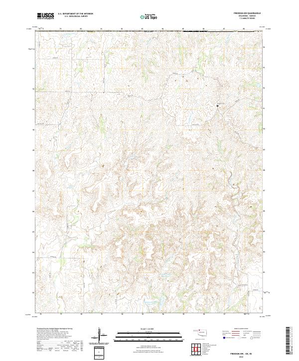
2022 Freedom NW
Woods County, OK
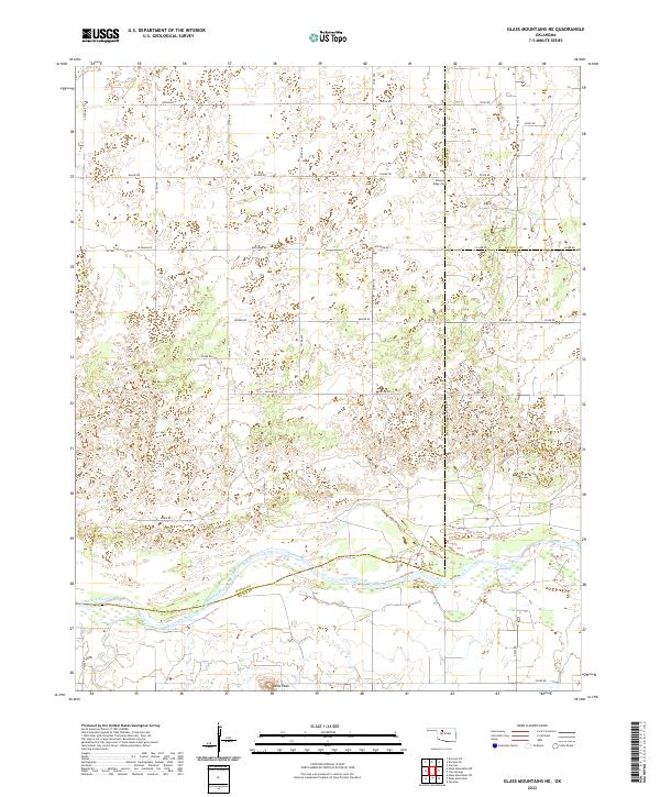
2022 Glass Mountains NE
Woods County, OK
2022 Glass Mountains NW
Woods County, OK
2022 Lookout
Woods County, OK
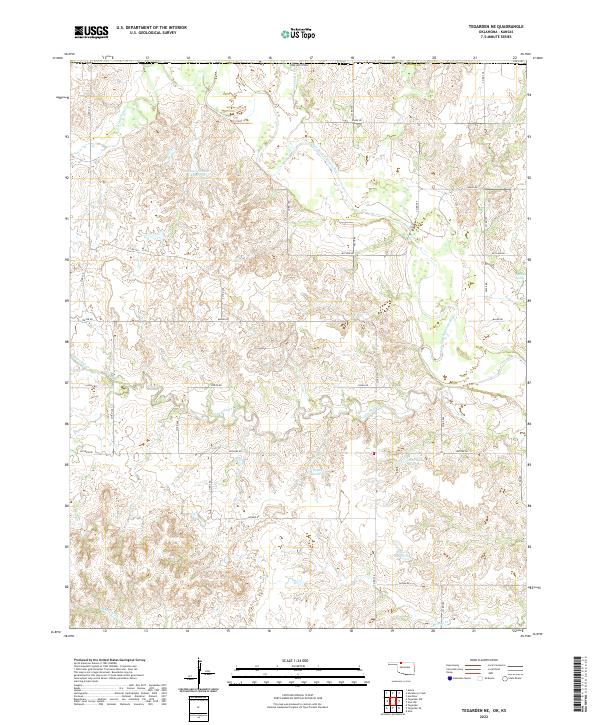
2022 Tegarden NE
Woods County, OK
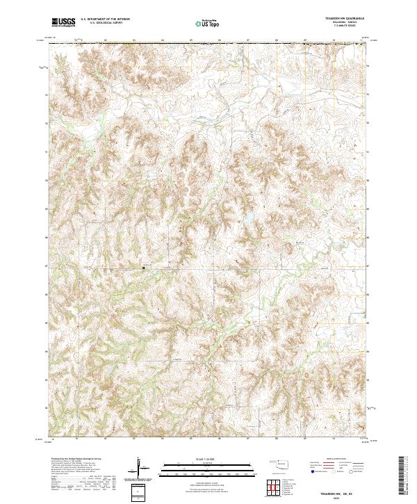
2022 Tegarden NW
Woods County, OK
2022 Tegarden SE
Woods County, OK
2022 Tegarden
Woods County, OK
2022 Waynoka East
Woods County, OK
2022 Waynoka NW
Woods County, OK
2022 Waynoka West
Woods County, OK