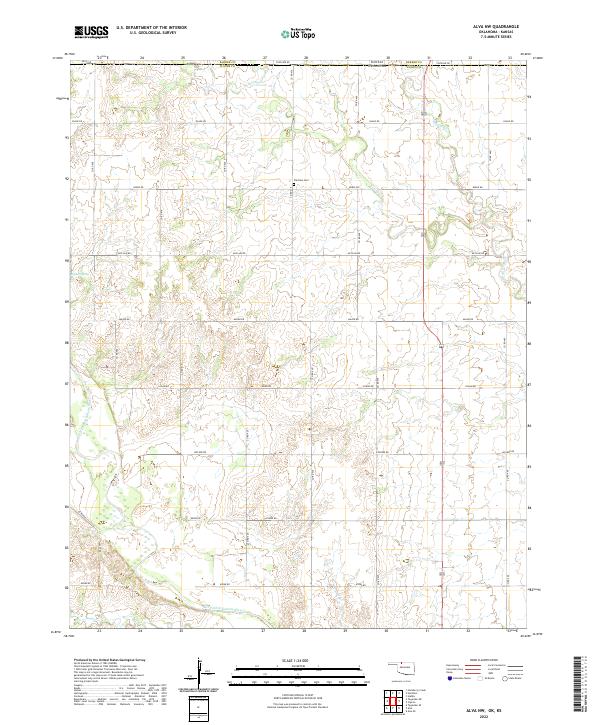
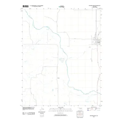
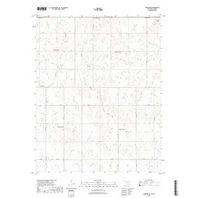
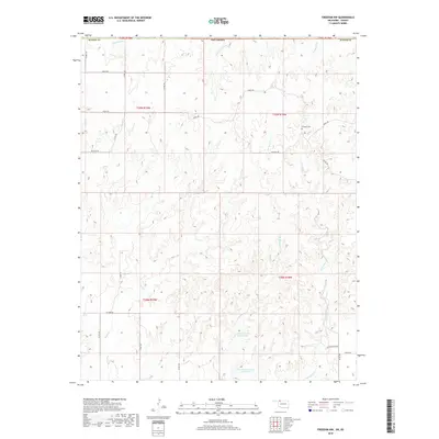
2022 Map of Alva NW
USGS Topo · Published 2022About this map
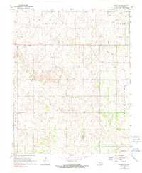
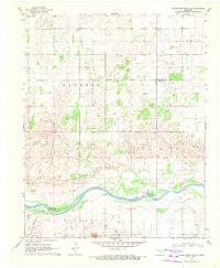
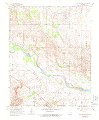
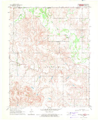
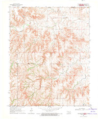
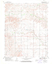
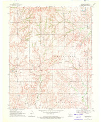
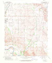
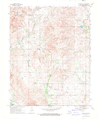
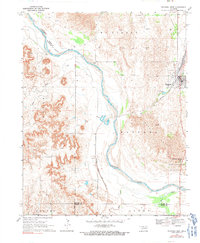
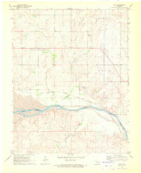
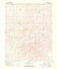
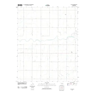
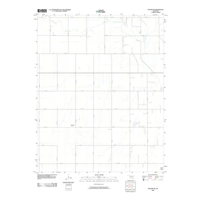
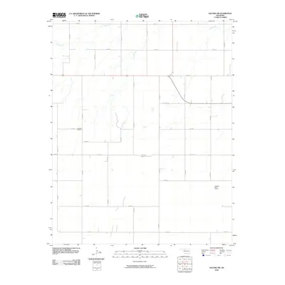
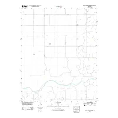
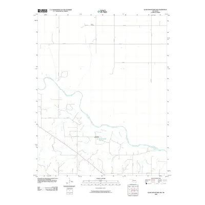
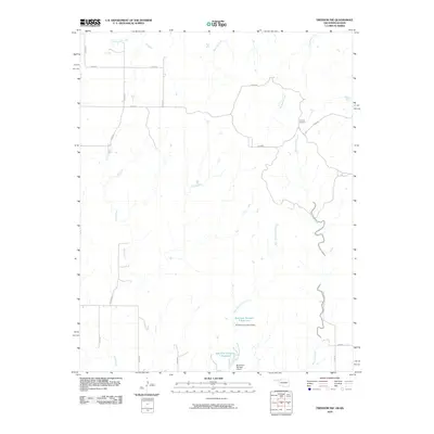
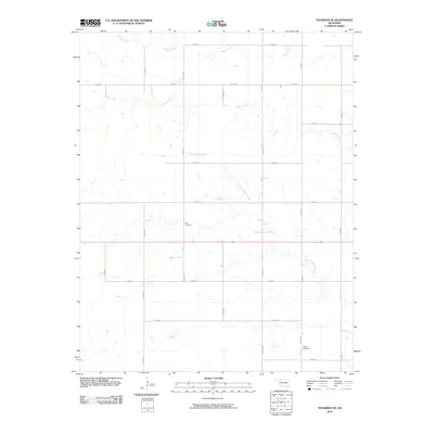
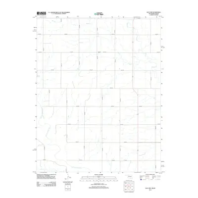
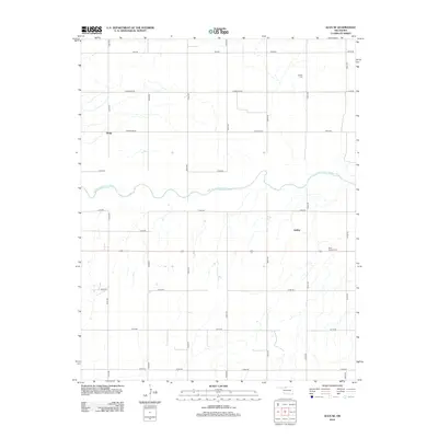
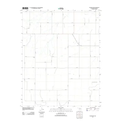
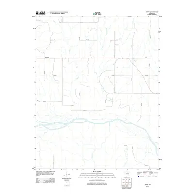
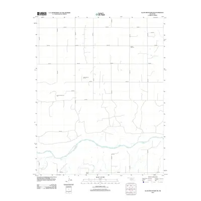
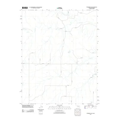
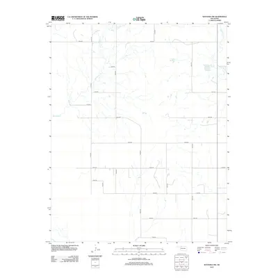
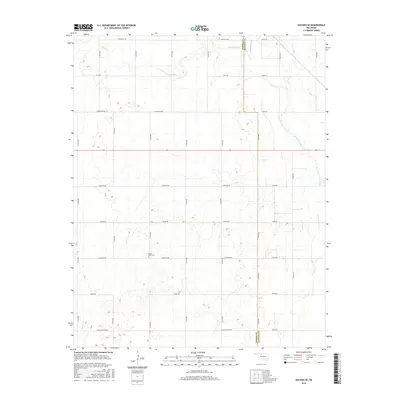
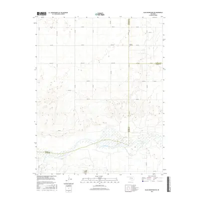
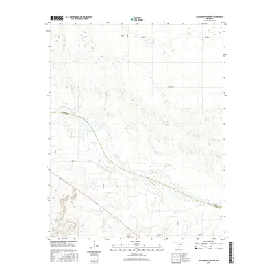
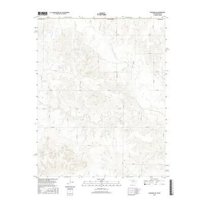
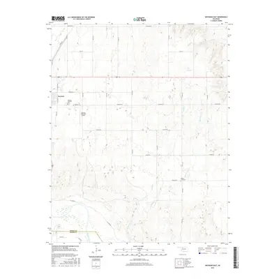
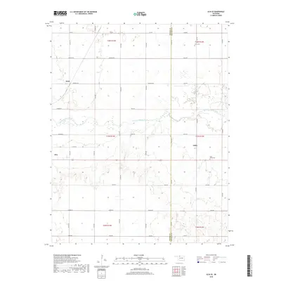
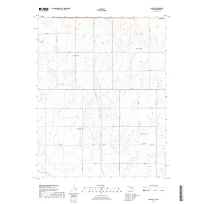
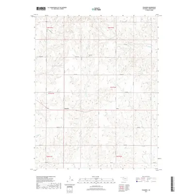
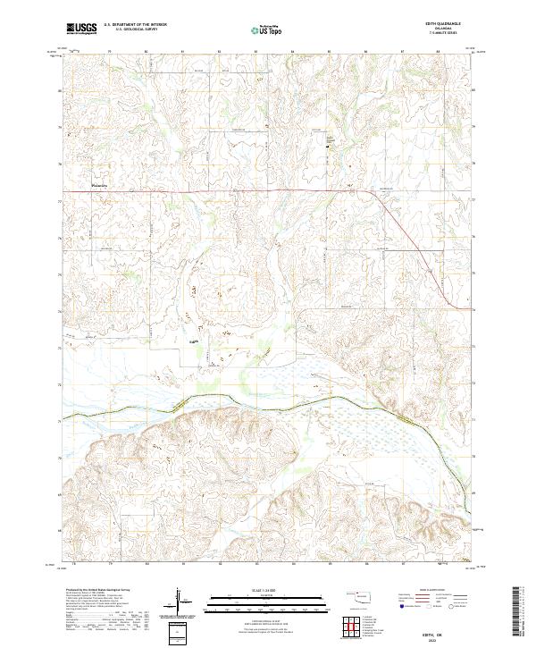
The Salt Fork Arkansas River flows through the southern section of this territory, defining a landscape marked by the transition from the high plains down to the river basin. Situated along the border between Oklahoma and Kansas, the region is characterized by a precise grid of rural roads such as Stateline Rd, Osage Rd, and Kiowa Rd that partition the land into sections. Genealogy and local history researchers will find the Fairview Cem positioned centrally near Noble Rd, a quiet landmark in an area otherwise dominated by expansive ranching or agricultural tracts. Water sources are critical in this environment, evidenced by named features like Buffalo Spring and the drainage networks of Spring Cr and Driftwood Cr. The map captures the enduring rural layout of Woods County, reflecting a late-twentieth and early-twenty-first-century reliance on this established transport and drainage infrastructure.
Find a feature on this map
31 named features on this map. Tap any name to fly to it.
Don’t see what you’re looking for? This feature index may not catch every label — zoom into the map to look around manually.
Map Details
Editions of this 2022 Alva NW Map
This is the sole edition of this map. No revisions or reprints were ever made.
Historical Maps of Barber County Through Time
102 maps found
1969 Alva NW
Woods County, OK
1969 Alva SE
Woods County, OK
1969 Dacoma SE
Woods County, OK
1969 Dacoma SW
Woods County, OK
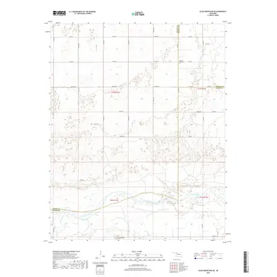
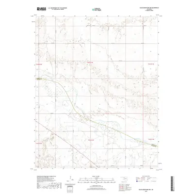
1969 Glass Mountains NE
Woods County, OK
1969 Glass Mountains NW
Woods County, OK
1969 Tegarden NE
Woods County, OK
1969 Tegarden NW
Woods County, OK
1969 Tegarden SE
Woods County, OK
1969 Tegarden
Woods County, OK
1969 Waynoka East
Woods County, OK
1969 Waynoka NW
Woods County, OK
1969 Waynoka West
Woods County, OK
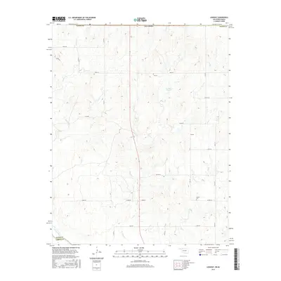
1970 Edith
Woods County, OK

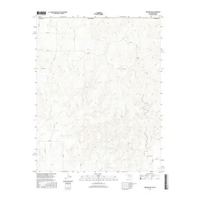
1970 Freedom NE
Woods County, OK
1970 Freedom NW
Woods County, OK

1970 Lookout
Woods County, OK
2009 Alva SE
Woods County, OK
2009 Dacoma SE
Woods County, OK
2009 Dacoma SW
Woods County, OK
2009 Glass Mountains NE
Woods County, OK
2009 Glass Mountains NW
Woods County, OK
2010 Alva NW
Woods County, OK
2010 Edith
Woods County, OK
2010 Freedom NE
Woods County, OK
2010 Freedom NW
Woods County, OK
2010 Lookout
Woods County, OK
2010 Tegarden NE
Woods County, OK
2010 Tegarden NW
Woods County, OK
2010 Tegarden SE
Woods County, OK
2010 Tegarden
Woods County, OK
2010 Waynoka East
Woods County, OK
2010 Waynoka NW
Woods County, OK
2010 Waynoka West
Woods County, OK
2012 Alva NW
Woods County, OK
2012 Alva SE
Woods County, OK
2012 Dacoma SE
Woods County, OK
2012 Dacoma SW
Woods County, OK
2012 Edith
Woods County, OK
2012 Freedom NE
Woods County, OK
2012 Freedom NW
Woods County, OK
2012 Glass Mountains NE
Woods County, OK
2012 Glass Mountains NW
Woods County, OK
2012 Lookout
Woods County, OK
2012 Tegarden NE
Woods County, OK
2012 Tegarden NW
Woods County, OK
2012 Tegarden SE
Woods County, OK
2012 Tegarden
Woods County, OK
2012 Waynoka East
Woods County, OK
2012 Waynoka NW
Woods County, OK
2012 Waynoka West
Woods County, OK
2016 Alva NW
Woods County, OK
2016 Alva SE
Woods County, OK
2016 Dacoma SE
Woods County, OK
2016 Dacoma SW
Woods County, OK
2016 Edith
Woods County, OK
2016 Freedom NE
Woods County, OK
2016 Freedom NW
Woods County, OK
2016 Glass Mountains NE
Woods County, OK
2016 Glass Mountains NW
Woods County, OK
2016 Lookout
Woods County, OK
2016 Tegarden NE
Woods County, OK
2016 Tegarden NW
Woods County, OK
2016 Tegarden SE
Woods County, OK
2016 Tegarden
Woods County, OK
2016 Waynoka East
Woods County, OK
2016 Waynoka NW
Woods County, OK
2016 Waynoka West
Woods County, OK
2018 Alva NW
Woods County, OK
2018 Alva SE
Woods County, OK
2018 Dacoma SE
Woods County, OK
2018 Dacoma SW
Woods County, OK
2018 Edith
Woods County, OK
2018 Freedom NE
Woods County, OK
2018 Freedom NW
Woods County, OK
2018 Glass Mountains NE
Woods County, OK
2018 Glass Mountains NW
Woods County, OK
2018 Lookout
Woods County, OK
2018 Tegarden NE
Woods County, OK
2018 Tegarden NW
Woods County, OK
2018 Tegarden SE
Woods County, OK
2018 Tegarden
Woods County, OK
2018 Waynoka East
Woods County, OK
2018 Waynoka NW
Woods County, OK
2018 Waynoka West
Woods County, OK
2022 Alva NW
Woods County, OK
2022 Alva SE
Woods County, OK
2022 Dacoma SE
Woods County, OK
2022 Dacoma SW
Woods County, OK
2022 Edith
Woods County, OK
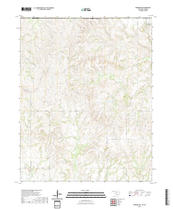
2022 Freedom NE
Woods County, OK
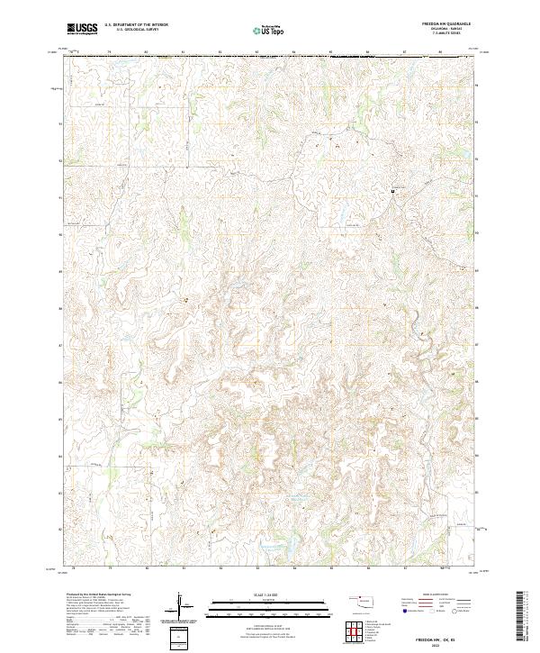
2022 Freedom NW
Woods County, OK
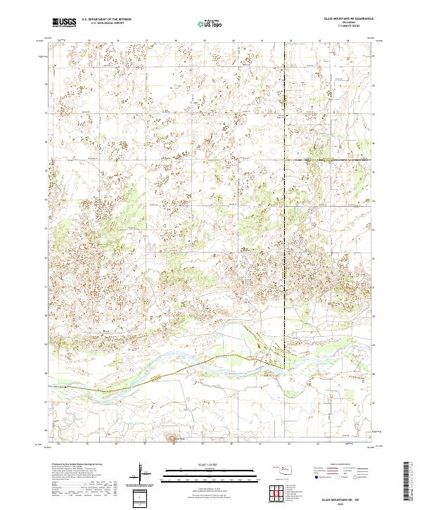
2022 Glass Mountains NE
Woods County, OK
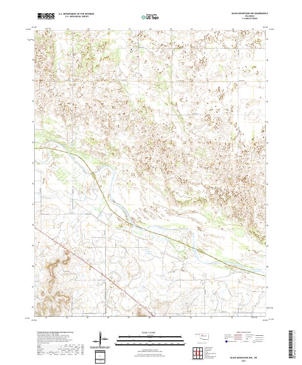
2022 Glass Mountains NW
Woods County, OK
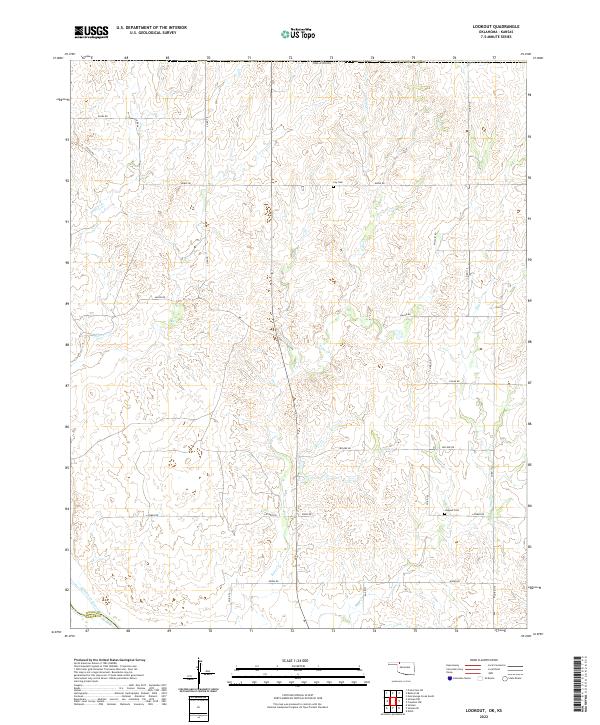
2022 Lookout
Woods County, OK
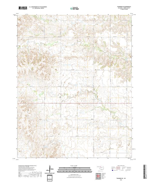
2022 Tegarden NE
Woods County, OK
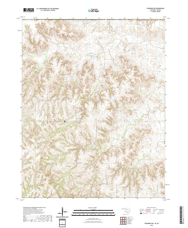
2022 Tegarden NW
Woods County, OK
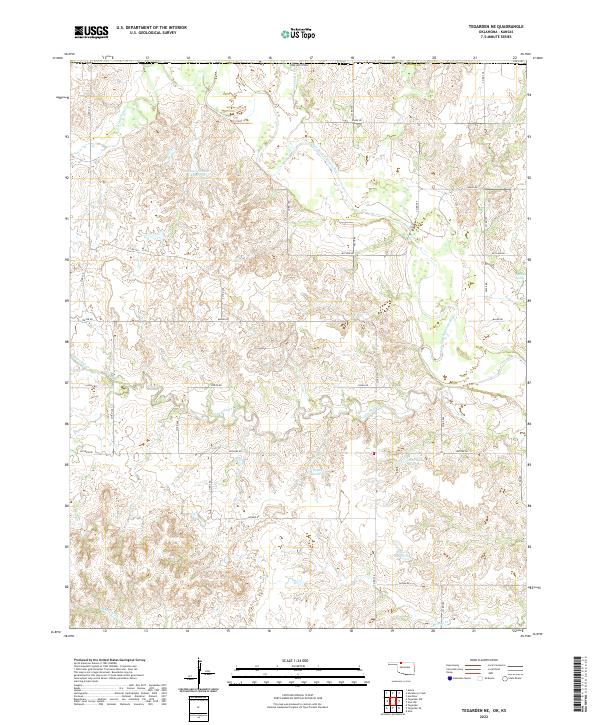
2022 Tegarden SE
Woods County, OK
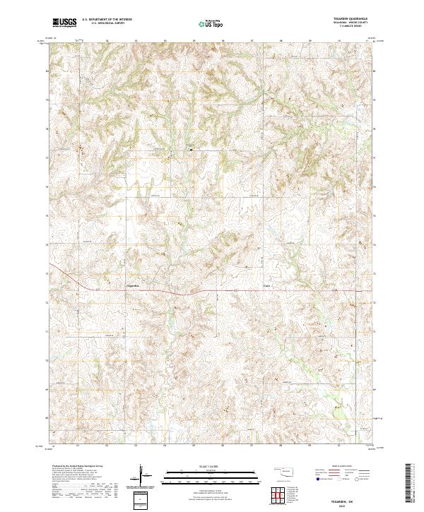
2022 Tegarden
Woods County, OK
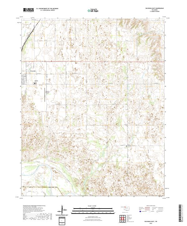
2022 Waynoka East
Woods County, OK
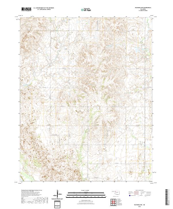
2022 Waynoka NW
Woods County, OK
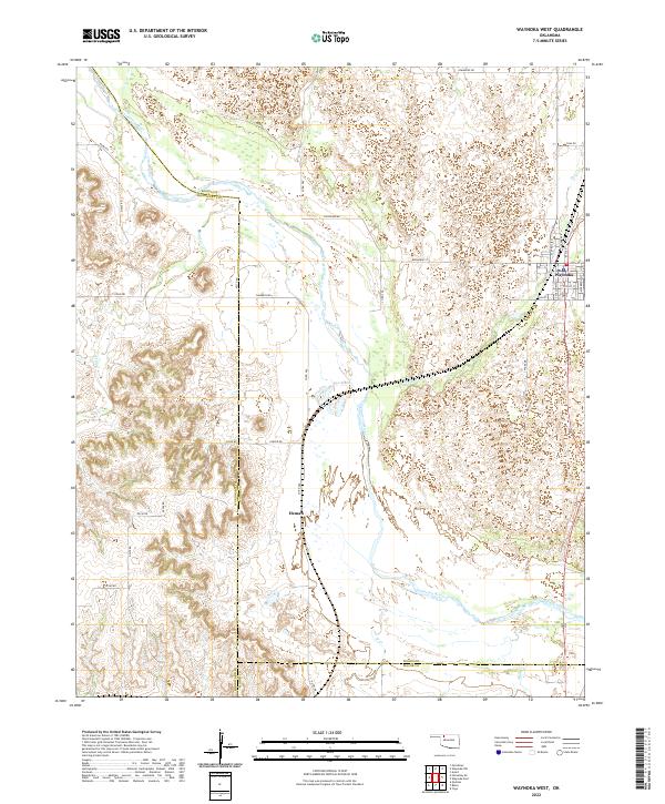
2022 Waynoka West
Woods County, OK