1970s Maps of South Carolina
Explore 169 historic maps of South Carolina from the 1970s. These maps offer a rare glimpse into what life looked like during the 1970s — showing old roads, neighborhoods, homes, and landmarks that have changed or disappeared over time.
Whether you're researching your family's past, planning a metal detecting trip, or studying how South Carolina's landscape evolved across the 1970s, these high-resolution maps are a powerful tool for exploring the history of this region.
- Focus on a specific era: All maps on this page are from the 1970s, giving you a focused view of this time period.
- See what’s changed: Compare century-old streets, trails, and buildings to today's modern landscape using overlays and satellite layers.
- Research with precision: Use these maps for genealogy, historical research, land use analysis, or educational projects.
- View, download, or print: Maps are fully viewable online in high resolution, and can be downloaded or printed for your own records.
Start exploring South Carolina's history through authentic maps from the 1970s. This is your window into the past.
South Carolina maps
(169)- 1970 Map of Prosperity, 1973 Print
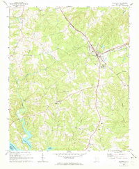 1970 Prosperity1973 Print · USGSNewberry County was a bustling rail and agricultural hub in the early 1970s, centered on the junction at Prosperity. You can trace rural landmarks from the Rikard Sch to numerous historic congregations like St Lukes Ch and Lever Chapel.
 - 1970 Map of Bush River, 1973 Print
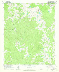 1970 Bush River1973 Print · USGSThe rural Piedmont of Newberry and Laurens Counties is captured here in the early seventies, just as modern forestry and agriculture shaped the landscape. Researchers can locate family landmarks like the Little River Ch, the Bush River School, and the Silverstreet Lookout Tower.2 unique versions available
 - 1970 Map of Mt. Croghan, 1973 Print
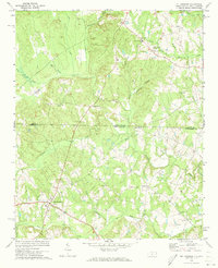 1970 Mt. Croghan1973 Print · USGSThe border country of the Carolinas is captured here in the early seventies, detailing the rural landscape of Anson and Chesterfield counties. Genealogists can trace family footprints near Mt Croghan and locate historic sites like Elizabeth Ch and Littles Quarters.2 unique versions available
 - 1970 Map of Cross Hill, 1973 Print
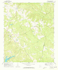 1970 Cross Hill1973 Print · USGSLaurens County in the early seventies shows a landscape where the Seaboard Coast Line railroad and the rising waters of Lake Greenwood meet. Researchers can trace rural lineages through landmarks like Bethabara Ch, Midway Sch, and the old settlement at Milton.
 - 1970 Map of Delmar, 1973 Print
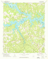 1970 Delmar1973 Print · USGSSaluda and Newberry Counties center on the expansive shoreline of the Saluda River Lake Murray reservoir in the early seventies. Genealogists and local historians can trace family locations near landmarks like Delmar, Utopia Sch, and the St Marks Ch churchyard.
 - 1970 Map of Whitmire North, 1973 Print
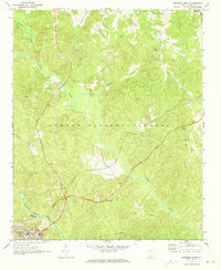 1970 Whitmire North1973 Print · USGSUnion County during the early 1970s shows a landscape of deep forests and river valleys shaped by the Tyger River. Researchers can trace the legacy of rural communities through sites like Goshen Hill, the Carlisle-Santuc Sch, and several remote family cemeteries.
 - 1970 Map of Cassatt, 1975 Print
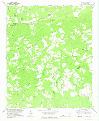 1970 Cassatt1975 Print · USGSIn the early seventies, the rural landscape around Cassatt remained a patchwork of timbered creek bottoms and small-town institutions. Genealogists can trace family roots through numerous sites like Mt Zion Ch, Hickman Sch, and Lockard Cem.
 - 1970 Map of Honea Path, 1975 Print
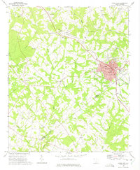 1970 Honea Path1975 Print · USGSHonea Path is shown at a period of transition in the early seventies, where rail lines and rural tradition meet. Genealogists can locate family landmarks like Garden of Memories, Jones Chapel, and the settlement of Craytonville.
 - 1970 Map of Bethune NW, 1975 Print
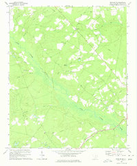 1970 Bethune NW1975 Print · USGSKershaw County remains a landscape of river valleys and rural crossroads during the 1970s. Researchers can trace family history through sites like Scotch Cem and Providence Ch or locate industrial landmarks such as Stevens Millpond.
 - 1970 Map of Bethune, 1975 Print
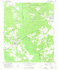 1970 Bethune1975 Print · USGSThe rural sandhills of Kershaw and Chesterfield counties come into focus during the early seventies, centered on the railroad towns of Bethune and McBee. Genealogists can locate family landmarks like Sandy Level Cem, Providence Ch, and old sites like Hough Millpond.
 - 1970 Map of Lucknow, 1975 Print
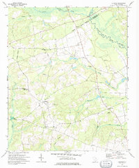 1970 Lucknow1975 Print · USGSThe rural Lee County countryside comes into focus in the early 1970s, showing a landscape shaped by the Lynches River and scattered farming settlements. Genealogists can locate family landmarks like St Matthews Ch, Bethany Cem, and the quiet hamlet of Lucknow.
 - 1971 Map of Graniteville
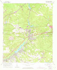 1971 Graniteville1971 Print · USGSThe Horse Creek valley textile towns are captured here in the early 1970s during a period of suburban growth. Genealogists can locate family landmarks like Carter Cemetery, St Marys Church, and the Old Langley Cemetery.
 - 1971 Map of Little River
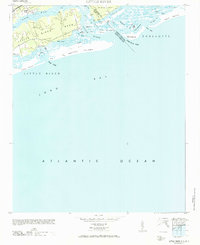 1971 Little River1971 Print · USGSThe coastal border of South Carolina and North Carolina is captured here in the mid-century, before the rise of major seaside resorts. Trace the maritime history of Little River and the winding reaches of Dunn Sound, The Battery, and the Eden Saltworks Cr.
 - 1971 Map of Summerton
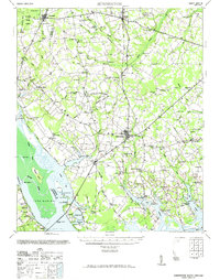 1971 Summerton1971 Print · USGSThe Clarendon County countryside comes alive in this mid-century survey, showing the transition from the Poinsett forest to the shores of Lake Marion. Genealogists can trace family roots through numerous local landmarks like Wells Sch, St Pauls Ch, and the historic Fort Watson.2 unique versions available
 - 1971 Map of Liberty Hill, 1972 Print
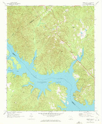 1971 Liberty Hill1972 Print · USGSThe Kershaw County backcountry meets the expanding shoreline of Watere Lake in the early seventies. Genealogists can trace rural life through landmarks like Liberty Hill, Oak Spring Ch, and the New Grove Cem along the river's winding inlets.
 - 1971 Map of Flint Hill, 1972 Print
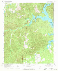 1971 Flint Hill1972 Print · USGSFairfield County in the early seventies centers on the expansive waters of Wateree Lake and its rural backcountry. Genealogists and local historians can trace small communities like Flint Hill and find landmarks such as Mt Zion Ch and the local Landing Strip.2 unique versions available
 - 1971 Map of Ridgeway, 1972 Print
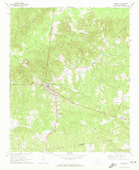 1971 Ridgeway1972 Print · USGSThe town of Ridgeway and its surrounding countryside are captured in the early 1970s as a vital railroad and agricultural crossroads. Genealogists and historians can trace local landmarks like Aimwell Cem, St Stephens Ch, and the outlying Oak Grove Sch.
 - 1971 Map of Longtown, 1972 Print
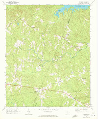 1971 Longtown1972 Print · USGSFairfield County's rural backcountry and the northern reaches of the Wateree reservoir are captured here during the early seventies. Genealogists and local researchers can locate numerous family-linked landmarks such as Longtown Cem, Rock Hill Ch, and the intersection at Warren Crossroads.
 - 1971 Map of Irmo, 1973 Print
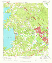 1971 Irmo1973 Print · USGSThe Irmo area was undergoing significant suburban growth in the early seventies as new neighborhoods expanded toward the shores of Lake Murray. Local researchers can trace the historic Columbia Newberry and Laurens rail line through Irmo and locate family landmarks like the Harbison Institute and Pilgrim Ch Cem.4 unique versions available
 - 1971 Map of Kings Mountain, 1973 Print
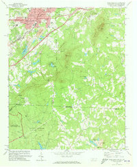 1971 Kings Mountain1973 Print · USGSThe foothills of the Carolinas come into focus during the early seventies as the industrial growth of Kings Mountain meets the preserved heights of the state and military parks. Researchers can trace the legacy of rural congregations and local landmarks like Pisgah Cem, Camp Rotary, and The Pinnacle.
 - 1971 Map of Blythewood, 1973 Print
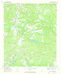 1971 Blythewood1973 Print · USGSBlythewood and the rural stretches of Richland County are shown in the early seventies as small communities began to grow along the Southern railroad. Researchers can trace the footprints of Hanbury Jr High Sch, Bethel Ch, and the old sandpits.2 unique versions available
 - 1971 Map of Boiling Springs South, 1973 Print
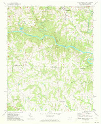 1971 Boiling Springs South1973 Print · USGSThe Carolina borderlands come into focus in the early 1970s, as the Broad River carves through the rural landscape of Cleveland and Cherokee counties. Genealogists can trace family footprints at Gardner-Webb College, Mt Pleasant Ch, and Grassy Pond.3 unique versions available
 - 1971 Map of Morven West, 1973 Print
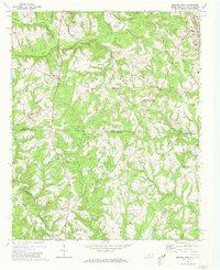 1971 Morven West1973 Print · USGSAnson County, North Carolina and Chesterfield County, South Carolina are mapped here in the early seventies as the rural landscape straddled the state line. Genealogists can trace family roots through local landmarks like Cason Old Field and churches such as Sandy Plains Ch and Pleasant Grove Ch.2 unique versions available
 - 1971 Map of Filbert, 1973 Print
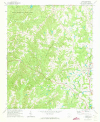 1971 Filbert1973 Print · USGSYork County in the early 1970s is shown here as a landscape of rural congregations and developing transportation hubs. Genealogists and historians can trace family locations through numerous landmarks like Mt Enon Ch, Lakeview Memory Gardens, and the Carolina and Northwestern rail line.
 - 1971 Map of Unity, 1973 Print
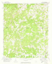 1971 Unity1973 Print · USGSThe Carolina borderlands in Lancaster and Union counties are captured here in the early 1970s, showcasing a landscape of rural settlements and branch-water farms. Genealogists can trace family footprints through community hubs like Unity, Sapps Crossroads, and Lingles Crossroads.3 unique versions available
Showing maps 1-25 of 169
Top cities of South Carolina
- Charleston historical maps
- Columbia historical maps
- North Charleston historical maps
- Rock Hill historical maps
- Greenville historical maps
- Mount Pleasant historical maps
See more
Top counties of South Carolina
- Greenville County historical maps
- Richland County historical maps
- Charleston County historical maps
- Horry County historical maps
- Spartanburg County historical maps
- Lexington County historical maps
See more
Frequently asked questions
- What are the different types of historical maps available for South Carolina?
- What is the oldest map of South Carolina?
- Where can I purchase historical maps of South Carolina for my home or office?
- Where can I download high-res historical maps of South Carolina?
- Are there historical topographic maps available for South Carolina?
- Is there historical aerial imagery available for South Carolina?
- Where are historical maps of South Carolina sourced from?