
2022 Map of Alberene
USGS Topo · Published 2022About this map
The soapstone-rich community of Alberene anchors this portion of Albemarle County, where the landscape is defined by the parallel ridgelines of Green Mtn and Carters Mtn. This modern survey reveals a countryside still characterized by significant agricultural estates, including the sprawling Estouteville Farm, Bellair Farm, and Sherwood Farm. The complex drainage of the Hardware River system, including both the N Fork Hardware River and S Fork Hardware River, has historically dictated the settlement patterns and road networks throughout these foothills.
Find a feature on this map
115 named features on this map. Tap any name to fly to it.
Don’t see what you’re looking for? This feature index may not catch every label — zoom into the map to look around manually.
Map Details
Editions of this 2022 Alberene Map
This is the sole edition of this map. No revisions or reprints were ever made.
Historical Maps of Marshall Manor Through Time
43 maps found

1929 Covesville
Albemarle County, VA

1931 University
Albemarle County, VA

1935 Charlottesville
Albemarle County, VA

1935 Covesville
Albemarle County, VA

1935 University
Albemarle County, VA

1939 Charlottesville
Albemarle County, VA

1945 Covesville
Albemarle County, VA

1949 Charlottesville
Albemarle County, VA

1949 Charlottesville
Albemarle County, VA

1956 Charlottesville
Albemarle County, VA

1964 Charlottesville East
Albemarle County, VA

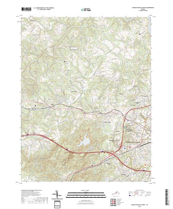
1964 Charlottesville West
Albemarle County, VA

1964 Waynesboro East
Albemarle County, VA

1965 Browns Cove
Albemarle County, VA

1967 Alberene
Albemarle County, VA

1967 Covesville
Albemarle County, VA

1967 Simeon
Albemarle County, VA

1972 Charlottesville East
Albemarle County, VA

1972 Charlottesville West
Albemarle County, VA

1972 Waynesboro East
Albemarle County, VA

1973 Charlottesville East
Albemarle County, VA

1973 Charlottesville West
Albemarle County, VA

1973 Waynesboro East
Albemarle County, VA

1977 Browns Cove
Albemarle County, VA

1977 Charlottesville East
Albemarle County, VA

1977 Charlottesville West
Albemarle County, VA

1977 Waynesboro East
Albemarle County, VA

1979 Alberene
Albemarle County, VA

1979 Covesville
Albemarle County, VA

1979 Simeon
Albemarle County, VA

1986 Charlottesville
Albemarle County, VA

1997 Browns Cove
Albemarle County, VA

1997 Charlottesville East
Albemarle County, VA

1997 Charlottesville West
Albemarle County, VA

1997 Waynesboro East
Albemarle County, VA

1999 Covesville
Albemarle County, VA
2022 Alberene
Albemarle County, VA

2022 Browns Cove
Albemarle County, VA

2022 Charlottesville East
Albemarle County, VA
2022 Charlottesville West
Albemarle County, VA

2022 Covesville
Albemarle County, VA

2022 Simeon
Albemarle County, VA

2022 Waynesboro East
Albemarle County, VA