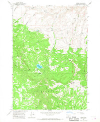
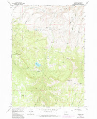
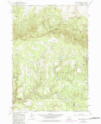
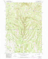
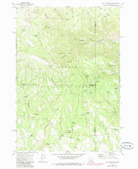
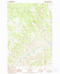
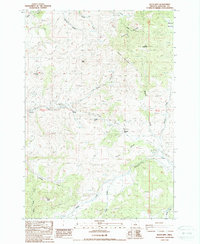
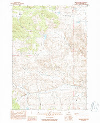
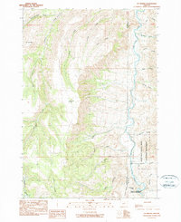
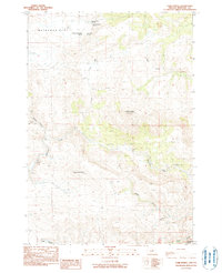
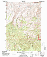
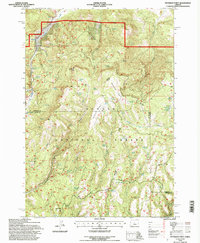
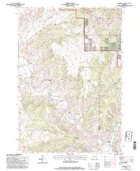
1966 Map of Antone
USGS Topo · Published 1968This historical map portrays the area of Antone in 1966, primarily covering Wheeler County. Featuring a scale of 1:24000, this map provides a highly detailed snapshot of the terrain, roads, buildings, counties, and historical landmarks in the Antone region at the time. Published in 1968, it is one of 2 known editions of this map due to revisions or reprints.
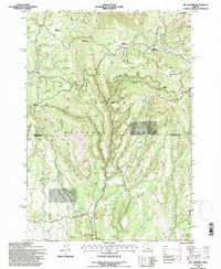
Find a feature on this map
52 named features on this map. Tap any name to fly to it.
Don’t see what you’re looking for? This feature index may not catch every label — zoom into the map to look around manually.
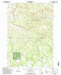
Map Details
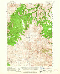
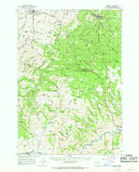
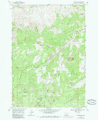
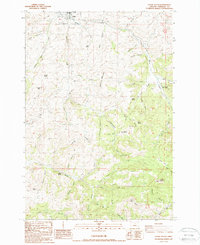
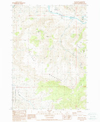
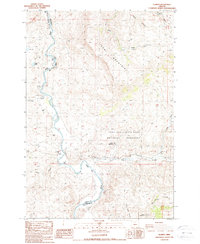
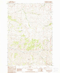
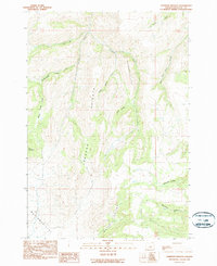
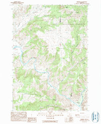
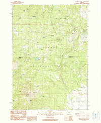
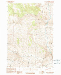
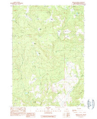
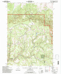
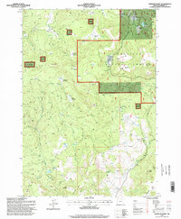
Editions of this 1966 Antone Map
2 editions found
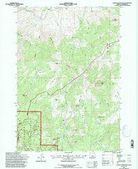
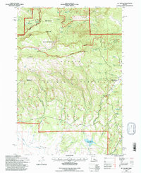
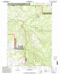
Historical Maps of Wheeler County Through Time
48 maps found
1953 Richmond
Wheeler County, OR
1966 Antone
Wheeler County, OR
1966 Clarno
Wheeler County, OR
1966 Derr Meadows
Wheeler County, OR
1966 Kinzua
Wheeler County, OR
1966 Mt. Pisgah
Wheeler County, OR
1966 Peterson Point
Wheeler County, OR
1966 Six Corners
Wheeler County, OR
1968 Lawson Mtn
Wheeler County, OR
1968 Painted Hills
Wheeler County, OR
1972 Day Basin
Wheeler County, OR
1972 Wolf Mountain
Wheeler County, OR

1981 Stephenson Mountain
Wheeler County, OR
1987 Fossil South
Wheeler County, OR
1987 Kinzua
Wheeler County, OR
1987 Rowe Creek
Wheeler County, OR
1987 Service Creek
Wheeler County, OR
1987 Sutton Mtn.
Wheeler County, OR
1988 Clarno
Wheeler County, OR
1988 Jennies Peak
Wheeler County, OR
1988 Keyes Mtn
Wheeler County, OR
1988 Porcupine Butte
Wheeler County, OR
1988 Toney Butte
Wheeler County, OR
1990 Collins Butte
Wheeler County, OR
1990 Frog Hollow
Wheeler County, OR
1990 Johnson Heights
Wheeler County, OR
1990 Kimberly
Wheeler County, OR
1990 Masiker Mountain
Wheeler County, OR
1990 Mt. Misery
Wheeler County, OR
1990 Ochoco Butte
Wheeler County, OR
1990 Picture Gorge West
Wheeler County, OR
1990 Richmond
Wheeler County, OR
1990 Tubb Spring
Wheeler County, OR
1990 Wheeler Point
Wheeler County, OR
1990 Whitetail Butte
Wheeler County, OR
1992 Antone
Wheeler County, OR
1992 Day Basin
Wheeler County, OR
1992 Derr Meadows
Wheeler County, OR
1992 Lawson Mountain
Wheeler County, OR
1992 Mt. Pisgah
Wheeler County, OR

1992 Ochoco Butte
Wheeler County, OR
1992 Peterson Point
Wheeler County, OR
1992 Six Corners
Wheeler County, OR
1992 Wolf Mountain
Wheeler County, OR
1995 Collins Butte
Wheeler County, OR
1995 Kimberly
Wheeler County, OR
1995 Wheeler Point
Wheeler County, OR
1995 Whitetail Butte
Wheeler County, OR