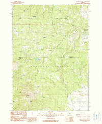
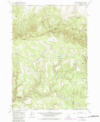
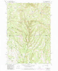
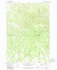
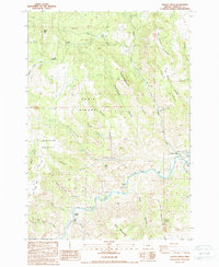
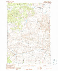
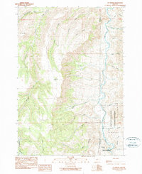
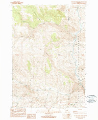
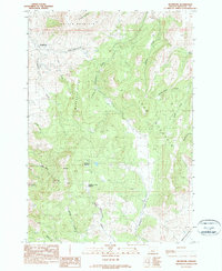
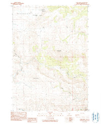
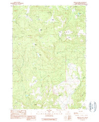
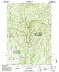
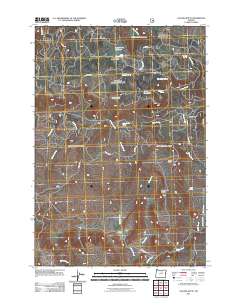
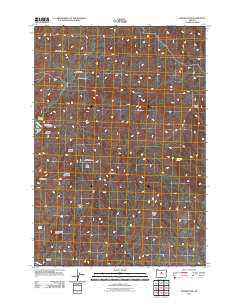
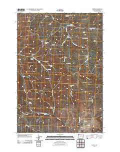
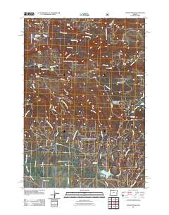
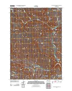
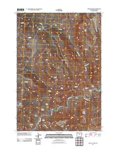
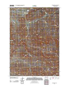
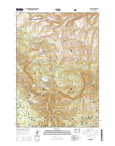
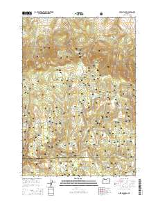
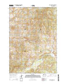
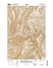
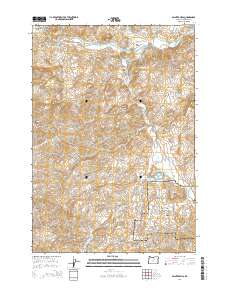
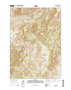
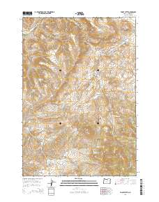
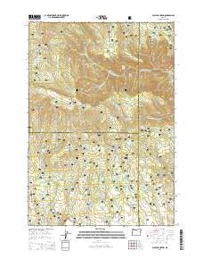
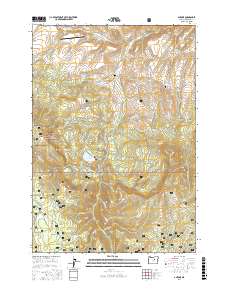
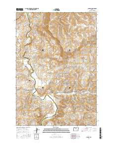
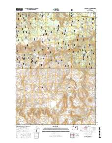
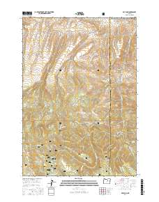
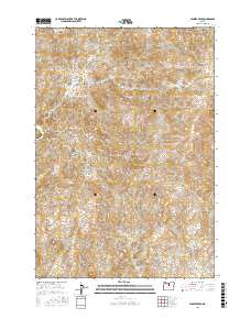
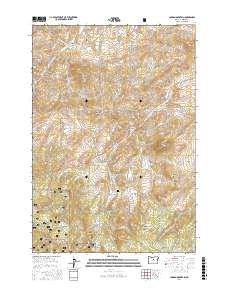
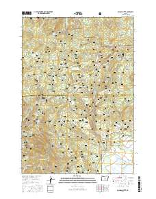
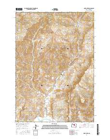
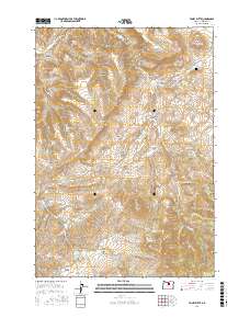
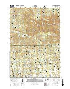
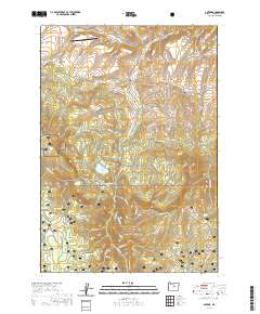
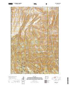
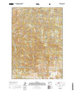
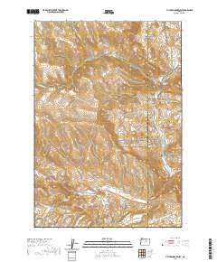
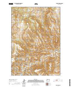
1990 Map of Ochoco Butte
USGS Topo · Published 1990About this map
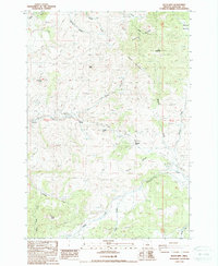
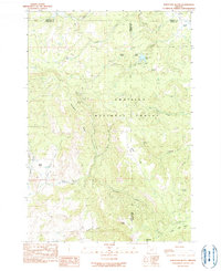
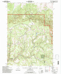
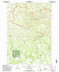
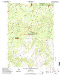
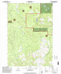
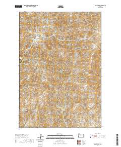
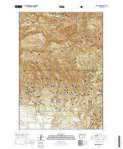
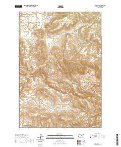
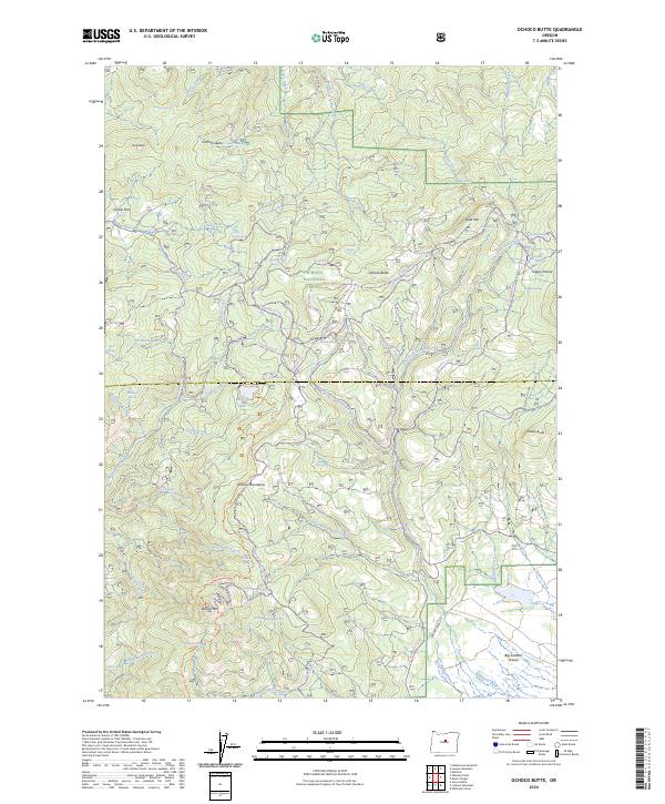
The Ochoco Mountains dominate this high-elevation landscape, where the boundary between Wheeler and Crook counties cuts through the dense timber of the Ochoco National Forest. This 1990 provisional survey documents a terrain defined by its water sources, from the isolated Old Kelly Mill in the north to the recreational waters of Walton Lake further south. The map captures the complex drainage patterns of Nature Creek, Camp Creek, and the West Branch Bridge Creek as they carve through the mountain range.
Find a feature on this map
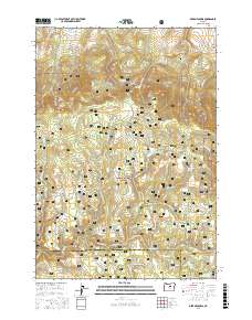
57 named features on this map. Tap any name to fly to it.
Don’t see what you’re looking for? This feature index may not catch every label — zoom into the map to look around manually.
Map Details
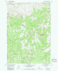
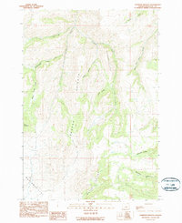
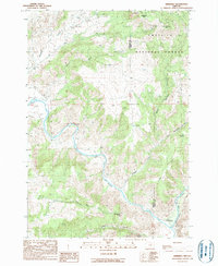
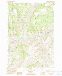
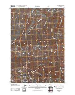
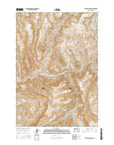
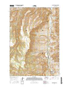
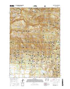
Editions of this 1990 Ochoco Butte Map
This is the sole edition of this map. No revisions or reprints were ever made.
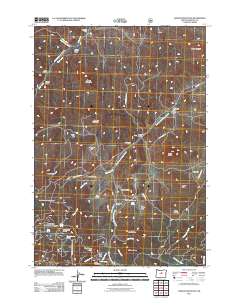
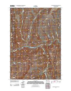
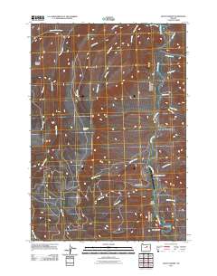
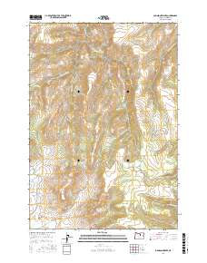
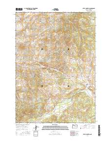
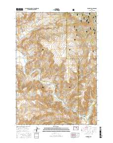
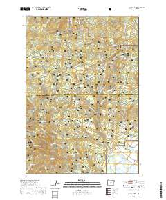
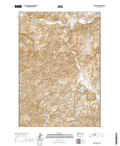
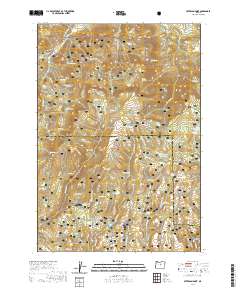
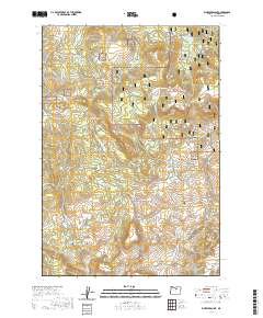
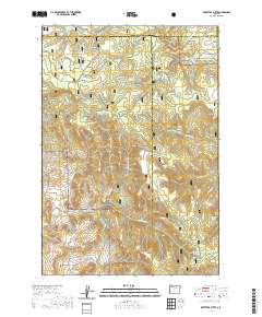
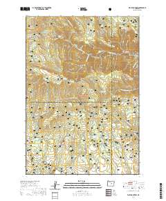
Historical Maps of Crook County Through Time
204 maps found
1953 Richmond
Wheeler County, OR
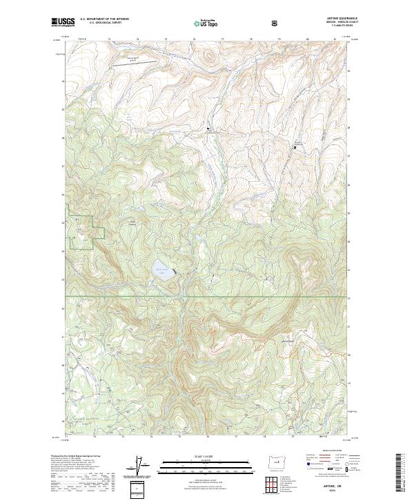
1966 Antone
Wheeler County, OR
1966 Clarno
Wheeler County, OR
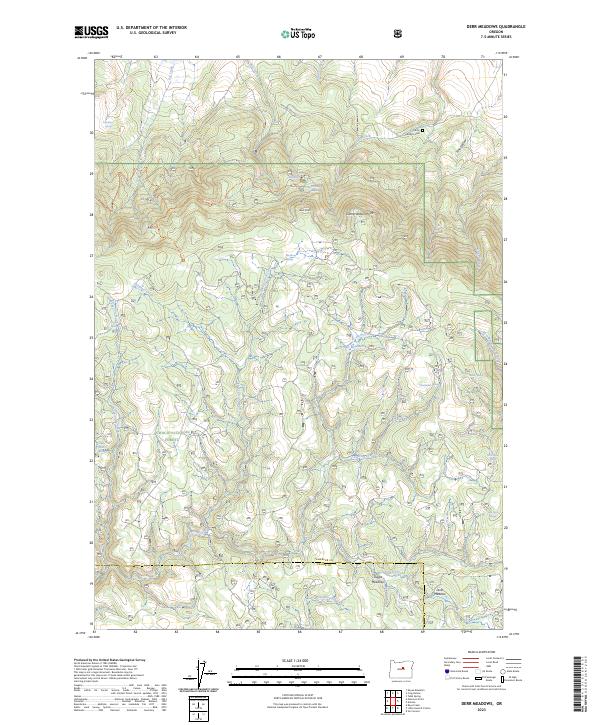
1966 Derr Meadows
Wheeler County, OR
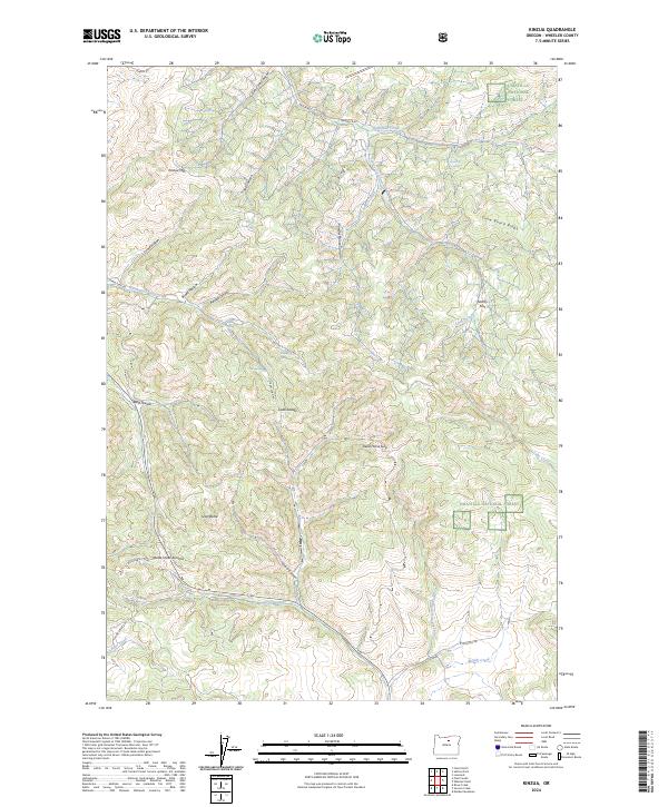
1966 Kinzua
Wheeler County, OR
1966 Mt. Pisgah
Wheeler County, OR
1966 Peterson Point
Wheeler County, OR
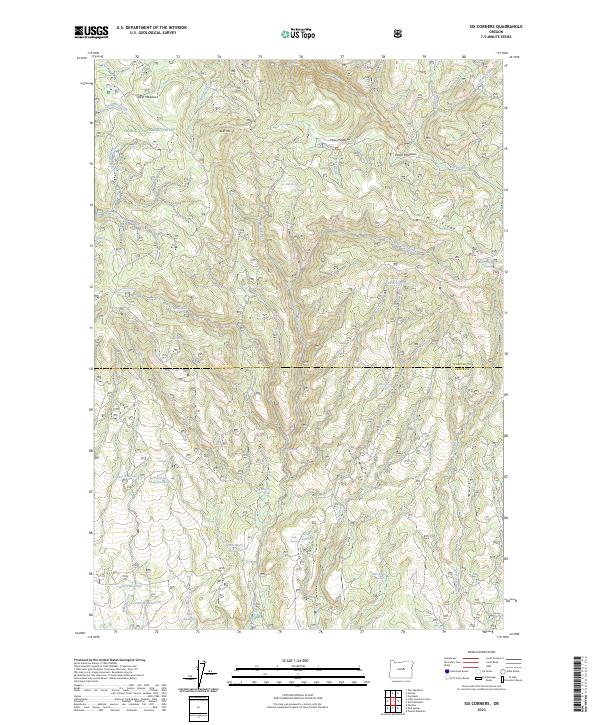
1966 Six Corners
Wheeler County, OR
1968 Lawson Mtn
Wheeler County, OR
1968 Painted Hills
Wheeler County, OR
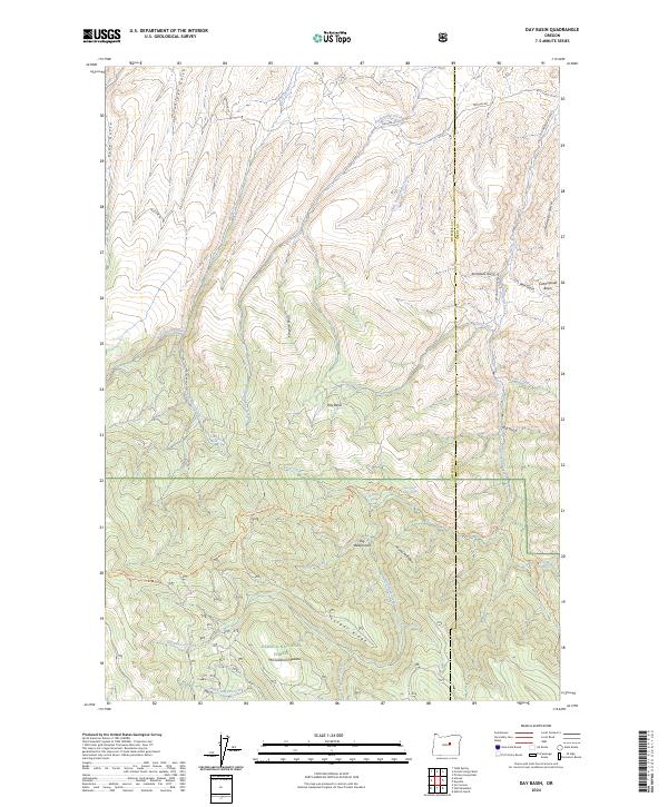
1972 Day Basin
Wheeler County, OR
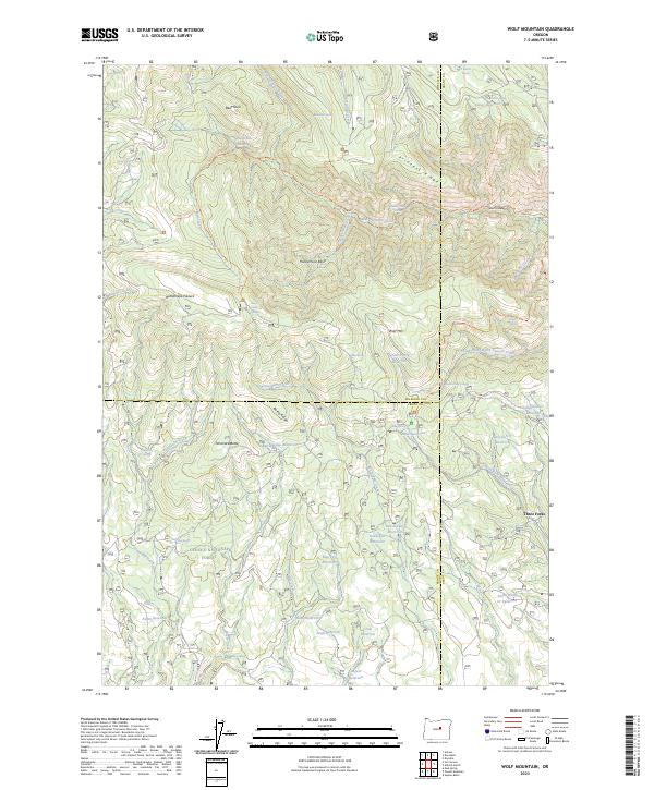
1972 Wolf Mountain
Wheeler County, OR

1981 Stephenson Mountain
Wheeler County, OR
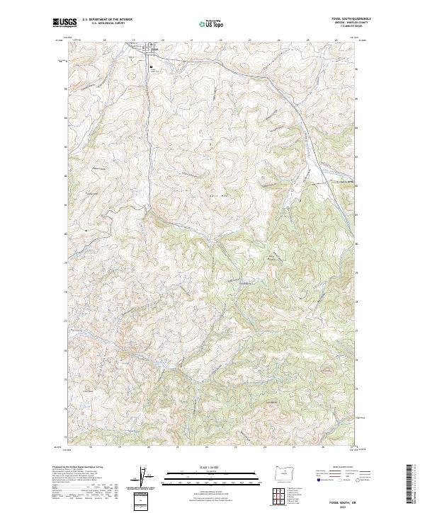
1987 Fossil South
Wheeler County, OR
1987 Kinzua
Wheeler County, OR
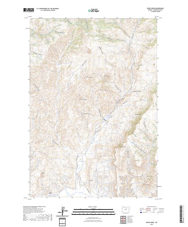
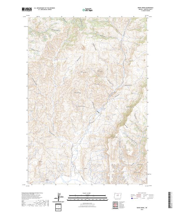
1987 Rowe Creek
Wheeler County, OR
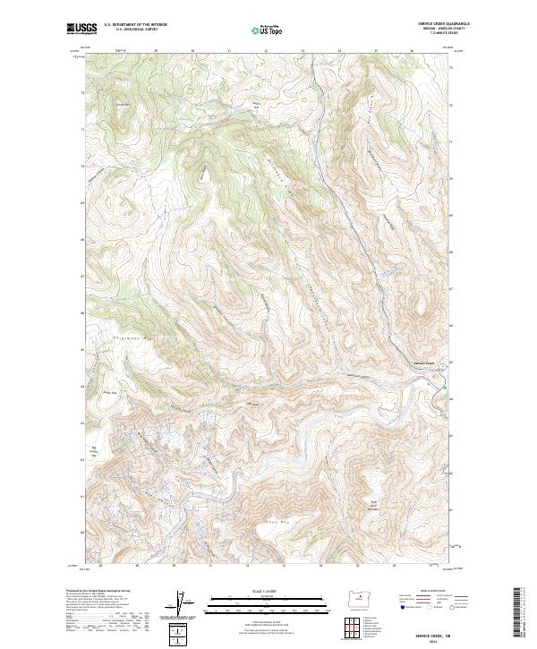
1987 Service Creek
Wheeler County, OR
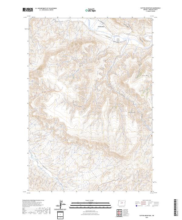
1987 Sutton Mtn.
Wheeler County, OR
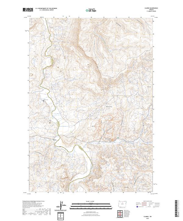
1988 Clarno
Wheeler County, OR
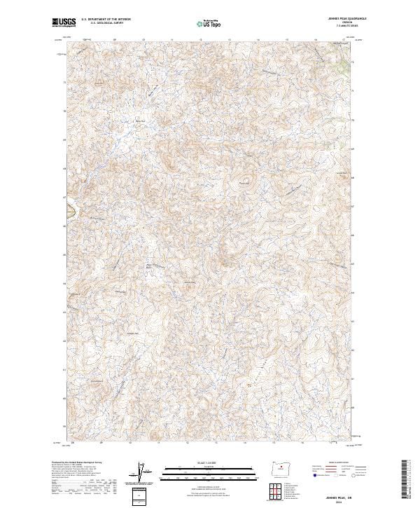
1988 Jennies Peak
Wheeler County, OR
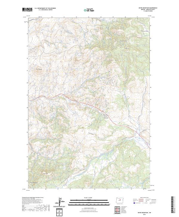
1988 Keyes Mtn
Wheeler County, OR
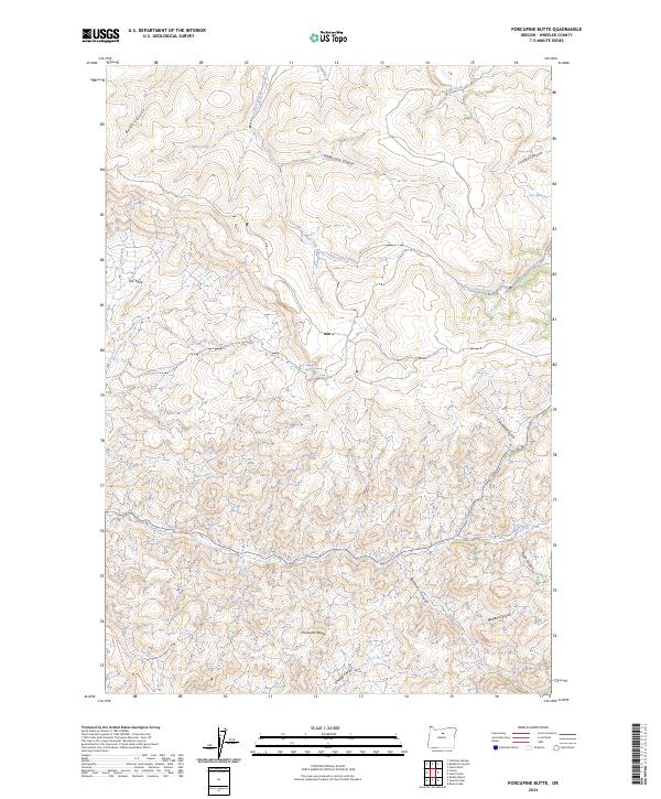
1988 Porcupine Butte
Wheeler County, OR
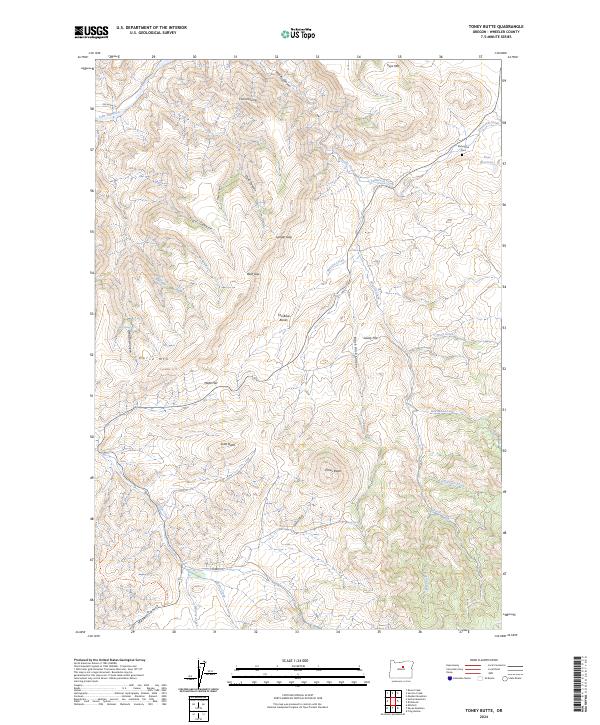
1988 Toney Butte
Wheeler County, OR
1990 Collins Butte
Wheeler County, OR
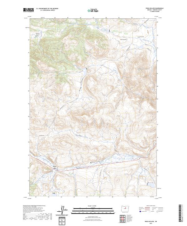
1990 Frog Hollow
Wheeler County, OR
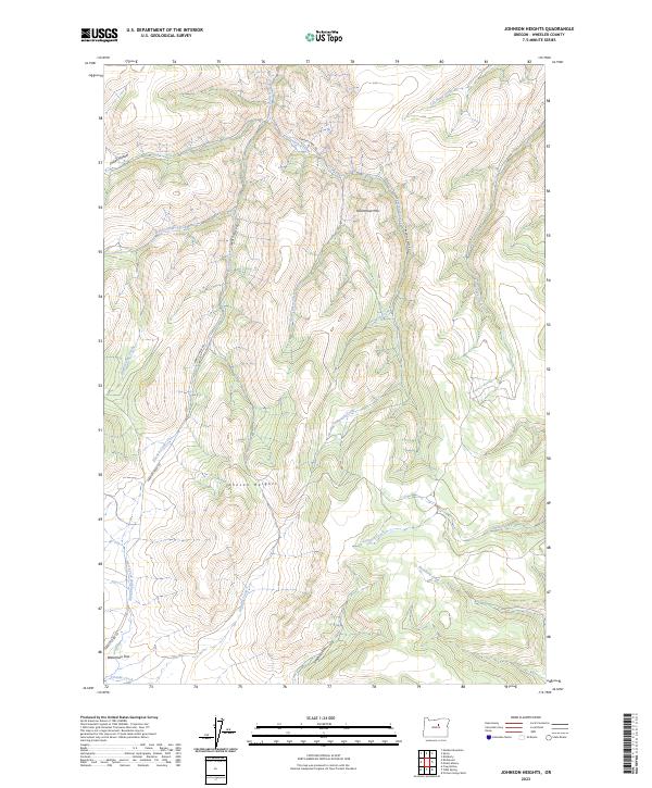
1990 Johnson Heights
Wheeler County, OR
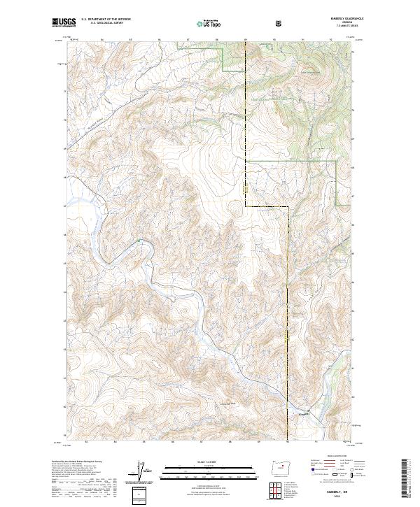
1990 Kimberly
Wheeler County, OR
1990 Masiker Mountain
Wheeler County, OR
1990 Mt. Misery
Wheeler County, OR
1990 Ochoco Butte
Wheeler County, OR
1990 Picture Gorge West
Wheeler County, OR
1990 Richmond
Wheeler County, OR
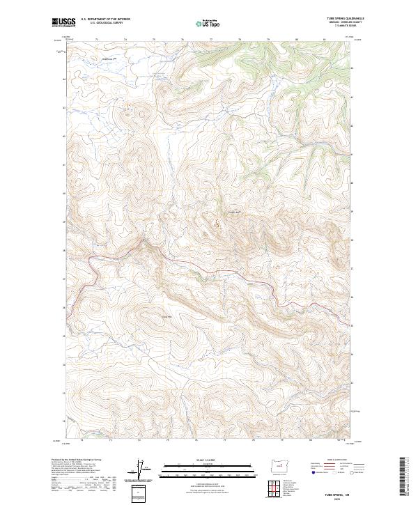
1990 Tubb Spring
Wheeler County, OR
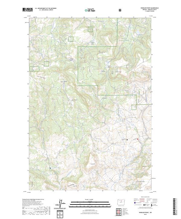
1990 Wheeler Point
Wheeler County, OR
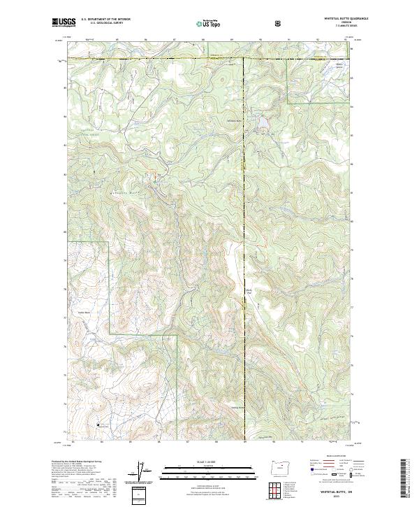
1990 Whitetail Butte
Wheeler County, OR
1992 Antone
Wheeler County, OR
1992 Day Basin
Wheeler County, OR
1992 Derr Meadows
Wheeler County, OR
1992 Lawson Mountain
Wheeler County, OR
1992 Mt. Pisgah
Wheeler County, OR

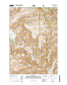
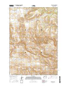
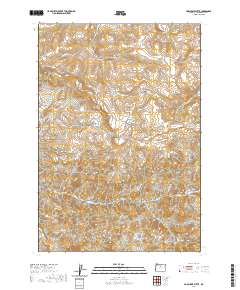
1992 Ochoco Butte
Wheeler County, OR
1992 Peterson Point
Wheeler County, OR
1992 Six Corners
Wheeler County, OR
1992 Wolf Mountain
Wheeler County, OR
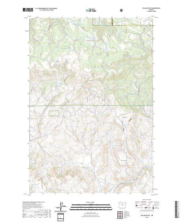
1995 Collins Butte
Wheeler County, OR
1995 Kimberly
Wheeler County, OR
1995 Wheeler Point
Wheeler County, OR
1995 Whitetail Butte
Wheeler County, OR
2011 Antone
Wheeler County, OR
2011 Clarno
Wheeler County, OR
2011 Collins Butte
Wheeler County, OR
2011 Day Basin
Wheeler County, OR
2011 Derr Meadows
Wheeler County, OR
2011 Fossil South
Wheeler County, OR

2011 Frog Hollow
Wheeler County, OR
2011 Jennies Peak
Wheeler County, OR
2011 Johnson Heights
Wheeler County, OR
2011 Keyes Mountain
Wheeler County, OR
2011 Kimberly
Wheeler County, OR
2011 Kinzua
Wheeler County, OR
2011 Lawson Mountain
Wheeler County, OR
2011 Masiker Mountain
Wheeler County, OR
2011 Mount Misery
Wheeler County, OR
2011 Mount Pisgah
Wheeler County, OR
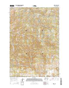
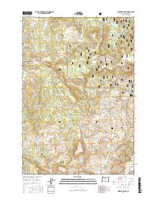
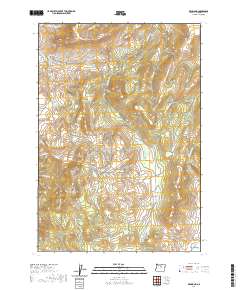
2011 Ochoco Butte
Wheeler County, OR
2011 Painted Hills
Wheeler County, OR
2011 Peterson Point
Wheeler County, OR
2011 Picture Gorge West
Wheeler County, OR
2011 Porcupine Butte
Wheeler County, OR
2011 Richmond
Wheeler County, OR
2011 Rowe Creek
Wheeler County, OR
2011 Service Creek
Wheeler County, OR
2011 Six Corners
Wheeler County, OR
2011 Sutton Mountain
Wheeler County, OR
2011 Toney Butte
Wheeler County, OR
2011 Tubb Spring
Wheeler County, OR
2011 Wheeler Point
Wheeler County, OR
2011 Whitetail Butte
Wheeler County, OR
2011 Wolf Mountain
Wheeler County, OR
2014 Antone
Wheeler County, OR
2014 Clarno
Wheeler County, OR
2014 Collins Butte
Wheeler County, OR
2014 Day Basin
Wheeler County, OR
2014 Derr Meadows
Wheeler County, OR
2014 Fossil South
Wheeler County, OR
2014 Frog Hollow
Wheeler County, OR
2014 Jennies Peak
Wheeler County, OR

2014 Johnson Heights
Wheeler County, OR
2014 Keyes Mountain
Wheeler County, OR
2014 Kimberly
Wheeler County, OR
2014 Kinzua
Wheeler County, OR
2014 Lawson Mountain
Wheeler County, OR
2014 Masiker Mountain
Wheeler County, OR
2014 Mount Misery
Wheeler County, OR
2014 Mount Pisgah
Wheeler County, OR
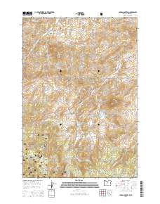
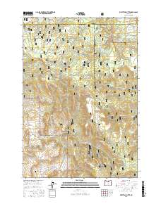
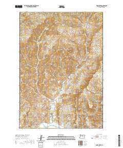
2014 Ochoco Butte
Wheeler County, OR
2014 Painted Hills
Wheeler County, OR
2014 Peterson Point
Wheeler County, OR
2014 Picture Gorge West
Wheeler County, OR
2014 Porcupine Butte
Wheeler County, OR
2014 Richmond
Wheeler County, OR

2014 Rowe Creek
Wheeler County, OR
2014 Service Creek
Wheeler County, OR
2014 Six Corners
Wheeler County, OR
2014 Sutton Mountain
Wheeler County, OR
2014 Toney Butte
Wheeler County, OR
2014 Tubb Spring
Wheeler County, OR
2014 Wheeler Point
Wheeler County, OR
2014 Whitetail Butte
Wheeler County, OR
2014 Wolf Mountain
Wheeler County, OR
2017 Antone
Wheeler County, OR
2017 Clarno
Wheeler County, OR
2017 Collins Butte
Wheeler County, OR
2017 Day Basin
Wheeler County, OR
2017 Derr Meadows
Wheeler County, OR
2017 Fossil South
Wheeler County, OR
2017 Frog Hollow
Wheeler County, OR
2017 Jennies Peak
Wheeler County, OR
2017 Johnson Heights
Wheeler County, OR
2017 Keyes Mountain
Wheeler County, OR
2017 Kimberly
Wheeler County, OR

2017 Kinzua
Wheeler County, OR
2017 Lawson Mountain
Wheeler County, OR
2017 Masiker Mountain
Wheeler County, OR
2017 Mount Misery
Wheeler County, OR
2017 Mount Pisgah
Wheeler County, OR
2017 Ochoco Butte
Wheeler County, OR

2017 Painted Hills
Wheeler County, OR

2017 Peterson Point
Wheeler County, OR
2017 Picture Gorge West
Wheeler County, OR
2017 Porcupine Butte
Wheeler County, OR
2017 Richmond
Wheeler County, OR
2017 Rowe Creek
Wheeler County, OR
2017 Service Creek
Wheeler County, OR
2017 Six Corners
Wheeler County, OR
2017 Sutton Mountain
Wheeler County, OR
2017 Toney Butte
Wheeler County, OR
2017 Tubb Spring
Wheeler County, OR
2017 Wheeler Point
Wheeler County, OR
2017 Whitetail Butte
Wheeler County, OR
2017 Wolf Mountain
Wheeler County, OR
2020 Antone
Wheeler County, OR
2020 Clarno
Wheeler County, OR
2020 Collins Butte
Wheeler County, OR
2020 Day Basin
Wheeler County, OR
2020 Derr Meadows
Wheeler County, OR
2020 Fossil South
Wheeler County, OR
2020 Frog Hollow
Wheeler County, OR
2020 Jennies Peak
Wheeler County, OR
2020 Johnson Heights
Wheeler County, OR
2020 Keyes Mountain
Wheeler County, OR
2020 Kimberly
Wheeler County, OR
2020 Kinzua
Wheeler County, OR
2020 Lawson Mountain
Wheeler County, OR
2020 Masiker Mountain
Wheeler County, OR
2020 Mount Misery
Wheeler County, OR
2020 Mount Pisgah
Wheeler County, OR
2020 Ochoco Butte
Wheeler County, OR
2020 Painted Hills
Wheeler County, OR
2020 Peterson Point
Wheeler County, OR
2020 Picture Gorge West
Wheeler County, OR
2020 Porcupine Butte
Wheeler County, OR
2020 Richmond
Wheeler County, OR
2020 Rowe Creek
Wheeler County, OR
2020 Service Creek
Wheeler County, OR
2020 Six Corners
Wheeler County, OR
2020 Sutton Mountain
Wheeler County, OR
2020 Toney Butte
Wheeler County, OR
2020 Tubb Spring
Wheeler County, OR
2020 Wheeler Point
Wheeler County, OR
2020 Whitetail Butte
Wheeler County, OR
2020 Wolf Mountain
Wheeler County, OR
2023 Clarno
Wheeler County, OR
2023 Collins Butte
Wheeler County, OR
2023 Derr Meadows
Wheeler County, OR
2023 Fossil South
Wheeler County, OR
2023 Frog Hollow
Wheeler County, OR
2023 Johnson Heights
Wheeler County, OR
2023 Keyes Mountain
Wheeler County, OR
2023 Kimberly
Wheeler County, OR
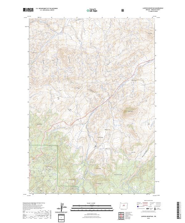
2023 Lawson Mountain
Wheeler County, OR
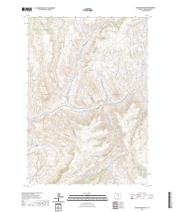
2023 Masiker Mountain
Wheeler County, OR
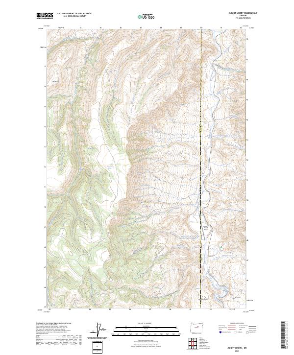
2023 Mount Misery
Wheeler County, OR
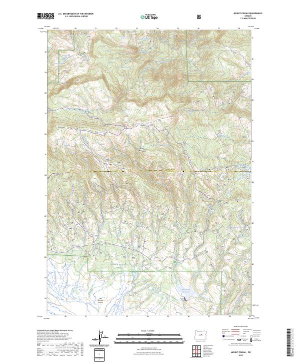
2023 Mount Pisgah
Wheeler County, OR
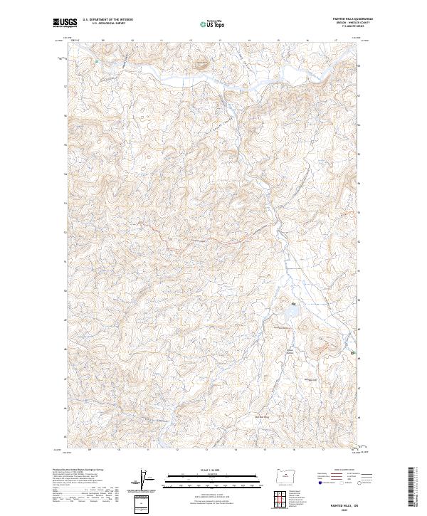
2023 Painted Hills
Wheeler County, OR
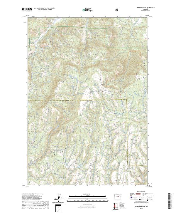
2023 Peterson Point
Wheeler County, OR
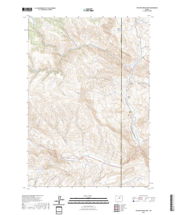
2023 Picture Gorge West
Wheeler County, OR
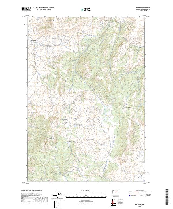
2023 Richmond
Wheeler County, OR
2023 Rowe Creek
Wheeler County, OR
2023 Six Corners
Wheeler County, OR
2023 Tubb Spring
Wheeler County, OR
2023 Wheeler Point
Wheeler County, OR
2023 Whitetail Butte
Wheeler County, OR
2023 Wolf Mountain
Wheeler County, OR
2024 Antone
Wheeler County, OR
2024 Day Basin
Wheeler County, OR
2024 Jennies Peak
Wheeler County, OR
2024 Kinzua
Wheeler County, OR
2024 Ochoco Butte
Wheeler County, OR
2024 Porcupine Butte
Wheeler County, OR
2024 Rowe Creek
Wheeler County, OR
2024 Service Creek
Wheeler County, OR
2024 Sutton Mountain
Wheeler County, OR
2024 Toney Butte
Wheeler County, OR