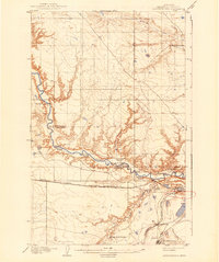
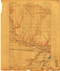
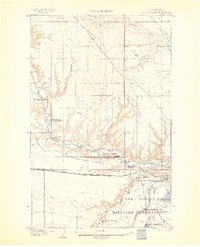
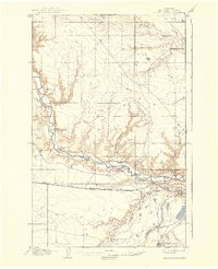
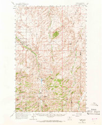
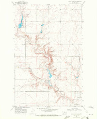
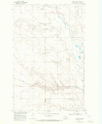
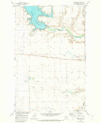
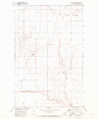
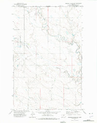
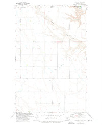
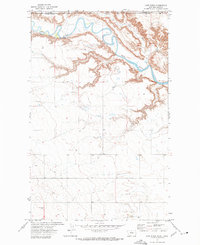
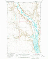
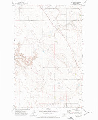
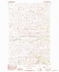
1904 Map of Assinniboine
USGS Topo · Published 1941This historical map portrays the area of Assinniboine in 1904, primarily covering Hill County. Featuring a scale of 1:62500, this map provides a highly detailed snapshot of the terrain, roads, buildings, counties, and historical landmarks in the Assinniboine region at the time. Published in 1941, it is one of 4 known editions of this map due to revisions or reprints.
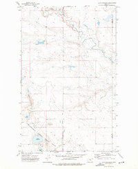
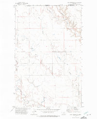
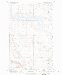
Map Details
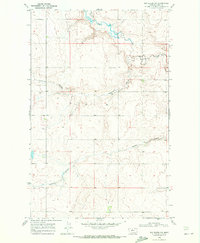
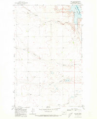
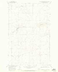
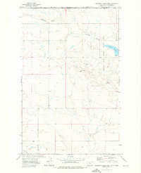
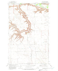
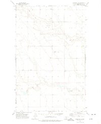
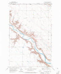
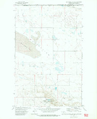
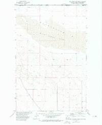
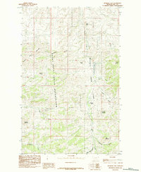
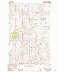
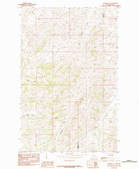
Editions of this 1904 Assinniboine Map
4 editions found
Historical Maps of Fresno Through Time
57 maps found
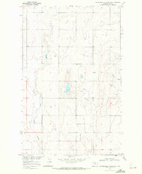
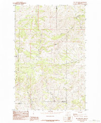
1904 Assinniboine
Hill County, MT

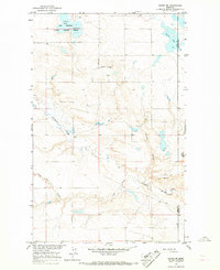
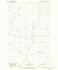
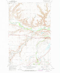
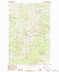
1904 Boxelder
Hill County, MT

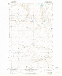
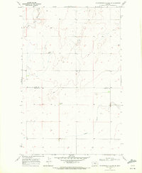
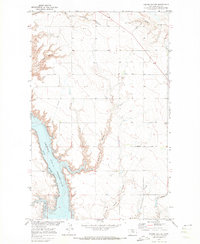
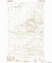
1906 Boxelder
Hill County, MT

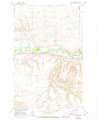
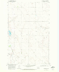
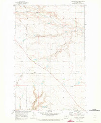
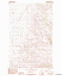
1912 Thibedeau Lake
Hill County, MT

1919 Alma
Hill County, MT
1959 Shambo
Hill County, MT
1964 Havre NE
Hill County, MT
1964 Havre NW
Hill County, MT
1964 Havre SE
Hill County, MT
1969 Bailey Reservoir
Hill County, MT
1969 Box Elder NW
Hill County, MT
1969 Dry Lake
Hill County, MT
1969 Fourteenmile Coulee NE
Hill County, MT
1969 Fourteenmile Coulee NW
Hill County, MT
1969 Fourteenmile Coulee SE
Hill County, MT
1969 Fourteenmile Coulee SW
Hill County, MT
1969 Gildford NE
Hill County, MT
1969 Gildford NW
Hill County, MT
1969 Lonesome Lake
Hill County, MT
1969 Sage Lake
Hill County, MT
1970 Een School
Hill County, MT
1970 Fresno Dam
Hill County, MT
1970 Herron Park
Hill County, MT
1970 Kiehns Coulee
Hill County, MT
1970 Quigley Coulee
Hill County, MT
1970 Rocky Coulee
Hill County, MT
1970 Rocky Coulee SE
Hill County, MT
1970 Rocky Coulee SW
Hill County, MT
1972 Cottonwood
Hill County, MT
1972 Creedman Coulee East
Hill County, MT
1972 Creedman Coulee West
Hill County, MT
1972 Goldstone
Hill County, MT
1972 Goldstone SW
Hill County, MT
1972 Laird Lake
Hill County, MT
1972 Lake Thibadeau
Hill County, MT
1972 Lake Thibadeau NE
Hill County, MT
1972 Lake Thibadeau SW
Hill County, MT
1972 Lost River
Hill County, MT
1972 Lost River NE
Hill County, MT
1972 Mc Kinnsey Reservoir East
Hill County, MT
1972 Mc Kinnsey Reservoir West
Hill County, MT
1972 Ninemile Coulee East
Hill County, MT
1972 Ninemile Coulee West
Hill County, MT
1972 Rudyard NE
Hill County, MT
1972 Rudyard NW
Hill County, MT
1972 St. Johns
Hill County, MT
1972 Wild Horse Lake East
Hill County, MT
1972 Wild Horse Lake West
Hill County, MT
1984 Bearpaw Lake
Hill County, MT
1984 Big John Butte
Hill County, MT
1984 Bowery Peak
Hill County, MT

1984 Cement Hill
Hill County, MT
1984 Cowan Reservoir
Hill County, MT
1984 Laredo NE
Hill County, MT
1984 Rocky Boy
Hill County, MT
1984 Shambo NE
Hill County, MT
1984 Shambo SE
Hill County, MT