
2022 Map of Browns Cove
USGS Topo · Published 2022About this map
Shenandoah National Park defines the western high ground of this landscape, where the Appalachian National Scenic Trail and Skyline Dr follow the ridgeline of the Blue Ridge. Below these heights, the land transitions into the fertile valleys of Browns Cove and Blackwells Hollow. Settlements like Mountfair and Doylesville are situated along the Doyles River, anchored by historic agricultural sites such as Deep Rock Farm and Mount Air Farm. The mapping shows a distinct pattern of rural life where family-named features like Martins Mtn and Gibson Mtn overlook the drainage of the Moormans River. Genealogists may find particular value in the locations of the Mount Carmel Cem, Sandridge Cem, and Tate Cem, which serve as quiet markers of the community's lineage among the hollows of Wildcat Hollow and Sugar Hollow.
Find a feature on this map
88 named features on this map. Tap any name to fly to it.
Don’t see what you’re looking for? This feature index may not catch every label — zoom into the map to look around manually.
Map Details
Editions of this 2022 Browns Cove Map
This is the sole edition of this map. No revisions or reprints were ever made.
Historical Maps of Mountfair Through Time
43 maps found

1929 Covesville
Albemarle County, VA

1931 University
Albemarle County, VA

1935 Charlottesville
Albemarle County, VA

1935 Covesville
Albemarle County, VA

1935 University
Albemarle County, VA

1939 Charlottesville
Albemarle County, VA

1945 Covesville
Albemarle County, VA

1949 Charlottesville
Albemarle County, VA

1949 Charlottesville
Albemarle County, VA

1956 Charlottesville
Albemarle County, VA

1964 Charlottesville East
Albemarle County, VA

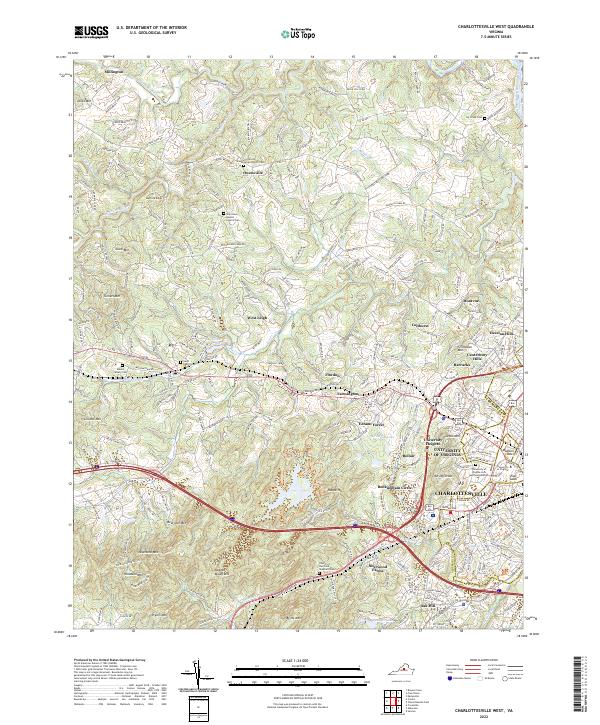
1964 Charlottesville West
Albemarle County, VA

1964 Waynesboro East
Albemarle County, VA

1965 Browns Cove
Albemarle County, VA

1967 Alberene
Albemarle County, VA

1967 Covesville
Albemarle County, VA

1967 Simeon
Albemarle County, VA

1972 Charlottesville East
Albemarle County, VA

1972 Charlottesville West
Albemarle County, VA

1972 Waynesboro East
Albemarle County, VA

1973 Charlottesville East
Albemarle County, VA

1973 Charlottesville West
Albemarle County, VA

1973 Waynesboro East
Albemarle County, VA

1977 Browns Cove
Albemarle County, VA

1977 Charlottesville East
Albemarle County, VA

1977 Charlottesville West
Albemarle County, VA

1977 Waynesboro East
Albemarle County, VA

1979 Alberene
Albemarle County, VA

1979 Covesville
Albemarle County, VA

1979 Simeon
Albemarle County, VA

1986 Charlottesville
Albemarle County, VA

1997 Browns Cove
Albemarle County, VA

1997 Charlottesville East
Albemarle County, VA

1997 Charlottesville West
Albemarle County, VA

1997 Waynesboro East
Albemarle County, VA

1999 Covesville
Albemarle County, VA

2022 Alberene
Albemarle County, VA
2022 Browns Cove
Albemarle County, VA

2022 Charlottesville East
Albemarle County, VA
2022 Charlottesville West
Albemarle County, VA

2022 Covesville
Albemarle County, VA

2022 Simeon
Albemarle County, VA

2022 Waynesboro East
Albemarle County, VA