
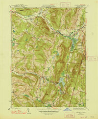
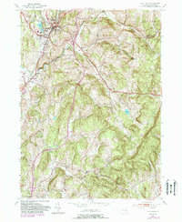
2023 Map of Hillsdale
USGS Topo · Published 2023About this map
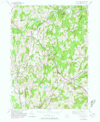
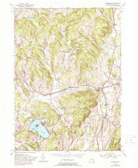
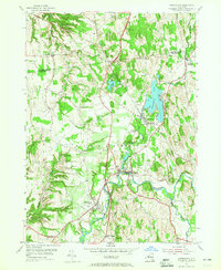
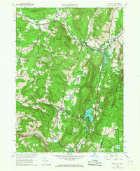
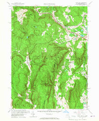
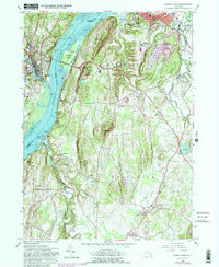
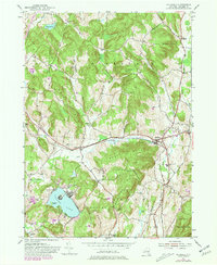
The rolling hills of eastern Columbia County are defined by the winding course of the Roeliff Jansen Kill and the established settlements along the central valleys. This recent survey captures the modern landscape of Craryville and East Hillsdale, where historic family name markers like Hillsdale Cem and Williams Cem anchor the community's genealogy. To the south, the water-oriented developments of Copake Lake and Taconic Shores contrast with the higher elevations of Lyon Mountain and Texas Hill. Local landmarks like the B Flat Farm Airport and Krum Church sit among a dense network of country roads, including the aptly named Pumpkin Hollow and Shepard Hollow. The presence of Railroad Ln in the center of the sheet hints at the transport corridors that once shaped these rural hamlets, while numerous small cemeteries provide a detailed map for those tracing local family roots in the Hudson Valley upland.
Find a feature on this map
121 named features on this map. Tap any name to fly to it.
Don’t see what you’re looking for? This feature index may not catch every label — zoom into the map to look around manually.
Map Details
Editions of this 2023 Hillsdale Map
This is the sole edition of this map. No revisions or reprints were ever made.
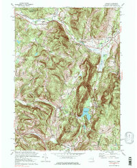
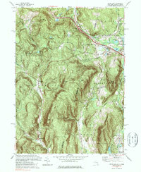
Historical Maps of East Hillsdale Through Time
42 maps found
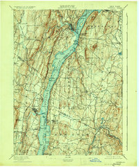
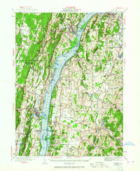
1895 Catskill
Columbia County, NY

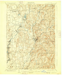
1902 Copake
Columbia County, NY
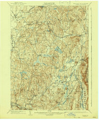
1903 Kinderhook
Columbia County, NY
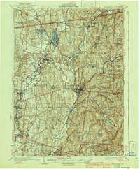
1904 Copake
Columbia County, NY
1933 Kinderhook
Columbia County, NY
1934 Catskill
Columbia County, NY

1938 Catskill
Columbia County, NY

1941 Catskill
Columbia County, NY
1944 State Line
Columbia County, NY
1946 Canaan
Columbia County, NY

1946 State Line
Columbia County, NY
1947 Canaan
Columbia County, NY
1947 Claverack
Columbia County, NY
1948 Ancram
Columbia County, NY

1949 Kinderhook
Columbia County, NY
1953 Chatham
Columbia County, NY
1953 Copake
Columbia County, NY
1953 East Chatham
Columbia County, NY
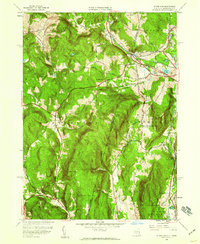
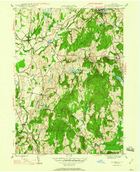
1953 Hillsdale
Columbia County, NY
1953 Kinderhook
Columbia County, NY
1959 Canaan
Columbia County, NY
1959 State Line
Columbia County, NY
1960 Ancram
Columbia County, NY
1960 Claverack
Columbia County, NY
1963 Clermont
Columbia County, NY
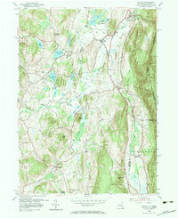
1963 Hudson South
Columbia County, NY
1973 Canaan
Columbia County, NY
1973 State Line
Columbia County, NY
1975 Canaan
Columbia County, NY
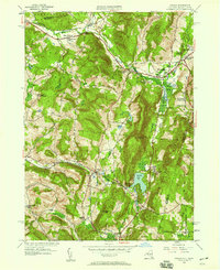
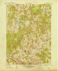
1980 Hillsdale
Columbia County, NY
1980 Hudson South
Columbia County, NY
1980 Kinderhook
Columbia County, NY

2023 Ancram
Columbia County, NY

2023 Canaan
Columbia County, NY

2023 Chatham
Columbia County, NY

2023 Claverack
Columbia County, NY

2023 Clermont
Columbia County, NY

2023 Copake
Columbia County, NY

2023 East Chatham
Columbia County, NY
2023 Hillsdale
Columbia County, NY

2023 Hudson South
Columbia County, NY

2023 Kinderhook
Columbia County, NY