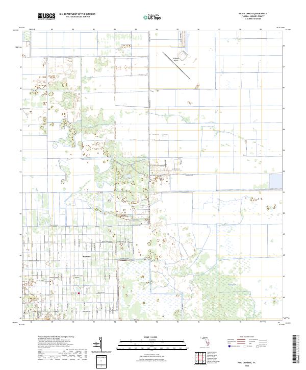
2024 Map of Hog Cypress
USGS Topo · Published 2024About this map
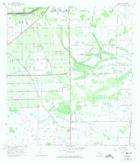
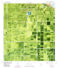
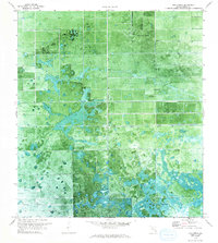
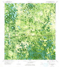
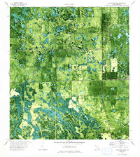
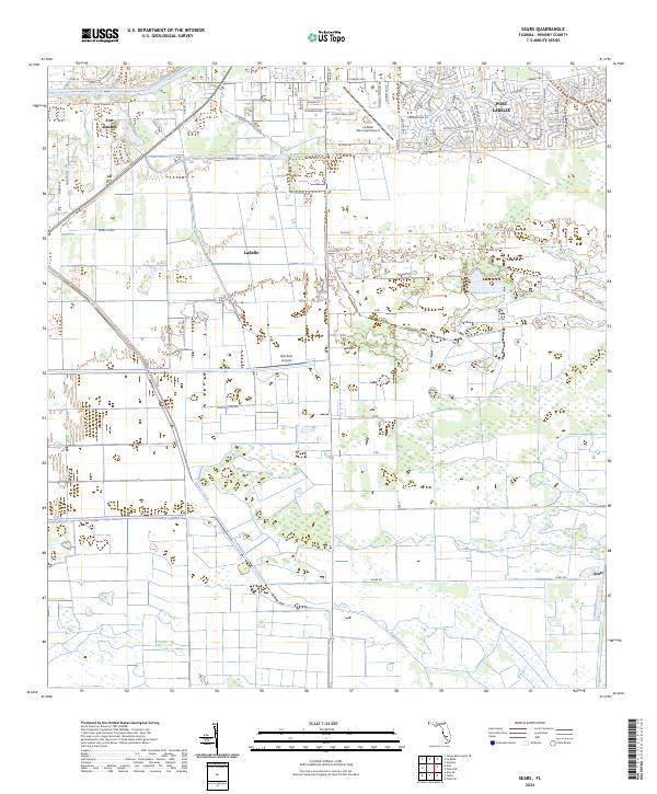
Montura stands as the primary residential hub in this corner of Hendry County, defined by a unique and expansive grid of rural avenues and streets. The settlement's layout is characterized by nature-themed corridors such as Bald Cypress Ave and Pine-Cone-Ave, alongside recreationally named routes like Hunting Club Ave and Horse Club Ave. This dense residential platting contrasts sharply with the surrounding landscape of the Hog Cypress terrain and the strictly linear drainage of the L-1 Canal. To the north, the Airglades Airport serves as a distinct landmark, connected to the broader region by Airglades Blvd and Flagpole Rd. The map illustrates a transitional landscape where planned rural development meets the traditional wetland and cypress environments of the Florida interior.
Find a feature on this map
73 named features on this map. Tap any name to fly to it.
Don’t see what you’re looking for? This feature index may not catch every label — zoom into the map to look around manually.
Map Details
Editions of this 2024 Hog Cypress Map
This is the sole edition of this map. No revisions or reprints were ever made.
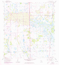
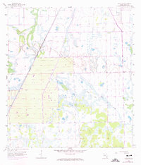
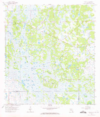
Historical Maps of Montura Through Time
33 maps found
1958 Felda
Hendry County, FL
1958 Felda NE
Hendry County, FL
1958 Felda SE
Hendry County, FL
1958 Sears
Hendry County, FL
1970 Clewiston South
Hendry County, FL
1970 Devils Garden Slough
Hendry County, FL
1970 Grassy Marsh
Hendry County, FL
1970 Hog Cypress
Hendry County, FL
1970 Lake Harbor SW
Hendry County, FL
1971 Graham Marsh
Hendry County, FL
1974 Cow Bone Island
Hendry County, FL
1974 Crows Nest Hammock
Hendry County, FL
1974 Doctors Hammock
Hendry County, FL
1974 Goddens Strand
Hendry County, FL
1974 Little Cypress Swamp
Hendry County, FL
1974 Rocky Lake Strand
Hendry County, FL
1994 Lake Harbor SW
Hendry County, FL
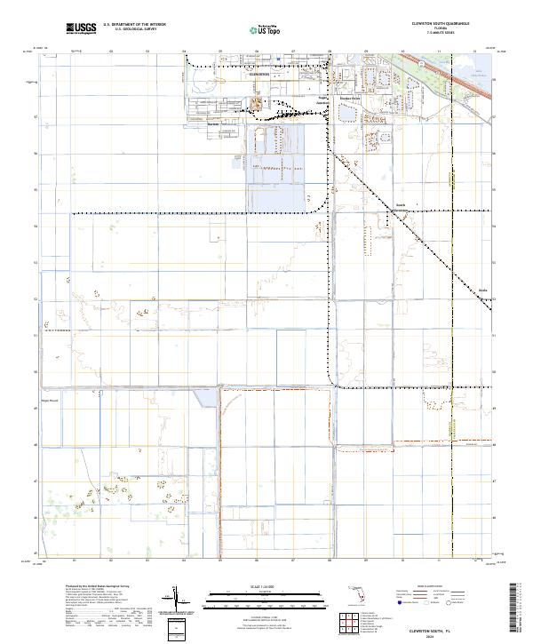
2024 Clewiston South
Hendry County, FL
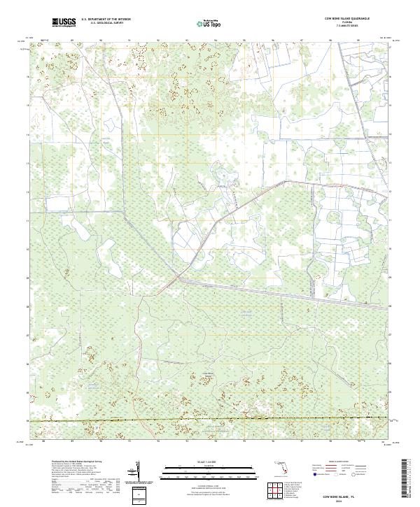
2024 Cow Bone Island
Hendry County, FL
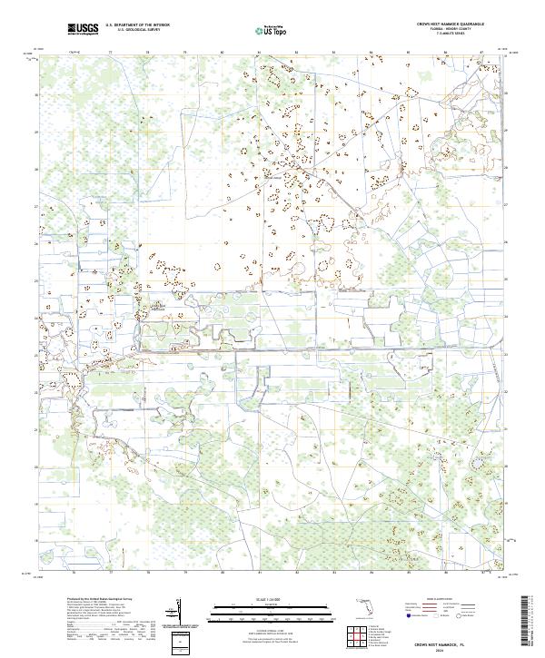
2024 Crows Nest Hammock
Hendry County, FL
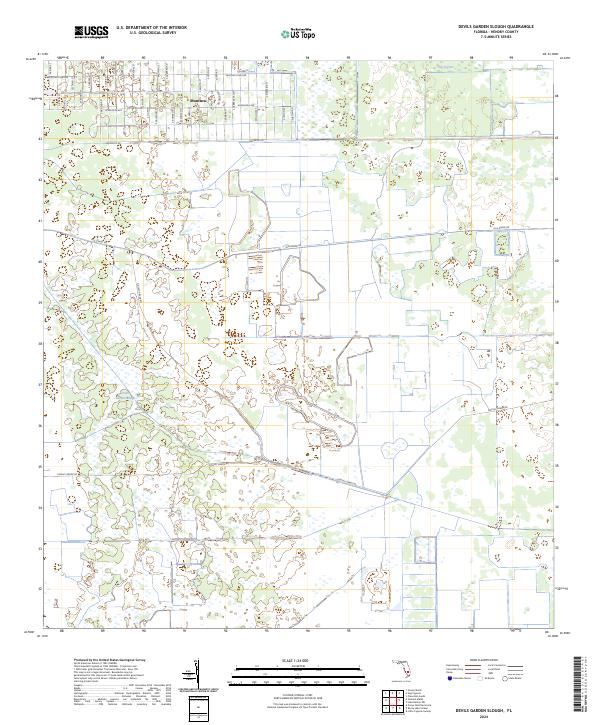
2024 Devils Garden Slough
Hendry County, FL
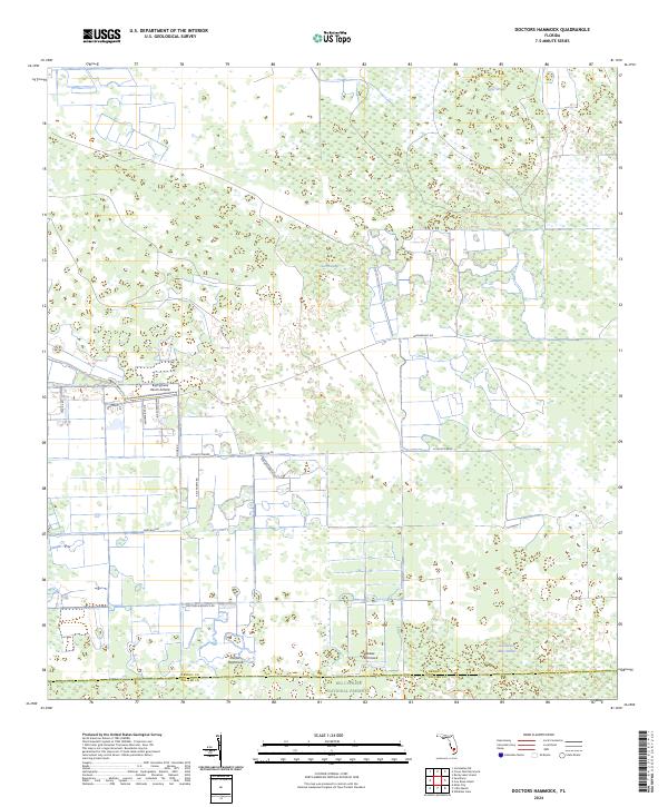
2024 Doctors Hammock
Hendry County, FL
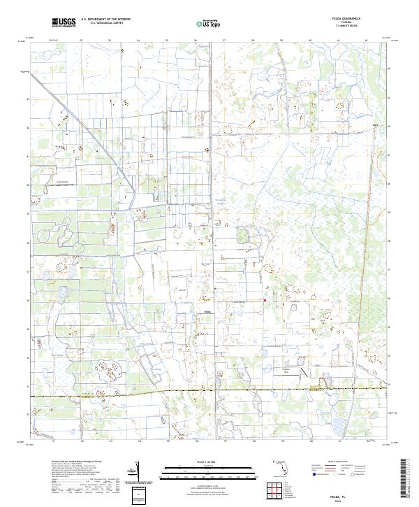
2024 Felda
Hendry County, FL
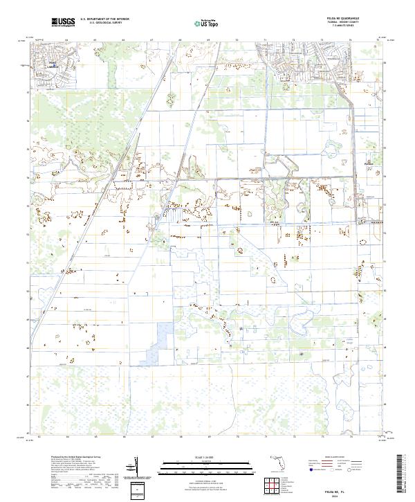
2024 Felda NE
Hendry County, FL
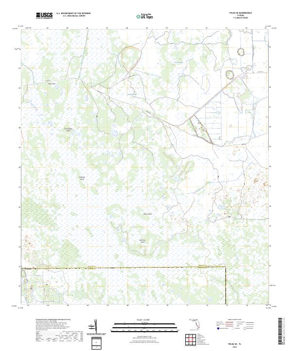
2024 Felda SE
Hendry County, FL
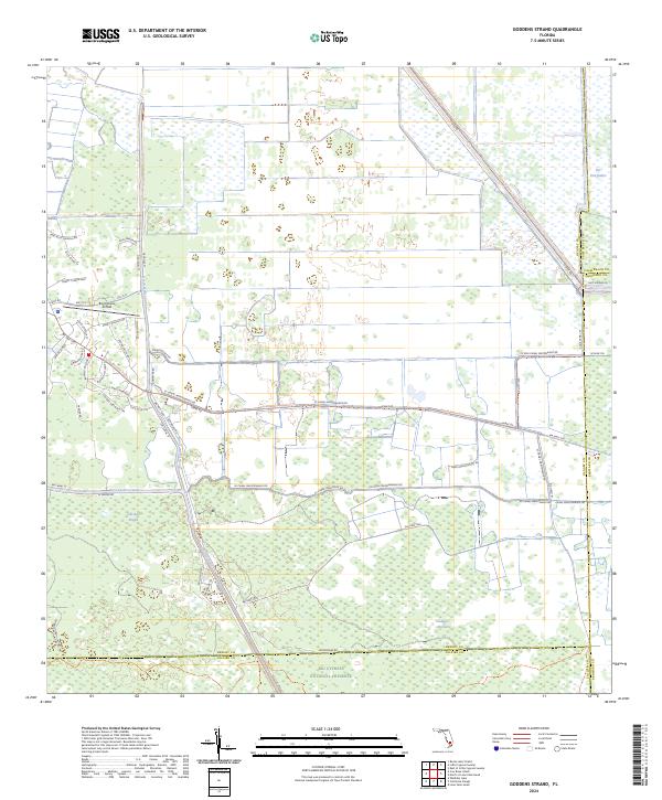
2024 Goddens Strand
Hendry County, FL
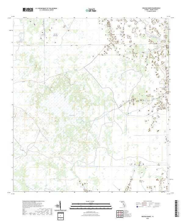
2024 Graham Marsh
Hendry County, FL
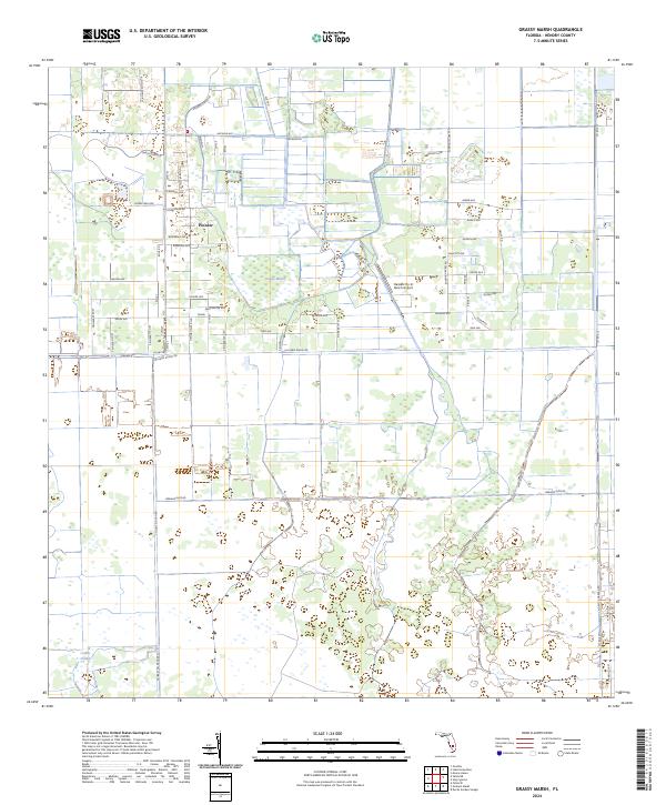
2024 Grassy Marsh
Hendry County, FL
2024 Hog Cypress
Hendry County, FL
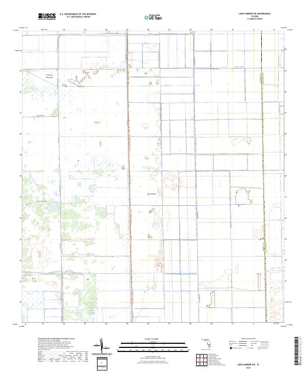
2024 Lake Harbor SW
Hendry County, FL
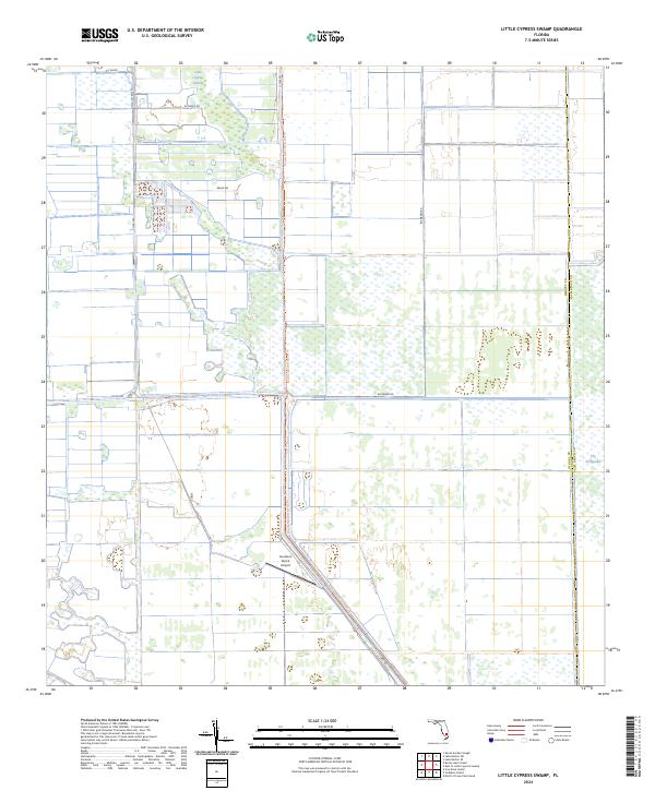
2024 Little Cypress Swamp
Hendry County, FL
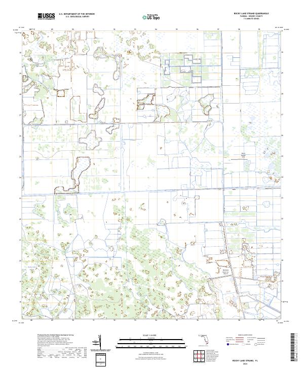
2024 Rocky Lake Strand
Hendry County, FL
2024 Sears
Hendry County, FL