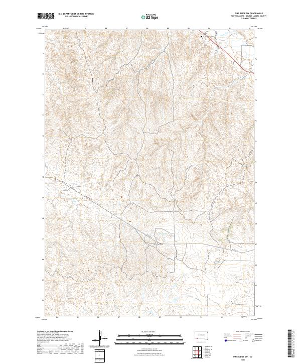
2021 Map of Pine Ridge SW
USGS Topo · Published 2021About this map
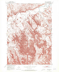
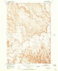
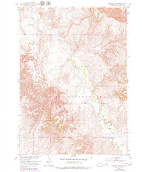
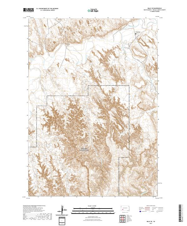
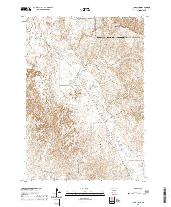
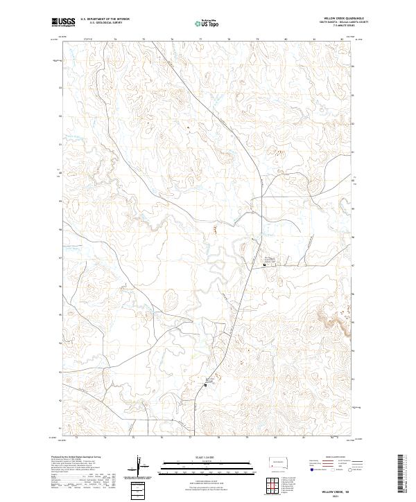
Tashunke - Ko - Ki - Pa - Pi Cem sits near the northern boundary of this Pine Ridge landscape, an area characterized by a complex drainage network feeding into White Clay Cr. The terrain is defined by the headwaters and drainages of Janis Cr, which winds through the southern and central portions of the quadrangle. Transportation across these Oglala Lakota County lands relies on a network of Bureau of Indian Affairs routes and named trails, including Slim Buttes Rd and Buffalo Pasture Rd. The presence of the Oglala Fire Trl suggests the management of this open country, where the land is divided into townships including t36n r46w and t35n r45w. Local historians can trace the connection between these rural road systems and the specific creek valleys that have long shaped movement through the region.
Find a feature on this map
13 named features on this map. Tap any name to fly to it.
Don’t see what you’re looking for? This feature index may not catch every label — zoom into the map to look around manually.
Map Details
Editions of this 2021 Pine Ridge SW Map
This is the sole edition of this map. No revisions or reprints were ever made.
Historical Maps of Pine Ridge Through Time
66 maps found

1950 Bouquet Table
Oglala Lakota County, SD
1950 Conata
Oglala Lakota County, SD
1950 Conata SW
Oglala Lakota County, SD
1950 Cuny Table East
Oglala Lakota County, SD
1950 Imlay SE
Oglala Lakota County, SD
1950 Imlay SW
Oglala Lakota County, SD

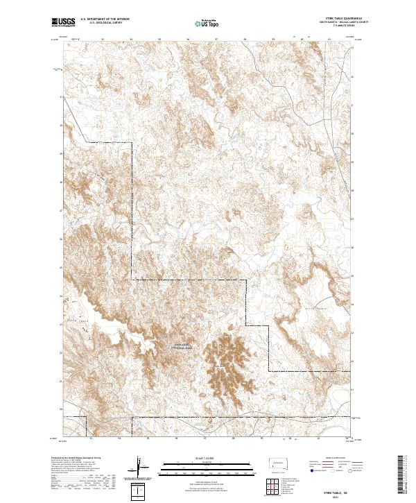
1950 Stirk Table
Oglala Lakota County, SD
1951 Cuny Table West
Oglala Lakota County, SD
1951 Red Shirt SW
Oglala Lakota County, SD

1951 Rockyford NW
Oglala Lakota County, SD

1951 Rockyford
Oglala Lakota County, SD

1951 Rockyford SE
Oglala Lakota County, SD

1951 Rockyford SW
Oglala Lakota County, SD
1951 Sharps Corner
Oglala Lakota County, SD

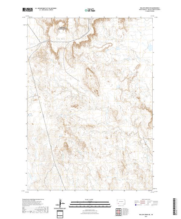
1951 Willow Creek NE
Oglala Lakota County, SD

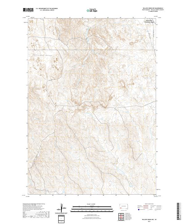
1951 Willow Creek NW
Oglala Lakota County, SD

1952 Bouquet Table
Oglala Lakota County, SD

1952 Conata
Oglala Lakota County, SD

1967 Denby
Oglala Lakota County, SD

1967 Manderson
Oglala Lakota County, SD
1967 Manderson SW
Oglala Lakota County, SD

1967 Pine Ridge NE
Oglala Lakota County, SD
1967 Pine Ridge SW
Oglala Lakota County, SD

1967 Slim Butte NE
Oglala Lakota County, SD

1967 Slim Butte NW
Oglala Lakota County, SD

1967 Slim Butte
Oglala Lakota County, SD
1967 Slim Butte SW
Oglala Lakota County, SD

1967 Willow Creek
Oglala Lakota County, SD

1967 Willow Creek SW
Oglala Lakota County, SD

1981 Evergreen NE
Oglala Lakota County, SD

1981 Evergreen
Oglala Lakota County, SD

1981 Wakpamani
Oglala Lakota County, SD

1981 Yellow Bear Camp
Oglala Lakota County, SD

2021 Batesland NW
Oglala Lakota County, SD
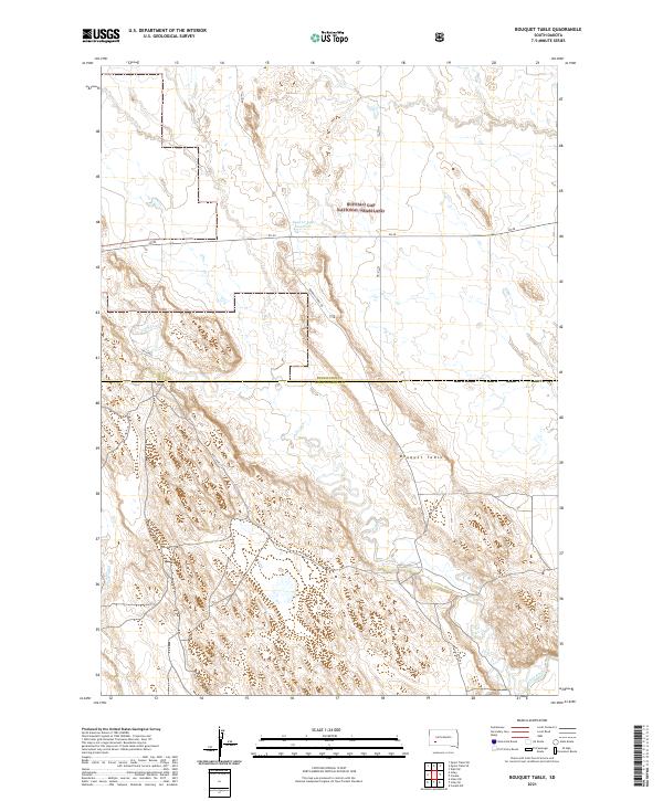
2021 Bouquet Table
Oglala Lakota County, SD

2021 Conata
Oglala Lakota County, SD
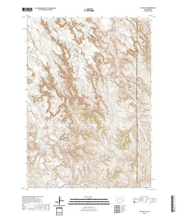
2021 Conata SW
Oglala Lakota County, SD
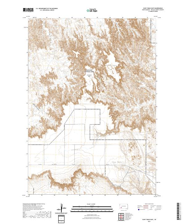
2021 Cuny Table East
Oglala Lakota County, SD
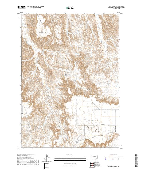
2021 Cuny Table West
Oglala Lakota County, SD
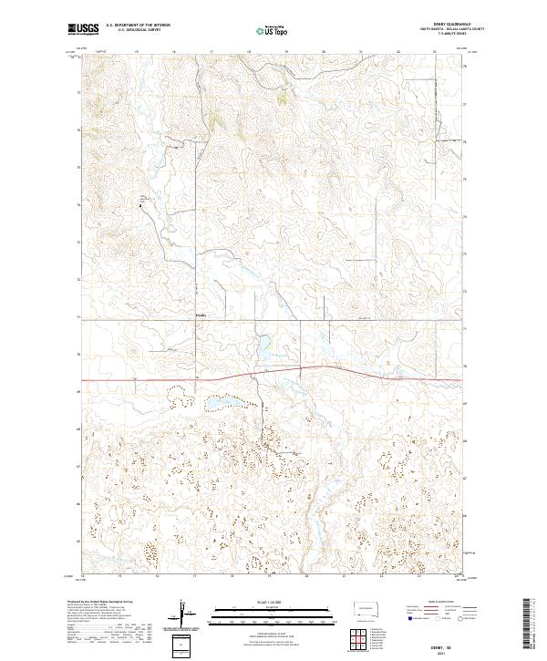
2021 Denby
Oglala Lakota County, SD
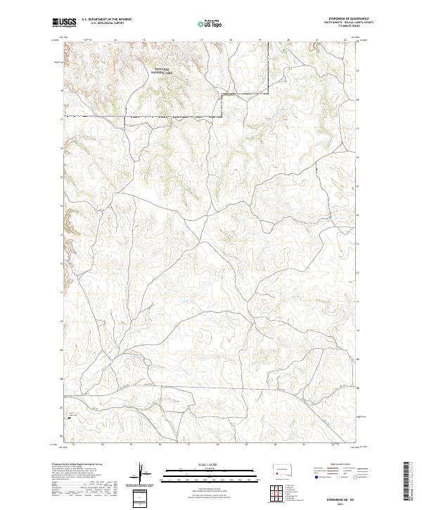
2021 Evergreen NE
Oglala Lakota County, SD
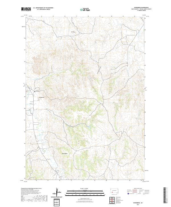
2021 Evergreen
Oglala Lakota County, SD
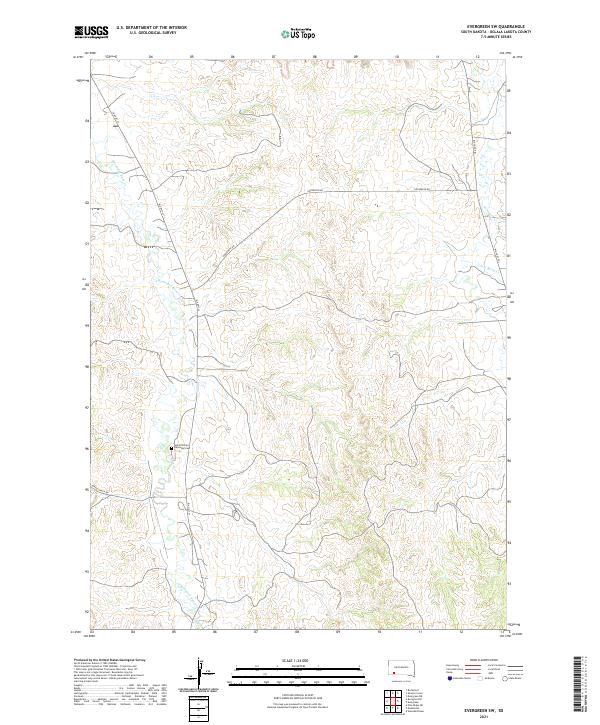
2021 Evergreen SW
Oglala Lakota County, SD
2021 Imlay SE
Oglala Lakota County, SD
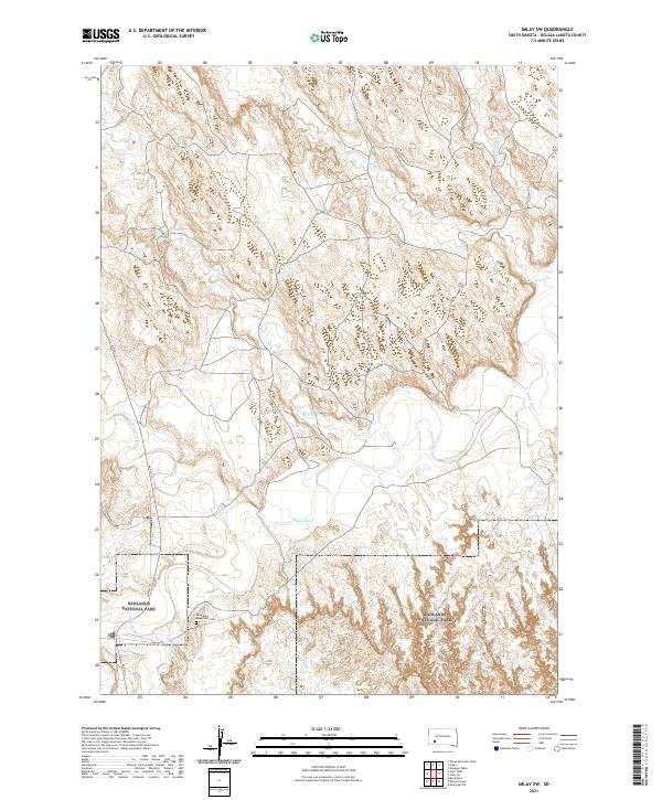
2021 Imlay SW
Oglala Lakota County, SD

2021 Manderson
Oglala Lakota County, SD
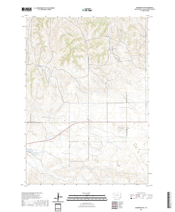
2021 Manderson SW
Oglala Lakota County, SD

2021 Pine Ridge NE
Oglala Lakota County, SD
2021 Pine Ridge SW
Oglala Lakota County, SD
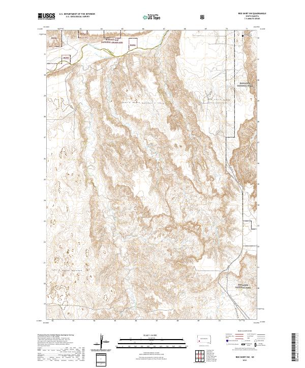
2021 Red Shirt SW
Oglala Lakota County, SD
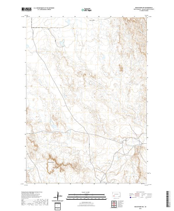
2021 Rockyford NW
Oglala Lakota County, SD
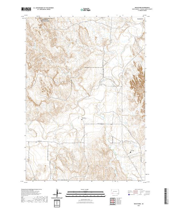
2021 Rockyford
Oglala Lakota County, SD
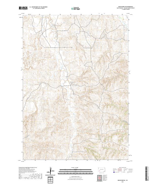
2021 Rockyford SE
Oglala Lakota County, SD
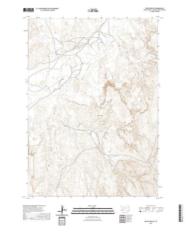
2021 Rockyford SW
Oglala Lakota County, SD
2021 Sharps Corner
Oglala Lakota County, SD
2021 Slim Butte NE
Oglala Lakota County, SD
2021 Slim Butte NW
Oglala Lakota County, SD
2021 Slim Butte
Oglala Lakota County, SD
2021 Slim Butte SW
Oglala Lakota County, SD
2021 Stirk Table
Oglala Lakota County, SD

2021 Wakpamani
Oglala Lakota County, SD
2021 Willow Creek NE
Oglala Lakota County, SD
2021 Willow Creek NW
Oglala Lakota County, SD
2021 Willow Creek
Oglala Lakota County, SD
2021 Willow Creek SW
Oglala Lakota County, SD
2021 Yellow Bear Camp SW
Oglala Lakota County, SD