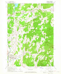
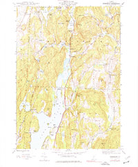
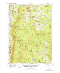
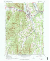
1964 Map of Poultney
USGS Topo · Published 1965About this map
The Delaware and Hudson railroad corridor anchors this mid-century landscape, linking the slate-producing region of western Vermont with upstate New York. The map captures a transition point between industry and education, featuring both the sprawling quarries near Blissville and the academic campuses of Castleton State College and Green Mtn College. Numerous family and community burial grounds, such as Culver Cem, Fifield Cem, and Hillside Cem, are scattered across the hills, offering vital touchpoints for genealogical research.
Find a feature on this map
49 named features on this map. Tap any name to fly to it.
Don’t see what you’re looking for? This feature index may not catch every label — zoom into the map to look around manually.
Map Details
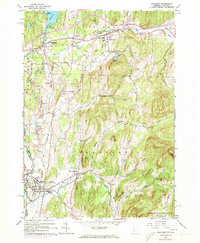
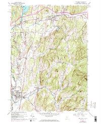
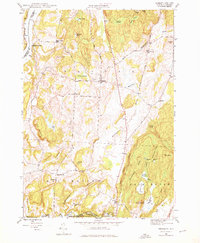
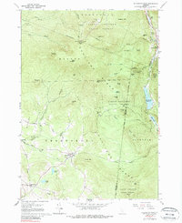
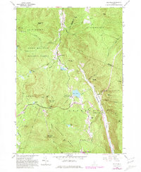
Editions of this 1964 Poultney Map
4 editions found
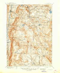
Historical Maps of East Poultney Historic District Through Time
39 maps found
1893 Wallingford
Rutland County, VT

1895 Castleton
Rutland County, VT

1897 Castleton
Rutland County, VT
1944 Bomoseen
Rutland County, VT
1946 Benson
Rutland County, VT

1946 Brandon
Rutland County, VT
1946 Sudbury
Rutland County, VT

1948 Benson
Rutland County, VT
1948 Sudbury
Rutland County, VT
1955 Wallingford
Rutland County, VT
1961 Killington Peak
Rutland County, VT
1961 Pico Peak
Rutland County, VT
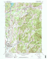
1964 Poultney
Rutland County, VT
1964 West Rutland
Rutland County, VT
1967 Dorset
Rutland County, VT
1967 Wells
Rutland County, VT

1970 Mount Carmel
Rutland County, VT
1986 Mount Holly
Rutland County, VT

1986 Wallingford
Rutland County, VT

1997 Brandon
Rutland County, VT

1997 Dorset
Rutland County, VT

1997 Killington Peak
Rutland County, VT

1997 Mount Carmel
Rutland County, VT

1997 Mount Holly
Rutland County, VT

1997 Pico Peak
Rutland County, VT

1997 Wallingford
Rutland County, VT
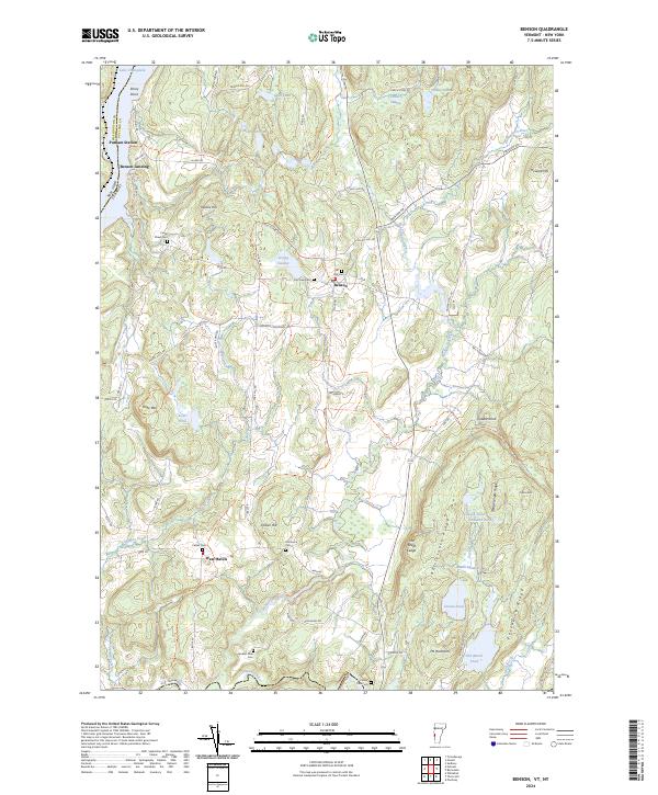
2024 Benson
Rutland County, VT
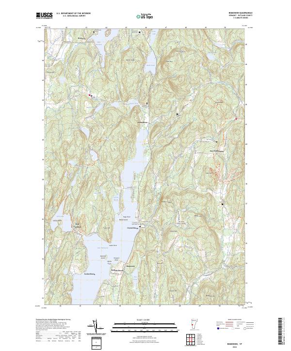
2024 Bomoseen
Rutland County, VT
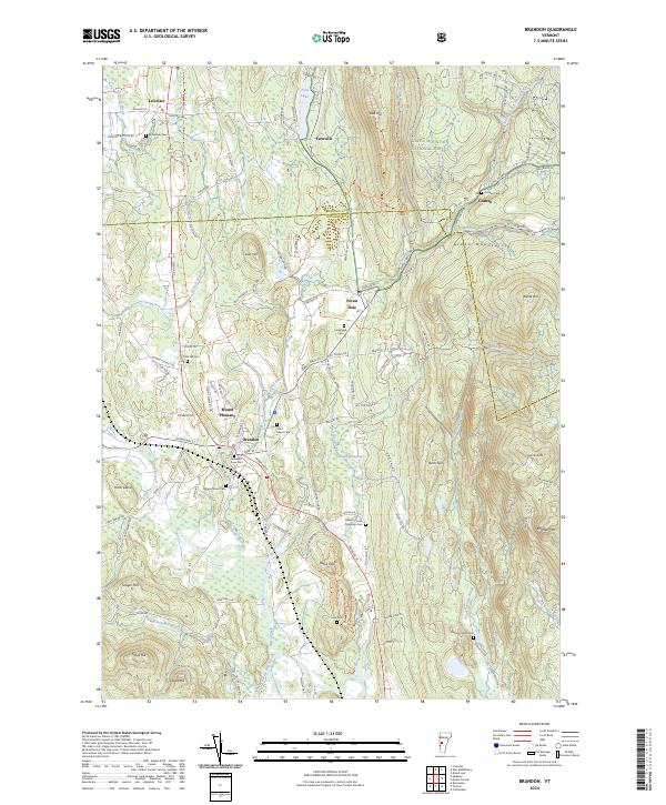
2024 Brandon
Rutland County, VT
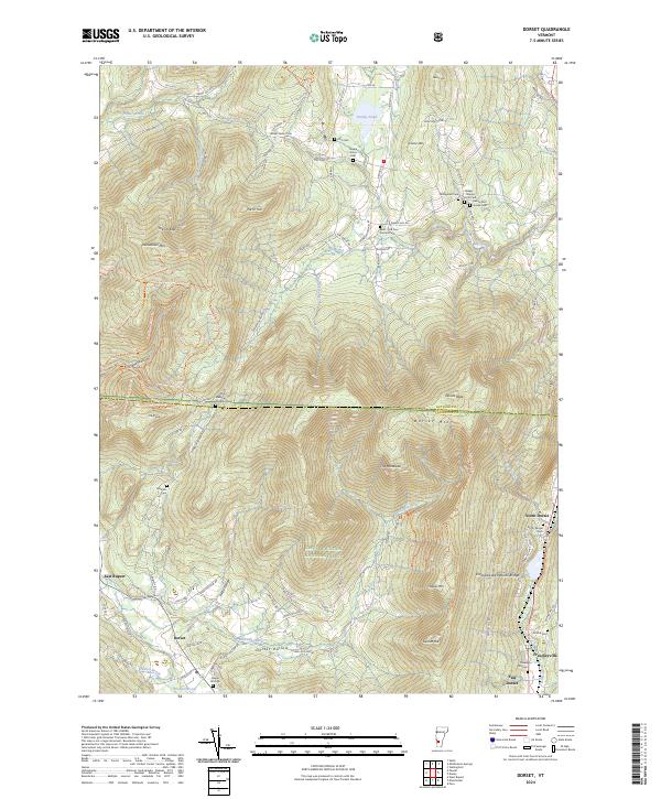
2024 Dorset
Rutland County, VT
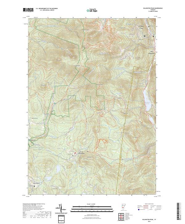
2024 Killington Peak
Rutland County, VT
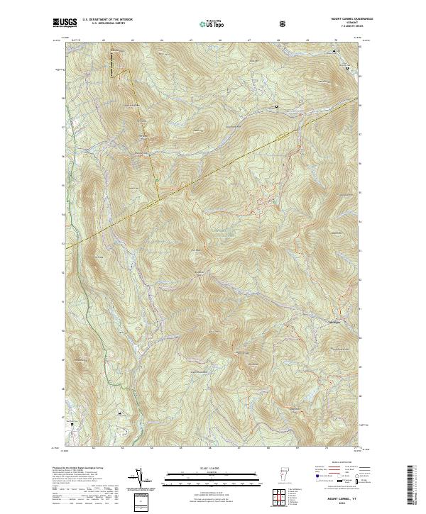
2024 Mount Carmel
Rutland County, VT
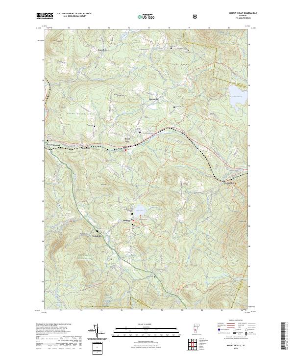
2024 Mount Holly
Rutland County, VT
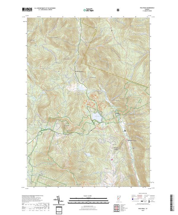
2024 Pico Peak
Rutland County, VT
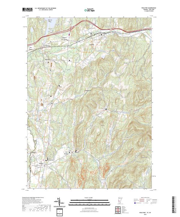
2024 Poultney
Rutland County, VT
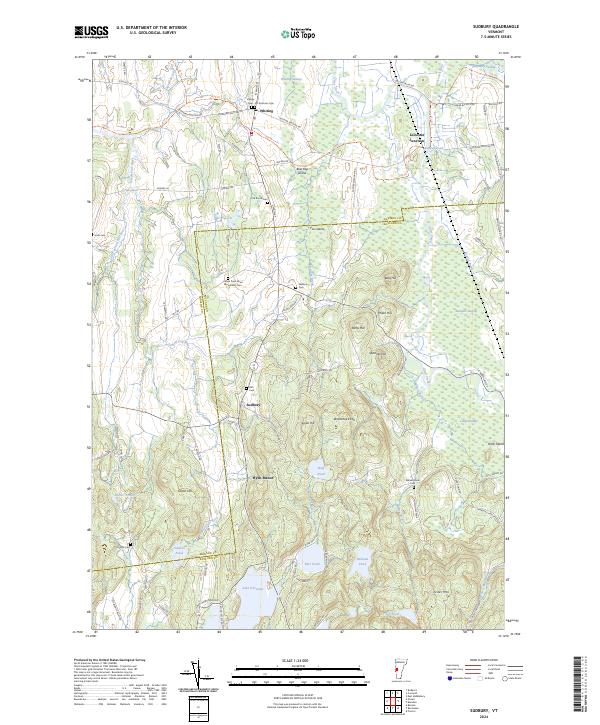
2024 Sudbury
Rutland County, VT
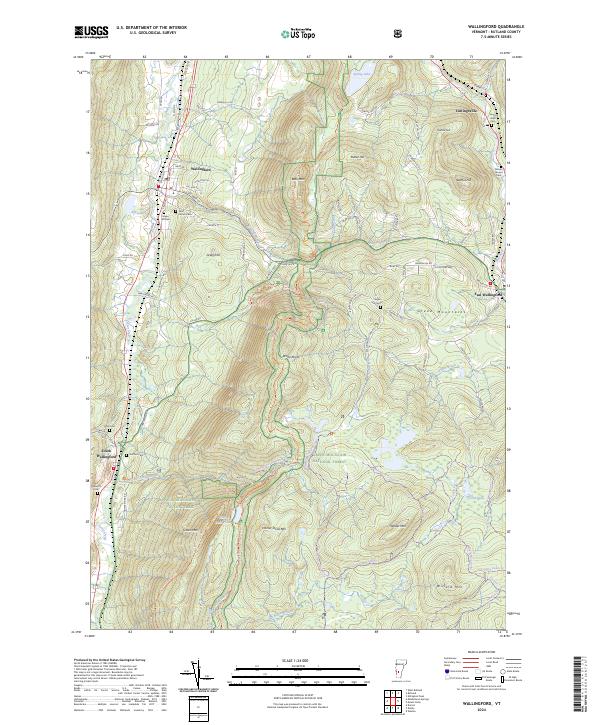
2024 Wallingford
Rutland County, VT
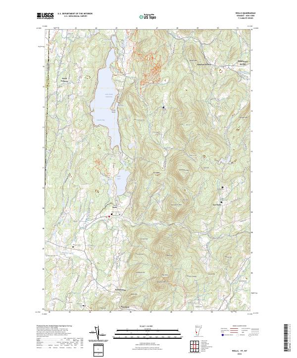
2024 Wells
Rutland County, VT
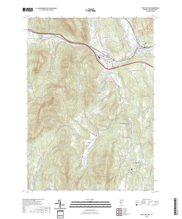
2024 West Rutland
Rutland County, VT