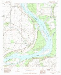
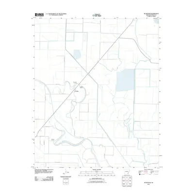
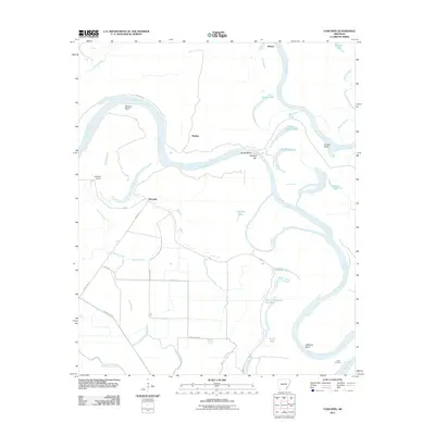
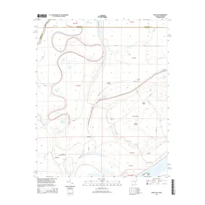
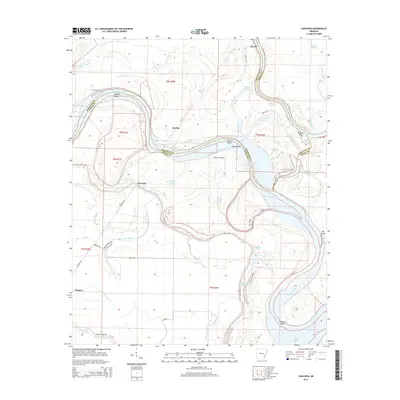
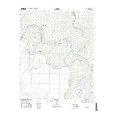
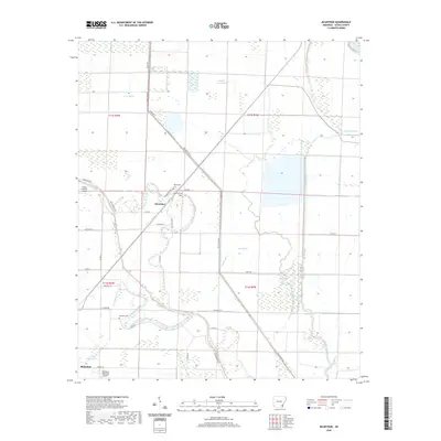
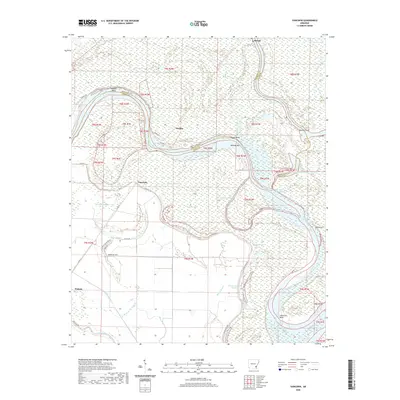
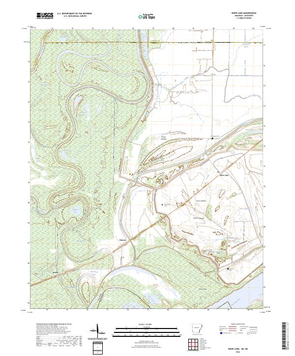
1967 Map of Snow Lake
USGS Topo · Published 1968About this map
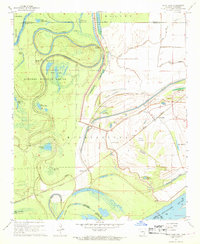
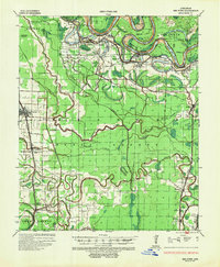
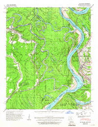
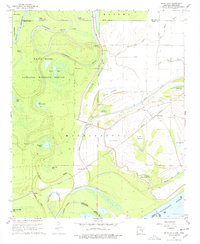
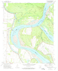
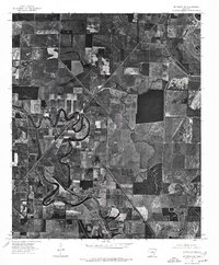
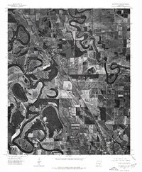
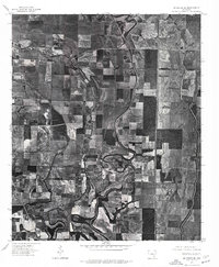
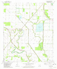
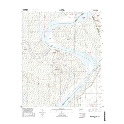
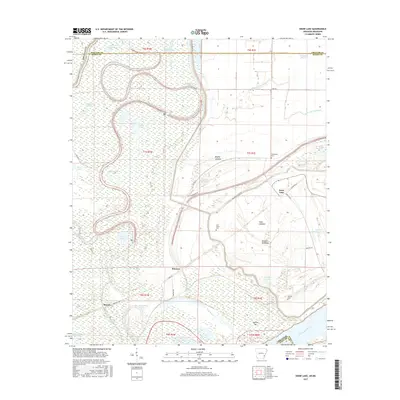
White River National Wildlife Refuge dominates the western portion of this landscape, where the meandering White River creates a complex system of oxbows and seasonal wetlands like Big Round Lake and Alligator Lake. The map details a river-bottom environment defined by water management and transport, with a prominent levee system protecting the lowlands where the Mississippi River and White River converge.
Find a feature on this map
41 named features on this map. Tap any name to fly to it.
Don’t see what you’re looking for? This feature index may not catch every label — zoom into the map to look around manually.
Map Details
Editions of this 1967 Snow Lake Map
2 editions found
Historical Maps of Stimson Through Time
54 maps found
1935 Red Fork
Desha County, AR
1939 Big Island
Desha County, AR
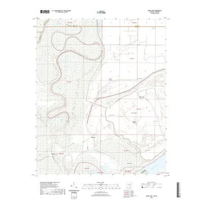
1967 Snow Lake
Desha County, AR

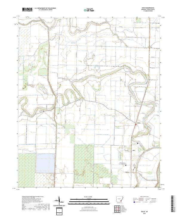
1969 Kelso
Desha County, AR
1972 Catfish Point
Desha County, AR
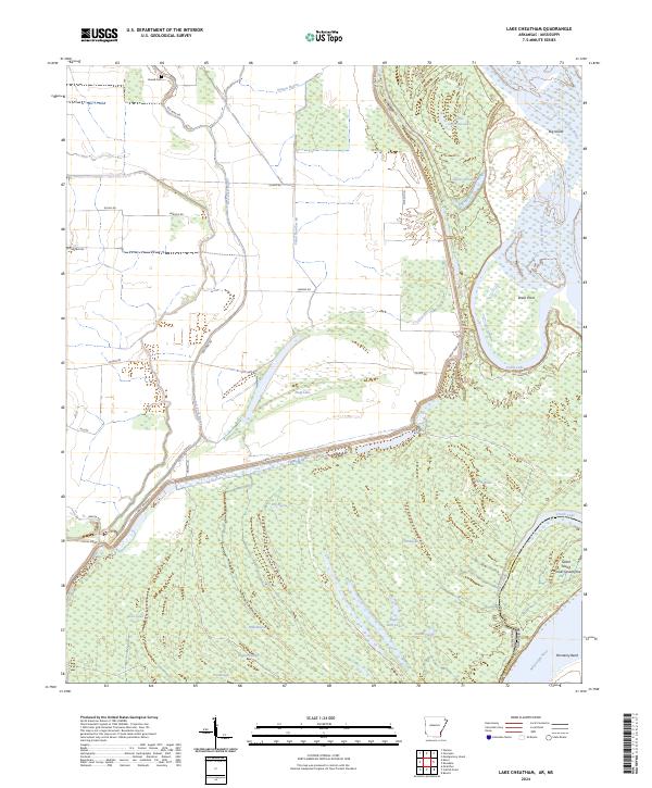
1972 Lake Cheatham
Desha County, AR
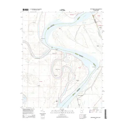
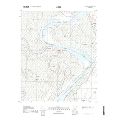
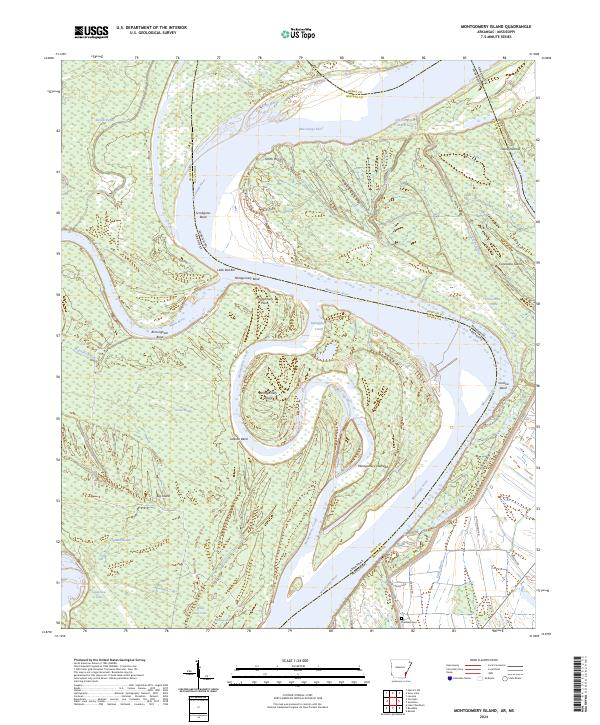
1972 Montgomery Island
Desha County, AR
1972 Yancopin
Desha County, AR
1975 Mc Gehee NE
Desha County, AR
1975 Mc Gehee NW
Desha County, AR
1975 Mc Gehee SE
Desha County, AR
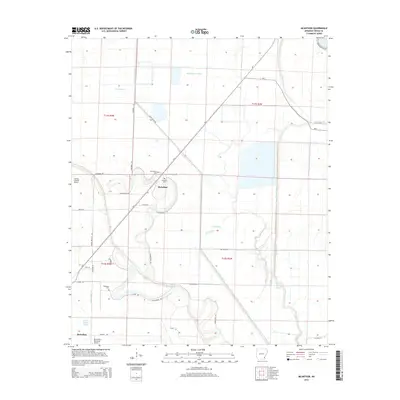
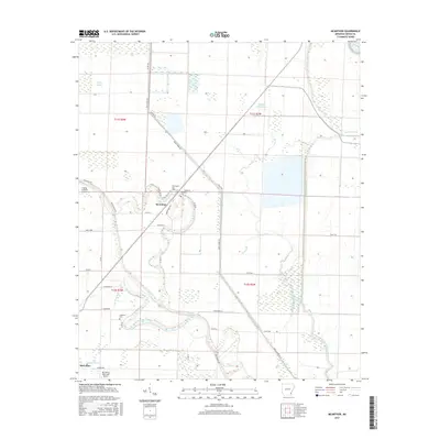
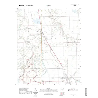
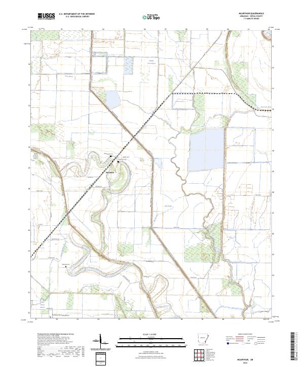
1981 Mc Arthur
Desha County, AR

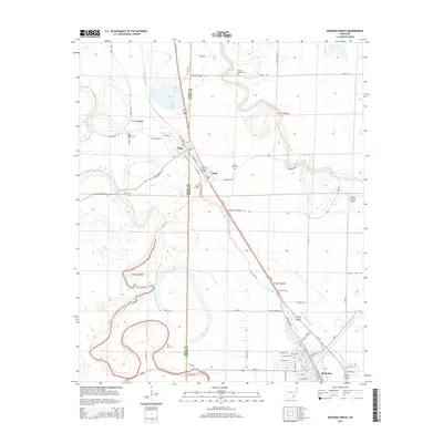
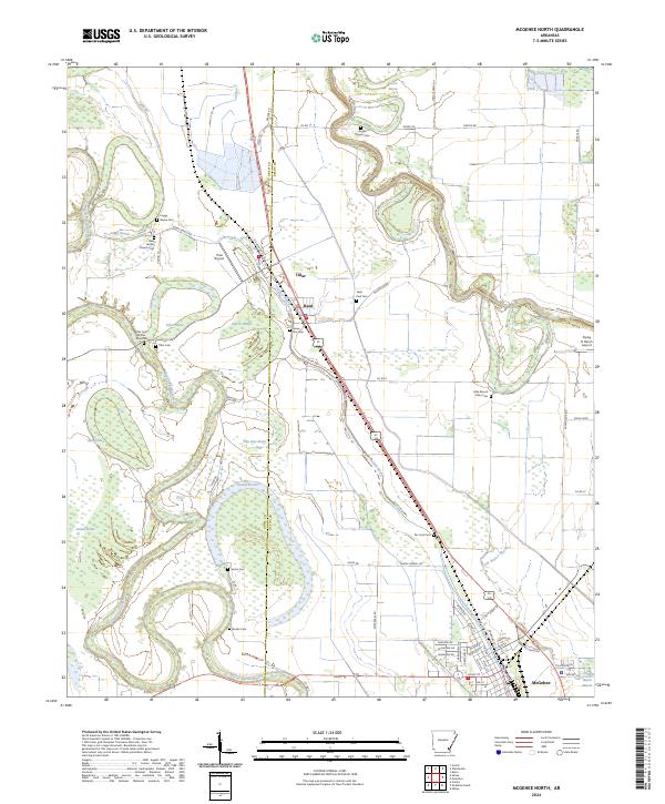
1981 Mc Gehee North
Desha County, AR
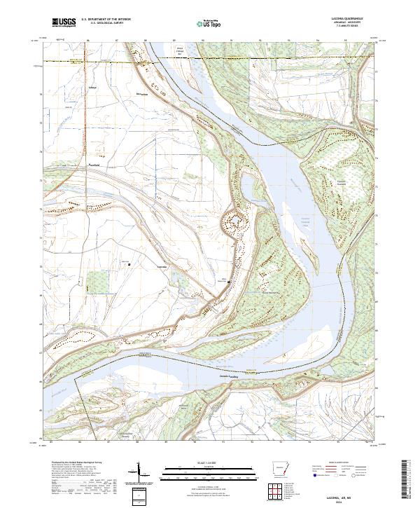
1982 Laconia
Desha County, AR
2011 Kelso
Desha County, AR
2011 Laconia
Desha County, AR
2011 Lake Cheatham
Desha County, AR
2011 McArthur
Desha County, AR
2011 McGehee North
Desha County, AR
2011 Montgomery Island
Desha County, AR
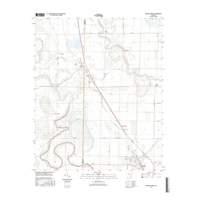
2011 Snow Lake
Desha County, AR
2011 Yancopin
Desha County, AR
2014 Kelso
Desha County, AR
2014 Laconia
Desha County, AR
2014 Lake Cheatham
Desha County, AR
2014 McArthur
Desha County, AR
2014 McGehee North
Desha County, AR
2014 Montgomery Island
Desha County, AR
2014 Snow Lake
Desha County, AR
2014 Yancopin
Desha County, AR
2017 Kelso
Desha County, AR
2017 Laconia
Desha County, AR
2017 Lake Cheatham
Desha County, AR
2017 McArthur
Desha County, AR
2017 McGehee North
Desha County, AR
2017 Montgomery Island
Desha County, AR
2017 Snow Lake
Desha County, AR
2017 Yancopin
Desha County, AR
2020 Kelso
Desha County, AR
2020 Laconia
Desha County, AR
2020 Lake Cheatham
Desha County, AR
2020 McArthur
Desha County, AR
2020 McGehee North
Desha County, AR
2020 Montgomery Island
Desha County, AR
2020 Snow Lake
Desha County, AR
2020 Yancopin
Desha County, AR
2024 Kelso
Desha County, AR
2024 Laconia
Desha County, AR
2024 Lake Cheatham
Desha County, AR
2024 McArthur
Desha County, AR
2024 McGehee North
Desha County, AR
2024 Montgomery Island
Desha County, AR
2024 Snow Lake
Desha County, AR
2024 Yancopin
Desha County, AR