
1935 Map of University
USGS Topo · Published 1962About this map
University of Virginia anchors the southeast corner of this mid-1930s landscape, just as the Shenandoah National Park was being established along the crest of the Blue Ridge Mountains. The map documents a rural society transitioning into the modern era, where the recently constructed Skyline Drive and the Appalachian Trail follow the high ridges once defined only by gaps like Browns Gap and Jarman Gap. In the valleys below, a dense network of country schools such as Mission Sch and Midway Sch serves small agricultural communities like Nortonsville, White Hall, and Free Union. The Chesapeake and Ohio railroad corridor facilitates the growth of towns like Crozet, while the Southern line passes the University grounds. This survey captures a moment when traditional landmarks like the Miller School and St Johns Mission coexisted with newer developments like the Farmington Country Club.
Find a feature on this map
114 named features on this map. Tap any name to fly to it.
Don’t see what you’re looking for? This feature index may not catch every label — zoom into the map to look around manually.
Map Details
Editions of this 1935 University Map
This is the sole edition of this map. No revisions or reprints were ever made.
Historical Maps of Meriwether Hill Through Time
43 maps found

1929 Covesville
Albemarle County, VA

1931 University
Albemarle County, VA

1935 Charlottesville
Albemarle County, VA

1935 Covesville
Albemarle County, VA
1935 University
Albemarle County, VA

1939 Charlottesville
Albemarle County, VA

1945 Covesville
Albemarle County, VA

1949 Charlottesville
Albemarle County, VA

1949 Charlottesville
Albemarle County, VA

1956 Charlottesville
Albemarle County, VA

1964 Charlottesville East
Albemarle County, VA

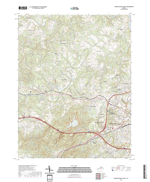
1964 Charlottesville West
Albemarle County, VA

1964 Waynesboro East
Albemarle County, VA

1965 Browns Cove
Albemarle County, VA

1967 Alberene
Albemarle County, VA

1967 Covesville
Albemarle County, VA

1967 Simeon
Albemarle County, VA

1972 Charlottesville East
Albemarle County, VA

1972 Charlottesville West
Albemarle County, VA

1972 Waynesboro East
Albemarle County, VA

1973 Charlottesville East
Albemarle County, VA

1973 Charlottesville West
Albemarle County, VA

1973 Waynesboro East
Albemarle County, VA

1977 Browns Cove
Albemarle County, VA

1977 Charlottesville East
Albemarle County, VA

1977 Charlottesville West
Albemarle County, VA

1977 Waynesboro East
Albemarle County, VA

1979 Alberene
Albemarle County, VA

1979 Covesville
Albemarle County, VA

1979 Simeon
Albemarle County, VA

1986 Charlottesville
Albemarle County, VA

1997 Browns Cove
Albemarle County, VA

1997 Charlottesville East
Albemarle County, VA

1997 Charlottesville West
Albemarle County, VA

1997 Waynesboro East
Albemarle County, VA

1999 Covesville
Albemarle County, VA

2022 Alberene
Albemarle County, VA

2022 Browns Cove
Albemarle County, VA

2022 Charlottesville East
Albemarle County, VA
2022 Charlottesville West
Albemarle County, VA

2022 Covesville
Albemarle County, VA

2022 Simeon
Albemarle County, VA

2022 Waynesboro East
Albemarle County, VA