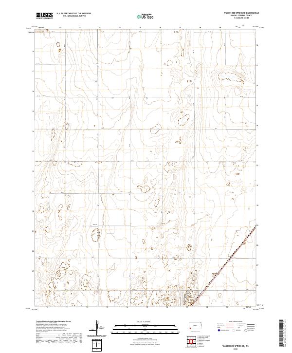
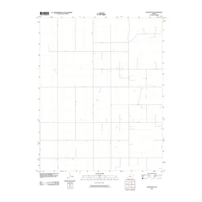
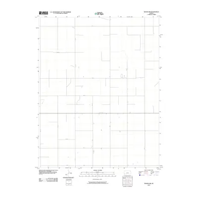
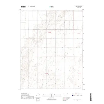
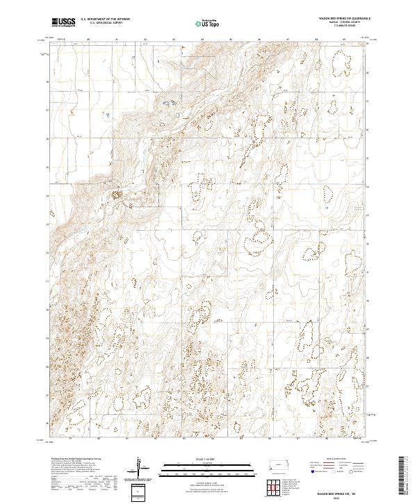
2022 Map of Wagon Bed Spring SE
USGS Topo · Published 2022About this map
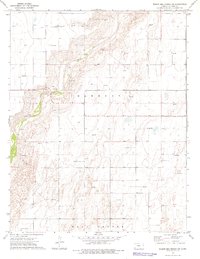
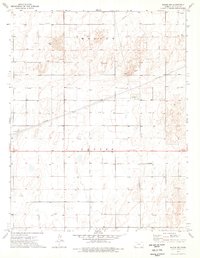
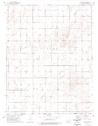
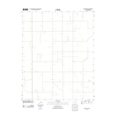
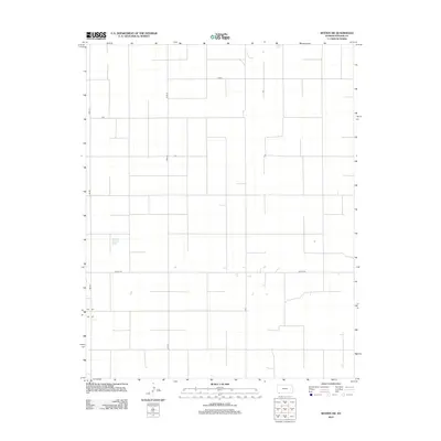
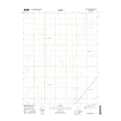
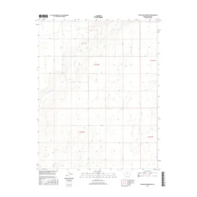
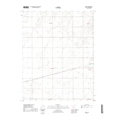
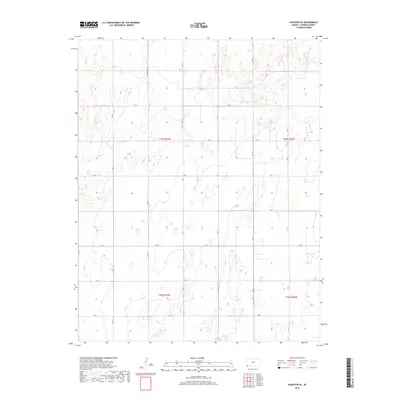
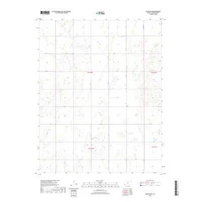
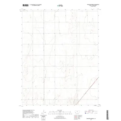
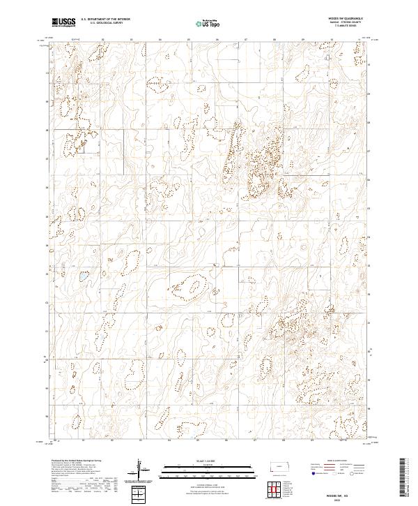
The high plains of Stevens County are defined here by a geometric grid of rural routes, a classic signature of the Public Land Survey System in the western United States. These thoroughfares, including Rd Cc, Road W, and Rd Aa, slice across the landscape to provide access to isolated agricultural sections. The map reveals the township structure of the region, specifically marking t31s r37w, t31s r36w, t32s r37w, and t32s r36w. While the terrain is relatively uniform, subtle depressions and wetlands are scattered throughout, suggesting seasonal catchments for the area's scarce water. This 2022 data reflects the modern persistence of the original homestead-era division of land, where gravel and dirt roads like Rd 12 and Rd 17 remain the primary lifelines for the scattered farmsteads and ranches of the Kansas panhandle.
Find a feature on this map
20 named features on this map. Tap any name to fly to it.
Don’t see what you’re looking for? This feature index may not catch every label — zoom into the map to look around manually.
Map Details
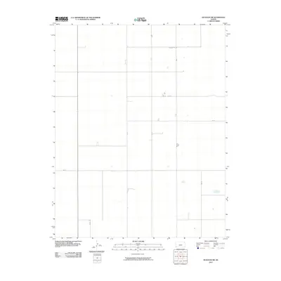
Editions of this 2022 Wagon Bed Spring SE Map
This is the sole edition of this map. No revisions or reprints were ever made.
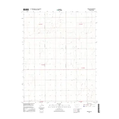
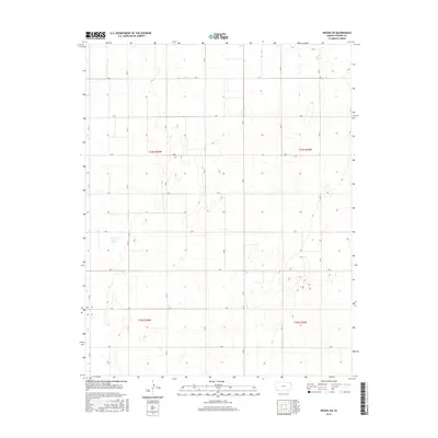
Historical Maps of Stevens County Through Time
42 maps found
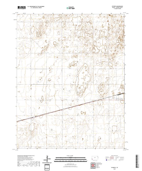
1974 Feterita
Stevens County, KS
1974 Hugoton SE
Stevens County, KS

1974 Hugoton SW
Stevens County, KS
1974 Wagon Bed Spring SE
Stevens County, KS
1974 Wagon Bed Spring SW
Stevens County, KS
1974 Woods NW
Stevens County, KS
1974 Woods SW
Stevens County, KS
2010 Feterita
Stevens County, KS
2010 Hugoton SE
Stevens County, KS
2010 Hugoton SW
Stevens County, KS
2010 Wagon Bed Spring SE
Stevens County, KS
2010 Wagon Bed Spring SW
Stevens County, KS
2010 Woods NW
Stevens County, KS
2010 Woods SW
Stevens County, KS
2012 Feterita
Stevens County, KS
2012 Hugoton SE
Stevens County, KS
2012 Hugoton SW
Stevens County, KS
2012 Wagon Bed Spring SE
Stevens County, KS
2012 Wagon Bed Spring SW
Stevens County, KS
2012 Woods NW
Stevens County, KS
2012 Woods SW
Stevens County, KS
2015 Feterita
Stevens County, KS
2015 Hugoton SE
Stevens County, KS
2015 Hugoton SW
Stevens County, KS
2015 Wagon Bed Spring SE
Stevens County, KS
2015 Wagon Bed Spring SW
Stevens County, KS
2015 Woods NW
Stevens County, KS
2015 Woods SW
Stevens County, KS
2018 Feterita
Stevens County, KS
2018 Hugoton SE
Stevens County, KS
2018 Hugoton SW
Stevens County, KS
2018 Wagon Bed Spring SE
Stevens County, KS
2018 Wagon Bed Spring SW
Stevens County, KS
2018 Woods NW
Stevens County, KS
2018 Woods SW
Stevens County, KS
2022 Feterita
Stevens County, KS
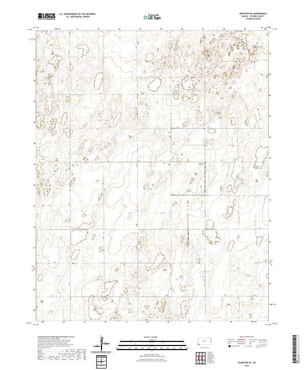
2022 Hugoton SE
Stevens County, KS
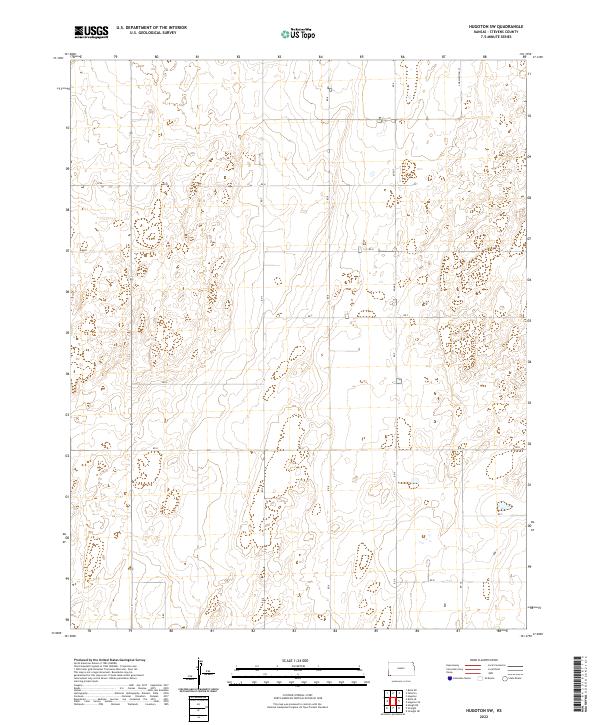
2022 Hugoton SW
Stevens County, KS
2022 Wagon Bed Spring SE
Stevens County, KS
2022 Wagon Bed Spring SW
Stevens County, KS
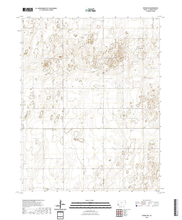
2022 Woods NW
Stevens County, KS
2022 Woods SW
Stevens County, KS