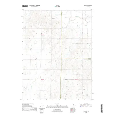
2022 Map of Beloit SW
USGS Topo · Published 2022About this map
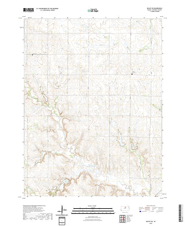
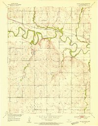
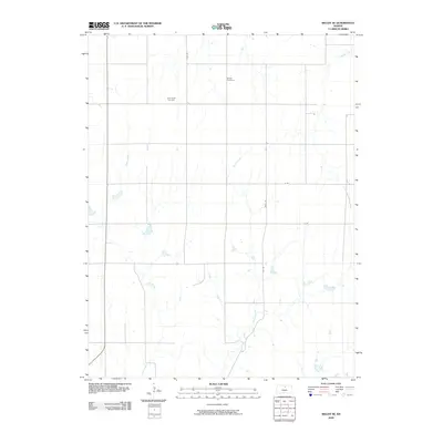
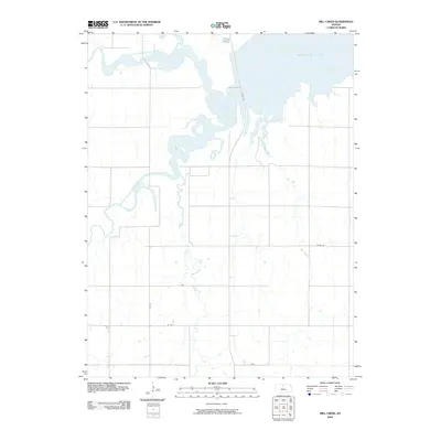
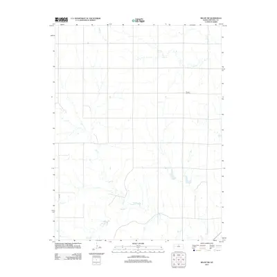
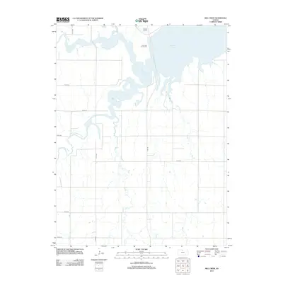
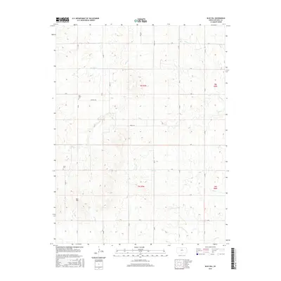
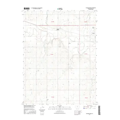
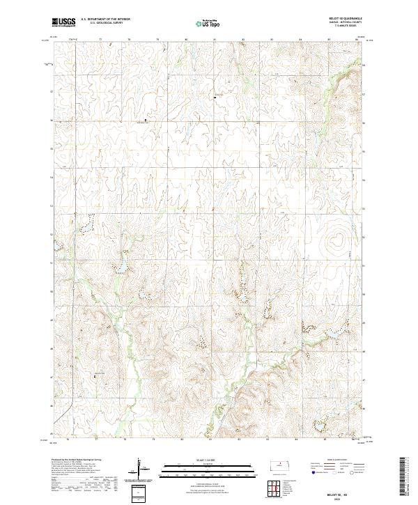
Elmira Cem and Pleasant View Cem stand as quiet markers of rural community life in this section of Mitchell County. The landscape is defined by the headwaters and drainages of several important local watercourses, including Leban Cr, Salt Cr, and Little Cr. This 2022 survey preserves the exact alignment of the sectional road grid, identified by simple lettered designations like O RD through V RD. The presence of these small family or community burial grounds amidst the expansive agricultural sections illustrates the deep-rooted settlement patterns that continue to shape the Kansas plains. Further south, the map details the winding course of Rock Creek, providing a contemporary record of the natural hydrology and property divisions within Townships 8 and 9 South.
Find a feature on this map
20 named features on this map. Tap any name to fly to it.
Don’t see what you’re looking for? This feature index may not catch every label — zoom into the map to look around manually.
Map Details
Editions of this 2022 Beloit SW Map
This is the sole edition of this map. No revisions or reprints were ever made.
Historical Maps of Mitchell County Through Time
42 maps found
1952 Glasco SW
Mitchell County, KS
1953 Glen Elder South
Mitchell County, KS
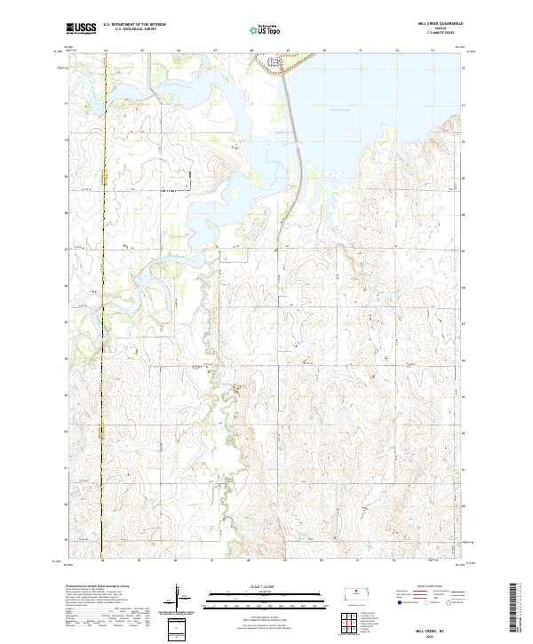
1953 Mill Creek
Mitchell County, KS
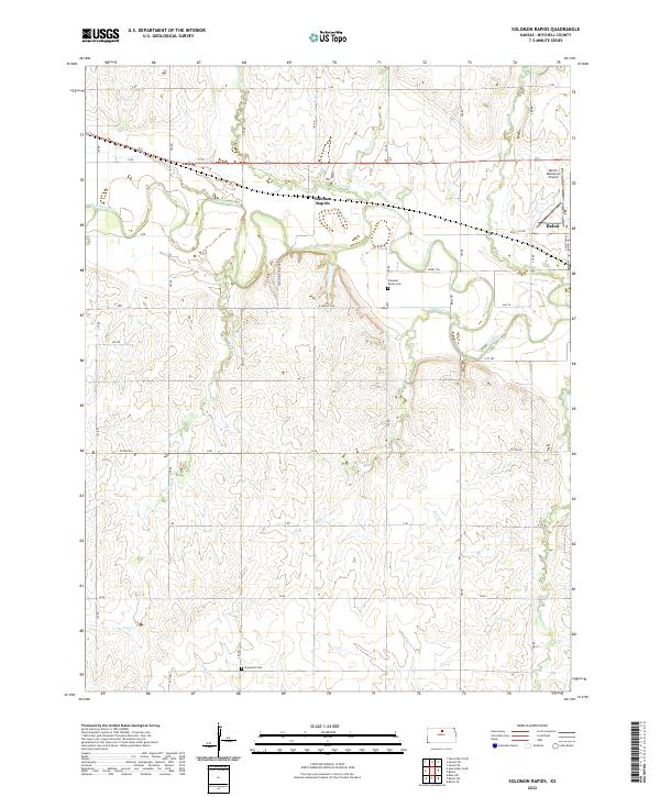
1953 Solomon Rapids
Mitchell County, KS
1964 Beloit SE
Mitchell County, KS
1968 Beloit SW
Mitchell County, KS
1978 Blue Hill
Mitchell County, KS
2009 Beloit SE
Mitchell County, KS
2009 Beloit SW
Mitchell County, KS
2009 Blue Hill
Mitchell County, KS
2009 Glasco SW
Mitchell County, KS
2009 Mill Creek
Mitchell County, KS
2009 Solomon Rapids
Mitchell County, KS
2010 Glen Elder South
Mitchell County, KS
2012 Beloit SE
Mitchell County, KS
2012 Beloit SW
Mitchell County, KS
2012 Blue Hill
Mitchell County, KS
2012 Glasco SW
Mitchell County, KS
2012 Glen Elder South
Mitchell County, KS
2012 Mill Creek
Mitchell County, KS
2012 Solomon Rapids
Mitchell County, KS
2015 Beloit SE
Mitchell County, KS
2015 Beloit SW
Mitchell County, KS
2015 Blue Hill
Mitchell County, KS
2015 Glasco SW
Mitchell County, KS
2015 Glen Elder South
Mitchell County, KS
2015 Mill Creek
Mitchell County, KS
2015 Solomon Rapids
Mitchell County, KS
2018 Beloit SE
Mitchell County, KS
2018 Beloit SW
Mitchell County, KS
2018 Blue Hill
Mitchell County, KS
2018 Glasco SW
Mitchell County, KS
2018 Glen Elder South
Mitchell County, KS
2018 Mill Creek
Mitchell County, KS
2018 Solomon Rapids
Mitchell County, KS
2022 Beloit SE
Mitchell County, KS
2022 Beloit SW
Mitchell County, KS
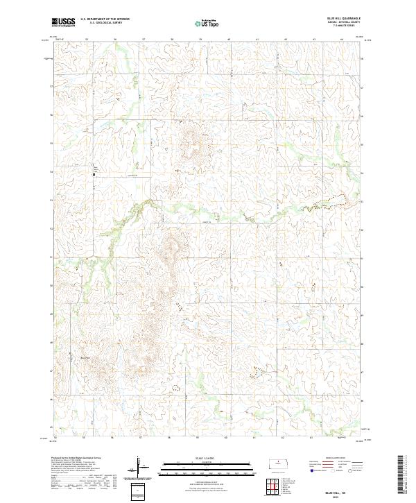
2022 Blue Hill
Mitchell County, KS
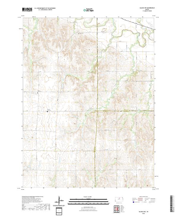
2022 Glasco SW
Mitchell County, KS
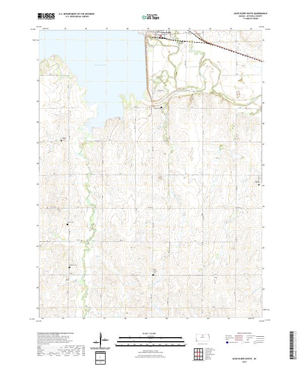
2022 Glen Elder South
Mitchell County, KS
2022 Mill Creek
Mitchell County, KS
2022 Solomon Rapids
Mitchell County, KS