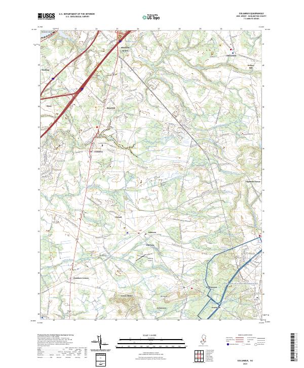
2023 Map of Columbus
USGS Topo · Published 2023About this map
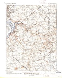
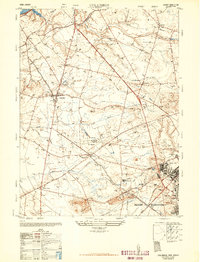
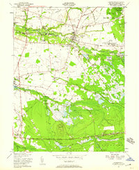
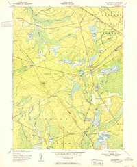
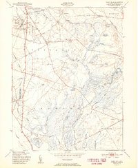
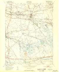
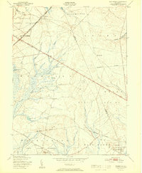
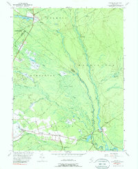
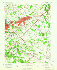
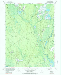
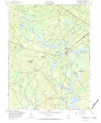
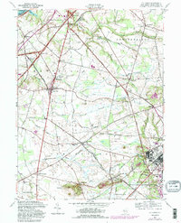
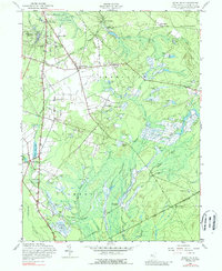
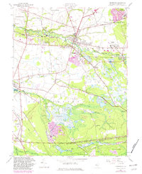
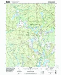
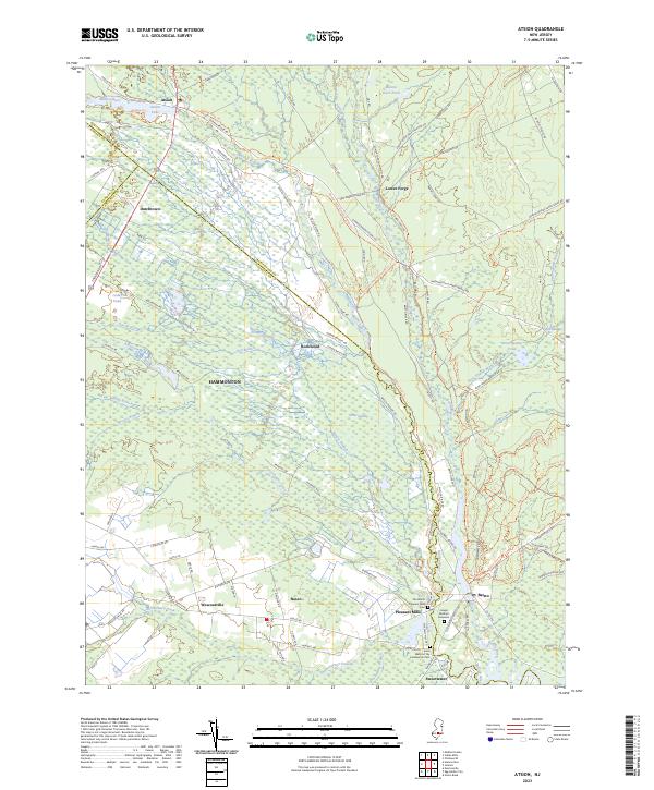
The agricultural heart of Burlington County is meticulously detailed here, centered on the crossroads of Columbus and its surrounding hamlets. The landscape is defined by its subtle drainage networks, where Assiscunk Creek and Barkers Brook wind through fertile plains punctuated by historic centers like Mansfield Square and Chesterfield. This modern survey illustrates the persistent rural character of the area, even as contemporary landmarks such as Redwing Airport sit alongside much older sites like the Springfield Meeting House. Significant topographical features such as Arneys Mount and Mt Pisgah rise above the low-lying wetlands and streams, providing a clear picture of the elevation changes that have influenced local settlement for generations. The map serves as a primary source for identifying the transition between established farming communities and modern infrastructure, from Wallace Mill in the northeast to the residential clusters of Juliustown and Wrightstown further south.
Find a feature on this map
152 named features on this map. Tap any name to fly to it.
Don’t see what you’re looking for? This feature index may not catch every label — zoom into the map to look around manually.
Map Details
Editions of this 2023 Columbus Map
This is the sole edition of this map. No revisions or reprints were ever made.
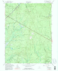
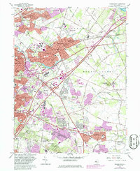
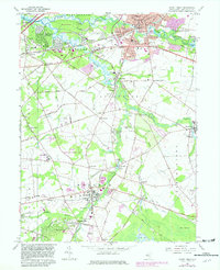
Historical Maps of Eastampton Township Through Time
51 maps found

1888 Bordentown
Burlington County, NJ

1888 Mount Holly
Burlington County, NJ

1888 Pemberton
Burlington County, NJ
1893 Bordentown
Burlington County, NJ

1894 Mount Holly
Burlington County, NJ

1894 Pemberton
Burlington County, NJ

1898 Mount Holly
Burlington County, NJ
1898 Pemberton
Burlington County, NJ
1900 Rancocas
Burlington County, NJ
1906 Bordentown
Burlington County, NJ

1919 Mount Holly
Burlington County, NJ

1942 Mount Holly
Burlington County, NJ

1942 Pemberton
Burlington County, NJ

1948 Bordentown
Burlington County, NJ
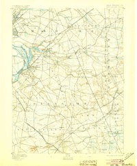
1948 Columbus
Burlington County, NJ

1949 Pemberton
Burlington County, NJ
1949 Pemberton
Burlington County, NJ
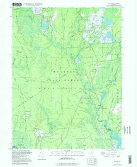
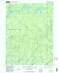
1951 Chatsworth
Burlington County, NJ
1951 Indian Mills
Burlington County, NJ
1951 Pemberton
Burlington County, NJ
1951 Woodmansie
Burlington County, NJ
1953 Atsion
Burlington County, NJ
1953 Moorestown
Burlington County, NJ
1953 Mount Holly
Burlington County, NJ
1955 Bristol
Burlington County, NJ
1955 Oswego Lake
Burlington County, NJ
1956 Jenkins
Burlington County, NJ
1957 Chatsworth
Burlington County, NJ
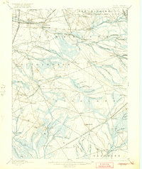
1957 Columbus
Burlington County, NJ
1957 Indian Mills
Burlington County, NJ
1957 Pemberton
Burlington County, NJ
1957 Woodmansie
Burlington County, NJ
1966 Moorestown
Burlington County, NJ
1967 Mount Holly
Burlington County, NJ
1995 Chatsworth
Burlington County, NJ
1995 Indian Mills
Burlington County, NJ

1995 Moorestown
Burlington County, NJ
1995 Woodmansie
Burlington County, NJ
1997 Atsion
Burlington County, NJ
1997 Jenkins
Burlington County, NJ
1997 Oswego Lake
Burlington County, NJ
2023 Atsion
Burlington County, NJ
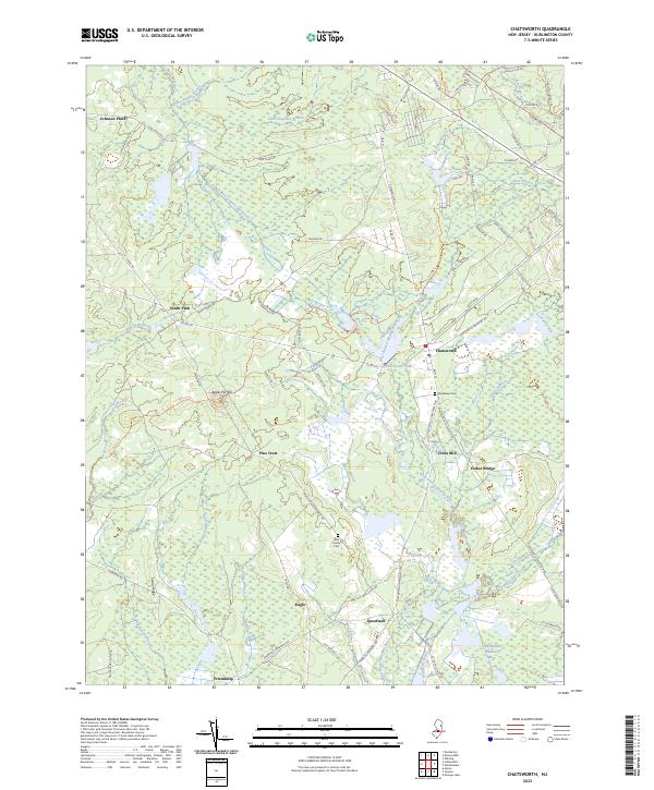
2023 Chatsworth
Burlington County, NJ
2023 Columbus
Burlington County, NJ
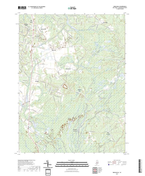
2023 Indian Mills
Burlington County, NJ
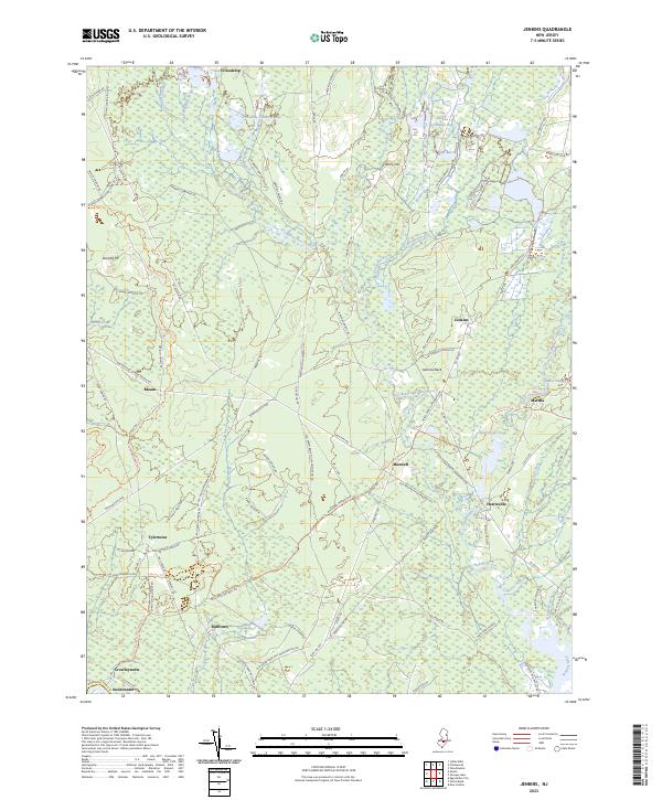
2023 Jenkins
Burlington County, NJ
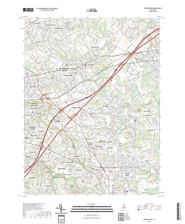
2023 Moorestown
Burlington County, NJ
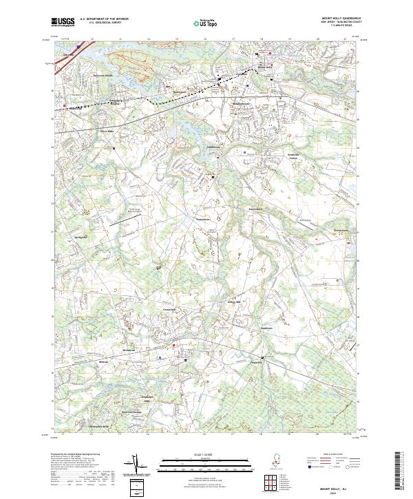
2023 Mount Holly
Burlington County, NJ
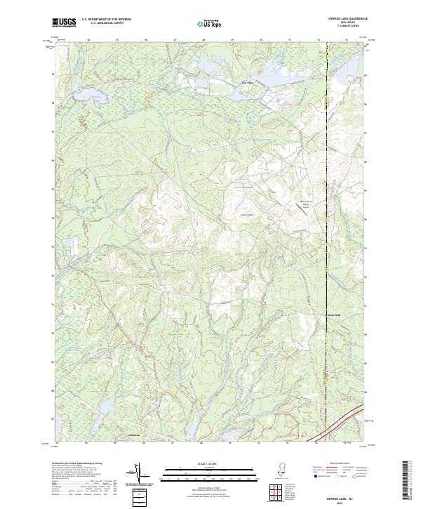
2023 Oswego Lake
Burlington County, NJ
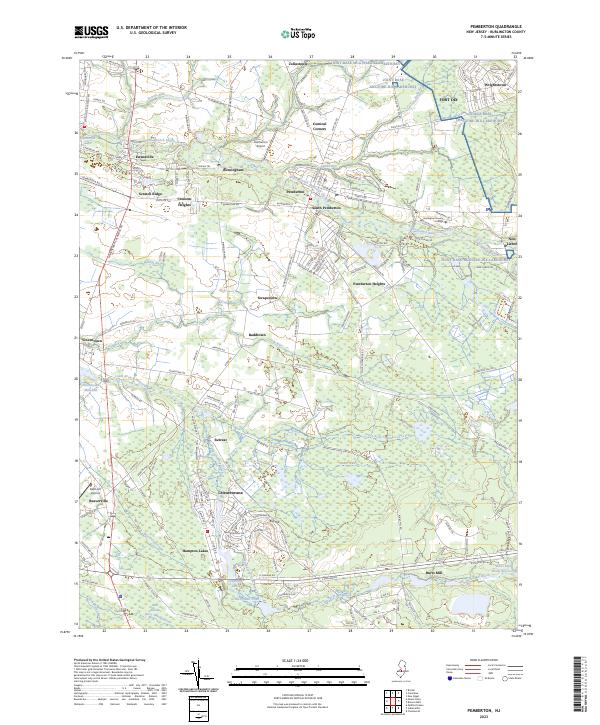
2023 Pemberton
Burlington County, NJ
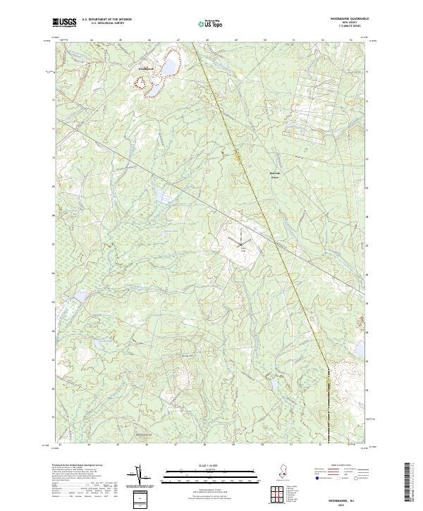
2023 Woodmansie
Burlington County, NJ
Featured Locations
- Bordentown Township, NJ
- Springfield Township, NJ
- Mansfield Township, NJ
- Chesterfield Township, NJ
- Eastampton Township, NJ