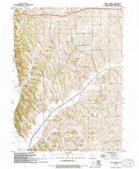
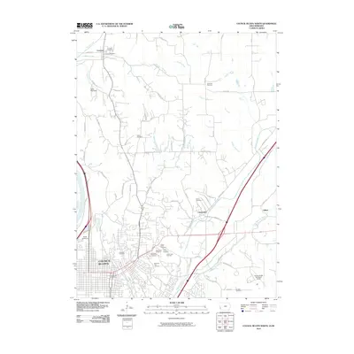
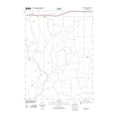
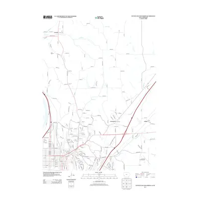
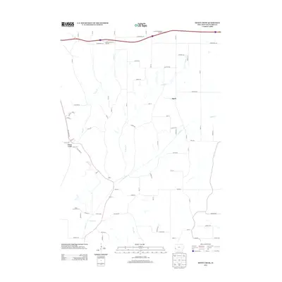
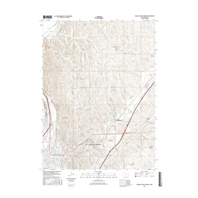
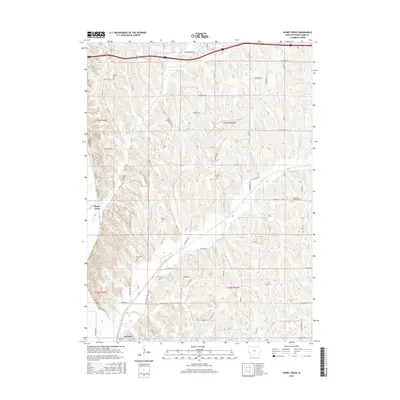
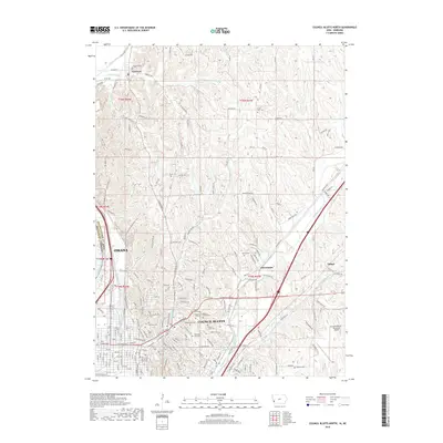
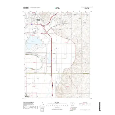
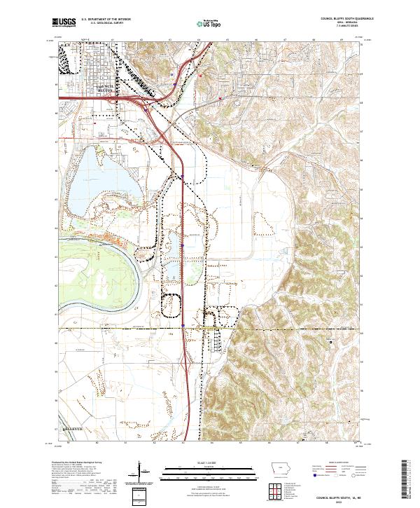
1994 Map of Council Bluffs South
USGS Topo · Published 1994About this map
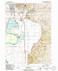
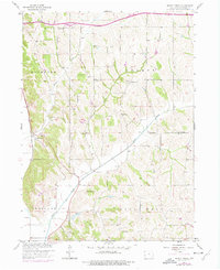
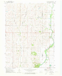
Lake Manawa and the surrounding wetlands of Lake Manawa State Park dominate the landscape just south of Council Bluffs in this mid-1990s survey. The map details a complex interface between water and infrastructure where the Missouri River forms the state boundary with Nebraska. The industrial and educational character of the region is evident through the presence of a Power Plant, a Tank Farm, and specialized institutions like the Iowa School for the Deaf.
Find a feature on this map
35 named features on this map. Tap any name to fly to it.
Don’t see what you’re looking for? This feature index may not catch every label — zoom into the map to look around manually.
Map Details
Editions of this 1994 Council Bluffs South Map
This is the sole edition of this map. No revisions or reprints were ever made.
Historical Maps of Council Bluffs Through Time
54 maps found
1956 Council Bluffs North
Pottawattamie County, IA
1956 Council Bluffs South
Pottawattamie County, IA
1956 Mc Clelland
Pottawattamie County, IA
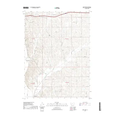
1957 Honey Creek
Pottawattamie County, IA
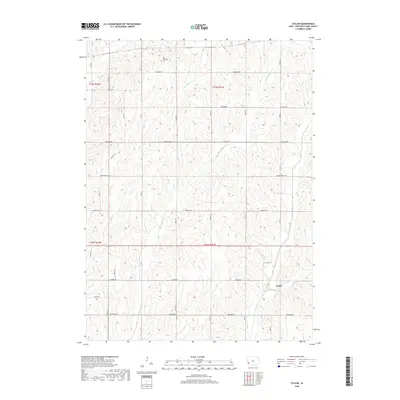
1957 Taylor
Pottawattamie County, IA
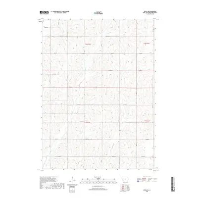
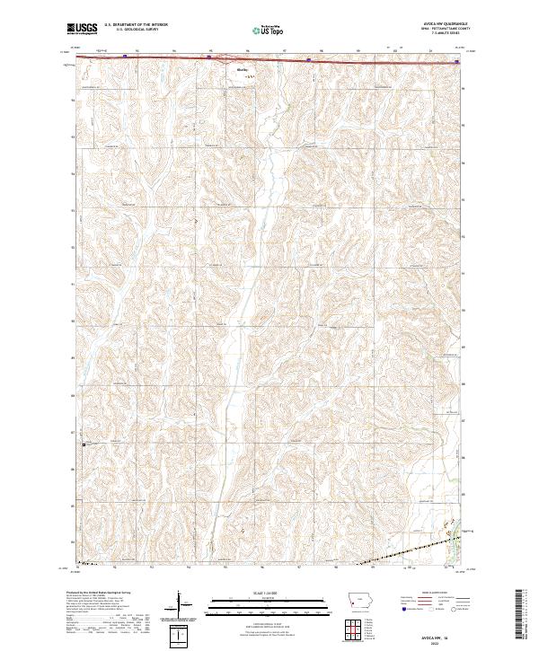
1963 Avoca NW
Pottawattamie County, IA
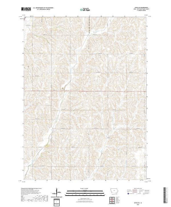
1963 Avoca SE
Pottawattamie County, IA
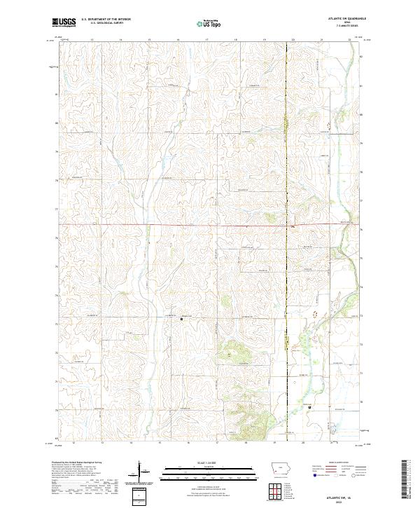
1971 Atlantic SW
Pottawattamie County, IA
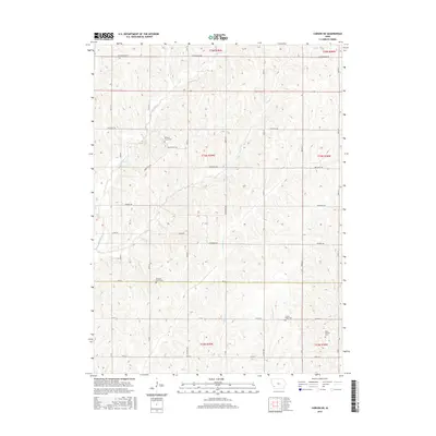
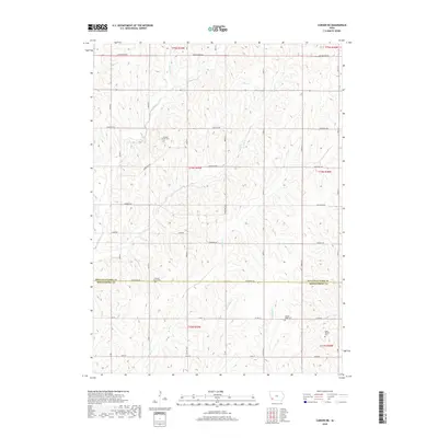
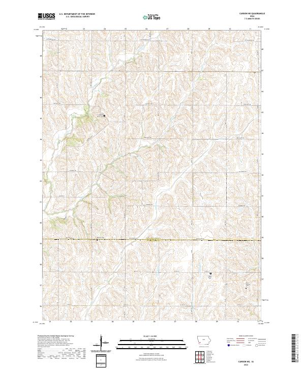
1978 Carson NE
Pottawattamie County, IA
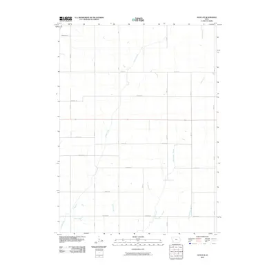
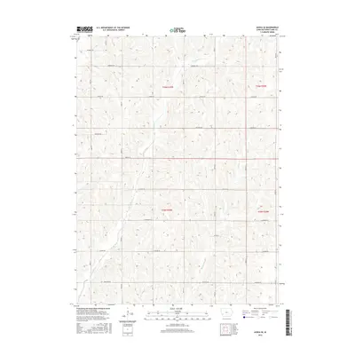
1994 Avoca NW
Pottawattamie County, IA
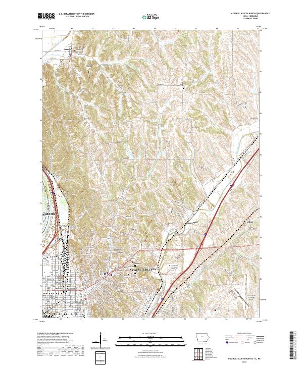
1994 Council Bluffs North
Pottawattamie County, IA
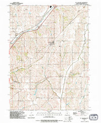
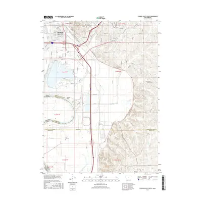
1994 Council Bluffs South
Pottawattamie County, IA
1994 Honey Creek
Pottawattamie County, IA
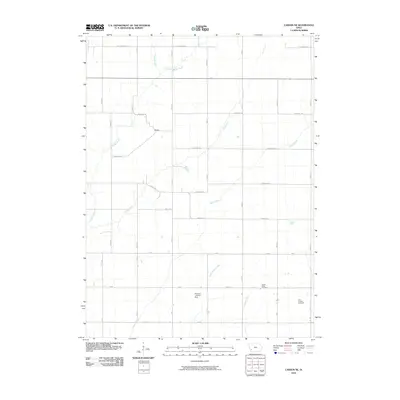
1994 Mc Clelland
Pottawattamie County, IA
2010 Atlantic SW
Pottawattamie County, IA
2010 Avoca NW
Pottawattamie County, IA
2010 Avoca SE
Pottawattamie County, IA
2010 Carson NE
Pottawattamie County, IA
2010 Council Bluffs North
Pottawattamie County, IA
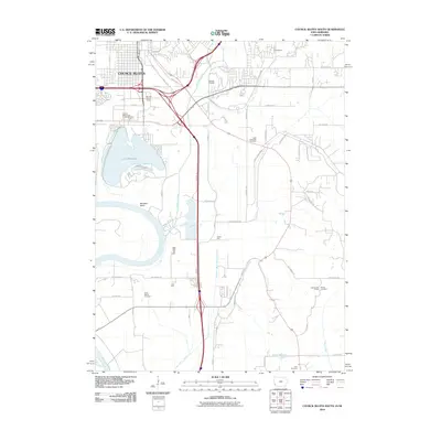
2010 Council Bluffs South
Pottawattamie County, IA
2010 Honey Creek
Pottawattamie County, IA
2010 Taylor
Pottawattamie County, IA
2013 Atlantic SW
Pottawattamie County, IA
2013 Avoca NW
Pottawattamie County, IA
2013 Avoca SE
Pottawattamie County, IA
2013 Carson NE
Pottawattamie County, IA
2013 Council Bluffs North
Pottawattamie County, IA
2013 Council Bluffs South
Pottawattamie County, IA
2013 Honey Creek
Pottawattamie County, IA
2013 Taylor
Pottawattamie County, IA
2015 Atlantic SW
Pottawattamie County, IA
2015 Avoca NW
Pottawattamie County, IA
2015 Avoca SE
Pottawattamie County, IA
2015 Carson NE
Pottawattamie County, IA
2015 Council Bluffs North
Pottawattamie County, IA
2015 Council Bluffs South
Pottawattamie County, IA
2015 Honey Creek
Pottawattamie County, IA
2015 Taylor
Pottawattamie County, IA
2018 Atlantic SW
Pottawattamie County, IA
2018 Avoca NW
Pottawattamie County, IA
2018 Avoca SE
Pottawattamie County, IA
2018 Carson NE
Pottawattamie County, IA
2018 Council Bluffs North
Pottawattamie County, IA
2018 Council Bluffs South
Pottawattamie County, IA
2018 Honey Creek
Pottawattamie County, IA
2018 Taylor
Pottawattamie County, IA
2022 Atlantic SW
Pottawattamie County, IA
2022 Avoca NW
Pottawattamie County, IA
2022 Avoca SE
Pottawattamie County, IA
2022 Carson NE
Pottawattamie County, IA
2022 Council Bluffs North
Pottawattamie County, IA
2022 Council Bluffs South
Pottawattamie County, IA
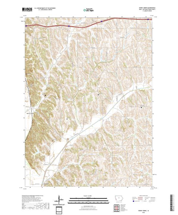
2022 Honey Creek
Pottawattamie County, IA
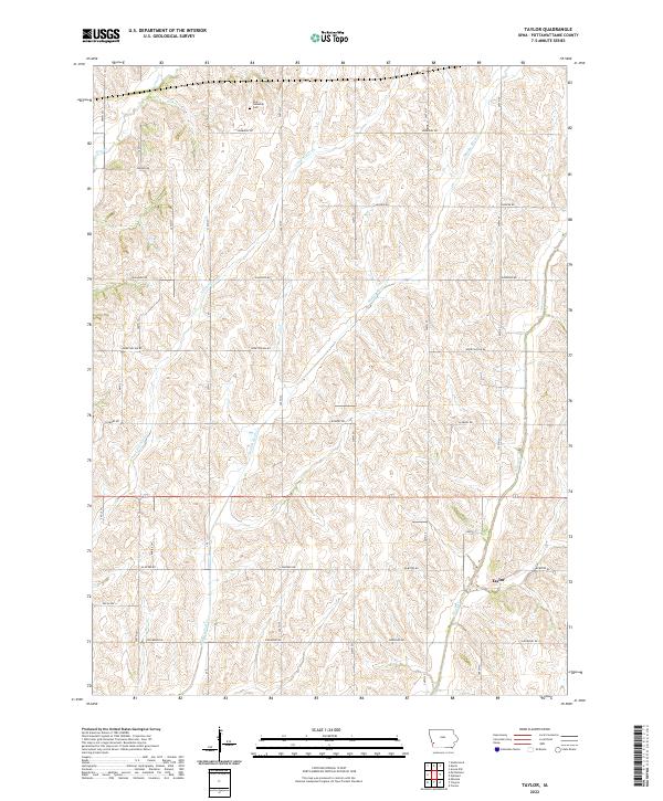
2022 Taylor
Pottawattamie County, IA