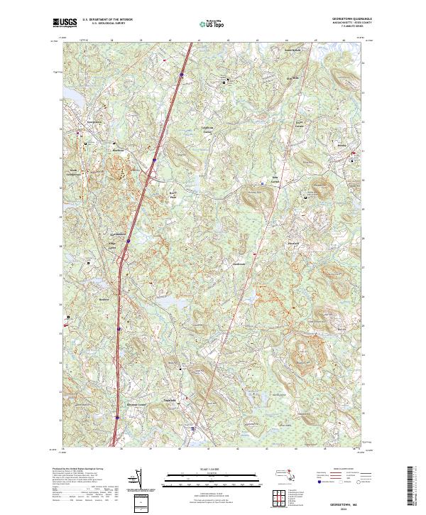
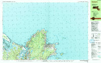
2024 Map of Georgetown
USGS Topo · Published 2024About this map
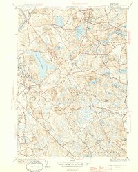
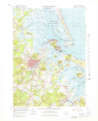
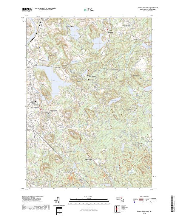
Georgetown and Topsfield serve as central hubs in this corner of Essex County, where the landscape is defined by a dense network of hills and small ponds. The area's colonial and early American heritage is evident in the numerous burial sites scattered across the townships, including the Byfield Parish Cem, the Rowley Burial Ground, and the curiously named Pox Cem near Prospect Hill.
Find a feature on this map
245 named features on this map. Tap any name to fly to it.
Don’t see what you’re looking for? This feature index may not catch every label — zoom into the map to look around manually.
Map Details
Editions of this 2024 Georgetown Map
This is the sole edition of this map. No revisions or reprints were ever made.
Historical Maps of Kent Corner Through Time
51 maps found
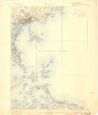
1892 Boston Bay
Essex County, MA
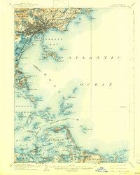
1903 Boston Bay
Essex County, MA

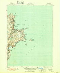
1943 Cape Ann
Essex County, MA

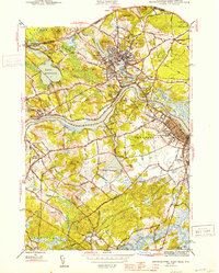
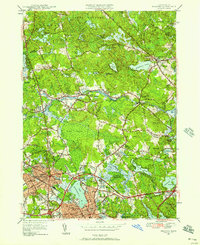
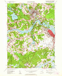
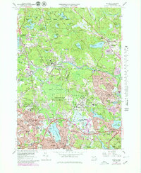
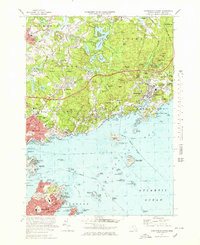
1944 Georgetown
Essex County, MA
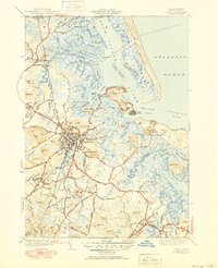
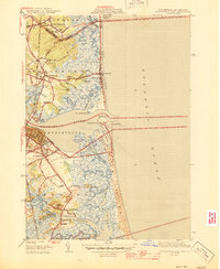
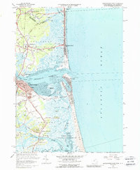
1944 Newburyport West
Essex County, MA

1944 Reading
Essex County, MA
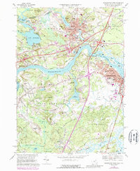
1944 South Groveland
Essex County, MA
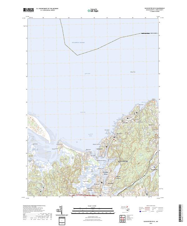
1945 Ipswich
Essex County, MA
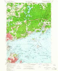
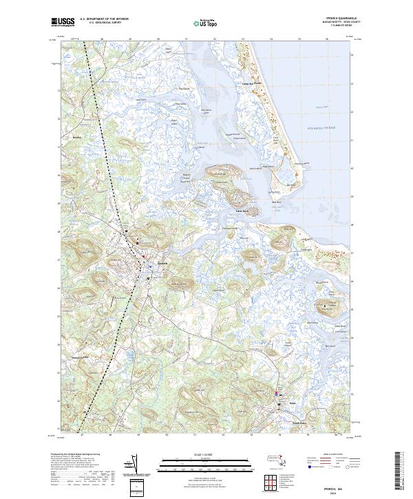
1945 Marblehead North
Essex County, MA

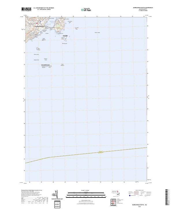
1945 Marblehead South
Essex County, MA
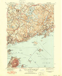
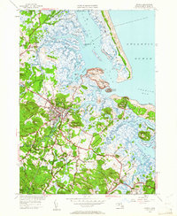
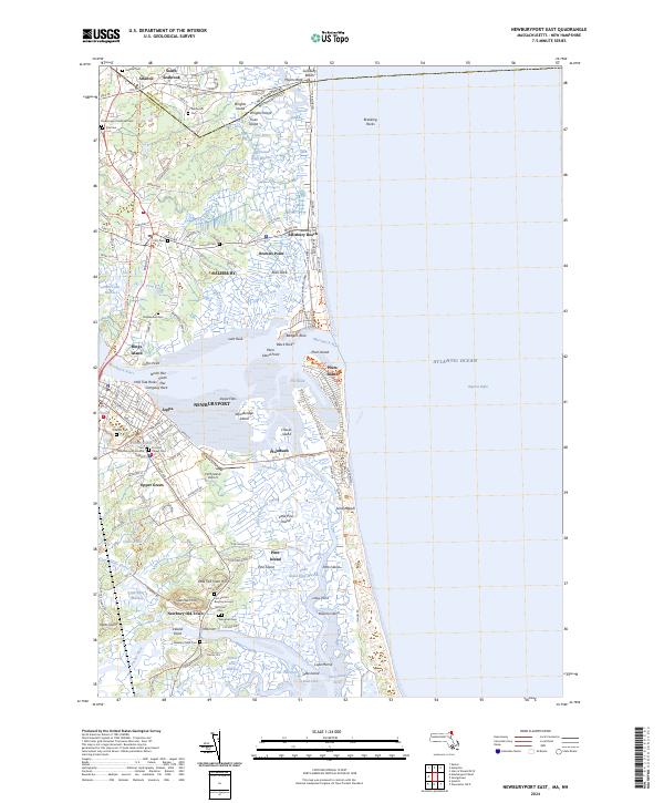
1945 Newburyport East
Essex County, MA
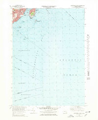
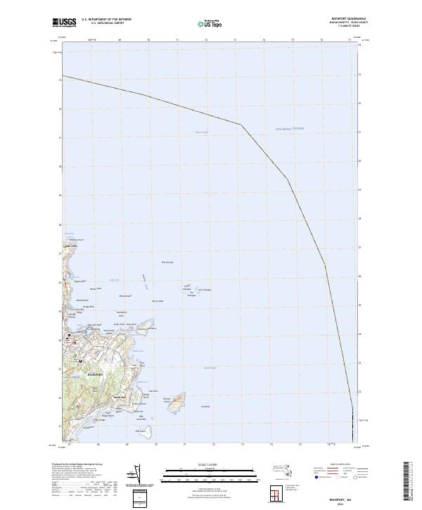
1945 Rockport
Essex County, MA

1947 Rockport
Essex County, MA

1949 Rockport
Essex County, MA
1950 Ipswich
Essex County, MA
1951 Reading
Essex County, MA
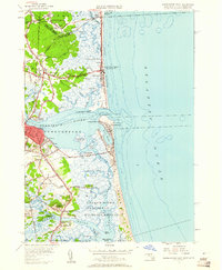
1952 Newburyport East
Essex County, MA
1952 Newburyport West
Essex County, MA
1952 South Groveland
Essex County, MA
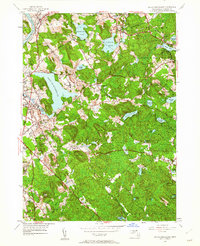
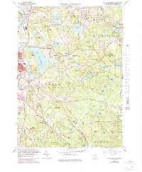
1953 Georgetown
Essex County, MA
1956 Marblehead North
Essex County, MA
1956 Marblehead South
Essex County, MA
1960 Rockport
Essex County, MA
1966 Georgetown
Essex County, MA
1966 Ipswich
Essex County, MA
1966 Newburyport East
Essex County, MA
1966 Reading
Essex County, MA
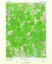
1966 South Groveland
Essex County, MA
1968 Newburyport West
Essex County, MA
1970 Marblehead North
Essex County, MA
1970 Marblehead South
Essex County, MA
1973 Rockport
Essex County, MA

1977 Marblehead North
Essex County, MA

1977 Marblehead South
Essex County, MA

1977 Newburyport East
Essex County, MA

1977 Newburyport West
Essex County, MA

1977 Reading
Essex County, MA
1984 Rockport
Essex County, MA
1985 Ipswich
Essex County, MA

1997 Ipswich
Essex County, MA
2024 Georgetown
Essex County, MA
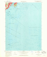
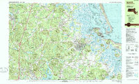
2024 Gloucester OE N
Essex County, MA
2024 Ipswich
Essex County, MA
2024 Marblehead North
Essex County, MA
2024 Marblehead South
Essex County, MA
2024 Newburyport East
Essex County, MA
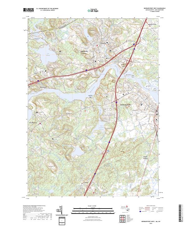
2024 Newburyport West
Essex County, MA
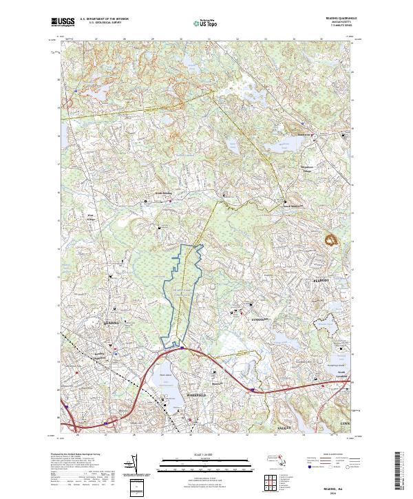
2024 Reading
Essex County, MA
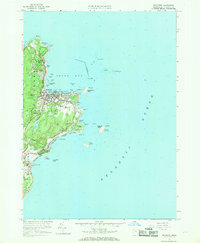
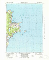
2024 Rockport
Essex County, MA
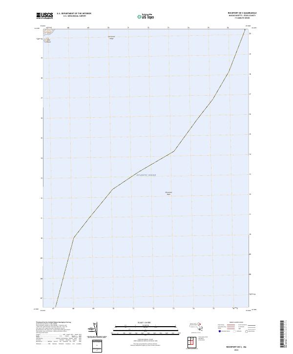
2024 Rockport OE S
Essex County, MA
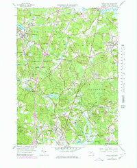
2024 South Groveland
Essex County, MA