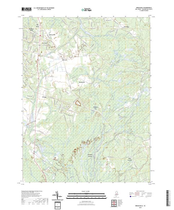
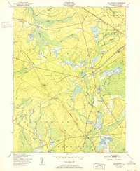
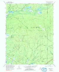
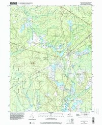
2023 Map of Indian Mills
USGS Topo · Published 2023About this map
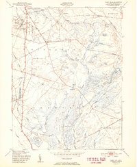
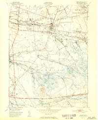
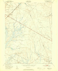
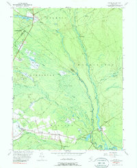
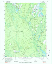
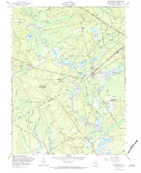
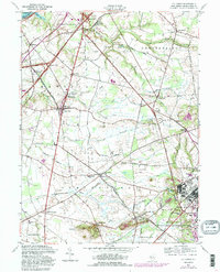
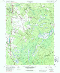
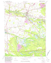
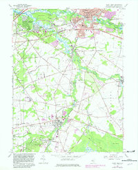
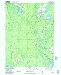
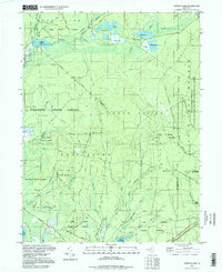
Tabernacle and Indian Mills anchor this survey of the New Jersey Pine Barrens, where the landscape is defined by its complex network of tea-colored waterways. The Batsto River flows through the central expanse, joined by numerous tributaries including Roberts Branch and the Skit Branch. The area’s industrial and agricultural history is visible in place names like Moores Mill, Hampton Furnace, and the nearby Sawmill Pond, which point to the legacy of bog iron production and timber harvesting that once drove the local economy.
Find a feature on this map
110 named features on this map. Tap any name to fly to it.
Don’t see what you’re looking for? This feature index may not catch every label — zoom into the map to look around manually.
Map Details
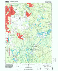
Editions of this 2023 Indian Mills Map
This is the sole edition of this map. No revisions or reprints were ever made.
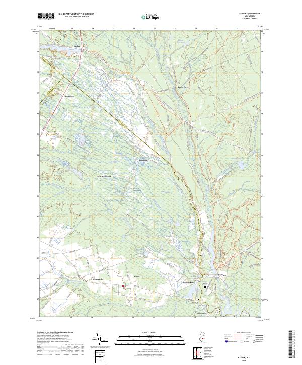
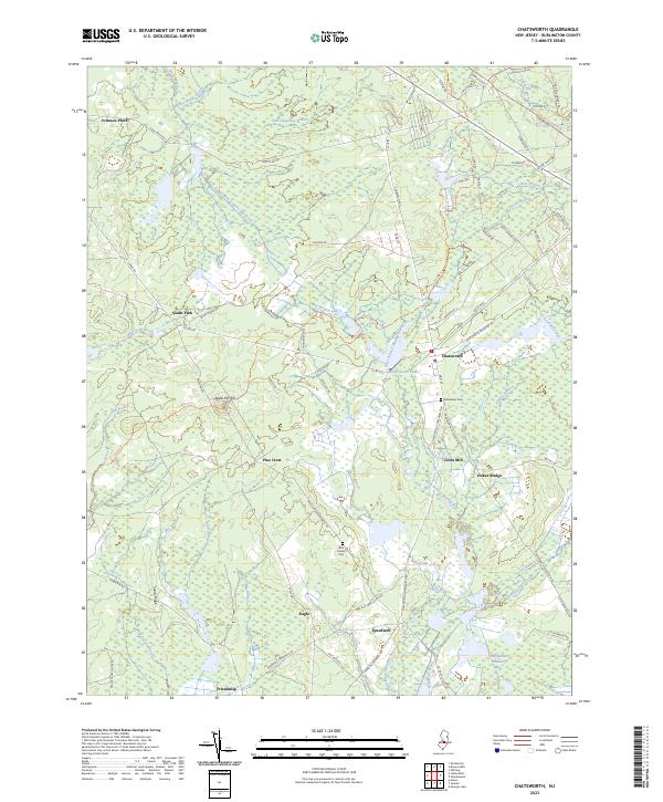
Historical Maps of Indian Mills Through Time
51 maps found

1888 Bordentown
Burlington County, NJ

1888 Mount Holly
Burlington County, NJ

1888 Pemberton
Burlington County, NJ
1893 Bordentown
Burlington County, NJ

1894 Mount Holly
Burlington County, NJ

1894 Pemberton
Burlington County, NJ

1898 Mount Holly
Burlington County, NJ
1898 Pemberton
Burlington County, NJ
1900 Rancocas
Burlington County, NJ
1906 Bordentown
Burlington County, NJ

1919 Mount Holly
Burlington County, NJ

1942 Mount Holly
Burlington County, NJ

1942 Pemberton
Burlington County, NJ

1948 Bordentown
Burlington County, NJ
1948 Columbus
Burlington County, NJ

1949 Pemberton
Burlington County, NJ
1949 Pemberton
Burlington County, NJ
1951 Chatsworth
Burlington County, NJ
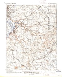
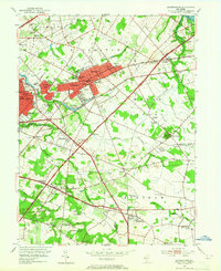
1951 Indian Mills
Burlington County, NJ
1951 Pemberton
Burlington County, NJ
1951 Woodmansie
Burlington County, NJ
1953 Atsion
Burlington County, NJ
1953 Moorestown
Burlington County, NJ
1953 Mount Holly
Burlington County, NJ
1955 Bristol
Burlington County, NJ
1955 Oswego Lake
Burlington County, NJ
1956 Jenkins
Burlington County, NJ
1957 Chatsworth
Burlington County, NJ
1957 Columbus
Burlington County, NJ
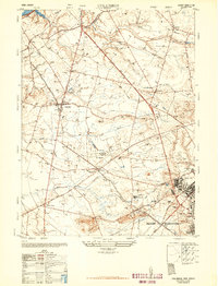
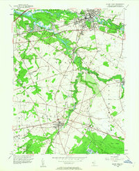
1957 Indian Mills
Burlington County, NJ
1957 Pemberton
Burlington County, NJ
1957 Woodmansie
Burlington County, NJ
1966 Moorestown
Burlington County, NJ
1967 Mount Holly
Burlington County, NJ
1995 Chatsworth
Burlington County, NJ
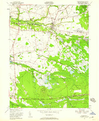
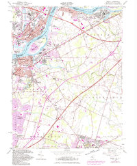
1995 Indian Mills
Burlington County, NJ

1995 Moorestown
Burlington County, NJ
1995 Woodmansie
Burlington County, NJ
1997 Atsion
Burlington County, NJ
1997 Jenkins
Burlington County, NJ
1997 Oswego Lake
Burlington County, NJ
2023 Atsion
Burlington County, NJ
2023 Chatsworth
Burlington County, NJ
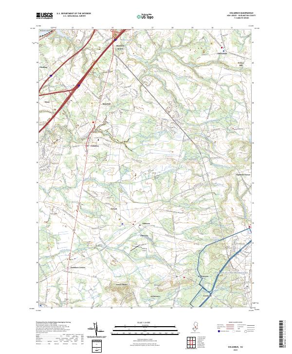
2023 Columbus
Burlington County, NJ
2023 Indian Mills
Burlington County, NJ
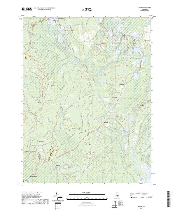
2023 Jenkins
Burlington County, NJ
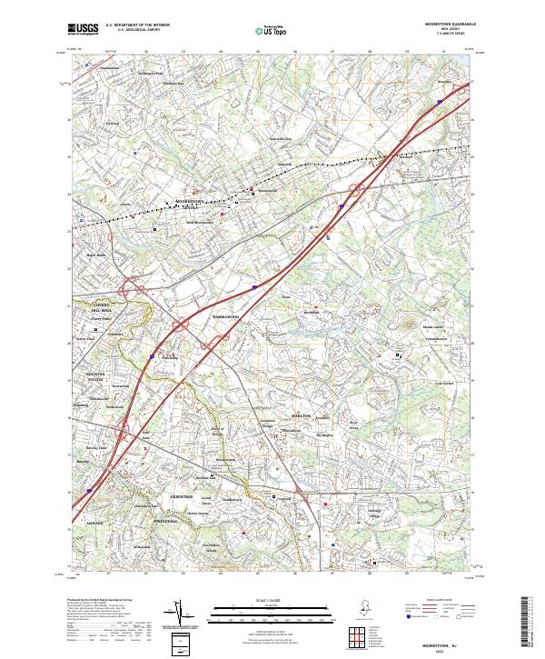
2023 Moorestown
Burlington County, NJ
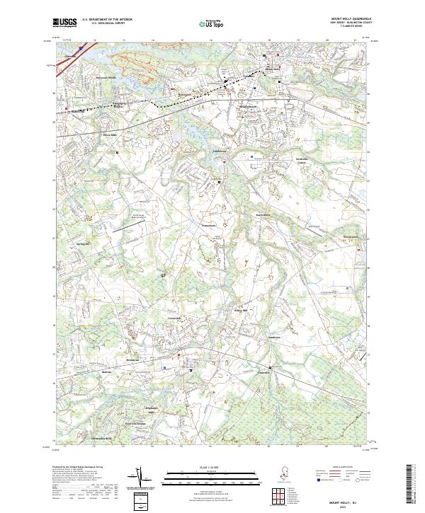
2023 Mount Holly
Burlington County, NJ
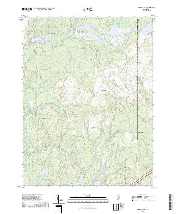
2023 Oswego Lake
Burlington County, NJ
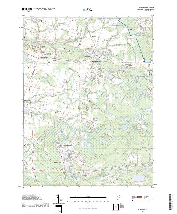
2023 Pemberton
Burlington County, NJ
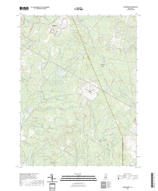
2023 Woodmansie
Burlington County, NJ
Featured Locations
- Shamong Township, NJ
- Southampton Township, NJ
- Tabernacle Township, NJ
- Indian Mills, Shamong Township
- Oak Shade, Southampton Township