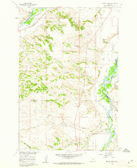
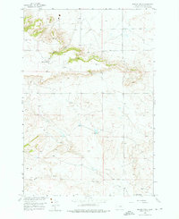
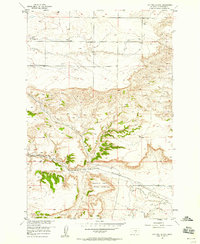
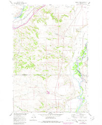
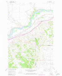
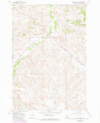
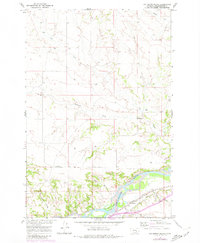
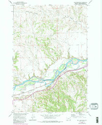
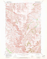
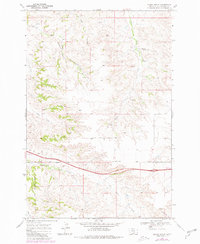
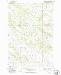
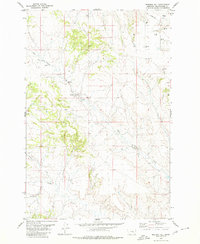
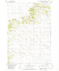
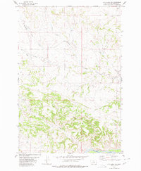
1960 Map of Mission Creek
USGS Topo · Published 1962This historical map portrays the area of Mission Creek in 1960, primarily covering Yellowstone County as well as portions of Treasure County and Big Horn County. Featuring a scale of 1:24000, this map provides a highly detailed snapshot of the terrain, roads, buildings, counties, and historical landmarks in the Mission Creek region at the time. Published in 1962, it is one of 3 known editions of this map due to revisions or reprints.
Find a feature on this map
31 named features on this map. Tap any name to fly to it.
Don’t see what you’re looking for? This feature index may not catch every label — zoom into the map to look around manually.
Map Details
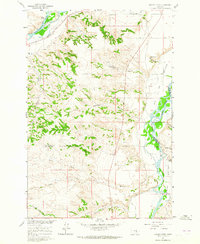
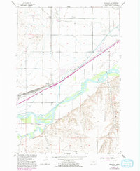
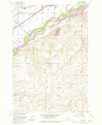
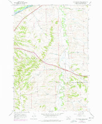
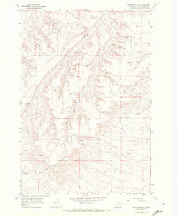
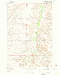
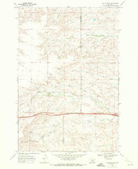
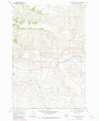
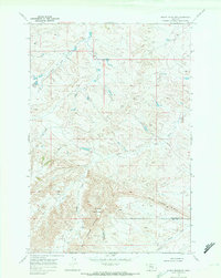
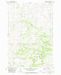
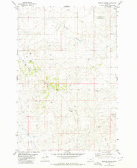
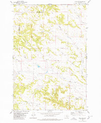
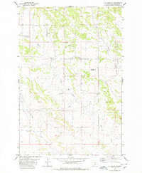
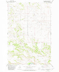
Editions of this 1960 Mission Creek Map
3 editions found
Historical Maps of Big Horn County Through Time
40 maps found
1956 Billings East
Yellowstone County, MT
1956 Comanche
Yellowstone County, MT
1956 Hickson Ranch
Yellowstone County, MT
1956 Mossmain
Yellowstone County, MT
1956 Rattlesnake Butte
Yellowstone County, MT
1956 Rimrock
Yellowstone County, MT
1956 Two Pine School
Yellowstone County, MT
1956 Yegen
Yellowstone County, MT
1957 Billings West
Yellowstone County, MT
1960 Coal Bank Creek
Yellowstone County, MT
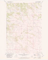
1960 Mission Creek
Yellowstone County, MT
1960 Waco
Yellowstone County, MT
1967 Badbaby Coulee
Yellowstone County, MT
1967 Big Marys Island
Yellowstone County, MT
1967 Bull Mountain
Yellowstone County, MT
1967 Cottonwood Creek
Yellowstone County, MT
1967 Mossmain SW
Yellowstone County, MT
1967 Soda Springs NW
Yellowstone County, MT
1967 Soda Springs
Yellowstone County, MT
1967 Stratford Hill
Yellowstone County, MT
1967 Vale Creek Ranch
Yellowstone County, MT
1969 Gails Coulee
Yellowstone County, MT
1969 Indian Arrow
Yellowstone County, MT
1969 Woody Mountain NW
Yellowstone County, MT
1969 Woody Mountain
Yellowstone County, MT
1979 Broadview East
Yellowstone County, MT
1980 Bull Mountain NW
Yellowstone County, MT
1980 Cotton Creek
Yellowstone County, MT
1980 Dunn Mountain South
Yellowstone County, MT
1980 Hay Basin South
Yellowstone County, MT
1980 Mailbox Hill
Yellowstone County, MT
1980 Mexican Buttes
Yellowstone County, MT
1980 Mud Butte
Yellowstone County, MT
1980 North Fork Crooked Creek East
Yellowstone County, MT
1980 North Fork Crooked Creek West
Yellowstone County, MT
1980 Pine View
Yellowstone County, MT
1980 P K Ranch NE
Yellowstone County, MT
1980 P K Ranch SE
Yellowstone County, MT
1980 P K Ranch SW
Yellowstone County, MT
1980 P K Ranch
Yellowstone County, MT