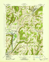
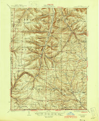
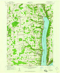
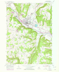
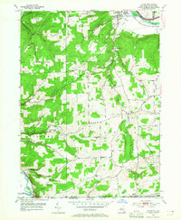
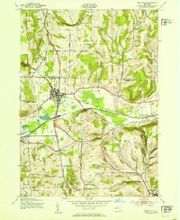
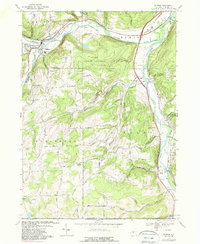
1942 Map of Naples
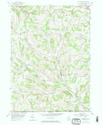
USGS Topo · Published 1942This historical map portrays the area of Naples in 1942, primarily covering Steuben County as well as portions of Ontario County and Livingston County. Featuring a scale of 1:31680, this map provides a highly detailed snapshot of the terrain, roads, buildings, counties, and historical landmarks in the Naples region at the time. Published in 1942, it is one of 4 known editions of this map due to revisions or reprints.
Find a feature on this map
54 named features on this map. Tap any name to fly to it.
Don’t see what you’re looking for? This feature index may not catch every label — zoom into the map to look around manually.
Map Details
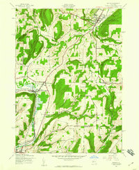
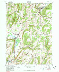
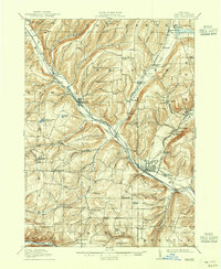
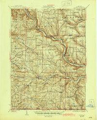
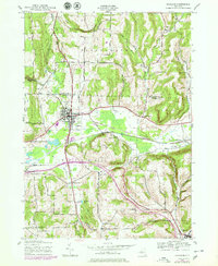
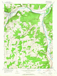
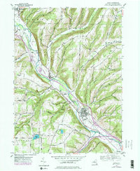
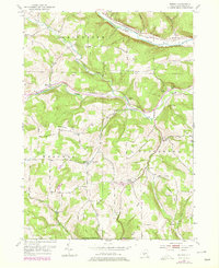
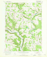
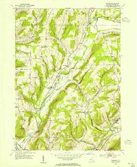
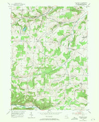
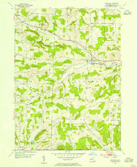
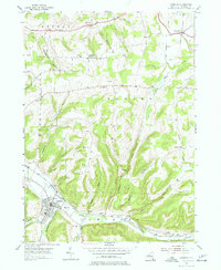
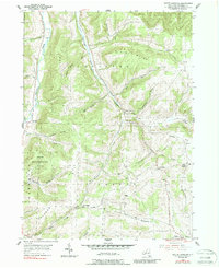
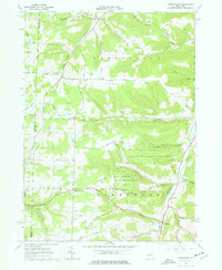
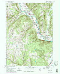
Editions of this 1942 Naples Map
4 editions found
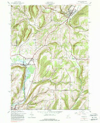
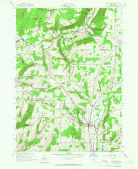
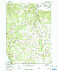
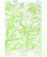
Historical Maps of Naples Through Time
32 maps found
1910 Bath
Steuben County, NY
1926 Greenwood
Steuben County, NY
1926 Woodhull
Steuben County, NY
1942 Naples
Steuben County, NY
1942 Prattsburg
Steuben County, NY
1942 Pulteney
Steuben County, NY

1942 Wayland
Steuben County, NY
1943 Wayland
Steuben County, NY

1944 Woodhull
Steuben County, NY
1953 Addison
Steuben County, NY
1953 Avoca
Steuben County, NY
1953 Bath
Steuben County, NY
1953 Borden
Steuben County, NY
1953 Cameron
Steuben County, NY
1953 Campbell
Steuben County, NY
1953 Caton
Steuben County, NY
1953 Rathbone
Steuben County, NY
1953 Rheims
Steuben County, NY
1953 Towlesville
Steuben County, NY
1953 Wayland
Steuben County, NY
1953 Woodhull
Steuben County, NY
1954 Canisteo
Steuben County, NY
1954 South Canisteo
Steuben County, NY
1954 Troupsburg
Steuben County, NY
1965 Greenwood
Steuben County, NY
1965 Haskinville
Steuben County, NY
1965 Rexville
Steuben County, NY
1969 Addison
Steuben County, NY
1969 Campbell
Steuben County, NY
1969 Caton
Steuben County, NY

1978 Greenwood
Steuben County, NY
1978 Haskinville
Steuben County, NY