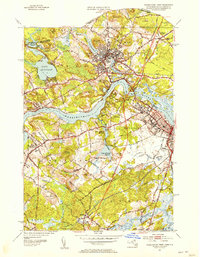
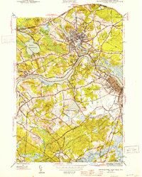
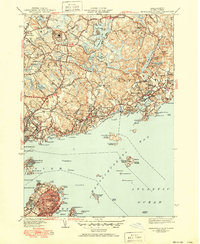
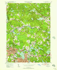
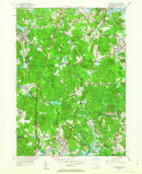
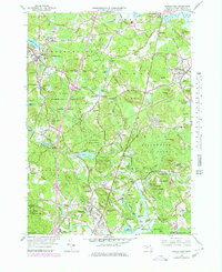
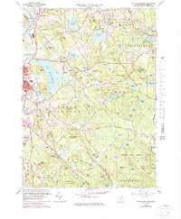
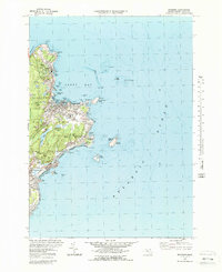
1952 Map of Newburyport West
USGS Topo · Published 1953This historical map portrays the area of Newburyport West in 1952, primarily covering Essex County as well as portions of New Hampshire. Featuring a scale of 1:31680, this map provides a highly detailed snapshot of the terrain, roads, buildings, counties, and historical landmarks in the Newburyport West region at the time. Published in 1953, it is one of 4 known editions of this map due to revisions or reprints.
Find a feature on this map
73 named features on this map. Tap any name to fly to it.
Don’t see what you’re looking for? This feature index may not catch every label — zoom into the map to look around manually.
Map Details
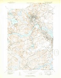
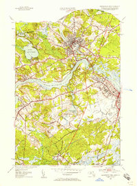
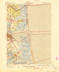
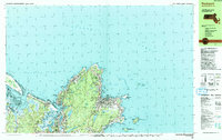
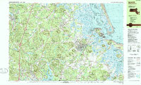
Editions of this 1952 Newburyport West Map
4 editions found
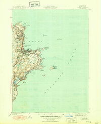
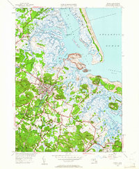
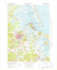
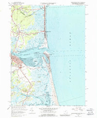
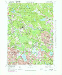
Historical Maps of Salisbury Point Through Time
40 maps found
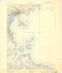
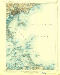
1892 Boston Bay
Essex County, MA
1903 Boston Bay
Essex County, MA

1943 Cape Ann
Essex County, MA

1944 Georgetown
Essex County, MA
1944 Newburyport West
Essex County, MA

1944 Reading
Essex County, MA
1944 South Groveland
Essex County, MA
1945 Ipswich
Essex County, MA
1945 Marblehead North
Essex County, MA

1945 Marblehead South
Essex County, MA
1945 Newburyport East
Essex County, MA
1945 Rockport
Essex County, MA

1947 Rockport
Essex County, MA

1949 Rockport
Essex County, MA
1950 Ipswich
Essex County, MA
1951 Reading
Essex County, MA
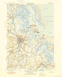
1952 Newburyport East
Essex County, MA
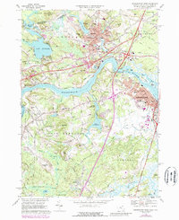
1952 Newburyport West
Essex County, MA
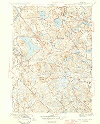
1952 South Groveland
Essex County, MA
1953 Georgetown
Essex County, MA
1956 Marblehead North
Essex County, MA
1956 Marblehead South
Essex County, MA
1960 Rockport
Essex County, MA
1966 Georgetown
Essex County, MA
1966 Ipswich
Essex County, MA
1966 Newburyport East
Essex County, MA
1966 Reading
Essex County, MA
1966 South Groveland
Essex County, MA
1968 Newburyport West
Essex County, MA
1970 Marblehead North
Essex County, MA
1970 Marblehead South
Essex County, MA
1973 Rockport
Essex County, MA

1977 Marblehead North
Essex County, MA

1977 Marblehead South
Essex County, MA

1977 Newburyport East
Essex County, MA

1977 Newburyport West
Essex County, MA

1977 Reading
Essex County, MA
1984 Rockport
Essex County, MA
1985 Ipswich
Essex County, MA

1997 Ipswich
Essex County, MA