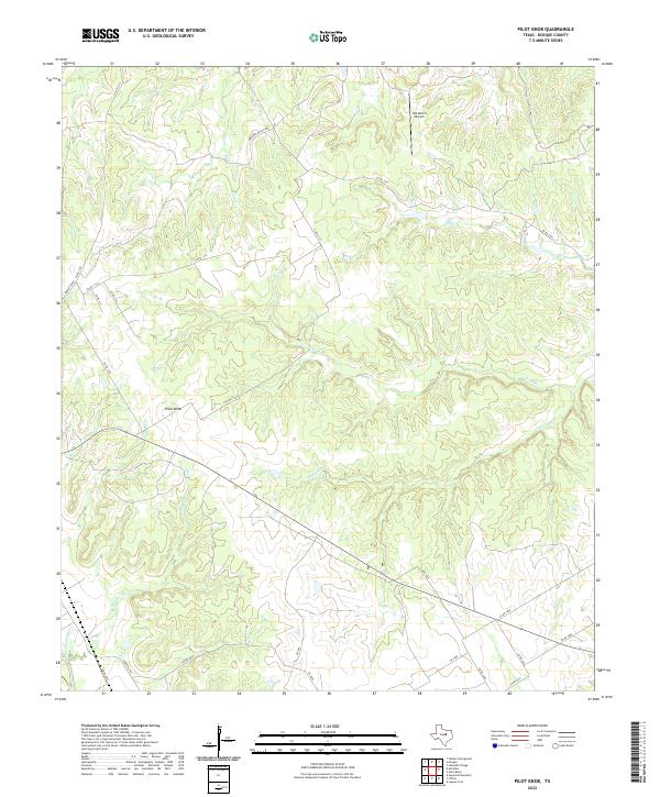
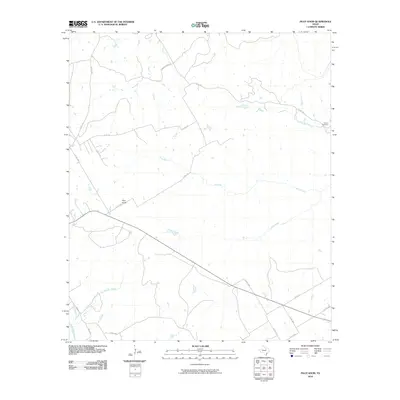
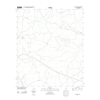
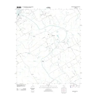
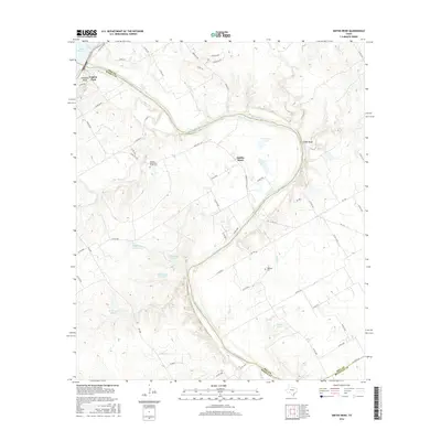
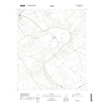
2022 Map of Pilot Knob
USGS Topo · Published 2022About this map
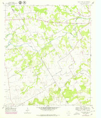
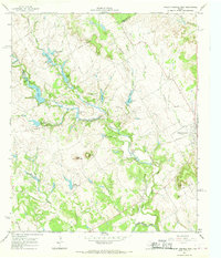
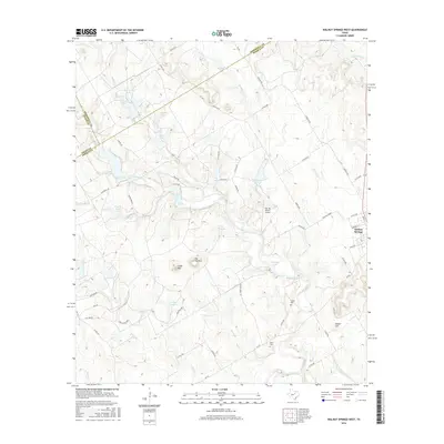
Pilot Knob rises as the primary topographic landmark in this section of Bosque County, anchoring a landscape defined by the drainage networks of Cedron Cr and its various tributaries. The map shows a transition from the higher elevations near the knob down through the winding paths of Toms Br and Stanifer Br. This area is characterized by rural ranching and aviation, notably featuring the W4 Ranch Airport in the northern portion of the quadrangle.
Find a feature on this map
24 named features on this map. Tap any name to fly to it.
Don’t see what you’re looking for? This feature index may not catch every label — zoom into the map to look around manually.
Map Details
Editions of this 2022 Pilot Knob Map
This is the sole edition of this map. No revisions or reprints were ever made.
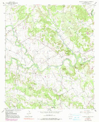
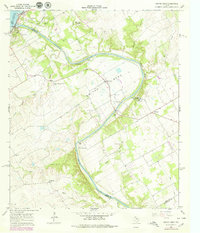
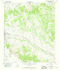
Historical Maps of Bosque County Through Time
49 maps found
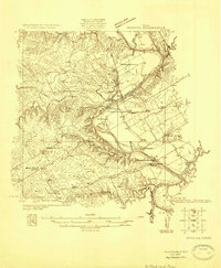
1924 Waco 2-b
Bosque County, TX
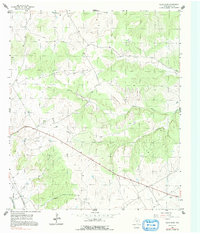
1955 Pilot Knob
Bosque County, TX
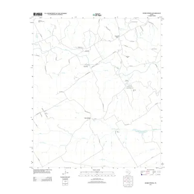
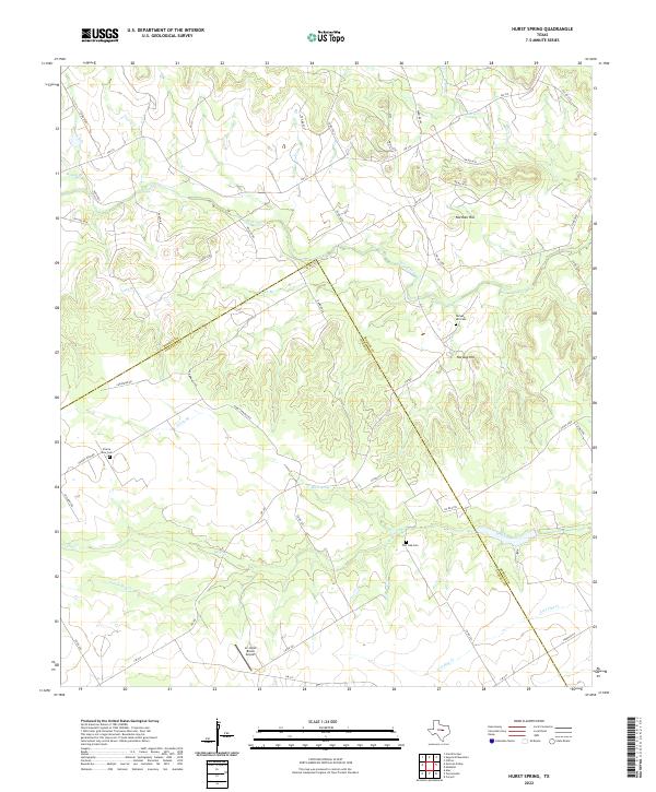
1956 Hurst Spring
Bosque County, TX
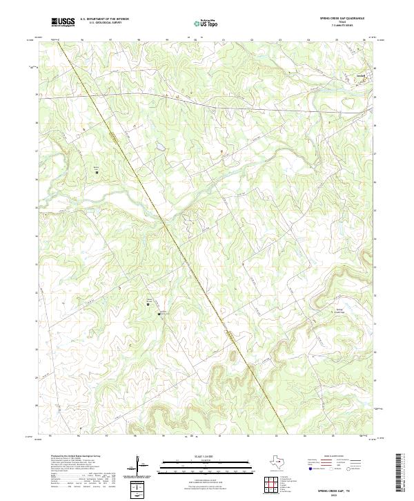
1956 Spring Creek Gap
Bosque County, TX
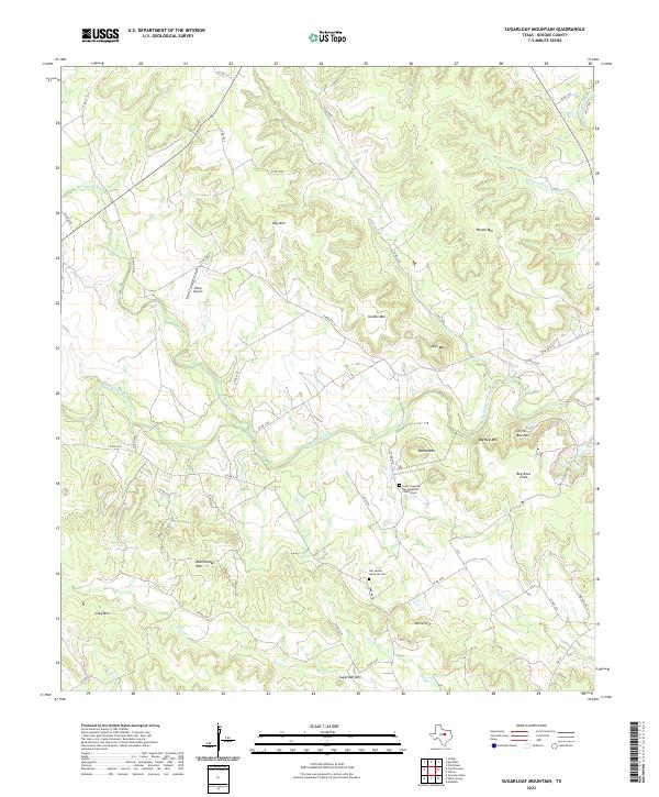
1956 Sugarloaf Mountain
Bosque County, TX
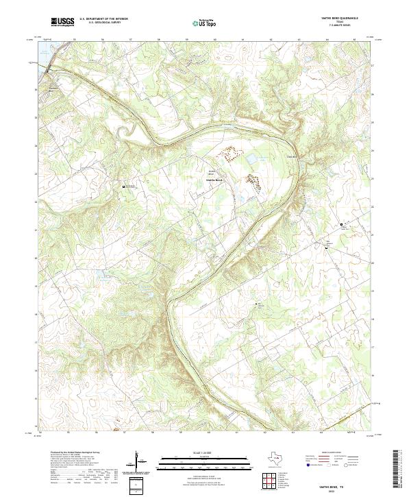
1966 Smiths Bend
Bosque County, TX
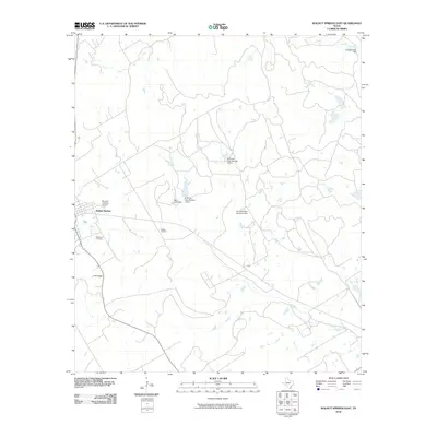
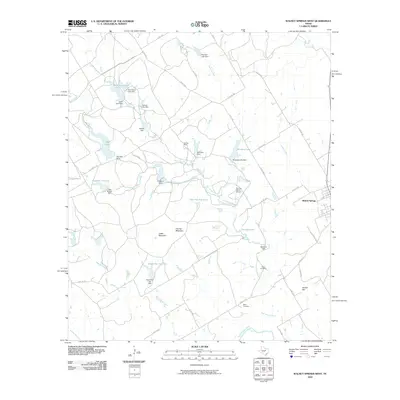
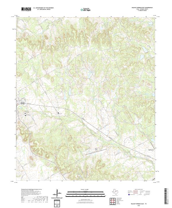
1966 Walnut Springs East
Bosque County, TX
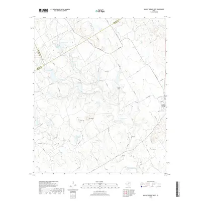
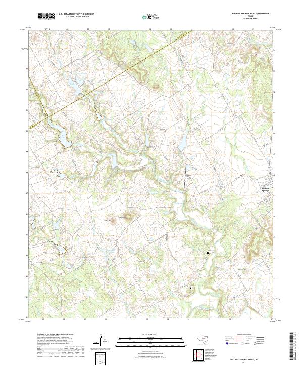
1966 Walnut Springs West
Bosque County, TX
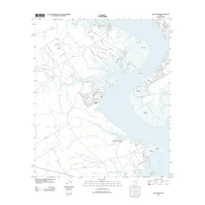
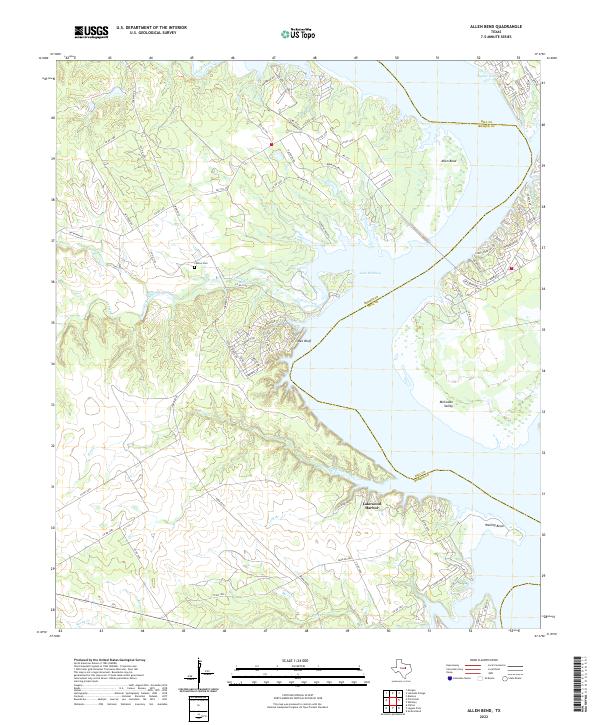
1968 Allen Bend
Bosque County, TX
2010 Allen Bend
Bosque County, TX
2010 Hurst Spring
Bosque County, TX
2010 Pilot Knob
Bosque County, TX
2010 Smiths Bend
Bosque County, TX
2010 Spring Creek Gap
Bosque County, TX
2010 Sugarloaf Mountain
Bosque County, TX
2010 Walnut Springs East
Bosque County, TX
2010 Walnut Springs West
Bosque County, TX
2012 Allen Bend
Bosque County, TX
2012 Hurst Spring
Bosque County, TX
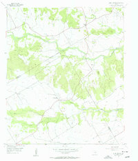
2012 Pilot Knob
Bosque County, TX
2012 Spring Creek Gap
Bosque County, TX
2012 Sugarloaf Mountain
Bosque County, TX
2012 Walnut Springs West
Bosque County, TX
2013 Smiths Bend
Bosque County, TX
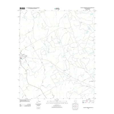
2013 Walnut Springs East
Bosque County, TX
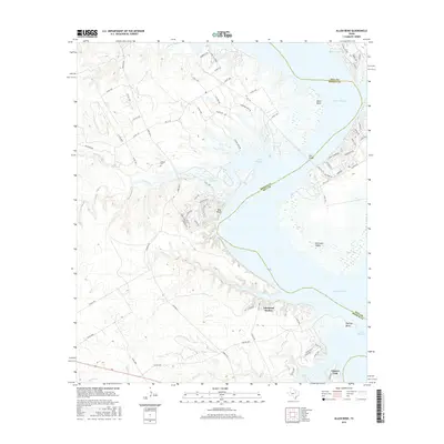
2016 Allen Bend
Bosque County, TX
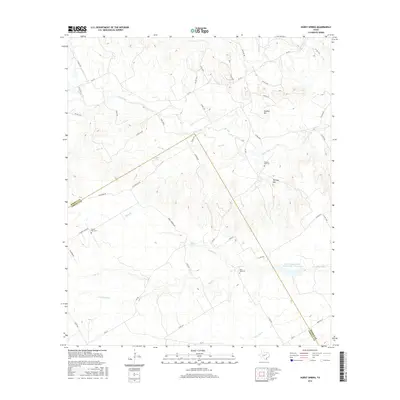
2016 Hurst Spring
Bosque County, TX

2016 Pilot Knob
Bosque County, TX
2016 Smiths Bend
Bosque County, TX
2016 Spring Creek Gap
Bosque County, TX
2016 Sugarloaf Mountain
Bosque County, TX
2016 Walnut Springs East
Bosque County, TX
2016 Walnut Springs West
Bosque County, TX
2019 Allen Bend
Bosque County, TX
2019 Hurst Spring
Bosque County, TX
2019 Pilot Knob
Bosque County, TX
2019 Smiths Bend
Bosque County, TX
2019 Spring Creek Gap
Bosque County, TX
2019 Sugarloaf Mountain
Bosque County, TX
2019 Walnut Springs East
Bosque County, TX
2019 Walnut Springs West
Bosque County, TX
2022 Allen Bend
Bosque County, TX
2022 Hurst Spring
Bosque County, TX
2022 Pilot Knob
Bosque County, TX
2022 Smiths Bend
Bosque County, TX
2022 Spring Creek Gap
Bosque County, TX
2022 Sugarloaf Mountain
Bosque County, TX
2022 Walnut Springs East
Bosque County, TX
2022 Walnut Springs West
Bosque County, TX