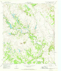
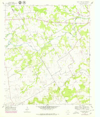
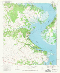
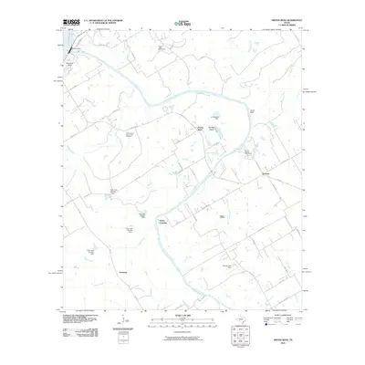
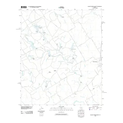
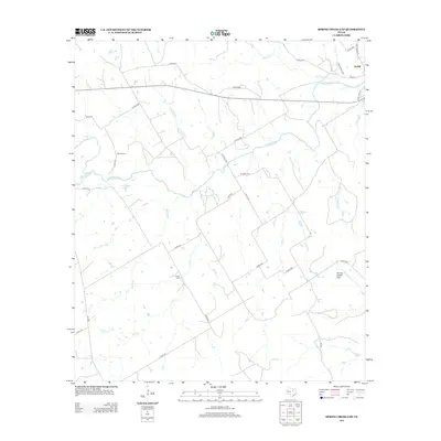
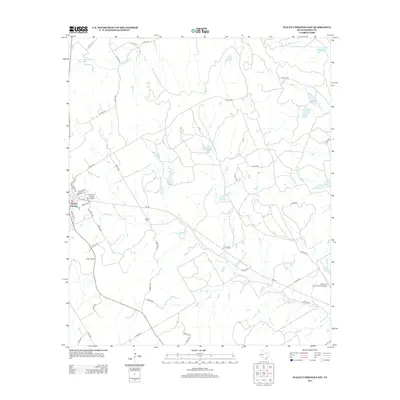
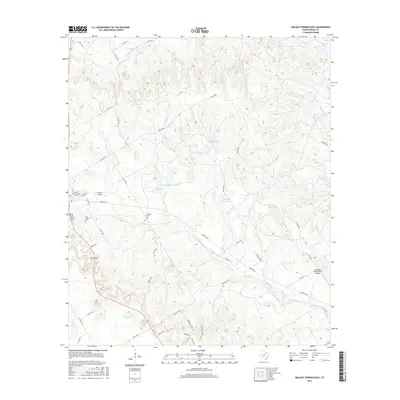
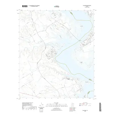
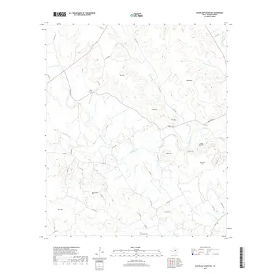
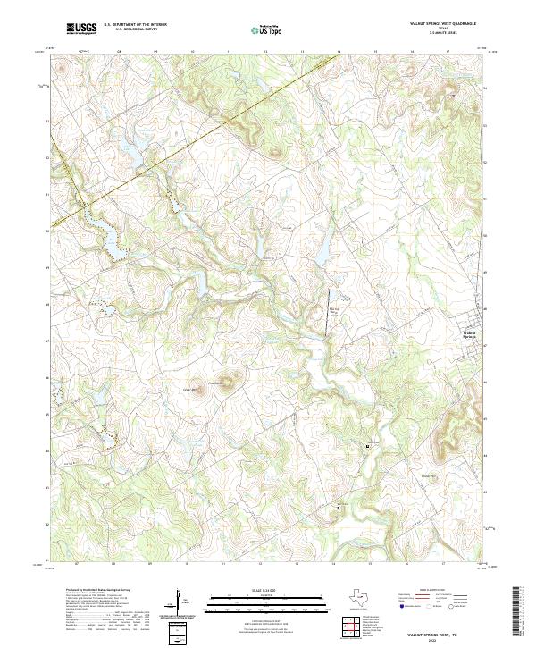
1966 Map of Walnut Springs West
USGS Topo · Published 1968About this map
Flat Top Ranch dominates the landscape of the northern Bosque country in the mid-1960s, showing an extensive network of private water management and aviation infrastructure. The terrain is defined by the convergence of the East Bosque River and the North Bosque River, with numerous artificial impoundments like Irrigation Lake and Old Lake supporting the ranching operations. To the east, the settlement of Walnut Springs sits along a rail corridor marked as abandoned, indicating the shift away from the old railroad economy that once sustained these small Texas towns.
Find a feature on this map
38 named features on this map. Tap any name to fly to it.
Don’t see what you’re looking for? This feature index may not catch every label — zoom into the map to look around manually.
Map Details
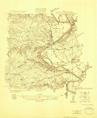
Editions of this 1966 Walnut Springs West Map
This is the sole edition of this map. No revisions or reprints were ever made.
Historical Maps of Walnut Springs Through Time
49 maps found
1924 Waco 2-b
Bosque County, TX
1955 Pilot Knob
Bosque County, TX
1956 Hurst Spring
Bosque County, TX
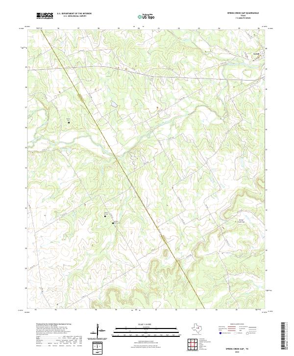
1956 Spring Creek Gap
Bosque County, TX
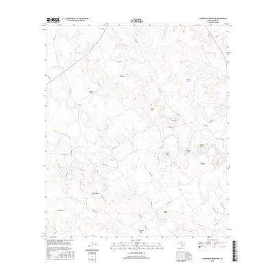
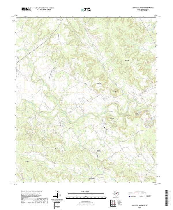
1956 Sugarloaf Mountain
Bosque County, TX
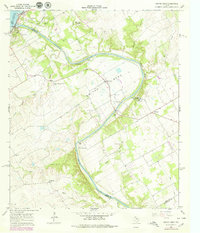
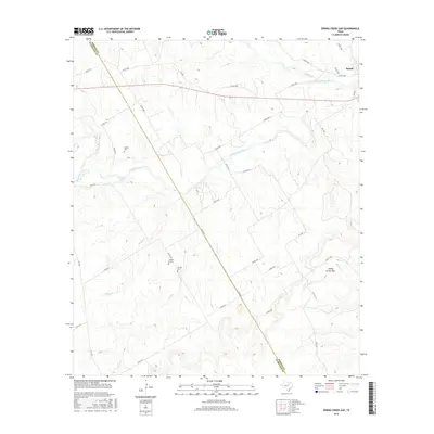
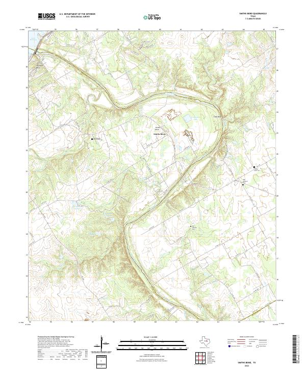
1966 Smiths Bend
Bosque County, TX
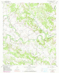
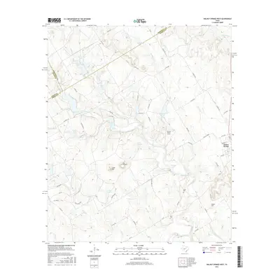
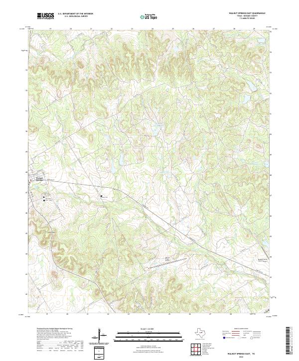
1966 Walnut Springs East
Bosque County, TX
1966 Walnut Springs West
Bosque County, TX
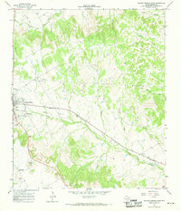
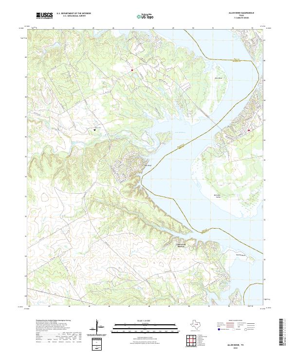
1968 Allen Bend
Bosque County, TX
2010 Allen Bend
Bosque County, TX
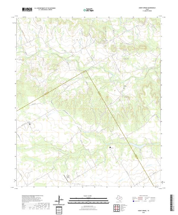
2010 Hurst Spring
Bosque County, TX
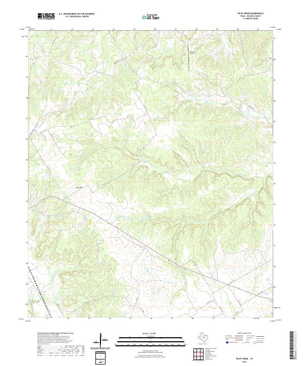
2010 Pilot Knob
Bosque County, TX
2010 Smiths Bend
Bosque County, TX
2010 Spring Creek Gap
Bosque County, TX
2010 Sugarloaf Mountain
Bosque County, TX
2010 Walnut Springs East
Bosque County, TX
2010 Walnut Springs West
Bosque County, TX
2012 Allen Bend
Bosque County, TX
2012 Hurst Spring
Bosque County, TX
2012 Pilot Knob
Bosque County, TX
2012 Spring Creek Gap
Bosque County, TX
2012 Sugarloaf Mountain
Bosque County, TX
2012 Walnut Springs West
Bosque County, TX
2013 Smiths Bend
Bosque County, TX
2013 Walnut Springs East
Bosque County, TX
2016 Allen Bend
Bosque County, TX
2016 Hurst Spring
Bosque County, TX

2016 Pilot Knob
Bosque County, TX
2016 Smiths Bend
Bosque County, TX
2016 Spring Creek Gap
Bosque County, TX
2016 Sugarloaf Mountain
Bosque County, TX
2016 Walnut Springs East
Bosque County, TX
2016 Walnut Springs West
Bosque County, TX
2019 Allen Bend
Bosque County, TX
2019 Hurst Spring
Bosque County, TX
2019 Pilot Knob
Bosque County, TX
2019 Smiths Bend
Bosque County, TX
2019 Spring Creek Gap
Bosque County, TX
2019 Sugarloaf Mountain
Bosque County, TX
2019 Walnut Springs East
Bosque County, TX
2019 Walnut Springs West
Bosque County, TX
2022 Allen Bend
Bosque County, TX
2022 Hurst Spring
Bosque County, TX
2022 Pilot Knob
Bosque County, TX
2022 Smiths Bend
Bosque County, TX
2022 Spring Creek Gap
Bosque County, TX
2022 Sugarloaf Mountain
Bosque County, TX
2022 Walnut Springs East
Bosque County, TX
2022 Walnut Springs West
Bosque County, TX