2024 Map of Razorville
USGS Topo · Published 2024About this map
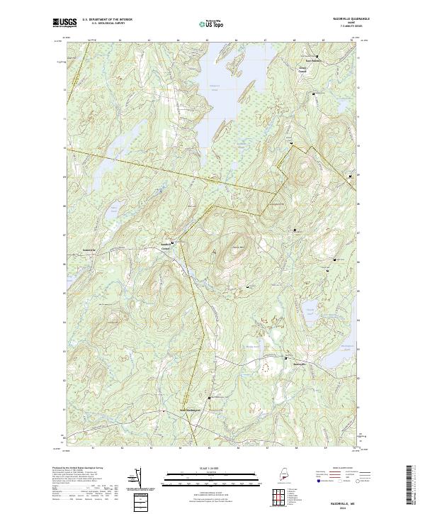
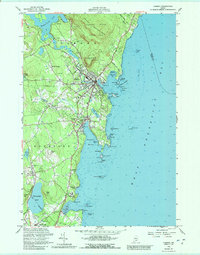
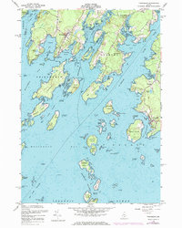
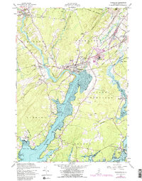
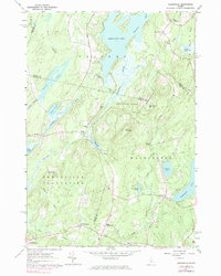
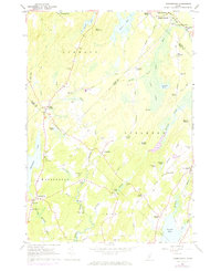
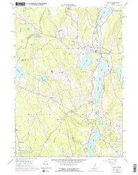
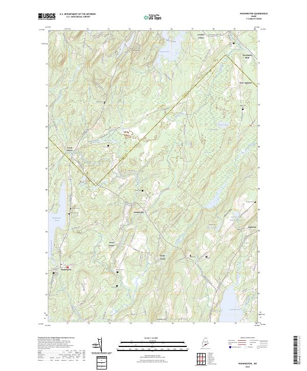
The Lincoln and Knox County boundary runs through a landscape defined by glacial ponds and ridges in this 2024 survey. Small settlements like Razorville and West Washington anchor a network of rural roads that connect family-named landmarks and historic burying grounds. The geography is characterized by prominent elevations including Patrick Mtn and Cunningham Mtn, which overlook significant water bodies such as Sheepscot Pond and Washington Pond. Genealogists will find a high density of rural cemeteries, including the Marr Cem near Muddy Pond and the West Washington Cem along Rte 206. This modern topographic study records the persistent rural character of the region, where waterways like Davis Stream and Little Medomak Brook still dictate the flow of local travel and land use.
Find a feature on this map
94 named features on this map. Tap any name to fly to it.
Don’t see what you’re looking for? This feature index may not catch every label — zoom into the map to look around manually.
Map Details
Editions of this 2024 Razorville Map
This is the sole edition of this map. No revisions or reprints were ever made.
Historical Maps of Jefferson Through Time
50 maps found

1904 Tenants Harbor
Knox County, ME
1904 Vinalhaven
Knox County, ME

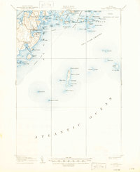
1906 Matinicus
Knox County, ME
1906 Tenants Harbor
Knox County, ME

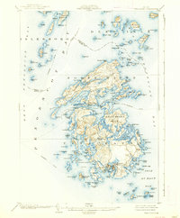
1941 Vinalhaven
Knox County, ME
1944 Vinalhaven
Knox County, ME
1955 Camden
Knox County, ME
1955 Friendship
Knox County, ME
1955 Hewett Island
Knox County, ME

1955 Monhegan
Knox County, ME

1955 Tenants Harbor
Knox County, ME
1955 Thomaston
Knox County, ME

1955 West Rockport
Knox County, ME
1961 Razorville
Knox County, ME
1961 Washington
Knox County, ME
1965 Union
Knox County, ME

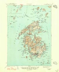
1982 Leadbetter Island
Knox County, ME

1982 North Haven East
Knox County, ME
1982 Vinalhaven
Knox County, ME

1983 Isle Au Haut East
Knox County, ME

1983 Isle Au Haut West
Knox County, ME

1983 North Haven West
Knox County, ME

1985 Matinicus
Knox County, ME

1994 Matinicus
Knox County, ME

2000 Camden
Knox County, ME

2000 Vinalhaven
Knox County, ME
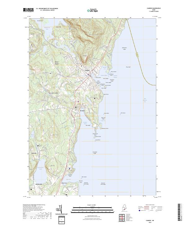
2024 Camden
Knox County, ME

2024 Friendship
Knox County, ME

2024 Hewett Island
Knox County, ME
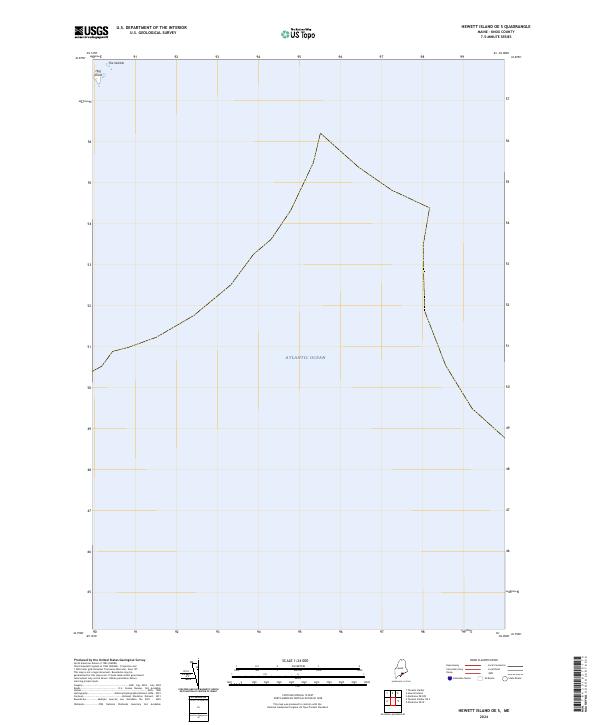
2024 Hewett Island OE S
Knox County, ME
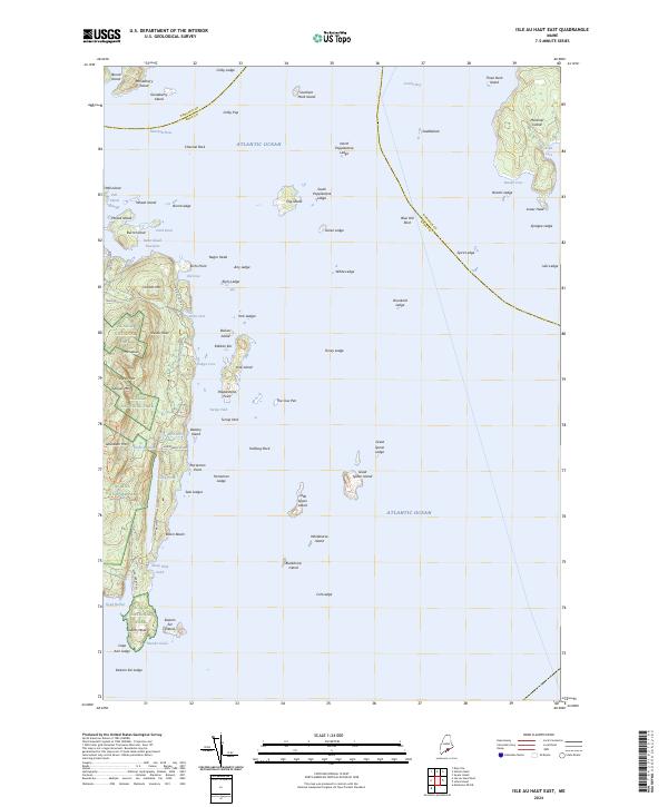
2024 Isle Au Haut East
Knox County, ME
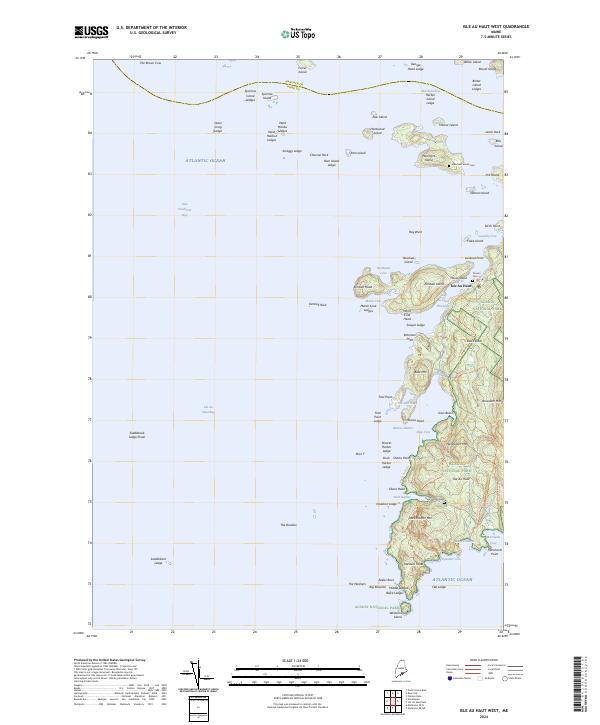
2024 Isle Au Haut West
Knox County, ME
2024 Leadbetter Island
Knox County, ME
2024 Matinicus
Knox County, ME
2024 Matinicus OE E
Knox County, ME
2024 Matinicus OE NE
Knox County, ME
2024 Matinicus OE N
Knox County, ME

2024 Matinicus OE NW
Knox County, ME
2024 Matinicus OE W
Knox County, ME
2024 Monhegan
Knox County, ME
2024 North Haven East
Knox County, ME
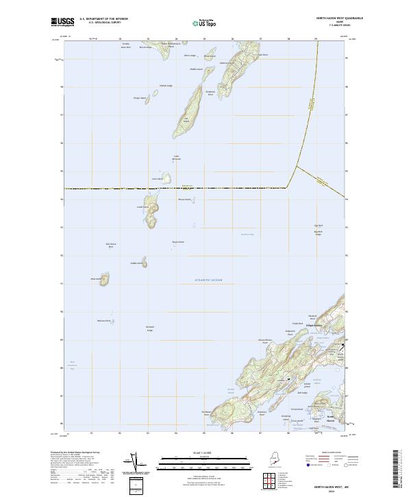
2024 North Haven West
Knox County, ME
2024 Razorville
Knox County, ME

2024 Tenants Harbor
Knox County, ME
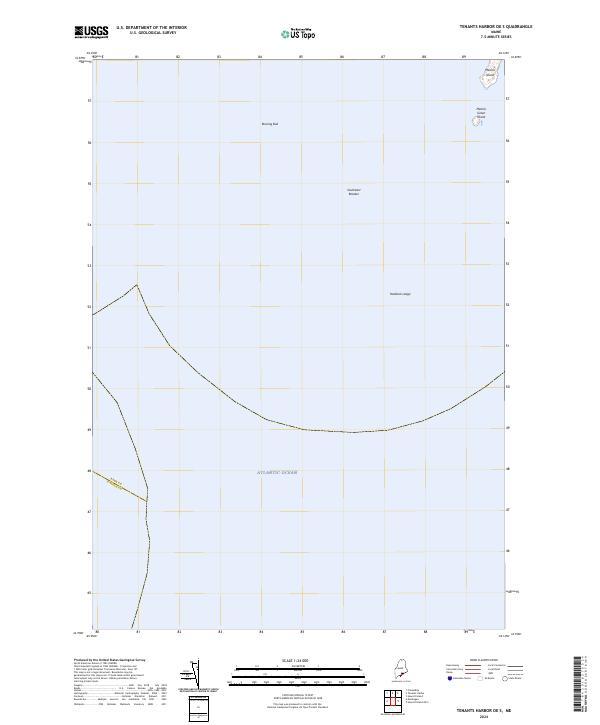
2024 Tenants Harbor OE S
Knox County, ME

2024 Thomaston
Knox County, ME
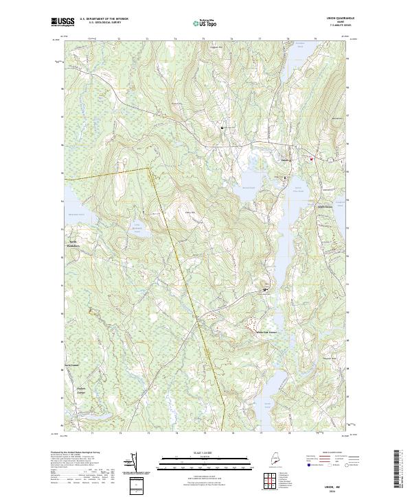
2024 Union
Knox County, ME
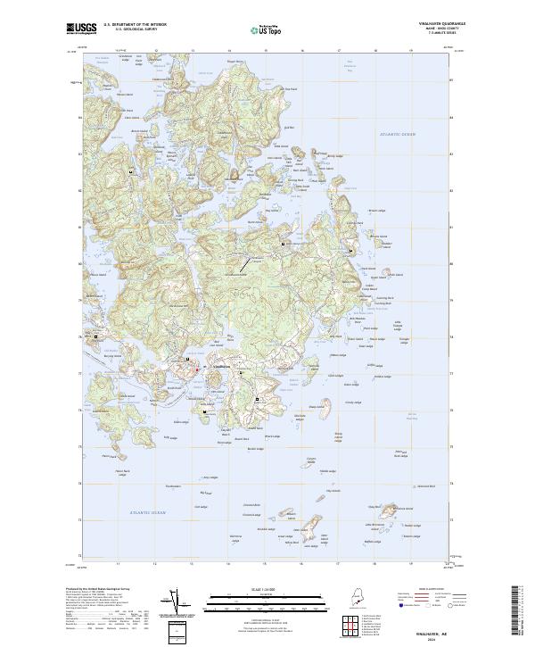
2024 Vinalhaven
Knox County, ME
2024 Washington
Knox County, ME
2024 West Rockport
Knox County, ME