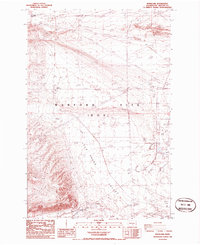
1986 Map of Riverland
USGS Topo · Published 1986This historical map portrays the area of Riverland in 1986, primarily covering Benton County. Featuring a scale of 1:24000, this map provides a highly detailed snapshot of the terrain, roads, buildings, counties, and historical landmarks in the Riverland region at the time. Published in 1986, it is the sole known edition of this map.
Map Details
Editions of this 1986 Riverland Map
This is the sole edition of this map. No revisions or reprints were ever made.
Historical Maps of Benton County Through Time
38 maps found
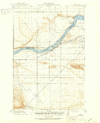
1916 Coyote Rapids
Benton County, WA
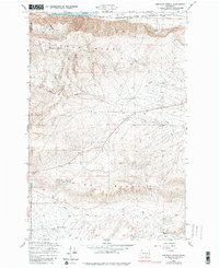
1948 Emerson Nipple
Benton County, WA
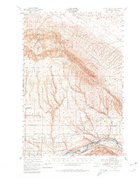
1951 Corral Canyon
Benton County, WA
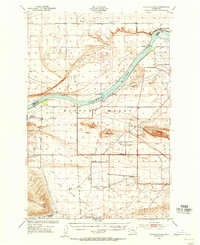
1951 Coyote Rapids
Benton County, WA
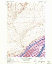
1962 Blalock Island
Benton County, WA
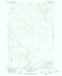
1962 Canoe Ridge
Benton County, WA
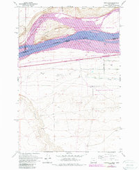
1962 Crow Butte
Benton County, WA
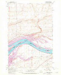
1962 Paterson
Benton County, WA
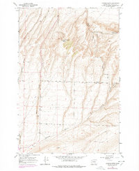
1964 Johnson Butte
Benton County, WA
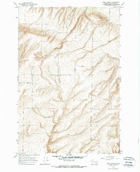
1964 Nine Canyon
Benton County, WA
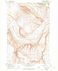
1965 Badger Mtn
Benton County, WA
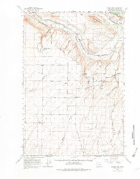
1965 Badger Mtn
Benton County, WA
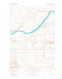
1965 Coyote Rapids
Benton County, WA
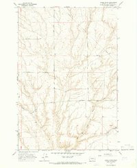
1965 Lenzie Ranch
Benton County, WA
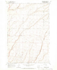
1965 Prior Ranch
Benton County, WA
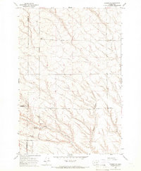
1965 Prosser SE
Benton County, WA
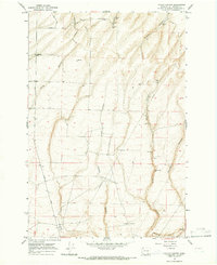
1965 Taylor Canyon
Benton County, WA
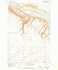
1965 Weber Canyon
Benton County, WA
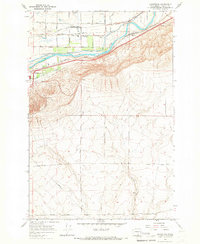
1965 Whitstran
Benton County, WA
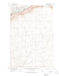
1965 Whitstran
Benton County, WA
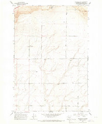
1965 Whitstran NE
Benton County, WA
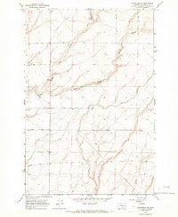
1965 Whitstran SE
Benton County, WA
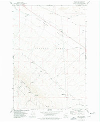
1974 Iowa Flats
Benton County, WA
1974 Maiden Spring
Benton County, WA
1974 Snively Basin
Benton County, WA
1977 Corral Canyon
Benton County, WA
1977 Horn Rapids Dam
Benton County, WA
1977 Snipes Creek
Benton County, WA
1978 Wooden Island
Benton County, WA
1979 Sagebrush Ridge
Benton County, WA
1986 Gable Butte
Benton County, WA
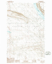
1986 Hanford
Benton County, WA

1986 Riverland
Benton County, WA
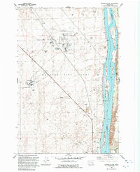
1992 Wooden Island
Benton County, WA
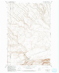
1993 Canoe Ridge
Benton County, WA
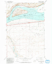
1993 Crow Butte
Benton County, WA
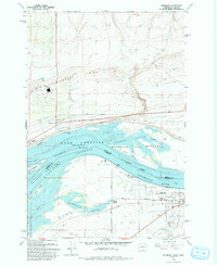
1993 Paterson
Benton County, WA
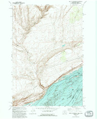
1993 West of Paterson
Benton County, WA