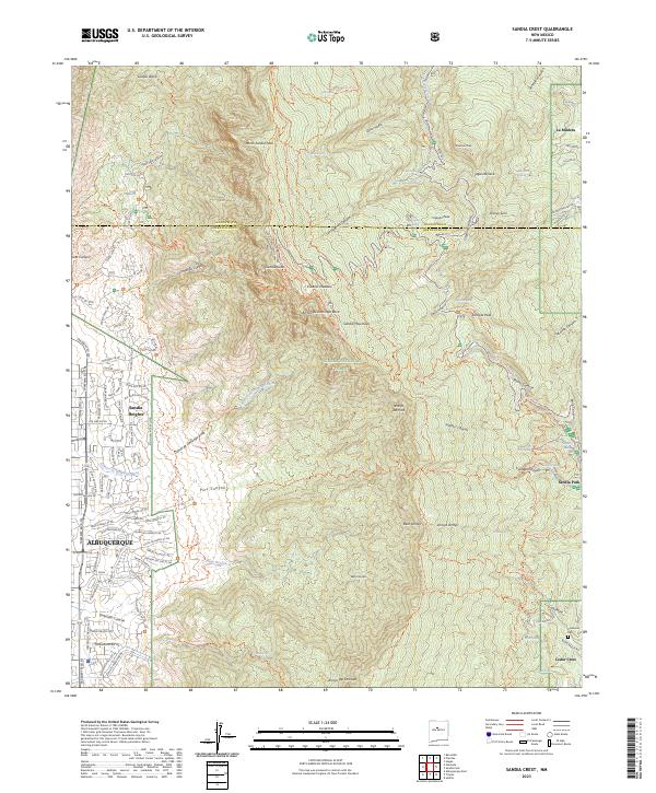
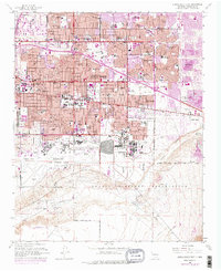
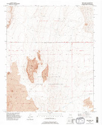
2023 Map of Sandia Crest
USGS Topo · Published 2023About this map
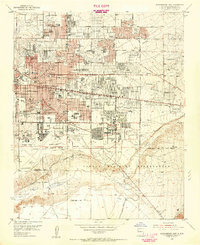
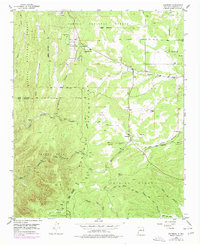
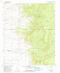
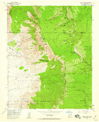
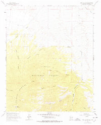
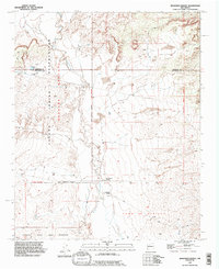
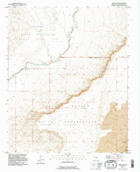
Sandia Crest and the surrounding peaks of the Sandia Mountains dominate this 2023 landscape, marking the dramatic transition from the high-altitude wilderness of the Cibola National Forest to the expanding residential grids of Albuquerque. The eastern slopes show a different character of settlement, where the high-mountain roads of La Madera and Sandia Park wind through canyons such as Tejano Canyon and Cienega Canyon. At the southeastern edge, the Cañoncito Cem serves as a local landmark near the old mountain passes.
Find a feature on this map
118 named features on this map. Tap any name to fly to it.
Don’t see what you’re looking for? This feature index may not catch every label — zoom into the map to look around manually.
Map Details
Editions of this 2023 Sandia Crest Map
This is the sole edition of this map. No revisions or reprints were ever made.
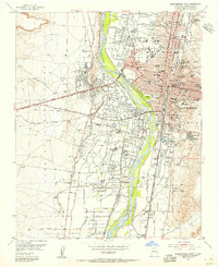
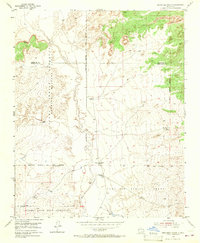
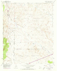
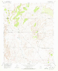
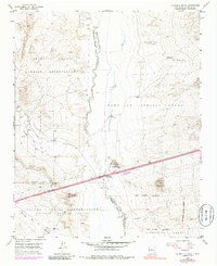
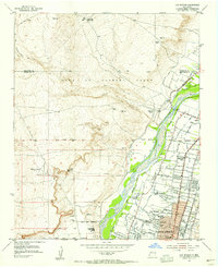
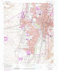
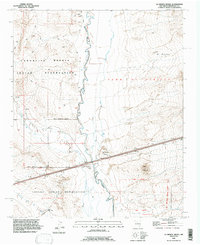
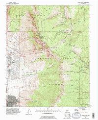
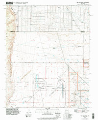
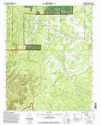
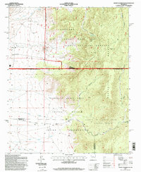
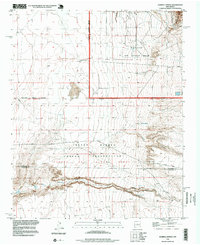
Historical Maps of Tierra Monte Subdivision Through Time
61 maps found

1934 Alameda
Bernalillo County, NM

1934 East Albuquerque
Bernalillo County, NM

1934 Griegos
Bernalillo County, NM

1934 West Albuquerque
Bernalillo County, NM
1952 Dalies NW
Bernalillo County, NM
1952 Hubbell Spring
Bernalillo County, NM
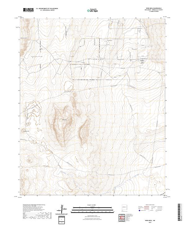
1952 Wind Mesa
Bernalillo County, NM

1954 Alameda
Bernalillo County, NM
1954 Albuquerque East
Bernalillo County, NM
1954 Albuquerque West
Bernalillo County, NM
1954 Benavidez Ranch
Bernalillo County, NM
1954 Canoncito School
Bernalillo County, NM
1954 Escabosa
Bernalillo County, NM
1954 Herrera
Bernalillo County, NM
1954 La Mesita Negra
Bernalillo County, NM

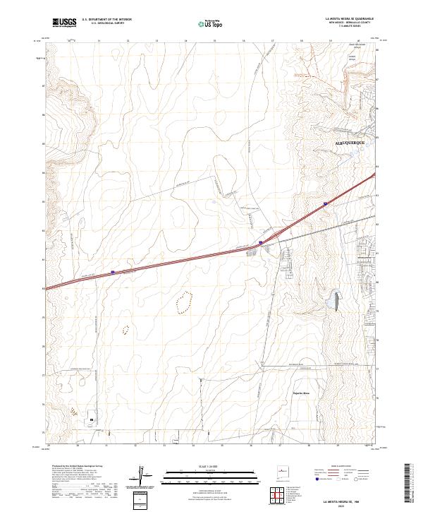
1954 La Mesita Negra SE
Bernalillo County, NM
1954 Los Griegos
Bernalillo County, NM
1954 Mount Washington
Bernalillo County, NM
1954 Sandia Crest
Bernalillo County, NM
1954 Volcano Ranch
Bernalillo County, NM
1960 Alameda
Bernalillo County, NM
1960 Albuquerque East
Bernalillo County, NM
1960 Albuquerque West
Bernalillo County, NM
1960 Los Griegos
Bernalillo County, NM
1961 Sandia Crest
Bernalillo County, NM
1964 Mount Washington
Bernalillo County, NM
1990 Alameda
Bernalillo County, NM
1990 Albuquerque East
Bernalillo County, NM
1990 Albuquerque West
Bernalillo County, NM
1990 Benavidez Ranch
Bernalillo County, NM
1990 La Mesita Negra
Bernalillo County, NM

1990 La Mesita Negra SE
Bernalillo County, NM

1990 Los Griegos
Bernalillo County, NM
1990 Sandia Crest
Bernalillo County, NM
1990 The Volcanoes
Bernalillo County, NM
1991 Dalies NW
Bernalillo County, NM
1991 Escabosa
Bernalillo County, NM
1991 Hubbell Spring
Bernalillo County, NM
1991 Mount Washington
Bernalillo County, NM
1991 Wind Mesa
Bernalillo County, NM
1995 Escabosa
Bernalillo County, NM
1995 Mount Washington
Bernalillo County, NM
1996 Hubbell Spring
Bernalillo County, NM
2006 Alameda
Bernalillo County, NM
2006 Sandia Crest
Bernalillo County, NM
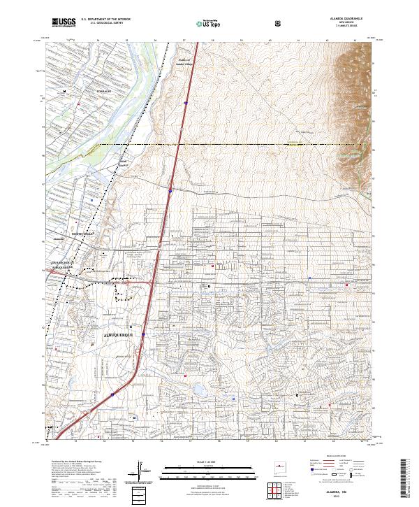
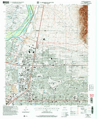
2023 Alameda
Bernalillo County, NM
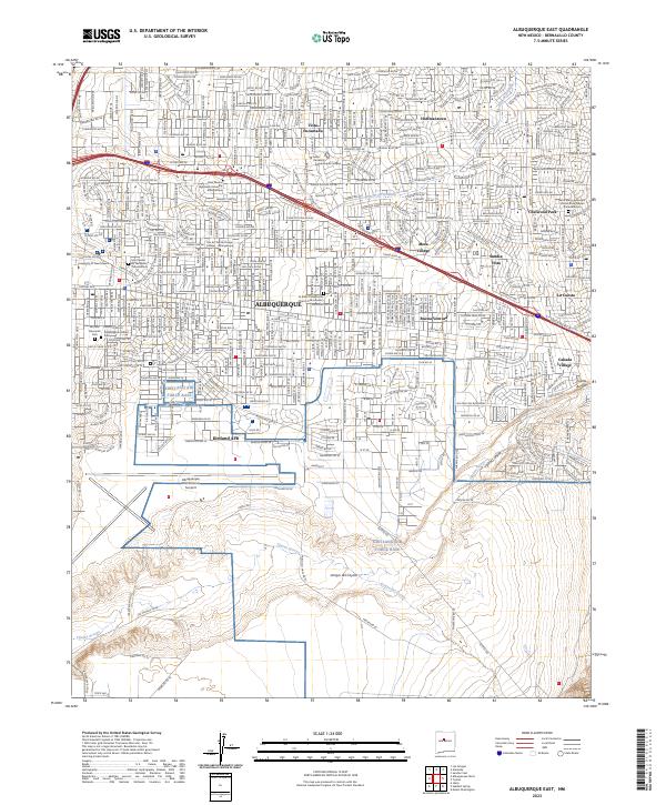
2023 Albuquerque East
Bernalillo County, NM
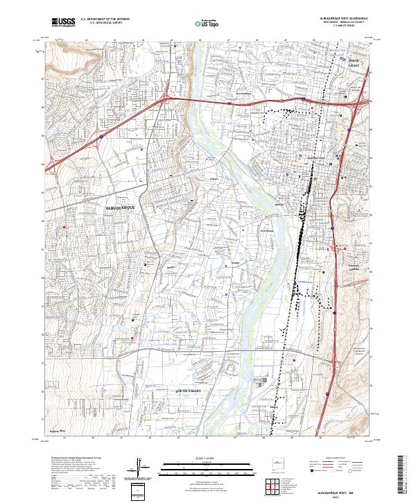
2023 Albuquerque West
Bernalillo County, NM
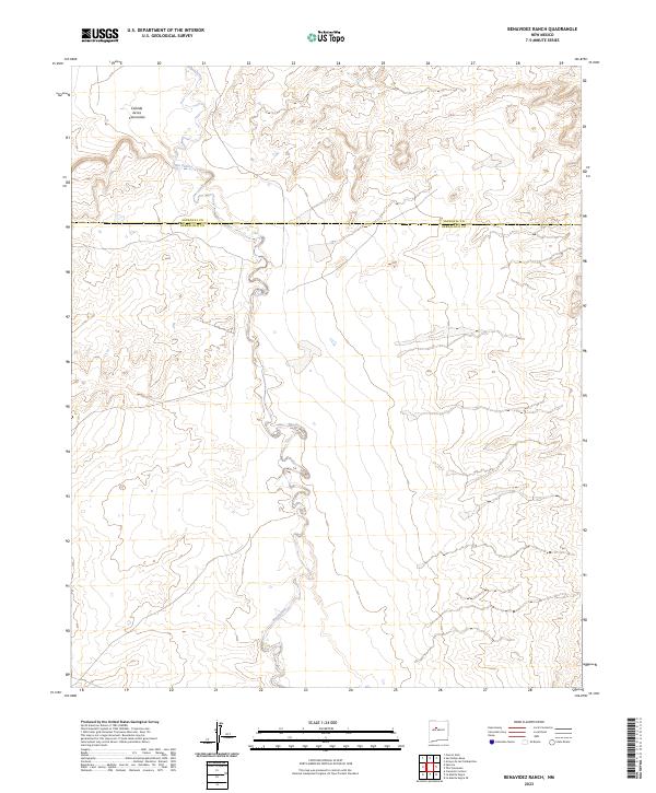
2023 Benavidez Ranch
Bernalillo County, NM
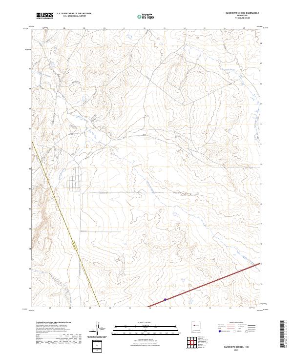
2023 Canoncito School
Bernalillo County, NM
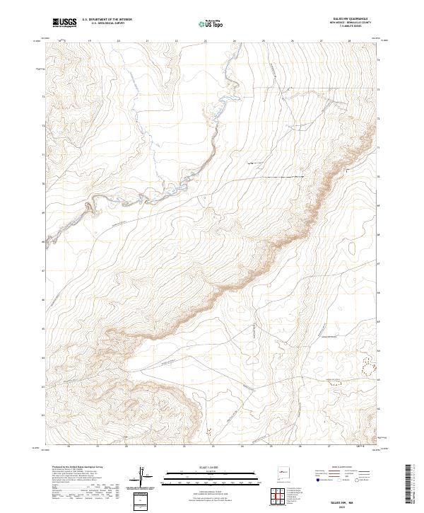
2023 Dalies NW
Bernalillo County, NM
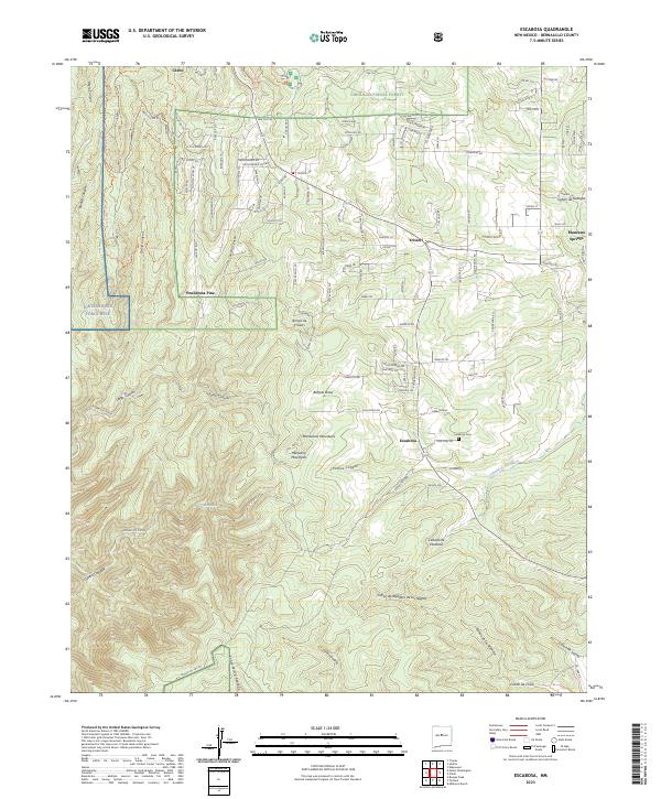
2023 Escabosa
Bernalillo County, NM
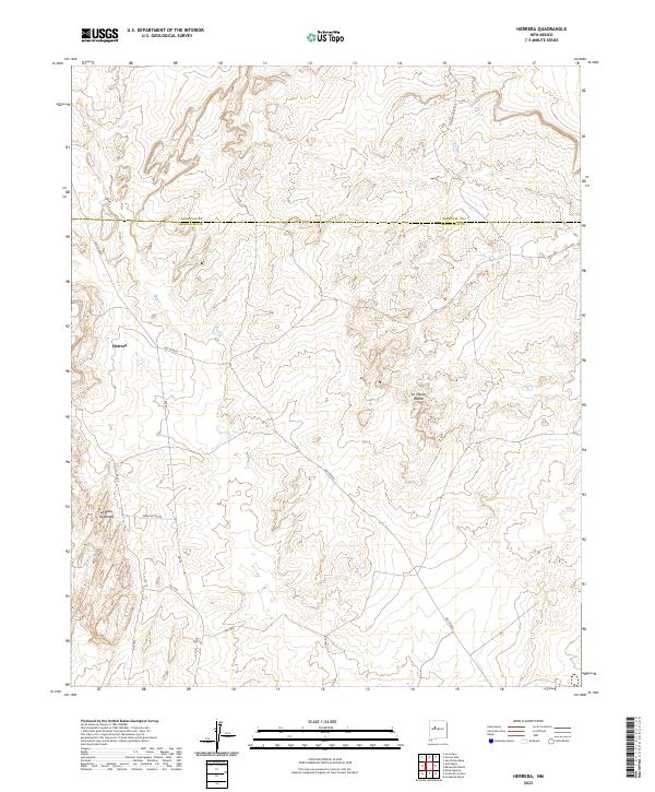
2023 Herrera
Bernalillo County, NM
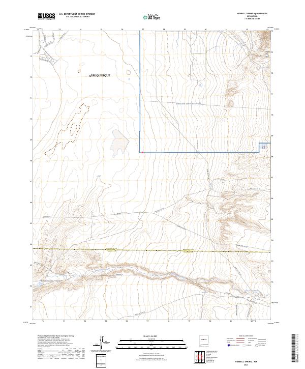
2023 Hubbell Spring
Bernalillo County, NM
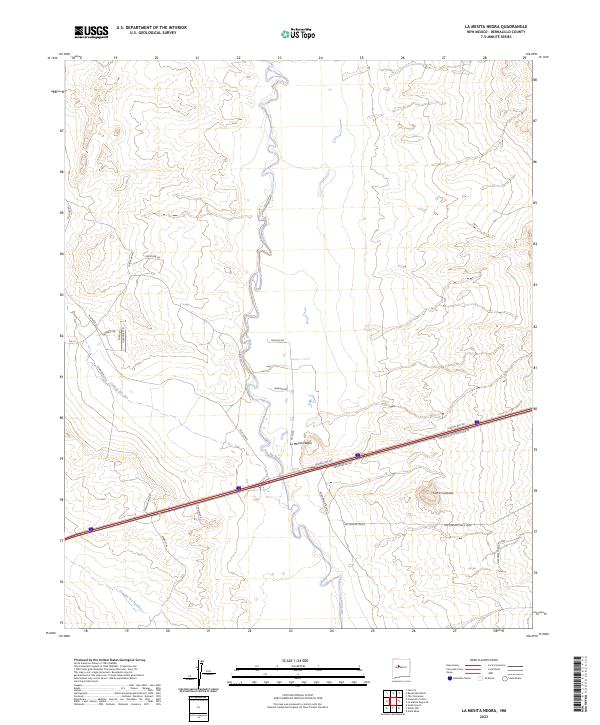
2023 La Mesita Negra
Bernalillo County, NM
2023 La Mesita Negra SE
Bernalillo County, NM
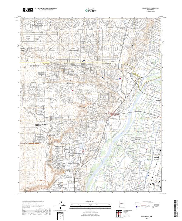
2023 Los Griegos
Bernalillo County, NM
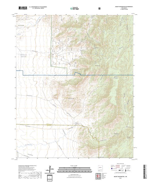
2023 Mount Washington
Bernalillo County, NM
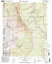
2023 Sandia Crest
Bernalillo County, NM
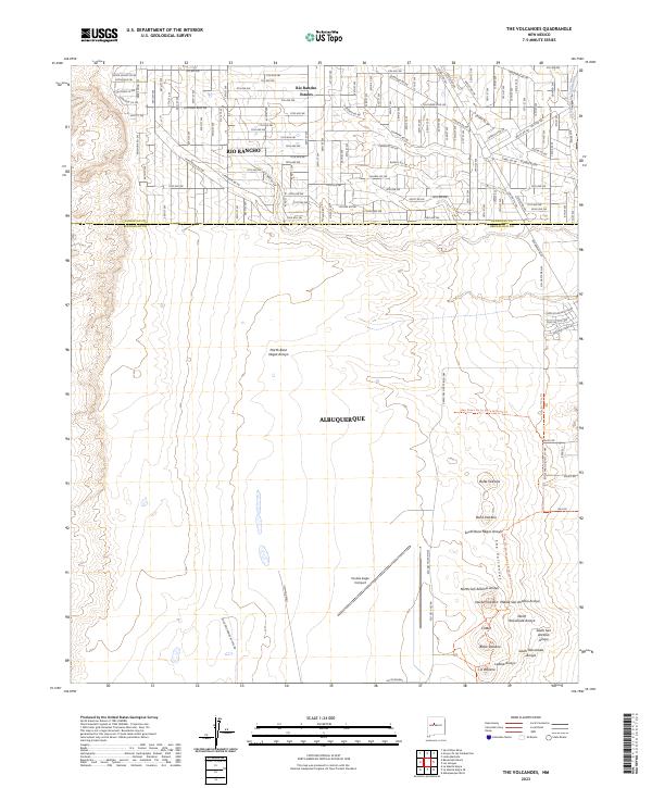
2023 The Volcanoes
Bernalillo County, NM
2023 Wind Mesa
Bernalillo County, NM
Featured Locations
- Cedar Crest, NM
- Albuquerque, NM
- Tierra Monte Subdivision, NM
- Evergreen Hills Subdivision, NM
- Glenwood Hills, Albuquerque