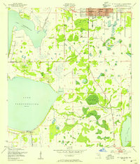
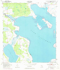
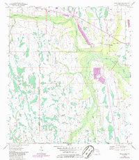
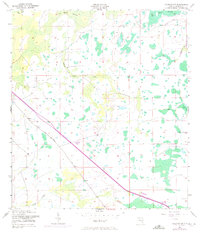
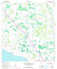
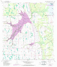
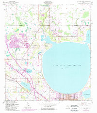
1953 Map of St Cloud South
USGS Topo · Published 1954This historical map portrays the area of St Cloud South in 1953, primarily covering Osceola County. Featuring a scale of 1:24000, this map provides a highly detailed snapshot of the terrain, roads, buildings, counties, and historical landmarks in the St Cloud South region at the time. Published in 1954, it is one of 5 known editions of this map due to revisions or reprints.
Find a feature on this map
25 named features on this map. Tap any name to fly to it.
Don’t see what you’re looking for? This feature index may not catch every label — zoom into the map to look around manually.
Map Details
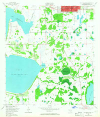
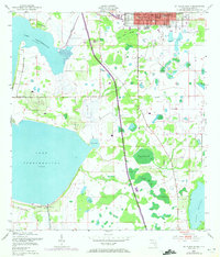
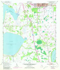
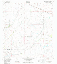
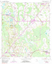
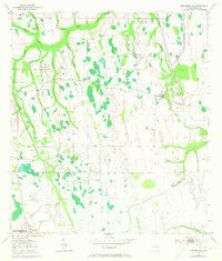
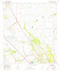
Editions of this 1953 St Cloud South Map
5 editions found
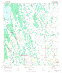
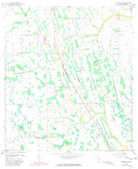
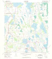
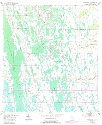
Historical Maps of Saint Cloud Through Time
23 maps found
1952 Lake Weohyakapka NE
Osceola County, FL
1953 Ashton
Osceola County, FL
1953 Cypress Lake
Osceola County, FL
1953 Deer Park NW
Osceola County, FL
1953 Deer Park
Osceola County, FL

1953 Fort Drum NW
Osceola County, FL
1953 Fort Kissimmee NE
Osceola County, FL
1953 Holopaw
Osceola County, FL
1953 Holopaw SE
Osceola County, FL
1953 Holopaw SW
Osceola County, FL
1953 Intercession City
Osceola County, FL
1953 Kenansville
Osceola County, FL
1953 Kenansville SW
Osceola County, FL
1953 Lake Marian NE
Osceola County, FL
1953 Lake Marian NW
Osceola County, FL
1953 Lake Marian SE
Osceola County, FL
1953 Lake Marian SW
Osceola County, FL
1953 Lake Poinsett SW
Osceola County, FL
1953 Lake Tohopekaliga
Osceola County, FL
1953 Narcoossee
Osceola County, FL
1953 Narcoossee SE
Osceola County, FL
1953 St Cloud North
Osceola County, FL
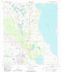
1953 St Cloud South
Osceola County, FL