2024 Map of Tenants Harbor OE S
USGS Topo · Published 2024About this map
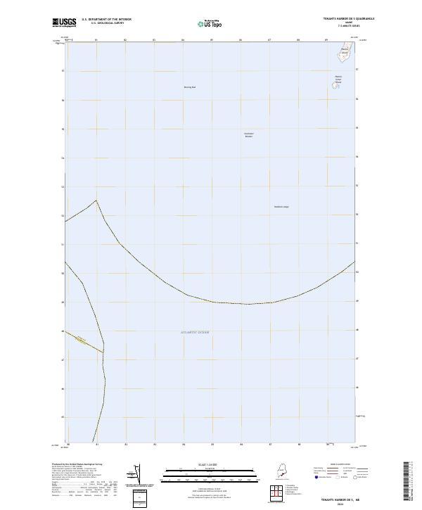
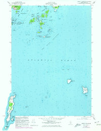
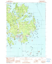
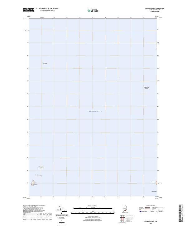
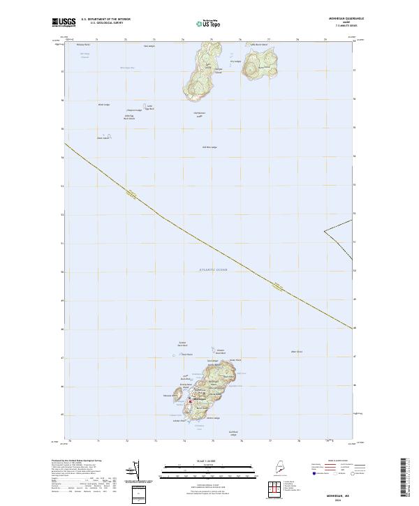
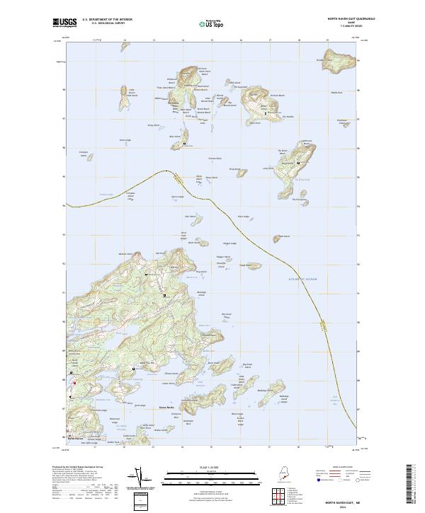
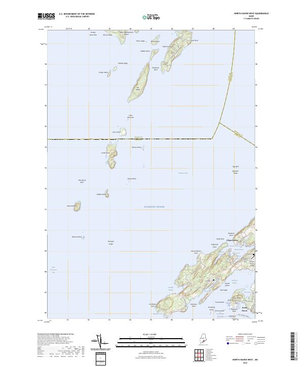
Metinic Island sits in the upper right corner of this maritime chart, representing the primary landmass in an area dominated by the Atlantic Ocean. The survey illustrates the seafaring hazards of the Maine coast, documenting submerged and semi-exposed navigational points such as Roaring Bull, Southeast Breaker, and Haddock Ledge. A tiny outlier, Metinic Green Island, appears just off the southern tip of the main island. These features define the approach to the Midcoast region where the jurisdictional boundary between Knox and Lincoln counties extends through the open water. The map's focus is almost entirely on the offshore environment, highlighting the isolated nature of these rocky outcroppings and the maritime territory that surrounds them.
Find a feature on this map
7 named features on this map. Tap any name to fly to it.
Don’t see what you’re looking for? This feature index may not catch every label — zoom into the map to look around manually.
Map Details
Editions of this 2024 Tenants Harbor OE S Map
This is the sole edition of this map. No revisions or reprints were ever made.
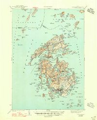
Historical Maps of Monhegan Island Plantation Through Time
50 maps found

1904 Tenants Harbor
Knox County, ME
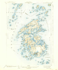
1904 Vinalhaven
Knox County, ME

1906 Matinicus
Knox County, ME
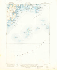
1906 Tenants Harbor
Knox County, ME

1941 Vinalhaven
Knox County, ME
1944 Vinalhaven
Knox County, ME
1955 Camden
Knox County, ME
1955 Friendship
Knox County, ME
1955 Hewett Island
Knox County, ME

1955 Monhegan
Knox County, ME

1955 Tenants Harbor
Knox County, ME
1955 Thomaston
Knox County, ME

1955 West Rockport
Knox County, ME
1961 Razorville
Knox County, ME
1961 Washington
Knox County, ME
1965 Union
Knox County, ME

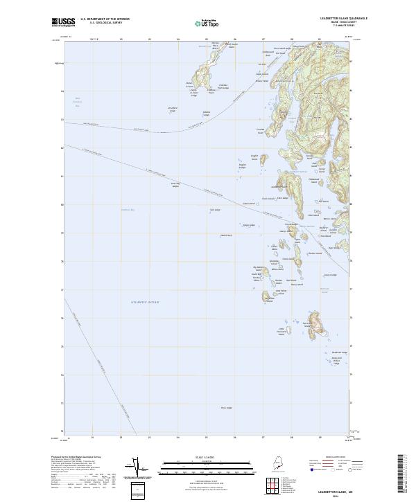
1982 Leadbetter Island
Knox County, ME

1982 North Haven East
Knox County, ME
1982 Vinalhaven
Knox County, ME

1983 Isle Au Haut East
Knox County, ME

1983 Isle Au Haut West
Knox County, ME

1983 North Haven West
Knox County, ME

1985 Matinicus
Knox County, ME

1994 Matinicus
Knox County, ME

2000 Camden
Knox County, ME

2000 Vinalhaven
Knox County, ME
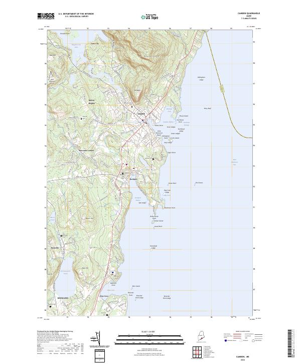
2024 Camden
Knox County, ME

2024 Friendship
Knox County, ME

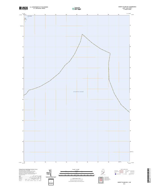
2024 Hewett Island
Knox County, ME
2024 Hewett Island OE S
Knox County, ME
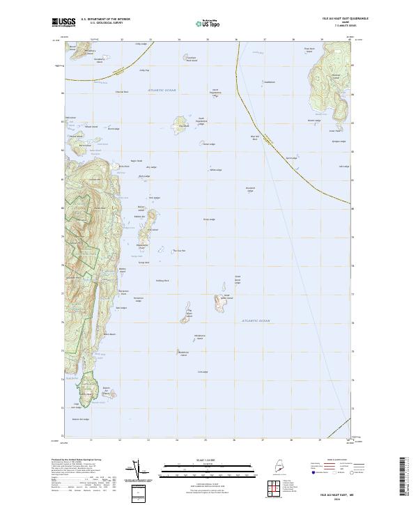
2024 Isle Au Haut East
Knox County, ME
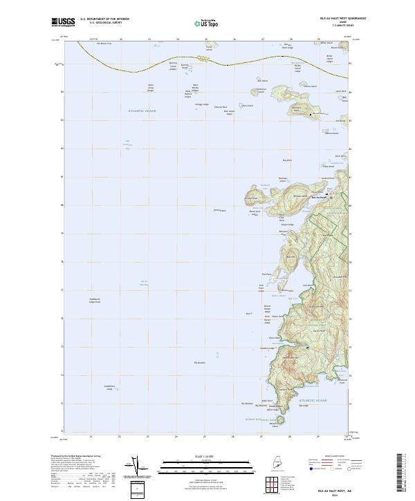
2024 Isle Au Haut West
Knox County, ME
2024 Leadbetter Island
Knox County, ME
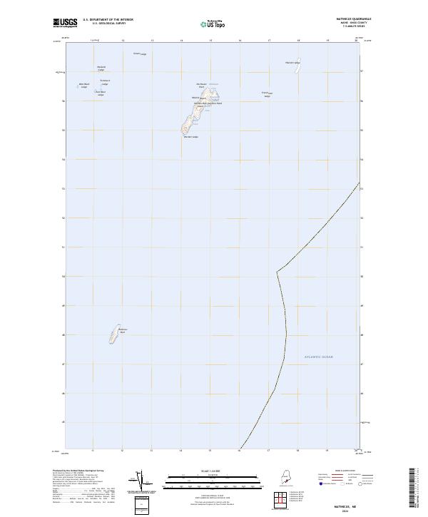
2024 Matinicus
Knox County, ME
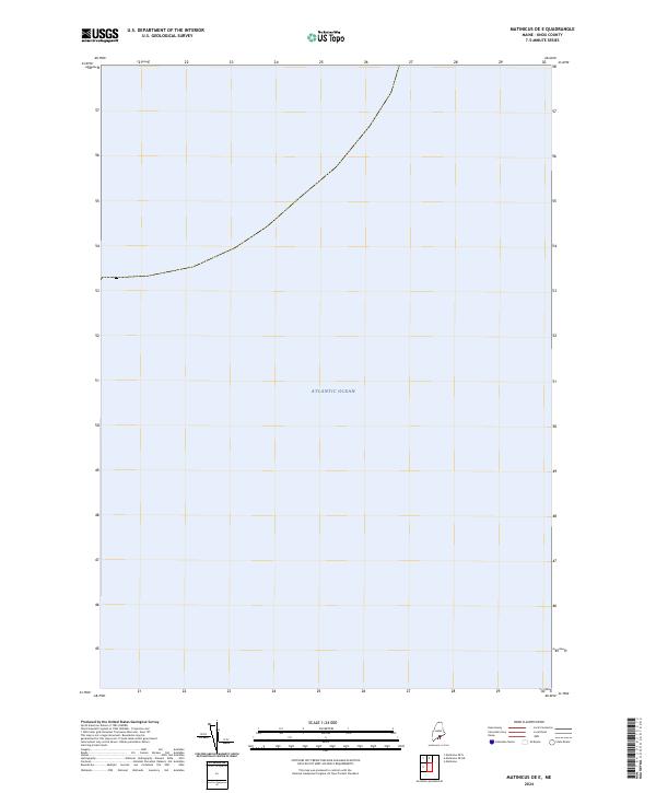
2024 Matinicus OE E
Knox County, ME
2024 Matinicus OE NE
Knox County, ME
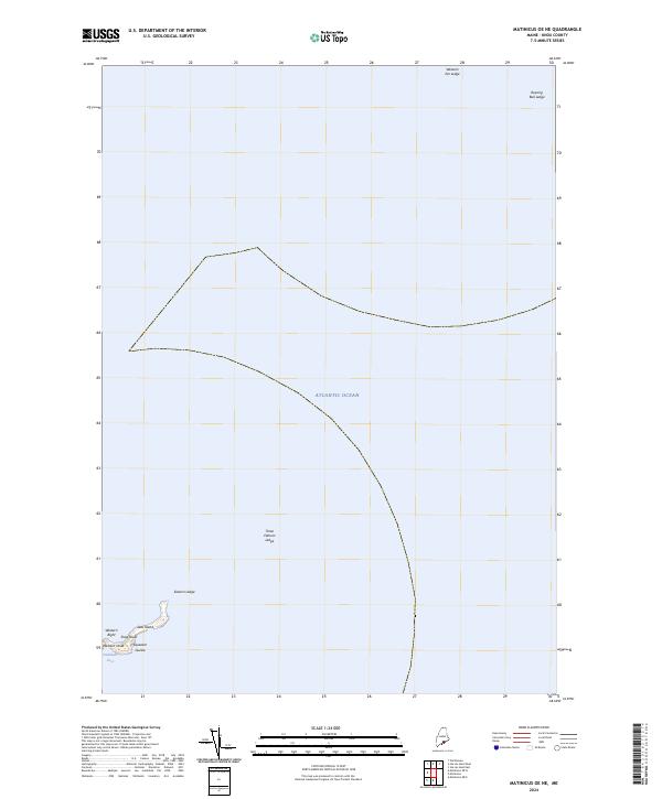
2024 Matinicus OE N
Knox County, ME

2024 Matinicus OE NW
Knox County, ME
2024 Matinicus OE W
Knox County, ME
2024 Monhegan
Knox County, ME
2024 North Haven East
Knox County, ME
2024 North Haven West
Knox County, ME
2024 Razorville
Knox County, ME

2024 Tenants Harbor
Knox County, ME
2024 Tenants Harbor OE S
Knox County, ME

2024 Thomaston
Knox County, ME
2024 Union
Knox County, ME
2024 Vinalhaven
Knox County, ME
2024 Washington
Knox County, ME
2024 West Rockport
Knox County, ME