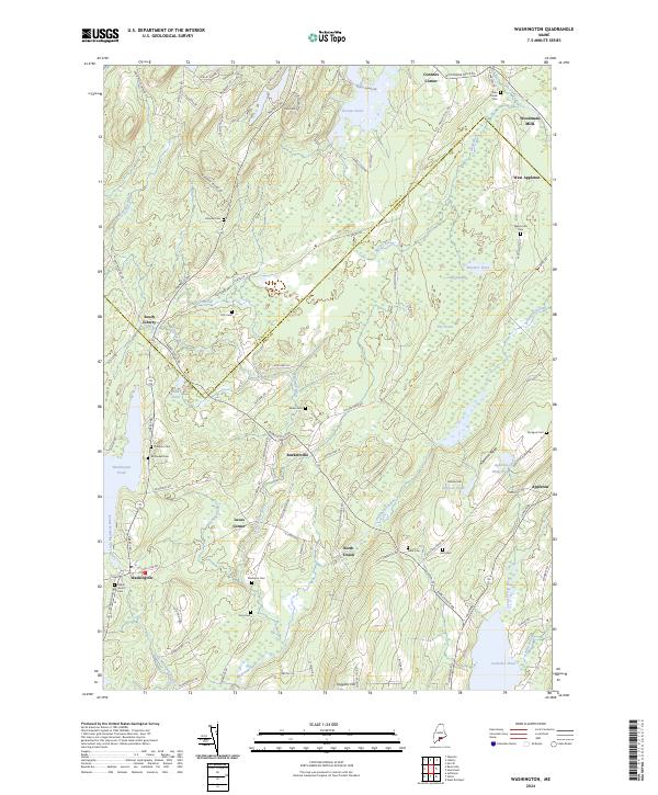
2024 Map of Washington
USGS Topo · Published 2024About this map
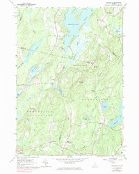
The boundary between Waldo and Knox counties bisects this Maine interior, where the Medomak River and the Saint George River carve separate paths through the hilly terrain. Small hamlets like Burkettville, South Liberty, and Washington anchor the local road network, while the landscape is dotted with numerous ancestral burial grounds such as McDowell Cem, Miller Cem, and Skidmore Cem. The presence of these small cemeteries, often associated with specific families or early church congregations, highlights the deeply rooted settlement patterns of the region. Notable geographic landmarks include Appleton Ridge, which overlooks Sennebec Pond to the south. Further north, the flow of the Dead River and the waters of Stevens Pond and Newbert Pond define the drainage of the area near Woodmans Mills, reflecting a classic New England village and waterpower geography that has persisted into the modern era.
Find a feature on this map
101 named features on this map. Tap any name to fly to it.
Don’t see what you’re looking for? This feature index may not catch every label — zoom into the map to look around manually.
Map Details
Editions of this 2024 Washington Map
This is the sole edition of this map. No revisions or reprints were ever made.
Historical Maps of Union Through Time
50 maps found

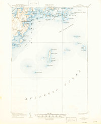
1904 Tenants Harbor
Knox County, ME
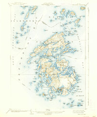
1904 Vinalhaven
Knox County, ME

1906 Matinicus
Knox County, ME
1906 Tenants Harbor
Knox County, ME

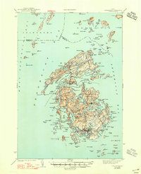
1941 Vinalhaven
Knox County, ME
1944 Vinalhaven
Knox County, ME
1955 Camden
Knox County, ME
1955 Friendship
Knox County, ME
1955 Hewett Island
Knox County, ME

1955 Monhegan
Knox County, ME

1955 Tenants Harbor
Knox County, ME
1955 Thomaston
Knox County, ME

1955 West Rockport
Knox County, ME
1961 Razorville
Knox County, ME
1961 Washington
Knox County, ME
1965 Union
Knox County, ME

1982 Leadbetter Island
Knox County, ME

1982 North Haven East
Knox County, ME
1982 Vinalhaven
Knox County, ME

1983 Isle Au Haut East
Knox County, ME

1983 Isle Au Haut West
Knox County, ME

1983 North Haven West
Knox County, ME

1985 Matinicus
Knox County, ME

1994 Matinicus
Knox County, ME

2000 Camden
Knox County, ME

2000 Vinalhaven
Knox County, ME
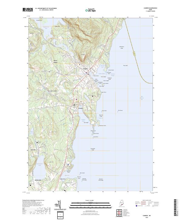
2024 Camden
Knox County, ME

2024 Friendship
Knox County, ME

2024 Hewett Island
Knox County, ME
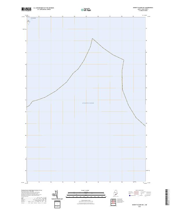
2024 Hewett Island OE S
Knox County, ME
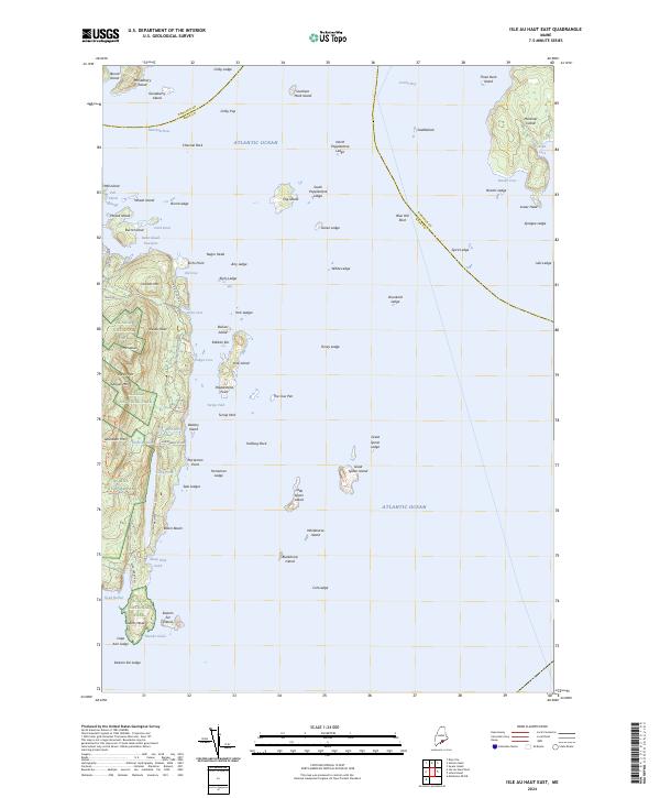
2024 Isle Au Haut East
Knox County, ME
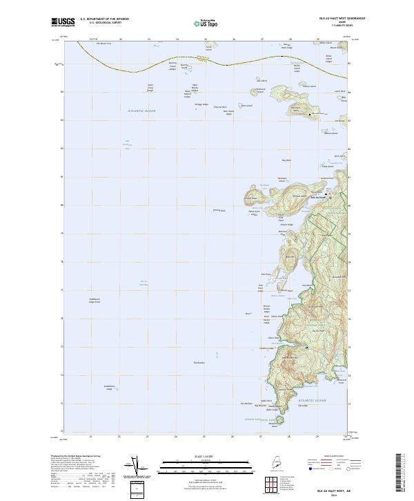
2024 Isle Au Haut West
Knox County, ME
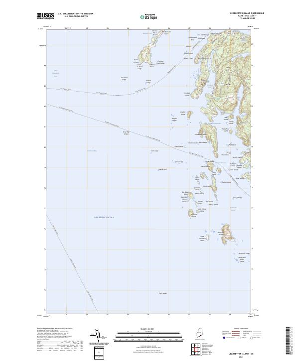
2024 Leadbetter Island
Knox County, ME
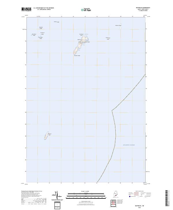
2024 Matinicus
Knox County, ME
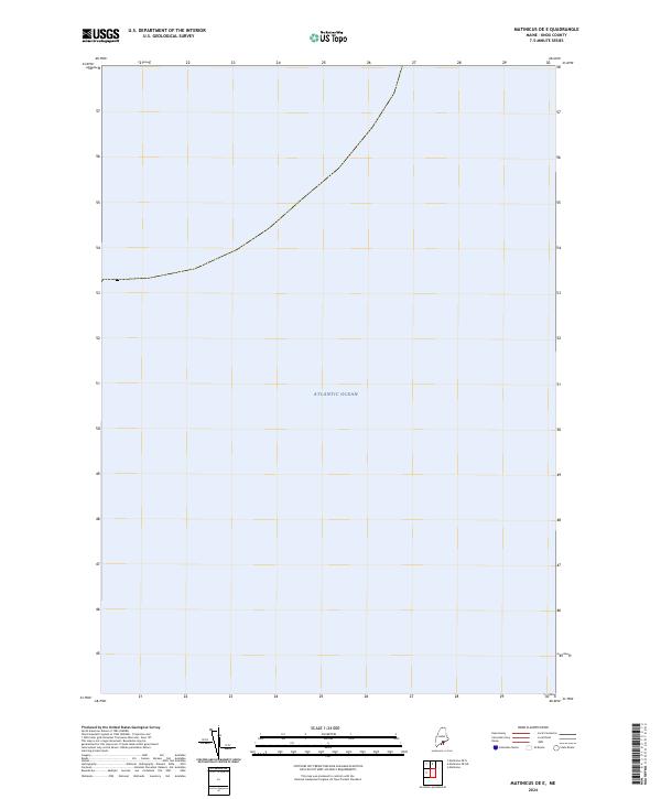
2024 Matinicus OE E
Knox County, ME
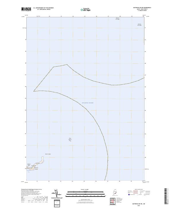
2024 Matinicus OE NE
Knox County, ME
2024 Matinicus OE N
Knox County, ME

2024 Matinicus OE NW
Knox County, ME
2024 Matinicus OE W
Knox County, ME
2024 Monhegan
Knox County, ME
2024 North Haven East
Knox County, ME
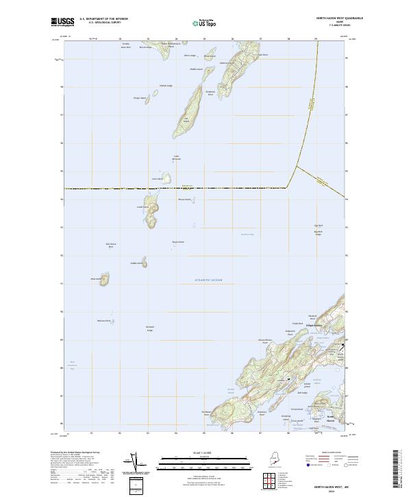
2024 North Haven West
Knox County, ME
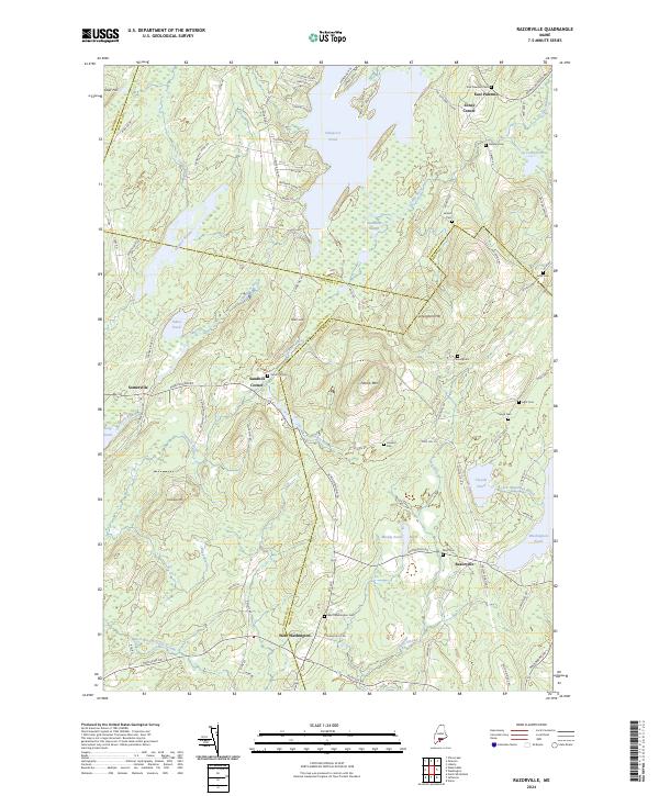
2024 Razorville
Knox County, ME

2024 Tenants Harbor
Knox County, ME
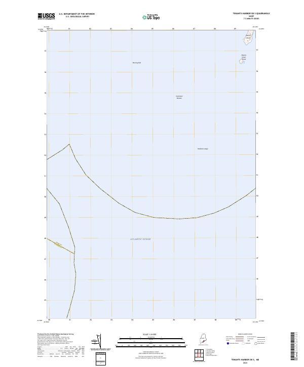
2024 Tenants Harbor OE S
Knox County, ME

2024 Thomaston
Knox County, ME
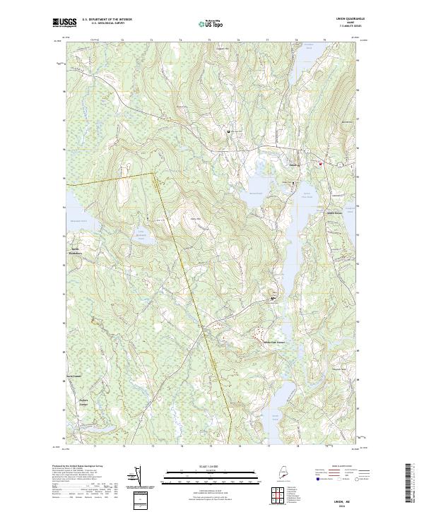
2024 Union
Knox County, ME
2024 Vinalhaven
Knox County, ME
2024 Washington
Knox County, ME
2024 West Rockport
Knox County, ME