
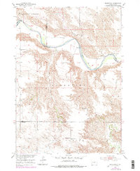
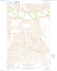
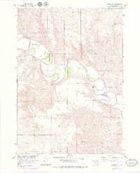
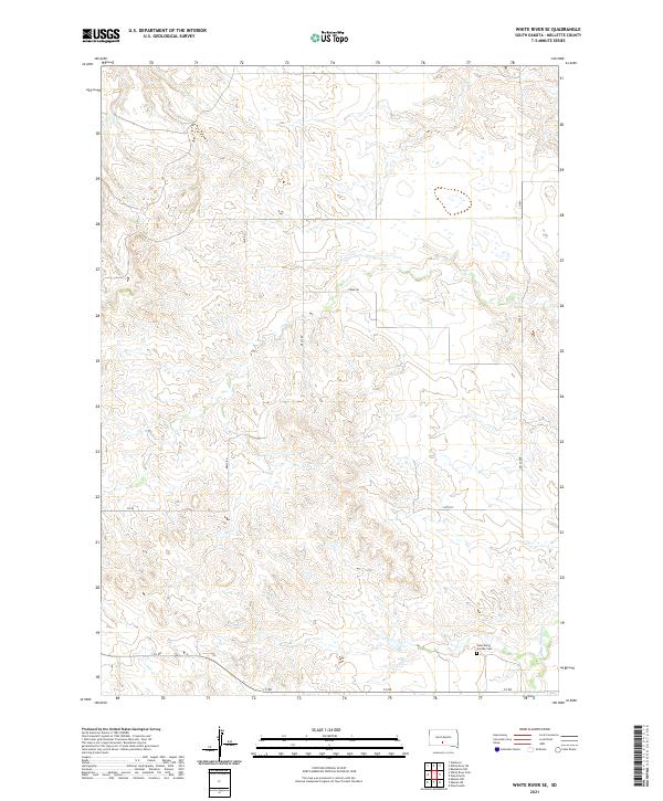
2021 Map of White River East
USGS Topo · Published 2021This historical map portrays the area of White River East in 2021, primarily covering Mellette County. Featuring a scale of 1:24000, this map provides a highly detailed snapshot of the terrain, roads, buildings, counties, and historical landmarks in the White River East region at the time. Published in 2021, it is the sole known edition of this map.
Find a feature on this map
18 named features on this map. Tap any name to fly to it.
Don’t see what you’re looking for? This feature index may not catch every label — zoom into the map to look around manually.
Map Details
Editions of this 2021 White River East Map
This is the sole edition of this map. No revisions or reprints were ever made.
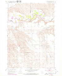
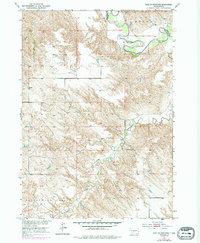
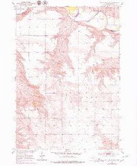
Historical Maps of Horse Creek Through Time
48 maps found
1951 Badnation
Mellette County, SD
1951 Badnation NW
Mellette County, SD

1951 Cedar Butte NE
Mellette County, SD
1951 Cedar Butte NW
Mellette County, SD
1951 Head Of Butch Creek
Mellette County, SD
1951 Okaton SW
Mellette County, SD
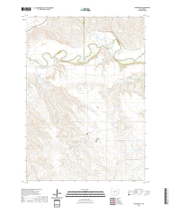
1951 Stamford SE
Mellette County, SD
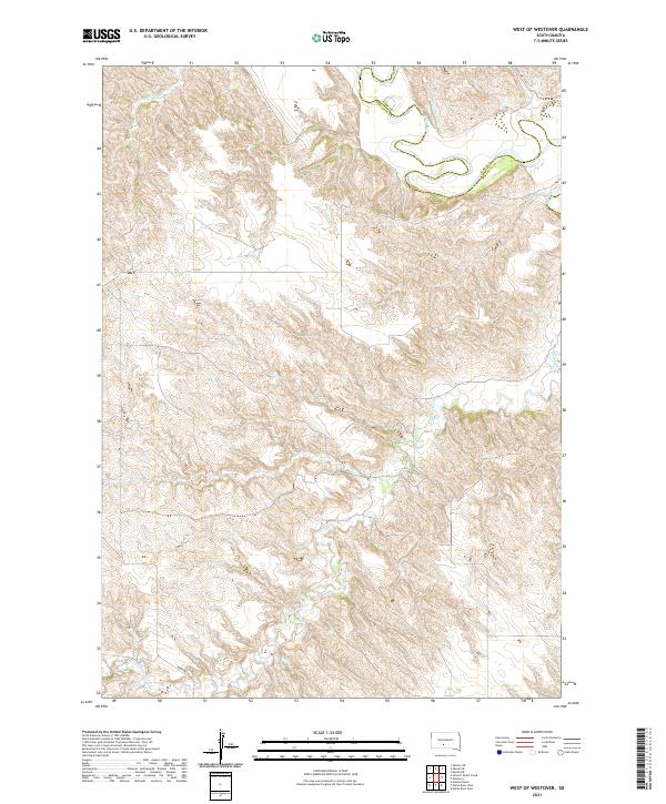
1951 West Of Westover
Mellette County, SD

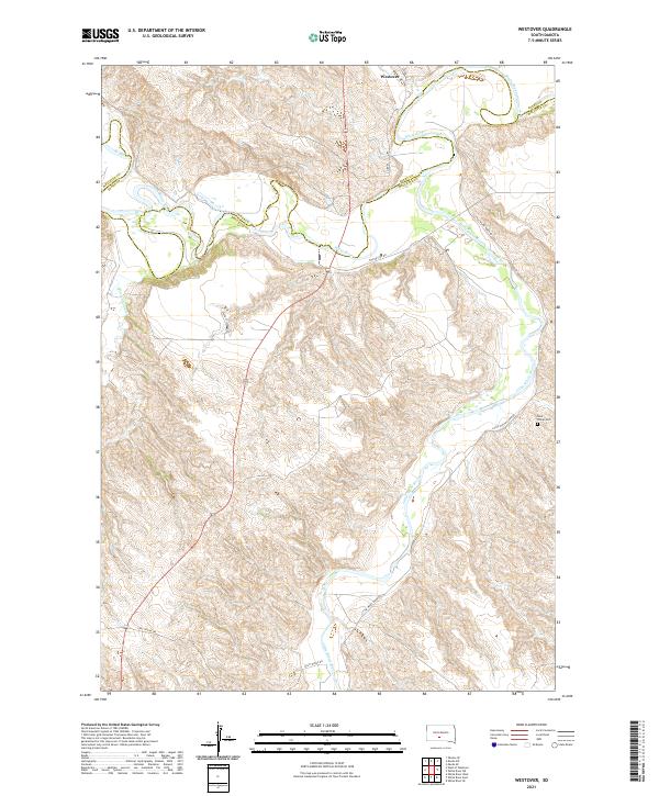
1951 Westover
Mellette County, SD
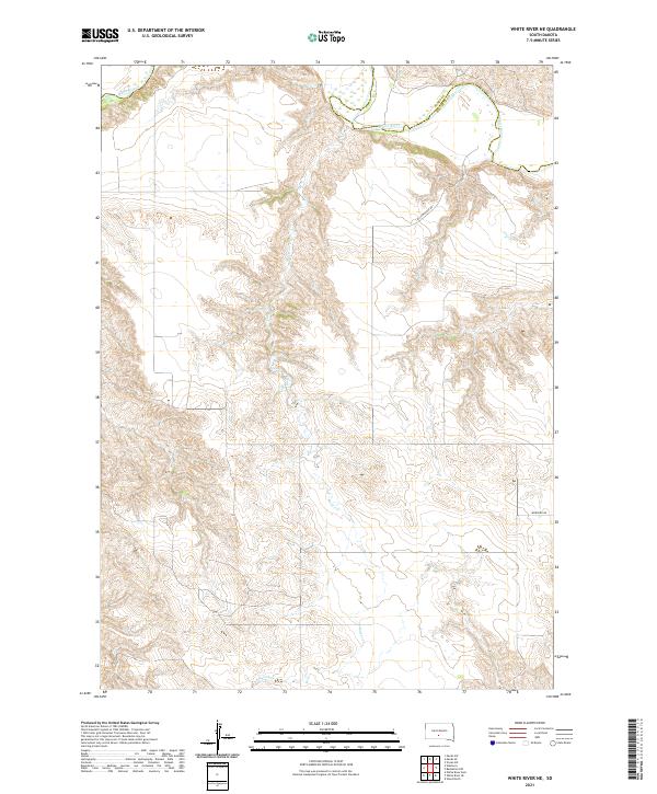
1951 White River NE
Mellette County, SD

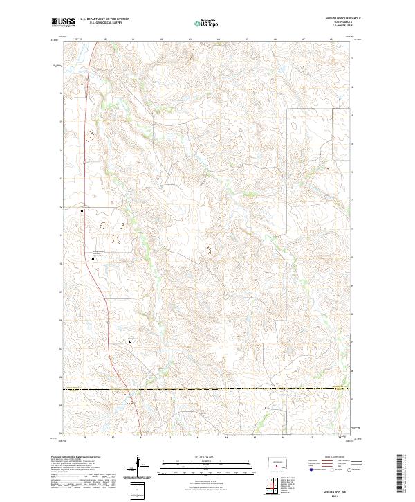
1969 Mission NW
Mellette County, SD

1969 Parmelee NE
Mellette County, SD

1969 Soldier Creek NE
Mellette County, SD

1969 Soldier Creek NW
Mellette County, SD

1981 Cedar Butte
Mellette County, SD

1982 Badnation SE
Mellette County, SD

1982 Mission NE
Mellette County, SD

1982 Mosher
Mellette County, SD
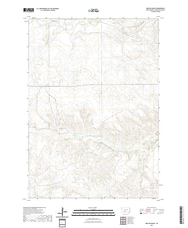
1982 Nielson Ranch
Mellette County, SD

1982 White River East
Mellette County, SD

1982 White River SE
Mellette County, SD

1982 White River West
Mellette County, SD

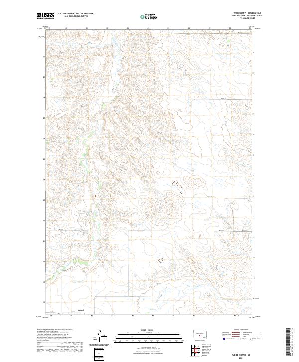
1982 Wood North
Mellette County, SD

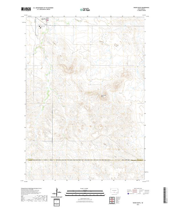
1982 Wood South
Mellette County, SD
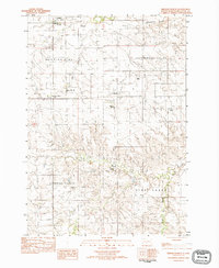
2021 Badnation
Mellette County, SD
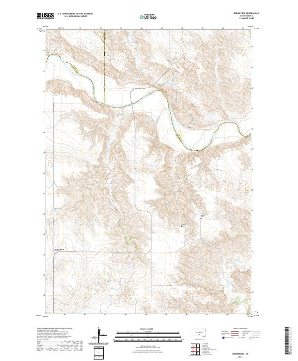
2021 Badnation NW
Mellette County, SD
2021 Badnation SE
Mellette County, SD

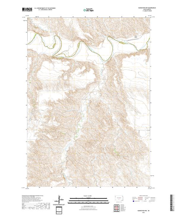
2021 Cedar Butte
Mellette County, SD
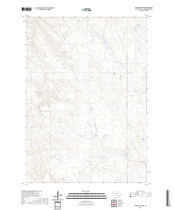
2021 Cedar Butte NE
Mellette County, SD
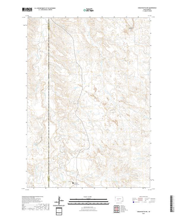
2021 Cedar Butte NW
Mellette County, SD
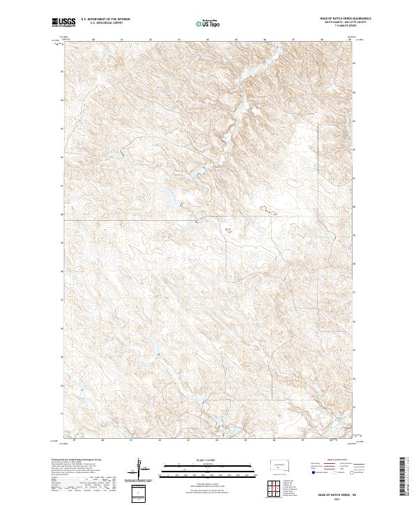
2021 Head of Butch Creek
Mellette County, SD
2021 Mission NE
Mellette County, SD
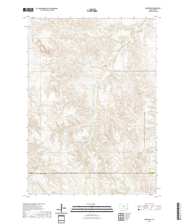
2021 Mission NW
Mellette County, SD

2021 Mosher
Mellette County, SD
2021 Nielson Ranch
Mellette County, SD
2021 Okaton SW
Mellette County, SD

2021 Parmelee NE
Mellette County, SD

2021 Soldier Creek NE
Mellette County, SD

2021 Soldier Creek NW
Mellette County, SD
2021 Stamford SE
Mellette County, SD
2021 West of Westover
Mellette County, SD
2021 Westover
Mellette County, SD
2021 White River East
Mellette County, SD
2021 White River NE
Mellette County, SD
2021 White River SE
Mellette County, SD

2021 White River West
Mellette County, SD
2021 Wood North
Mellette County, SD
2021 Wood South
Mellette County, SD
Featured Locations
- Butte Creek Segment, SD
- Horse Creek Segment, SD
- Swift Bear Segment, SD
- White River, SD
- Horse Creek, Horse Creek Segment