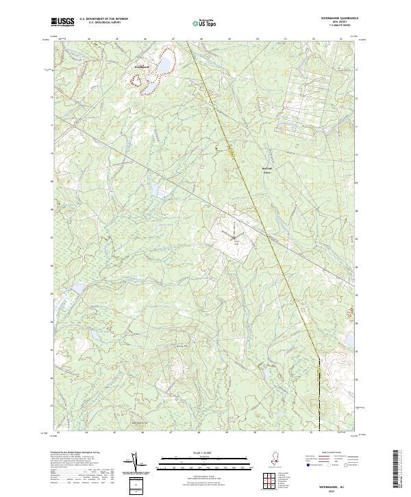
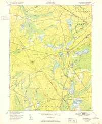
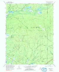
2023 Map of Woodmansie
USGS Topo · Published 2023About this map
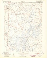
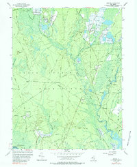
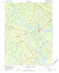
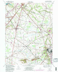
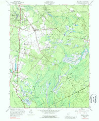
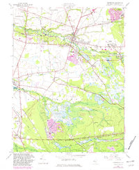
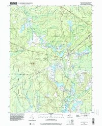
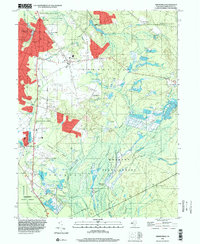
Woodmansie and Red Oak Grove anchor this modern survey of the New Jersey Pine Barrens, a landscape defined by its intricate network of cedar swamps and sandy ridges. The terrain is marked by high points like Bear Swamp Hill and Spring Hill, which overlook an extensive hydrographic system including McDonalds Branch and Webbs Mill Branch. The presence of the Glassworks Path Trl and Clay Mill suggests a history of early local industry tied to the region's natural resources. Aviation and transit are represented by Coyle Field and the diagonal crossing of Rte 72 E, cutting through the dense vegetation surrounding Decou Pond and Goose Pond. The map also clearly delineates the Burlington Co Ocean Co boundary as it traverses this sparsely settled woodland.
Find a feature on this map
65 named features on this map. Tap any name to fly to it.
Don’t see what you’re looking for? This feature index may not catch every label — zoom into the map to look around manually.
Map Details
Editions of this 2023 Woodmansie Map
This is the sole edition of this map. No revisions or reprints were ever made.
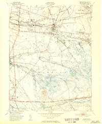
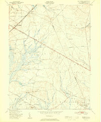
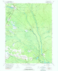
Historical Maps of Ocean County Through Time
51 maps found

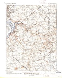
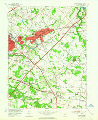
1888 Bordentown
Burlington County, NJ

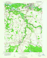
1888 Mount Holly
Burlington County, NJ

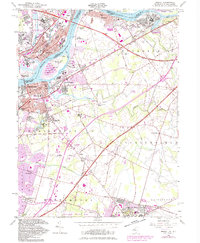
1888 Pemberton
Burlington County, NJ
1893 Bordentown
Burlington County, NJ

1894 Mount Holly
Burlington County, NJ

1894 Pemberton
Burlington County, NJ

1898 Mount Holly
Burlington County, NJ
1898 Pemberton
Burlington County, NJ
1900 Rancocas
Burlington County, NJ
1906 Bordentown
Burlington County, NJ

1919 Mount Holly
Burlington County, NJ

1942 Mount Holly
Burlington County, NJ

1942 Pemberton
Burlington County, NJ

1948 Bordentown
Burlington County, NJ
1948 Columbus
Burlington County, NJ

1949 Pemberton
Burlington County, NJ
1949 Pemberton
Burlington County, NJ
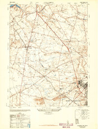
1951 Chatsworth
Burlington County, NJ
1951 Indian Mills
Burlington County, NJ
1951 Pemberton
Burlington County, NJ
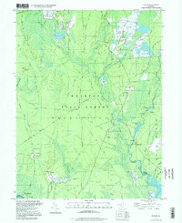
1951 Woodmansie
Burlington County, NJ
1953 Atsion
Burlington County, NJ
1953 Moorestown
Burlington County, NJ
1953 Mount Holly
Burlington County, NJ
1955 Bristol
Burlington County, NJ
1955 Oswego Lake
Burlington County, NJ
1956 Jenkins
Burlington County, NJ
1957 Chatsworth
Burlington County, NJ
1957 Columbus
Burlington County, NJ
1957 Indian Mills
Burlington County, NJ
1957 Pemberton
Burlington County, NJ
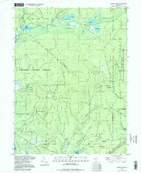
1957 Woodmansie
Burlington County, NJ
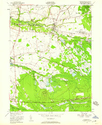
1966 Moorestown
Burlington County, NJ
1967 Mount Holly
Burlington County, NJ
1995 Chatsworth
Burlington County, NJ
1995 Indian Mills
Burlington County, NJ

1995 Moorestown
Burlington County, NJ
1995 Woodmansie
Burlington County, NJ
1997 Atsion
Burlington County, NJ
1997 Jenkins
Burlington County, NJ
1997 Oswego Lake
Burlington County, NJ
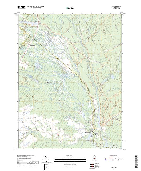
2023 Atsion
Burlington County, NJ
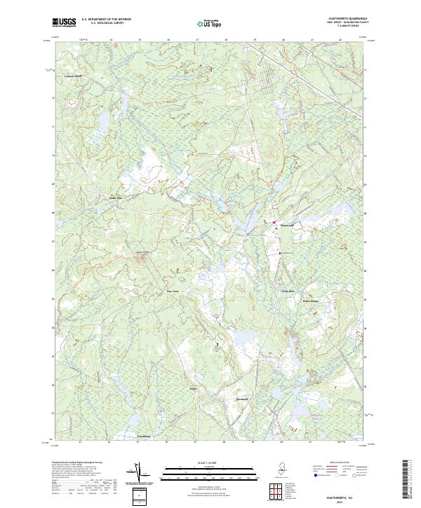
2023 Chatsworth
Burlington County, NJ
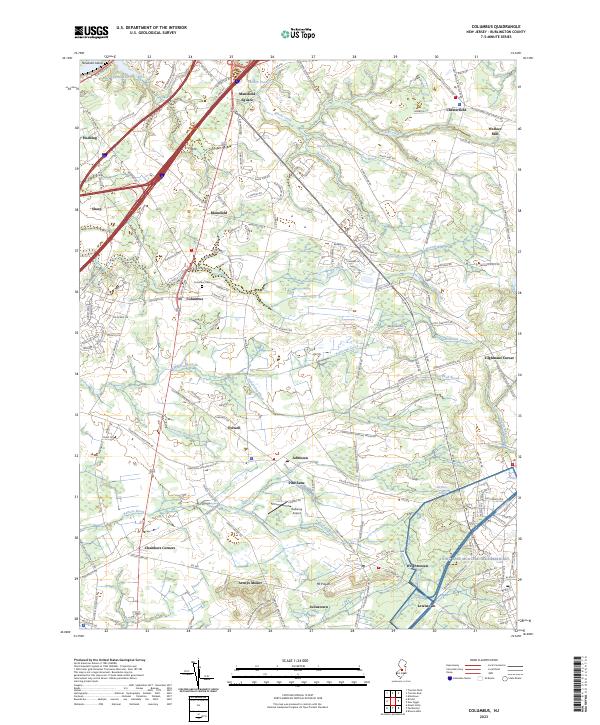
2023 Columbus
Burlington County, NJ
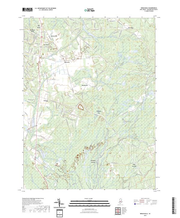
2023 Indian Mills
Burlington County, NJ
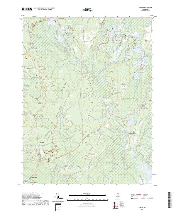
2023 Jenkins
Burlington County, NJ
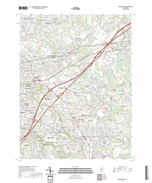
2023 Moorestown
Burlington County, NJ
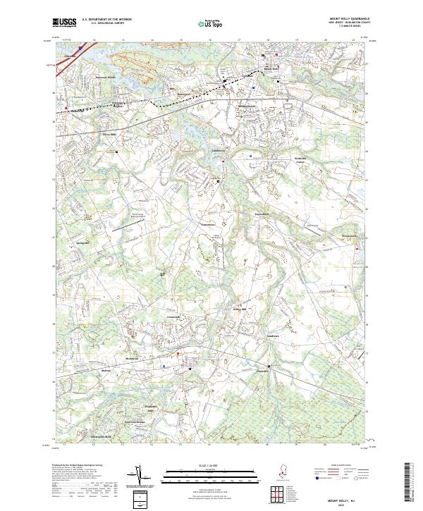
2023 Mount Holly
Burlington County, NJ
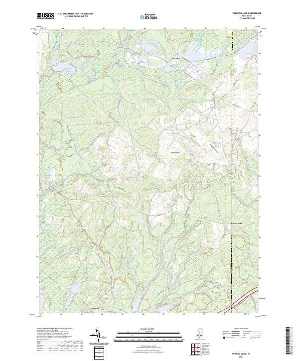
2023 Oswego Lake
Burlington County, NJ
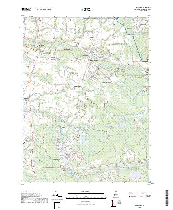
2023 Pemberton
Burlington County, NJ
2023 Woodmansie
Burlington County, NJ
Featured Locations
- Barnegat Township, NJ
- Lacey Township, NJ
- Little Egg Harbor Township, NJ
- Stafford Township, NJ
- Manchester Township, NJ