2000s (21st Century) Maps of Washington
Explore 7,591 historic maps of Washington from the 2000s (21st Century). These maps offer a rare glimpse into what life looked like during the 2000s — showing old roads, neighborhoods, homes, and landmarks that have changed or disappeared over time.
Whether you're researching your family's past, planning a metal detecting trip, or studying how Washington's landscape evolved across the 2000s, these high-resolution maps are a powerful tool for exploring the history of this region.
- Focus on a specific era: All maps on this page are from the 2000s, giving you a focused view of this time period.
- See what’s changed: Compare century-old streets, trails, and buildings to today's modern landscape using overlays and satellite layers.
- Research with precision: Use these maps for genealogy, historical research, land use analysis, or educational projects.
- View, download, or print: Maps are fully viewable online in high resolution, and can be downloaded or printed for your own records.
Start exploring Washington's history through authentic maps from the 2000s. This is your window into the past.
Washington maps
- 2000 Map of Jennies Butte, 2001 Print
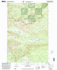 2000 Jennies Butte2001 Print · USGSHigh in the Cascade Range during the late twentieth century, this area shows the intersection of tribal lands and protected wilderness. Trace remote forest boundaries and natural landmarks like Jennies Butte, the historic Campbell Line, and Soda Spring.
 - 2000 Map of Goose Prairie, 2001 Print
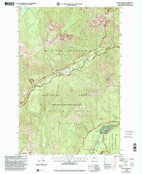 2000 Goose Prairie2001 Print · USGSThe mountain settlement of Goose Prairie and its surrounding wilderness are captured here at the turn of the millennium. Researchers and hikers can locate specific sites like Camp Fife, Pleasant Valley Campground, and the summits of Fifes Peaks.
 - 2000 Map of Weddle Canyon, 2001 Print
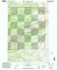 2000 Weddle Canyon2001 Print · USGSYakima County’s high country at the start of the 2000s shows a landscape of deep canyons and protected state wildlife areas. Trace the river-side developments at Rimrock Retreat, the location of an old Mine, and landmarks like Sentinel Rock.
 - 2000 Map of Manastash Lake, 2001 Print
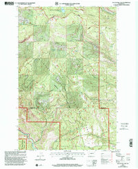 2000 Manastash Lake2001 Print · USGSKittitas and Yakima counties at the start of the millennium are defined here by the high timber and drainages of the Cascades. Map collectors can trace the remote water sources and ridgelines of the Wenatchee National Forest, including Manastash Lake and Rocky Prairie.
 - 2000 Map of Bumping Lake, 2001 Print
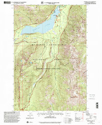 2000 Bumping Lake2001 Print · USGSBumping Lake and the surrounding Cascades are captured here at the turn of the millennium as the area balanced its mining past with modern recreation. Genealogists and historians can trace the site of Copper City or locate the remote Mine and Bumping Lake Campground.
 - 2000 Map of Fairview Ridge, 2001 Print
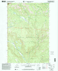 2000 Fairview Ridge2001 Print · USGSYakima County’s high country is captured here at the turn of the millennium, showing the transition from the Yakama Indian Reservation to National Forest lands. Researchers can trace the Old Indian Reservation Boundary and locate landmarks like Kesslers Ranch and Caldwell Prairie.
 - 2000 Map of Pinegrass Ridge, 2001 Print
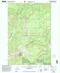 2000 Pinegrass Ridge2001 Print · USGSThe high Cascades of Yakima County come into focus at the turn of the millennium, showing the intersection of three major national forests and the Goat Rocks Wilderness. Hikers and historians can trace the Pacific Crest Nat Scenic Trail past Bear Creek Mtn and remote alpine basins like Conrad Meadows.
 - 2000 Map of Darland Mountain, 2001 Print
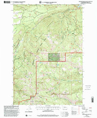 2000 Darland Mountain2001 Print · USGSThe high Cascades of Yakima County are documented here at the turn of the millennium, showing where tribal lands meet national forest wilderness. Researchers can trace remote backcountry access via the DNR Grey Rock Trail or locate isolated spots like Bakeoven Flats and Green Lake.
 - 2000 Map of Meeks Table, 2001 Print
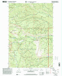 2000 Meeks Table2001 Print · USGSYakima County’s high wilderness and national forest lands are captured at the turn of the millennium, showing a landscape defined by dramatic ridges and alpine basins. Researchers can trace remote 4WD routes and water sources like Meeks Table, McDaniel Lake, and Rattlesnake Creek.
 - 2000 Map of Foundation Ridge, 2001 Print
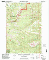 2000 Foundation Ridge2001 Print · USGSThe Yakima high country in the late twentieth century is defined by its ridge systems and forest service outposts. Trace primitive routes like the Dead Horse Trail or locate remote landmarks such as the Ahtanum Guard Sta and Strobach Mtn.
 - 2000 Map of Nile, 2001 Print
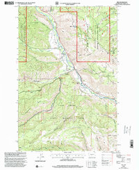 2000 Nile2001 Print · USGSThe Naches River valley in Yakima County is shown at the turn of the millennium as a crossroads of state wildlife management and local ranching. Researchers can trace the layout of the Nile settlement, find the Rattlesnake Ranger Station, and locate the Cheney Ranch among the high ridges.
 - 2000 Map of Tieton Basin, 2001 Print
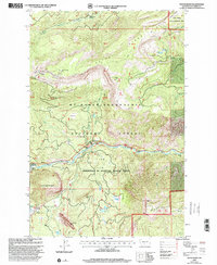 2000 Tieton Basin2001 Print · USGSThe mountain corridors of Yakima County are captured here at the turn of the millennium, showing a landscape defined by forest management and outdoor recreation. Researchers can locate specific sites like the Tieton Emergency Airstrip, the Tieton Work Center, and various camps along the Tieton River.
 - 2000 Map of Cliffdell, 2001 Print
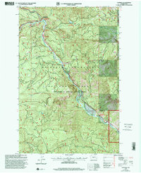 2000 Cliffdell2001 Print · USGSThe Naches River valley in the Central Cascades is captured here at the end of the century, showing a landscape defined by mountain recreation and small riverside settlements. Researchers can trace the grounds of Camp Roganunda, find the Peterson Cem, and locate numerous sites like Sawmill Flat Campground.
 - 2000 Map of Norse Peak, 2001 Print
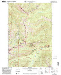 2000 Norse Peak2001 Print · USGSHigh in the Cascades during the late twentieth century, this area shows a landscape defined by wilderness preservation and alpine recreation. Researchers can trace the Pacific Crest National Scenic Trail past high-altitude Mines and landmarks like Norse Peak and the Lodgepole Campground.
 - 2000 Map of Timberwolf Mountain, 2001 Print
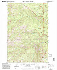 2000 Timberwolf Mountain2001 Print · USGSYakima County’s high-altitude forest lands are captured here at the turn of the millennium, showing a landscape defined by wilderness protection and national forest management. Researchers can locate remote features like Nelson Butte, Schneider Springs, and the headwaters of Hindoo Creek.
 - 2000 Map of Old Scab Mountain, 2001 Print
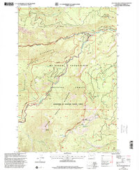 2000 Old Scab Mountain2001 Print · USGSThe Cascades of Yakima County are documented here as they appeared at the turn of the century, showing a wilderness crisscrossed by fire trails and forest roads. Trace routes up Fifes Ridge or locate backcountry sites like Flat Iron Lake and Indian Flat Campground.
 - 2000 Map of Cougar Lake, 2001 Print
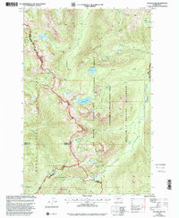 2000 Cougar Lake2001 Print · USGSThe high Cascade crest at the turn of the millennium serves as a meeting point for major wilderness areas and national forests. Researchers can trace the path of the Pacific Crest National Scenic Trail past the Patrol Cabin and numerous alpine waters like Cougar Lake.
 - 2000 Map of Rimrock Lake, 2001 Print
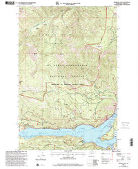 2000 Rimrock Lake2001 Print · USGSThe Yakima backcountry at the turn of the millennium shows the vital water management and wilderness protections of the Cascade Range. Outdoor historians and researchers can trace the roads around Rimrock Lake to landmarks like the Tieton Dam and Indian Creek Campground.
 - 2000 Map of Mount Wow, 2003 Print
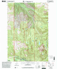 2000 Mount Wow2003 Print · USGSThe high ridges and glacial valleys of Pierce County are captured here at the turn of the millennium, spanning the border of Mount Rainier National Park. Researchers can locate the Marine Memorial Airplane Crash Monument and the Patrol Cabin Shelter.
 - 2000 Map of Klickitat, 2003 Print
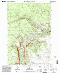 2000 Klickitat2003 Print · USGSThe Klickitat River canyon and its surrounding plateaus are captured here at the start of the millennium. Local historians can trace the town of Klickitat, the settlement at Pitt, and industrial landmarks like Woodruff Mill or the Snyder Stratum.
 - 2000 Map of Larch Mountain, 2003 Print
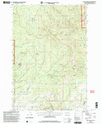 2000 Larch Mountain2003 Print · USGSClark County woodland and mountain terrain are meticulously detailed in the late twentieth century, showing a mix of state and national forests. Researchers can trace land use through the Larch Corrections Center, Camp Bonneville Military Reservation, and the Tarbell Trail.
 - 2000 Map of Yale Dam, 2003 Print
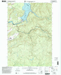 2000 Yale Dam2003 Print · USGSThe Lewis River reservoirs define this Clark and Cowlitz County landscape at the turn of the millennium. Local historians can trace the development around Yale Dam, the Yale settlement, and landmarks like Tumtum Mountain and the Cem.
 - 2000 Map of Bernier Creek, 2003 Print
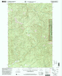 2000 Bernier Creek2003 Print · USGSLewis County's timberlands and river headwaters are captured at the turn of the millennium in this detailed forest survey. Researchers can trace the winding paths of the Skookumchuck River, Windy Knob, and the various forks of the Newaukum River.
 - 2000 Map of Goat Mountain, 2003 Print
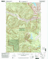 2000 Goat Mountain2003 Print · USGSCowlitz County at the turn of the millennium shows a wilderness in transition following volcanic activity. Researchers can trace the recovery of the South Fork Toutle River and locate recreational landmarks like Kalama Horse Camp and Castle Lake.
 - 2000 Map of Dole, 2003 Print
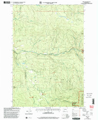 2000 Dole2003 Print · USGSDole and the surrounding national forest lands are shown at the turn of the millennium as a hub for timber history and recreation. Researchers can trace the legacy of the Yacolt Burn and locate sites like Horseshoe Falls or the Rock Creek Campground.
Showing maps 1-25
Top cities of Washington
- Seattle historical maps
- Spokane historical maps
- Tacoma historical maps
- Vancouver historical maps
- Bellevue historical maps
- Kent historical maps
See more
Top counties of Washington
- King County historical maps
- Pierce County historical maps
- Snohomish County historical maps
- Spokane County historical maps
- Clark County historical maps
- Thurston County historical maps
See more
Frequently asked questions
- What are the different types of historical maps available for Washington?
- What is the oldest map of Washington?
- Where can I purchase historical maps of Washington for my home or office?
- Where can I download high-res historical maps of Washington?
- Are there historical topographic maps available for Washington?
- Is there historical aerial imagery available for Washington?
- Where are historical maps of Washington sourced from?