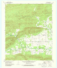
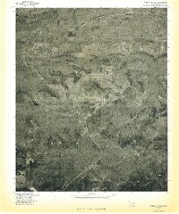
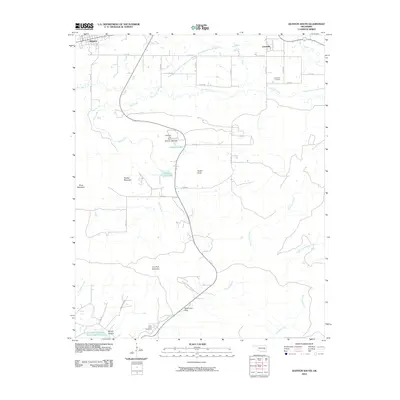
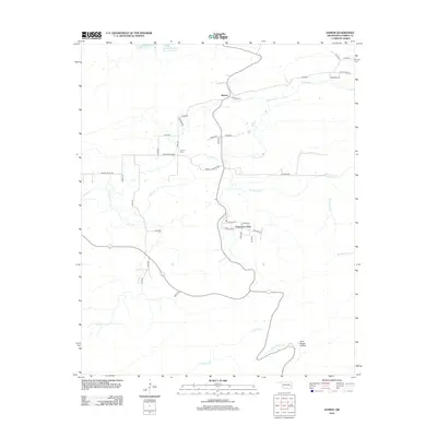
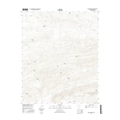
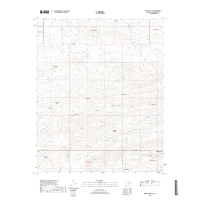
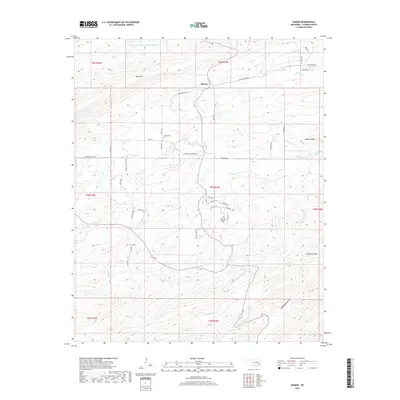
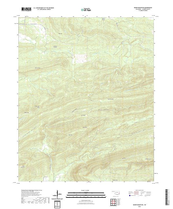
1979 Map of Baker Mountain
USGS Topo · Published 1980About this map
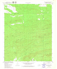
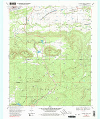
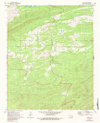
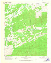
Craven Mountain and the parallel ridges of the Ouachita Mountains dominate this Latimer County landscape in the late 1970s. The map highlights a complex drainage system where Gaines Creek and its many branches, including South Gaines Creek, carve deep valleys between high points like Bear Suck Knob and Weber Mtn. On the southern edge, the terrain rises sharply toward Buffalo Mountain, which is marked by a prominent Lookout Tower and Radio Tower. This area represents a largely undeveloped stretch of Oklahoma highland, where the only sign of modern aviation is a lone Landing Strip tucked near the northern slopes of Dipping Vat Mountain. Deep hollows such as Eight Mile Hollow and Peachland Hollow define the spaces between Damon Mountain and the Winding Stair Mountain range, illustrating the difficult geography that historically isolated these interior ridges.
Find a feature on this map
37 named features on this map. Tap any name to fly to it.
Don’t see what you’re looking for? This feature index may not catch every label — zoom into the map to look around manually.
Map Details
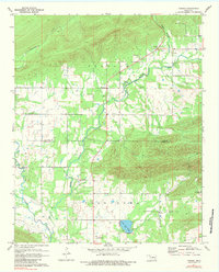
Editions of this 1979 Baker Mountain Map
This is the sole edition of this map. No revisions or reprints were ever made.
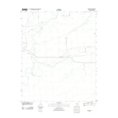
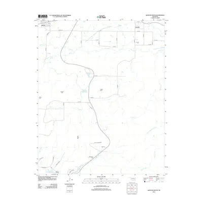
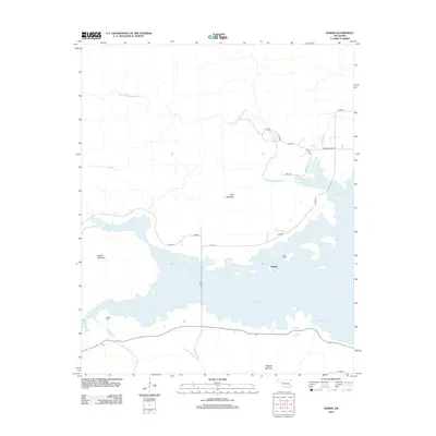
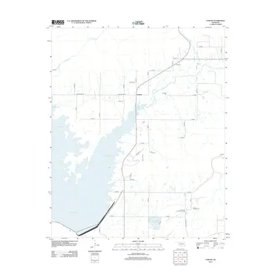
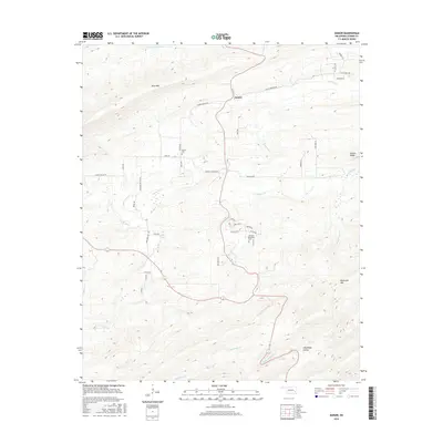
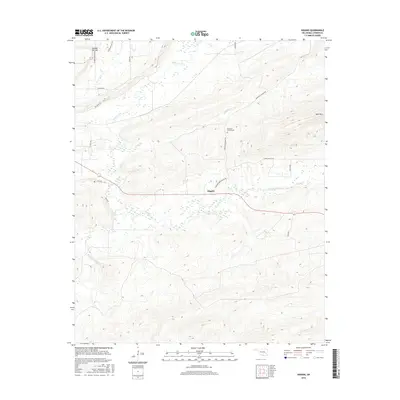
Historical Maps of Latimer County Through Time
39 maps found
1969 Quinton South
Latimer County, OK
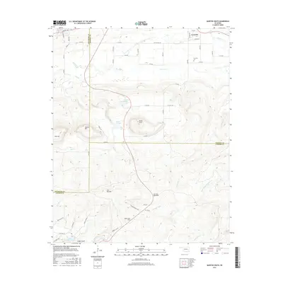
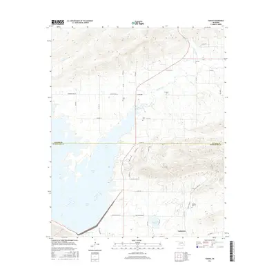
1971 Damon
Latimer County, OK
1971 Higgins
Latimer County, OK
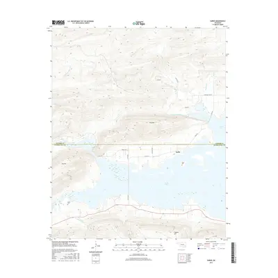
1971 Sardis
Latimer County, OK
1971 Yanush
Latimer County, OK
1977 Damon
Latimer County, OK
1977 Higgins
Latimer County, OK
1977 Quinton South
Latimer County, OK
1979 Baker Mountain
Latimer County, OK
2009 Higgins
Latimer County, OK
2010 Baker Mountain
Latimer County, OK
2010 Damon
Latimer County, OK
2010 Quinton South
Latimer County, OK
2010 Sardis
Latimer County, OK
2010 Yanush
Latimer County, OK
2012 Baker Mountain
Latimer County, OK
2012 Damon
Latimer County, OK
2012 Higgins
Latimer County, OK
2012 Quinton South
Latimer County, OK
2013 Sardis
Latimer County, OK
2013 Yanush
Latimer County, OK
2016 Baker Mountain
Latimer County, OK
2016 Damon
Latimer County, OK
2016 Higgins
Latimer County, OK
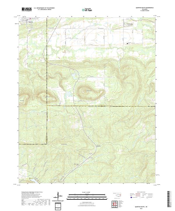
2016 Quinton South
Latimer County, OK
2016 Sardis
Latimer County, OK
2016 Yanush
Latimer County, OK
2018 Baker Mountain
Latimer County, OK
2018 Damon
Latimer County, OK
2018 Higgins
Latimer County, OK
2018 Quinton South
Latimer County, OK
2019 Sardis
Latimer County, OK
2019 Yanush
Latimer County, OK
2022 Baker Mountain
Latimer County, OK
2022 Damon
Latimer County, OK
2022 Higgins
Latimer County, OK
2022 Quinton South
Latimer County, OK
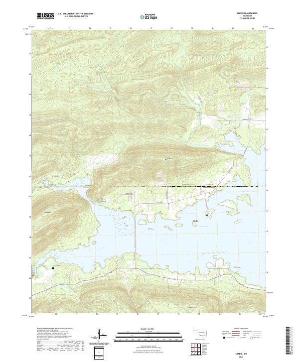
2022 Sardis
Latimer County, OK
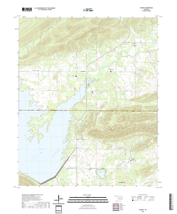
2022 Yanush
Latimer County, OK