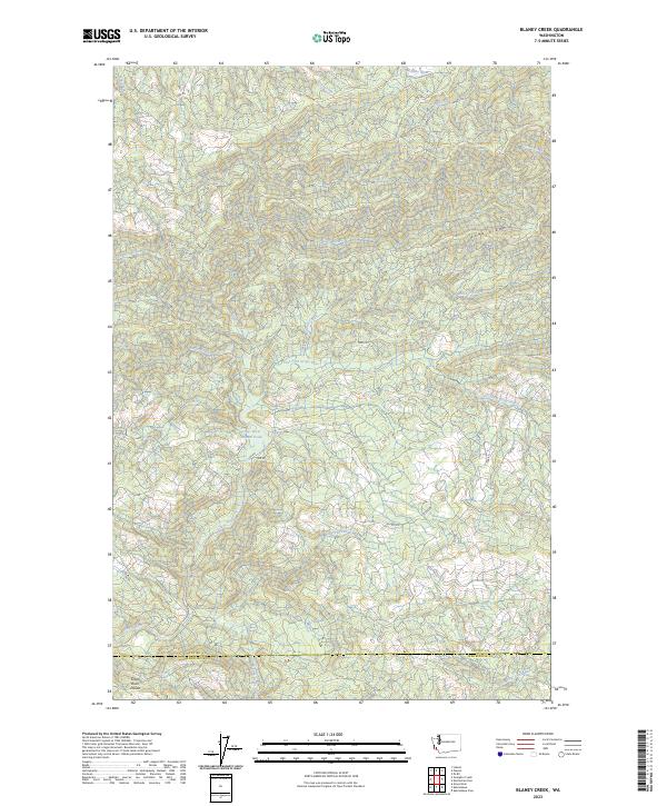
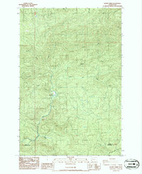
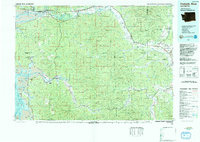
2023 Map of Blaney Creek
USGS Topo · Published 2023About this map
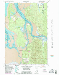
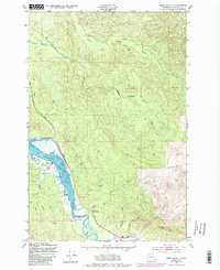
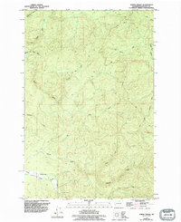
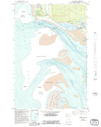
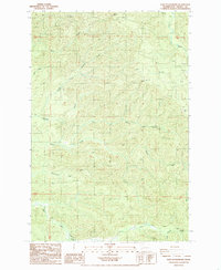
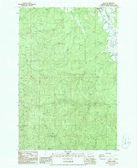
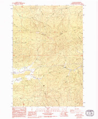
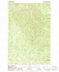
Grays River and the Willapa River define this Pacific Northwest landscape where the high timberlands of Long Ridge meet the headwaters of the coastal river systems. The map details a complex network of forest access routes like C-Line Rd and F-Line Rd, which crisscross the steep terrain between the Grays River Divide and the many tributaries feeding the main channels. A notable feature of the local aquatic ecosystem is the Grays River Salmon Pond, situated along the river's path as it flows toward the Pacific and Wahkiakum county line. The drainage pattern is exceptionally intricate, with named waterways such as Blaney Creek, Crim Creek, and the East Fork Grays River carving deep valleys through the ridge systems, illustrating the area's role as a vital watershed for the region.
Find a feature on this map
38 named features on this map. Tap any name to fly to it.
Don’t see what you’re looking for? This feature index may not catch every label — zoom into the map to look around manually.
Map Details
Editions of this 2023 Blaney Creek Map
This is the sole edition of this map. No revisions or reprints were ever made.
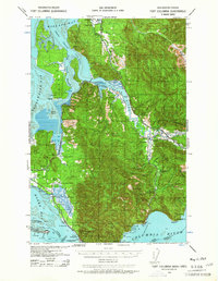
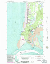
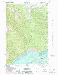
Historical Maps of Pacific County Through Time
38 maps found

1938 Cape Disappointment
Pacific County, WA

1938 Cape Shoalwater
Pacific County, WA
1938 Fort Columbia
Pacific County, WA

1940 Brookfield
Pacific County, WA

1941 Walville
Pacific County, WA

1943 Fort Columbia
Pacific County, WA
1949 Cape Disappointment
Pacific County, WA
1949 Knappton
Pacific County, WA
1949 Long Island
Pacific County, WA
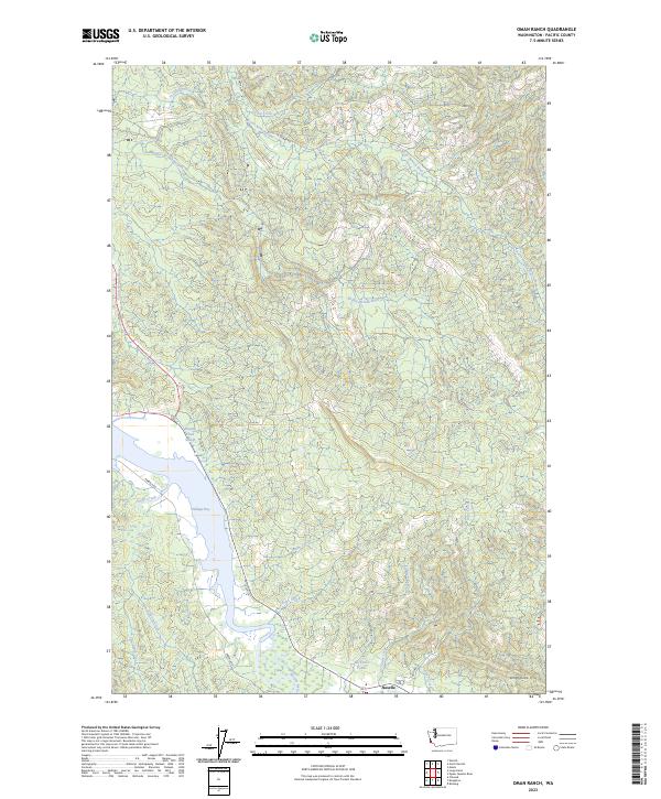
1949 Oman Ranch
Pacific County, WA

1949 Upper Naselle River
Pacific County, WA
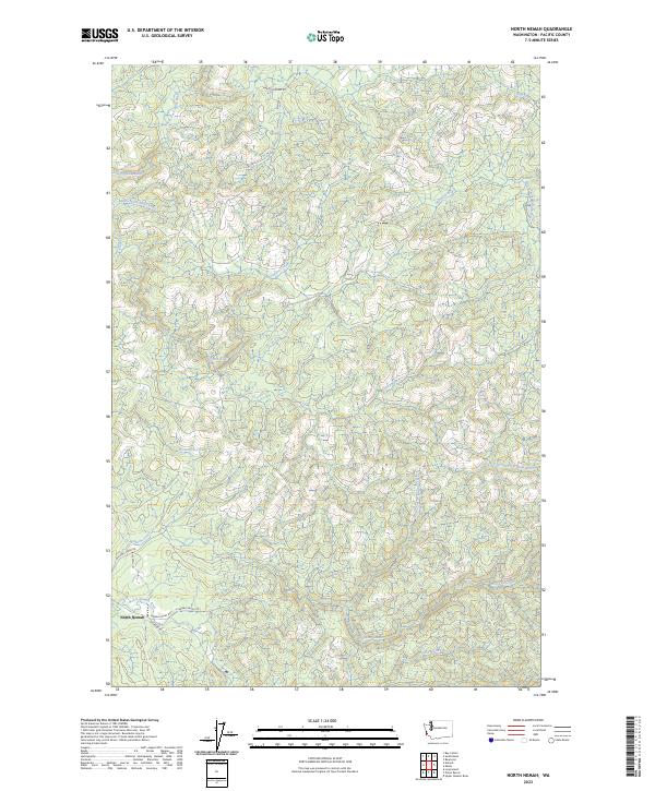
1955 North Nemah
Pacific County, WA
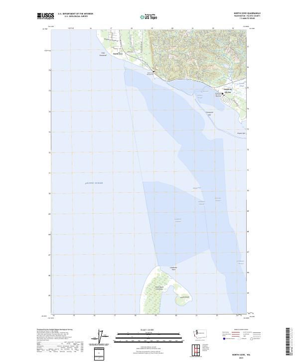
1956 North Cove
Pacific County, WA
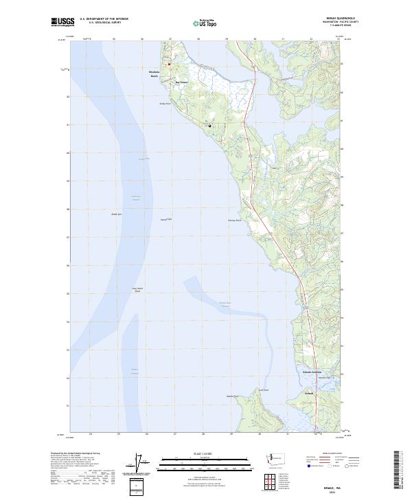
1957 Nemah
Pacific County, WA
1957 Oysterville
Pacific County, WA
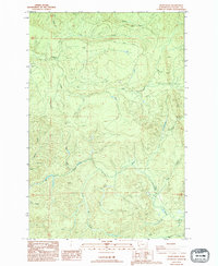
1986 Blaney Creek
Pacific County, WA
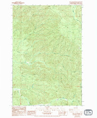
1986 Dean Creek
Pacific County, WA
1986 East of Raymond
Pacific County, WA
1986 Menlo
Pacific County, WA
1986 Pluvius
Pacific County, WA
1986 Sweigiler Creek
Pacific County, WA
1992 Chehalis River
Pacific County, WA
1994 East of Raymond
Pacific County, WA
2023 Blaney Creek
Pacific County, WA
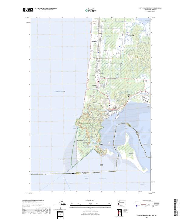
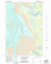
2023 Cape Disappointment
Pacific County, WA
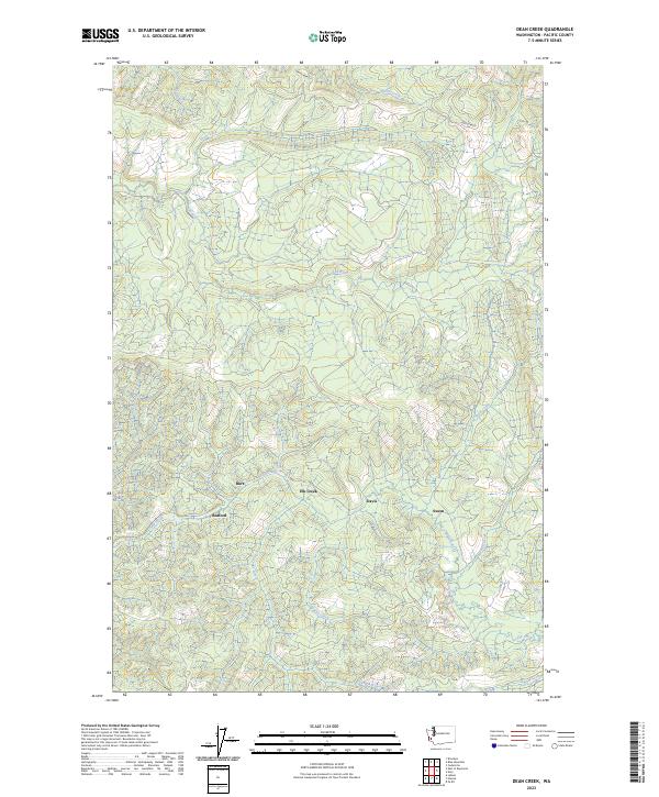
2023 Dean Creek
Pacific County, WA
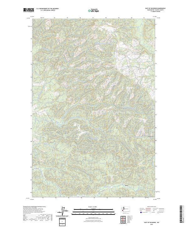
2023 East of Raymond
Pacific County, WA
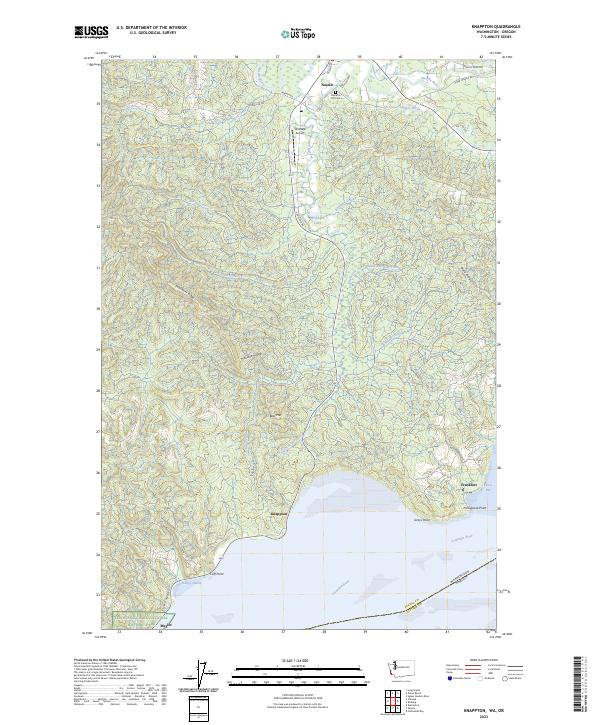
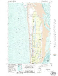
2023 Knappton
Pacific County, WA
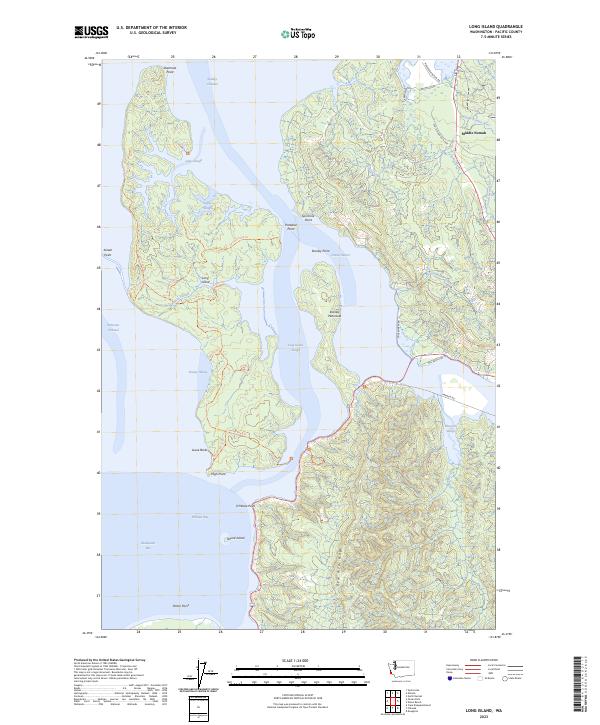
2023 Long Island
Pacific County, WA
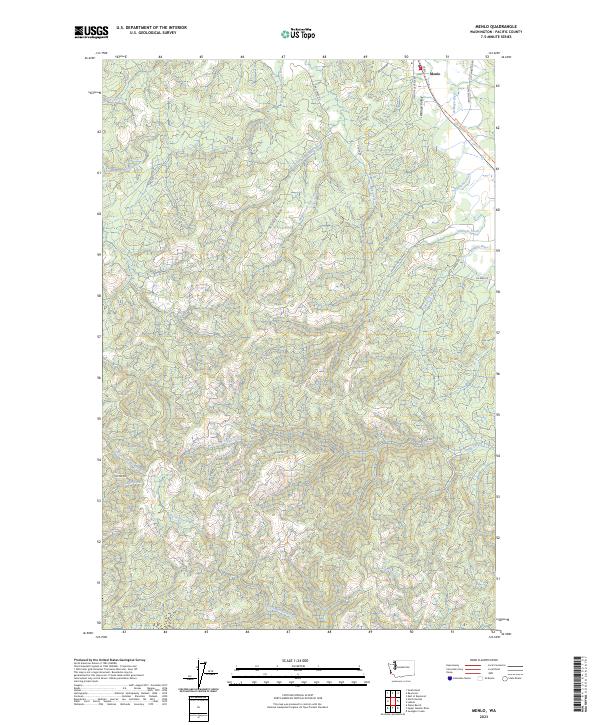
2023 Menlo
Pacific County, WA
2023 Nemah
Pacific County, WA
2023 North Cove
Pacific County, WA
2023 North Nemah
Pacific County, WA
2023 Oman Ranch
Pacific County, WA
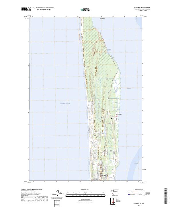
2023 Oysterville
Pacific County, WA
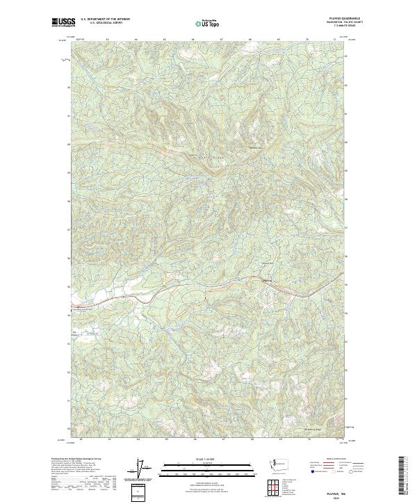
2023 Pluvius
Pacific County, WA
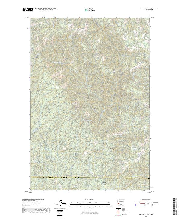
2023 Sweigiler Creek
Pacific County, WA
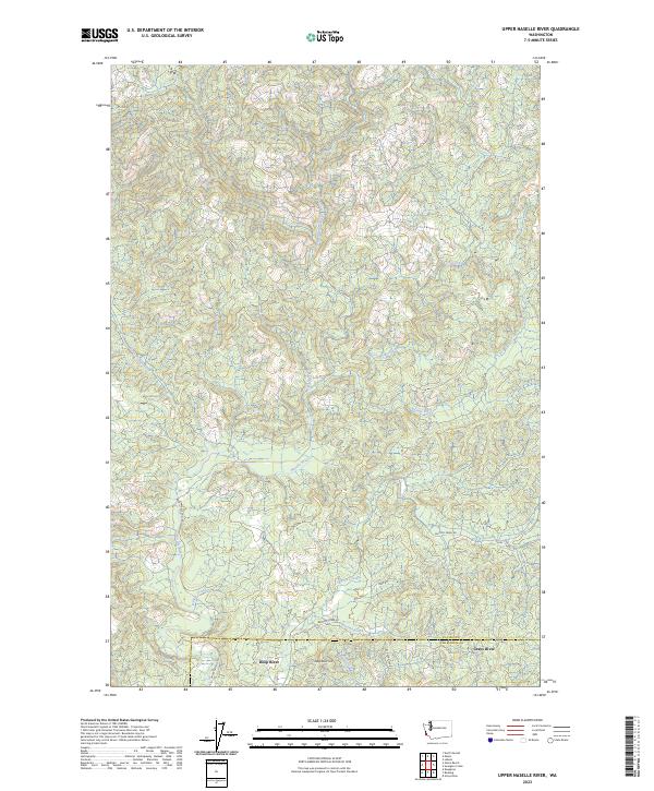
2023 Upper Naselle River
Pacific County, WA