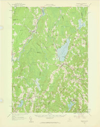
1957 Map of Burnham
USGS Topo · Published 1959About this map
Unity Pond and the surrounding agricultural landscape of Central Maine define this 1950s-era revision, showcasing a region structured by small crossroads settlements and seasonal water features. The Belfast and Moosehead Lake Railroad cuts through the territory, linking Burnham (Burnham Junc.) with towns like Unity and Thorndike, illustrating the mid-century rail-and-river economy. The map is particularly rich in local community landmarks, including the Freedom Academy and several specialized rural schools such as the Troy Central Sch and Thorndike Center Sch.
Find a feature on this map
79 named features on this map. Tap any name to fly to it.
Don’t see what you’re looking for? This feature index may not catch every label — zoom into the map to look around manually.
Map Details
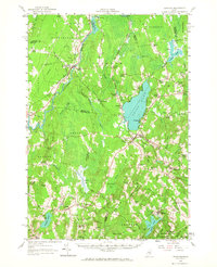
Editions of this 1957 Burnham Map
2 editions found
Other maps of this area

1892 · Waterville
USGS Topo · 1:62,500

1893 · Vassalboro
USGS Topo · 1:62,500

1898 · Vassalboro
USGS Topo · 1:62,500

1913 · Skowhegan
USGS Topo · 1:62,500

1915 · Belfast
USGS Topo · 1:62,500

1916 · Liberty
USGS Topo · 1:62,500

1917 · Belfast
USGS Topo · 1:62,500

1926 · Burnham
USGS Topo · 1:62,500

1930 · Pittsfield
USGS Topo · 1:48,000

1931 · Stetson
USGS Topo · 1:48,000