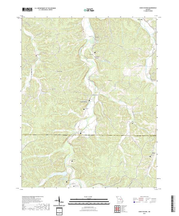
2021 Map of Cook Station
USGS Topo · Published 2021About this map
The Meramec River winds through this section of the Ozarks, where the border between Crawford and Dent counties meets. The settlement of Cook Station serves as a central point in a landscape defined by ridges and hollows, including Burley Ridge and Canaan Hollow. This modern-era survey shows a high concentration of family and community burial grounds, such as Cooksey Cem, Delcour Cem, and Roberts Cem, which are vital for genealogical research in this rural corridor. Historically significant locations like Wesco and Sligo appear alongside modern infrastructure, while natural water sources like Anderson Spring and Lenox Spring continue to define the hydrology of the area. The presence of Old Mine Rd near Ploch Lake hints at the region's mineral history, even as the landscape has transitioned into a mix of small settlements and managed lands.
Find a feature on this map
75 named features on this map. Tap any name to fly to it.
Don’t see what you’re looking for? This feature index may not catch every label — zoom into the map to look around manually.
Map Details
Editions of this 2021 Cook Station Map
This is the sole edition of this map. No revisions or reprints were ever made.
Other maps of this area

1928 · Meramec Spring
USGS Topo · 1:62,500

1932 · Steelville
USGS Topo · 1:48,000

1933 · Steelville
USGS Topo · 1:62,500

1937 · Steelville
USGS Topo · 1:62,500

1941 · Salem
USGS Topo · 1:62,500

1941 · Stone Hill
USGS Topo · 1:62,500

1945 · Salem
USGS Topo · 1:62,500

1945 · Stone Hill
USGS Topo · 1:62,500

1949 · Rolla
USGS Topo · 1:250,000

1949 · Meramec Spring
USGS Topo · 1:62,500