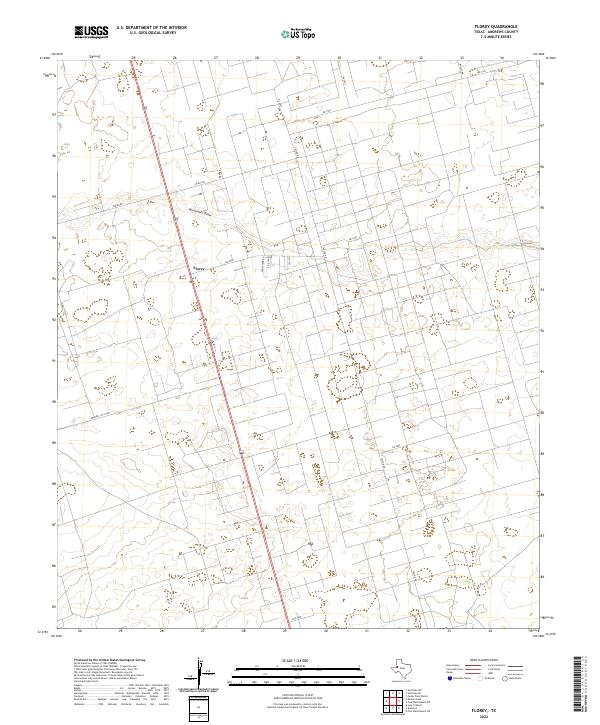
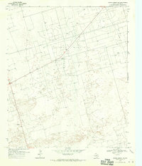
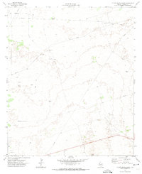
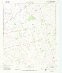
2022 Map of Florey
USGS Topo · Published 2022This historical map portrays the area of Florey in 2022, primarily covering Andrews County. Featuring a scale of 1:24000, this map provides a highly detailed snapshot of the terrain, roads, buildings, counties, and historical landmarks in the Florey region at the time. Published in 2022, it is the sole known edition of this map.
Map Details
Editions of this 2022 Florey Map
This is the sole edition of this map. No revisions or reprints were ever made.
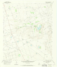
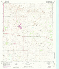
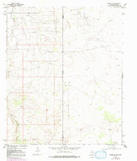
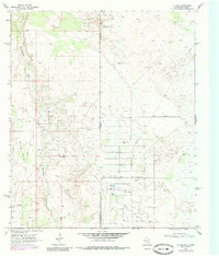
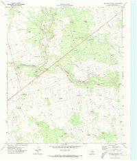
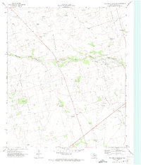
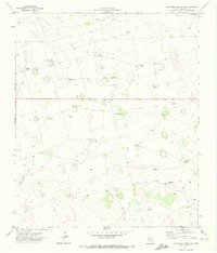
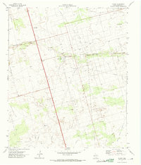
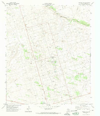
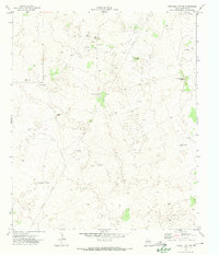
Historical Maps of Grinsdale Addition Through Time
40 maps found
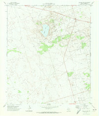
1968 Baird Lake
Andrews County, TX
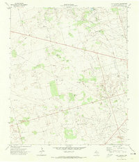
1968 Clabber Hill Ranch
Andrews County, TX
1968 Gardendale NW
Andrews County, TX
1968 North Cowden NW
Andrews County, TX
1969 Eunice NE
Andrews County, TX
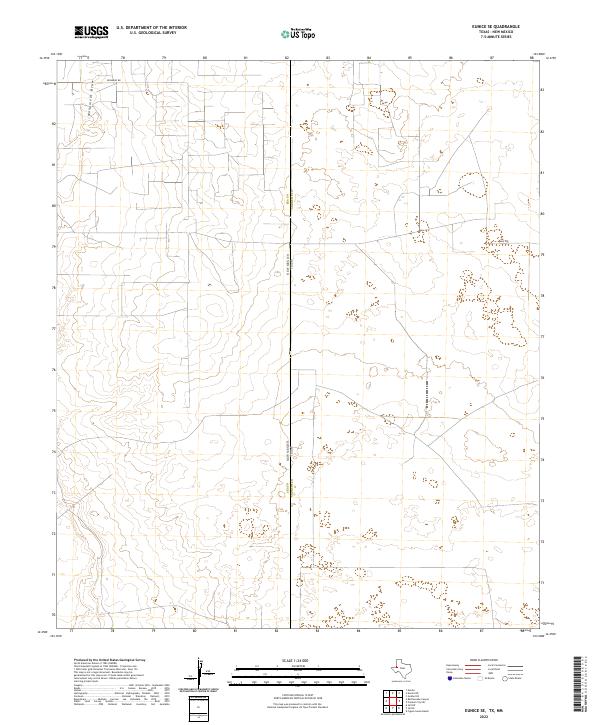
1969 Eunice SE
Andrews County, TX
1969 Jal NE
Andrews County, TX
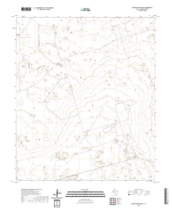
1971 Figure Seven Ranch
Andrews County, TX
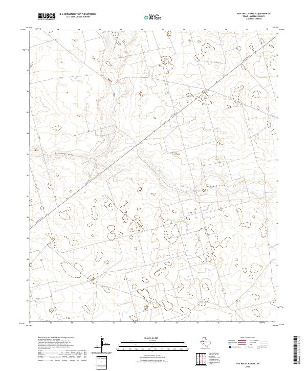
1971 Five Wells Ranch
Andrews County, TX
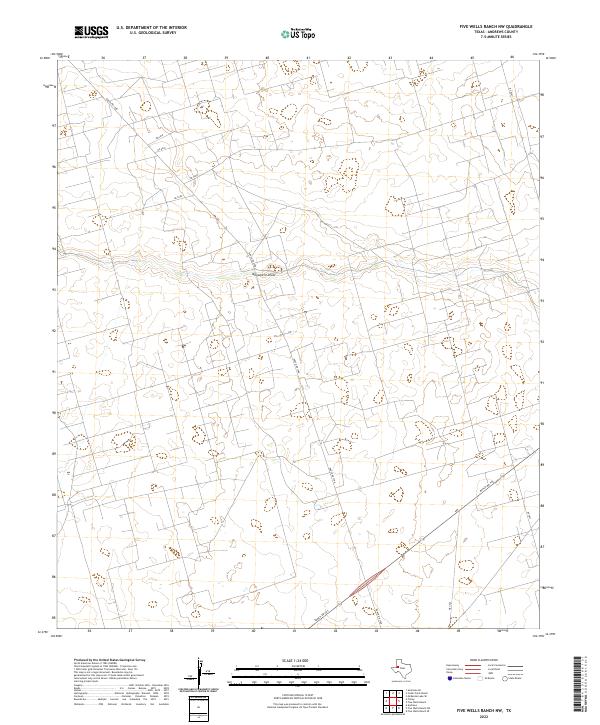
1971 Five Wells Ranch NW
Andrews County, TX
1971 Five Wells Ranch SE
Andrews County, TX
1971 Five Wells Ranch SW
Andrews County, TX
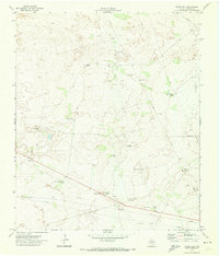
1971 Florey
Andrews County, TX
1971 Frankel City
Andrews County, TX
1971 Frankel City SW
Andrews County, TX
1971 Jumbo Hill
Andrews County, TX
1971 Lazy X Ranch
Andrews County, TX
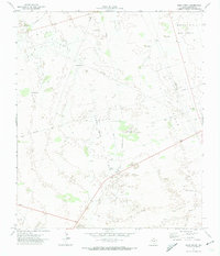
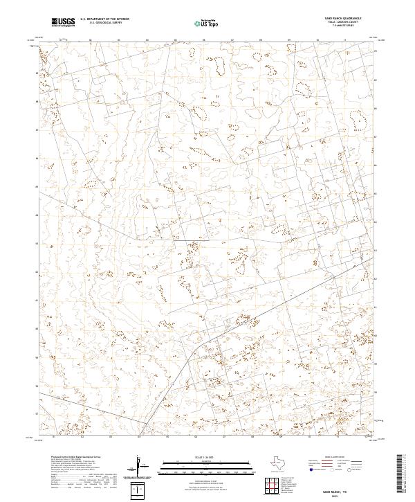
1971 Sand Ranch
Andrews County, TX
1971 Shafter Lake
Andrews County, TX
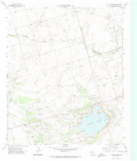
1971 Whalen Lake
Andrews County, TX
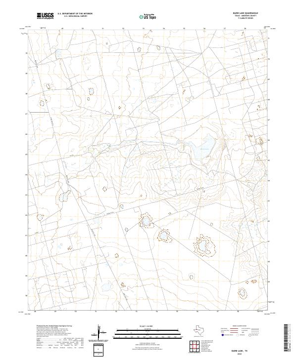
2022 Baird Lake
Andrews County, TX
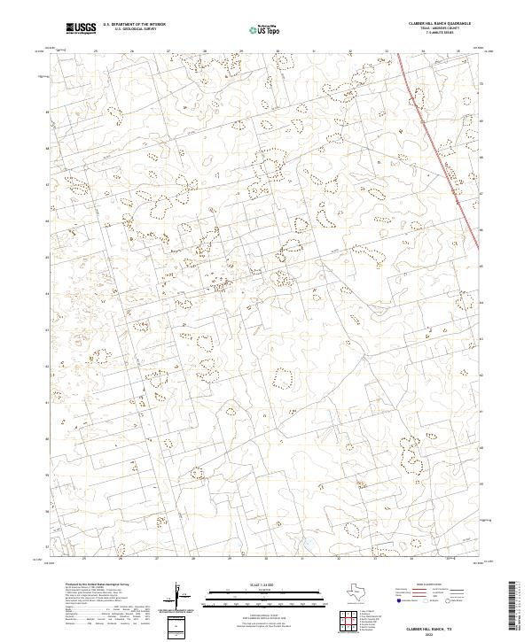
2022 Clabber Hill Ranch
Andrews County, TX
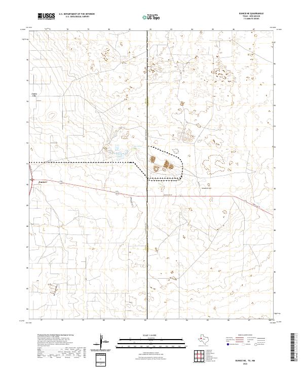
2022 Eunice NE
Andrews County, TX
2022 Eunice SE
Andrews County, TX
2022 Figure Seven Ranch
Andrews County, TX
2022 Five Wells Ranch
Andrews County, TX
2022 Five Wells Ranch NW
Andrews County, TX
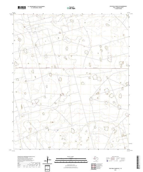
2022 Five Wells Ranch SE
Andrews County, TX
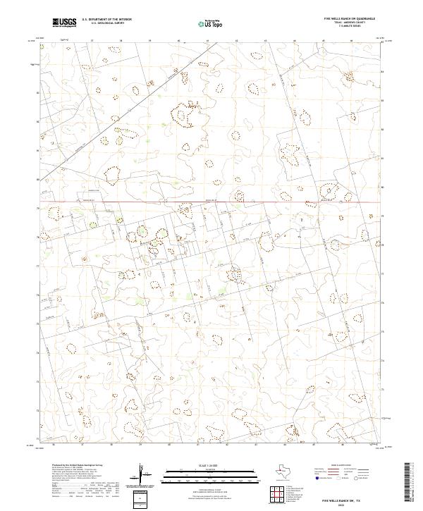
2022 Five Wells Ranch SW
Andrews County, TX
2022 Florey
Andrews County, TX
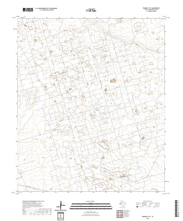
2022 Frankel City
Andrews County, TX
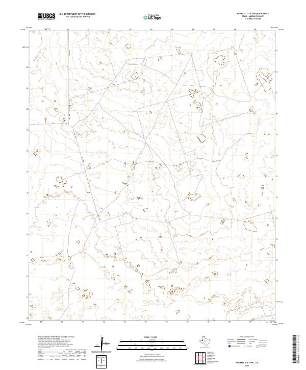
2022 Frankel City SW
Andrews County, TX
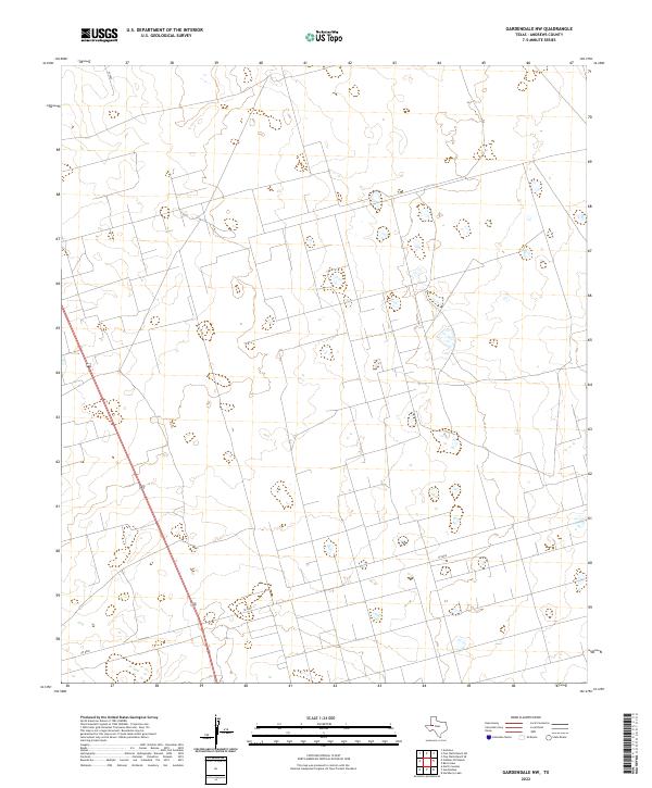
2022 Gardendale NW
Andrews County, TX
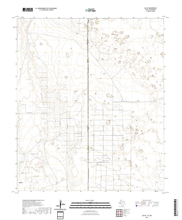
2022 Jal NE
Andrews County, TX
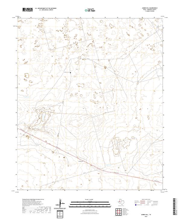
2022 Jumbo Hill
Andrews County, TX
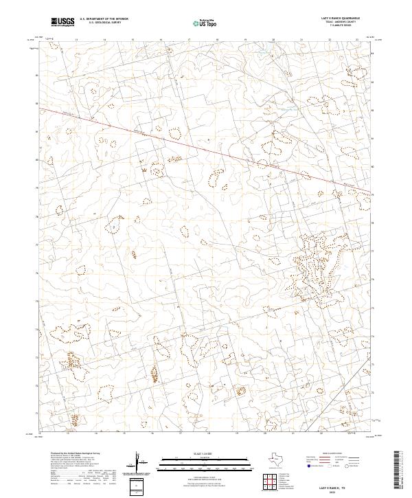
2022 Lazy X Ranch
Andrews County, TX

2022 North Cowden NW
Andrews County, TX
2022 Sand Ranch
Andrews County, TX
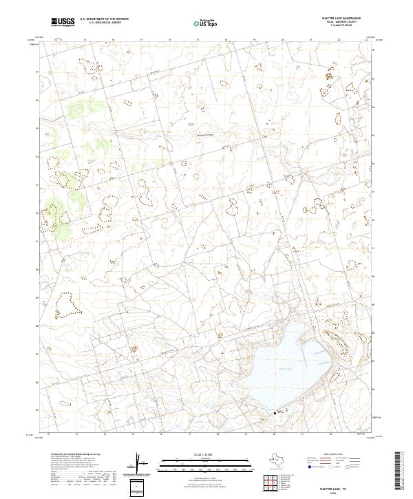
2022 Shafter Lake
Andrews County, TX
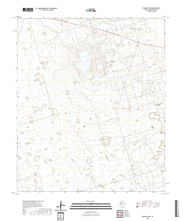
2022 Whalen Lake
Andrews County, TX